Map of France Departments
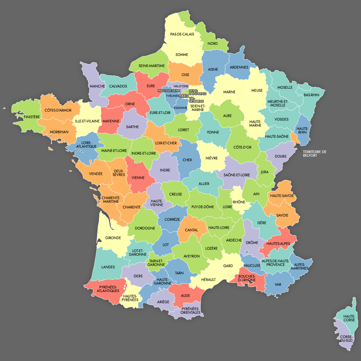
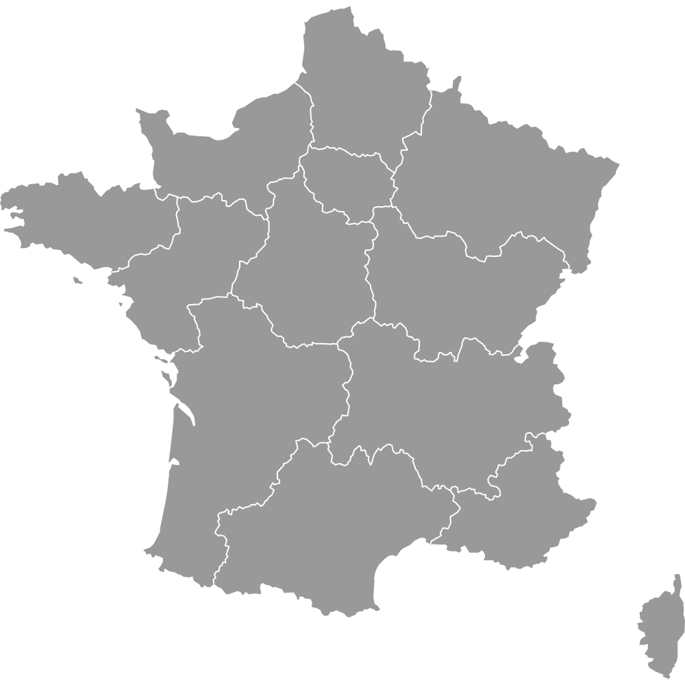
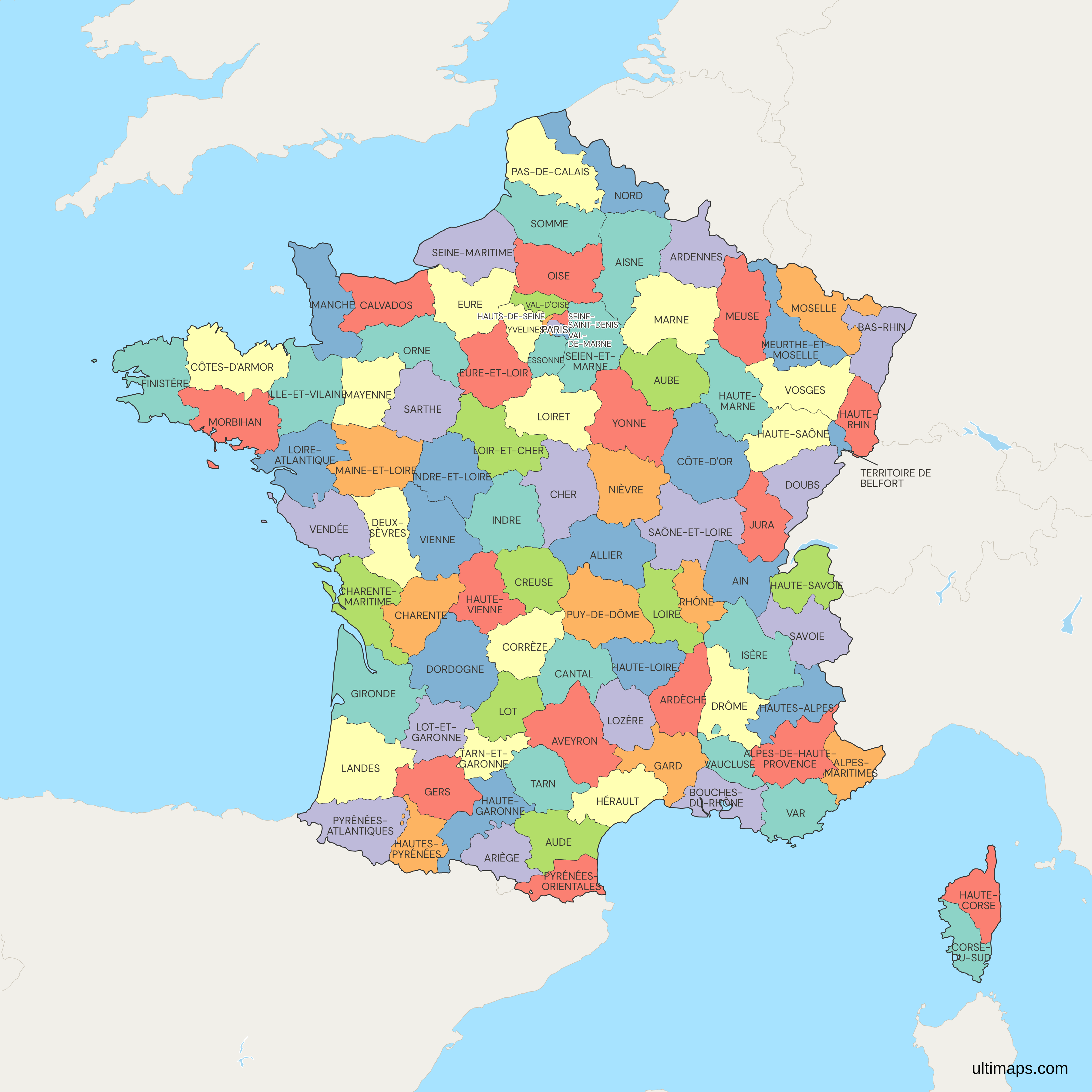
France is divided into 96 metropolitan and 5 overseas departments (not covered by this map), which serve as the primary administrative units established during the French Revolution. These departments are key for local governance and services. Use the interactive maps below to explore the departments and their boundaries. Download free maps or learn more about creating a custom map of France to visualize your own data.
See also: Map of France Regions
Interactive Map of France Departments
List of Departments (96)
France Departments: Key Facts
- Total number of departments: 101 (96 metropolitan and 5 overseas)
- Largest department by area: Gironde - 10,000 square kilometers (3,900 square miles)
- Smallest department by area: Paris - 105 square kilometers (41 square miles)
- Most populous department: Nord - 2,550,000 inhabitants
- Least populous department: Lozère - 74,000 inhabitants
- Department numbering system: Two-digit numbers for postal codes, social security, and historical vehicle registration
- Subdivisions: Departments are divided into arrondissements, cantons, and communes
Interesting Facts
- Paris, the capital of France, holds a unique status as both a commune and a department.
- Each department has its own prefecture, which may not be its largest city.
- Corsica uses different numbering: 2A and 2B
Free Downloads
Free for personal and commercial use with a credit to Ultimaps. See the license terms for details.
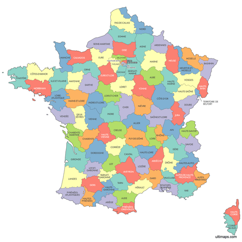 Colored Map of France Departmentspng1075 KB
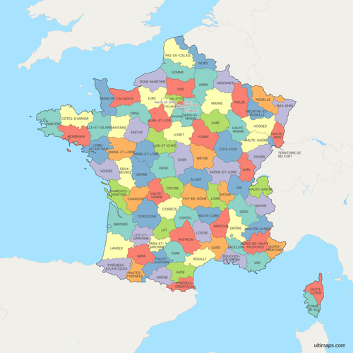 Political Map of France with Departmentspng1160 KB
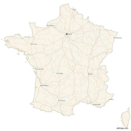 Map of France with Cities and Roadspng1178 KB

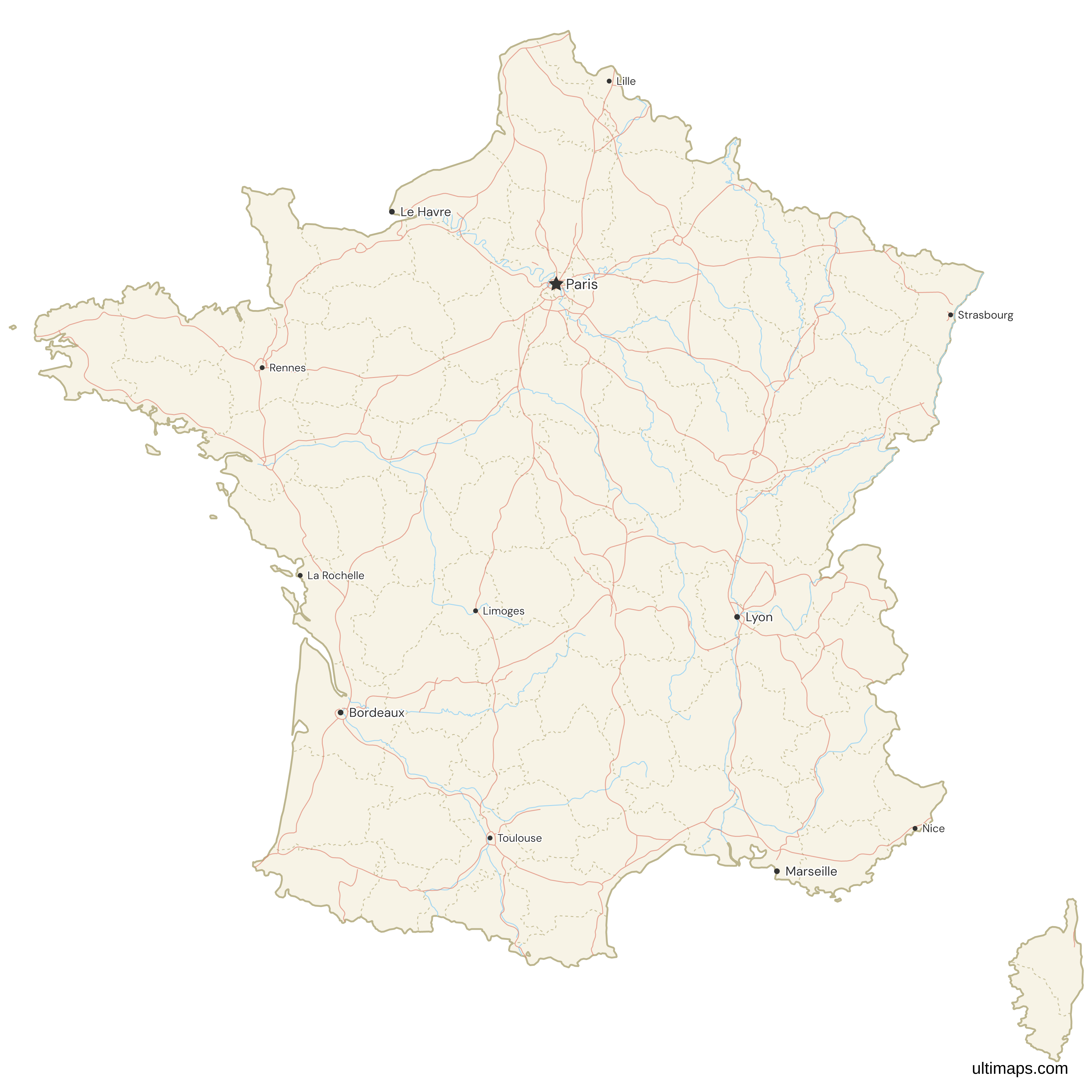
Need it without colors? The blank version of this map comes as a print-ready PDF (A4 and US Letter), a PNG and an editable SVG.
Custom Map Features
This map supports labels.
This map supports surrounding areas, roads, rivers and cities. New
This map is divided into 96 departments.
Updates
Sep 15, 2025:
- Added labeled version
Dec 2, 2024:
- Added map of France Departments
Frequently Asked Questions
France has 101 deparments, including 96 metropolitan and 5 overseas.
Gironde is the largest department by area, covering 10,000 square kilometers (3,900 square miles).