Map of Italy Provinces
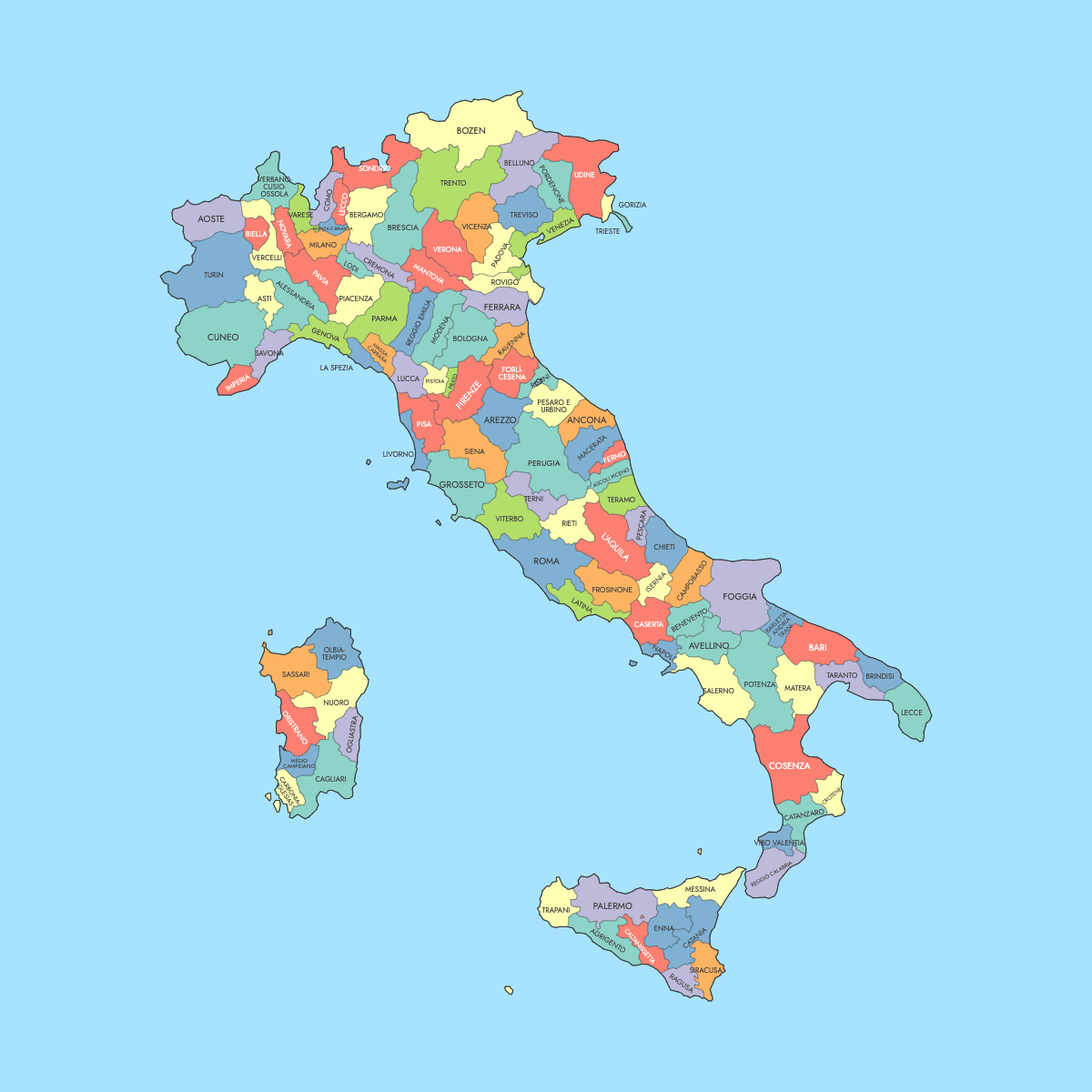
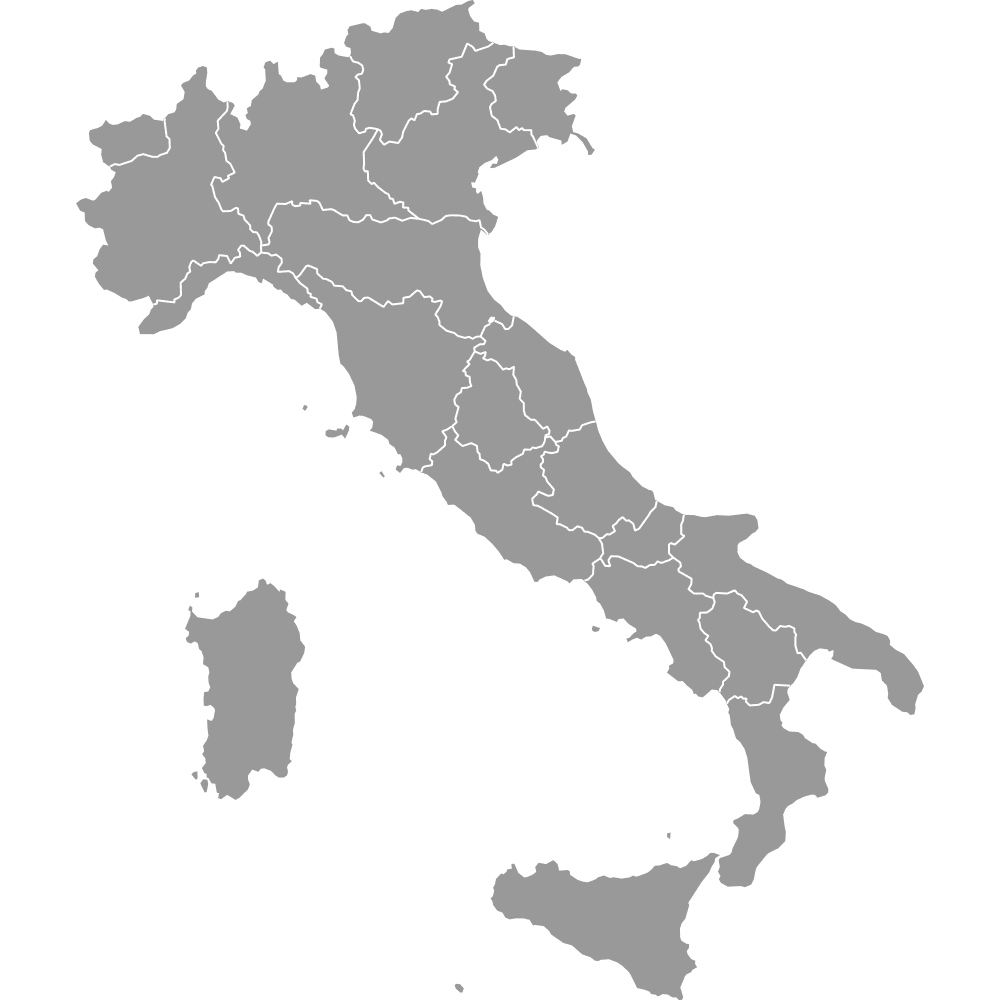
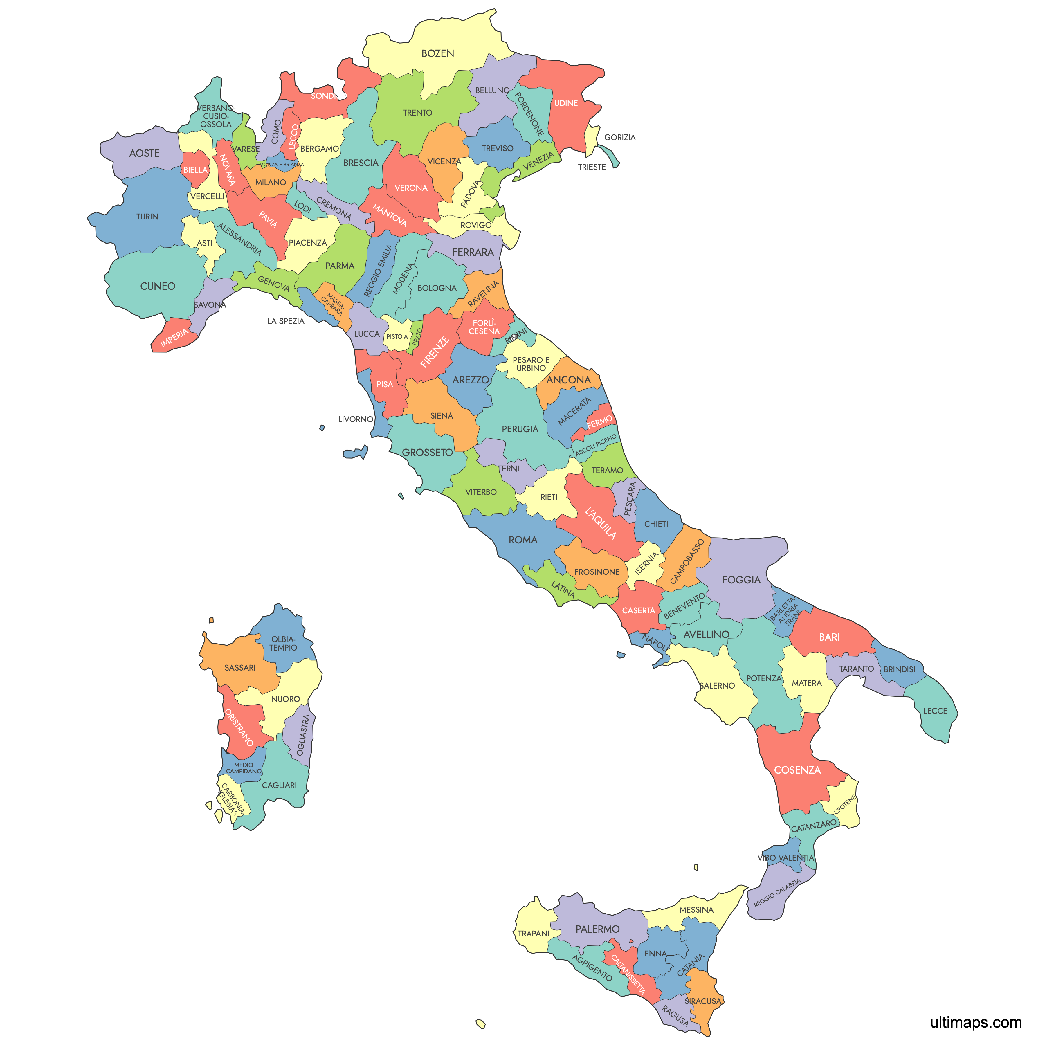
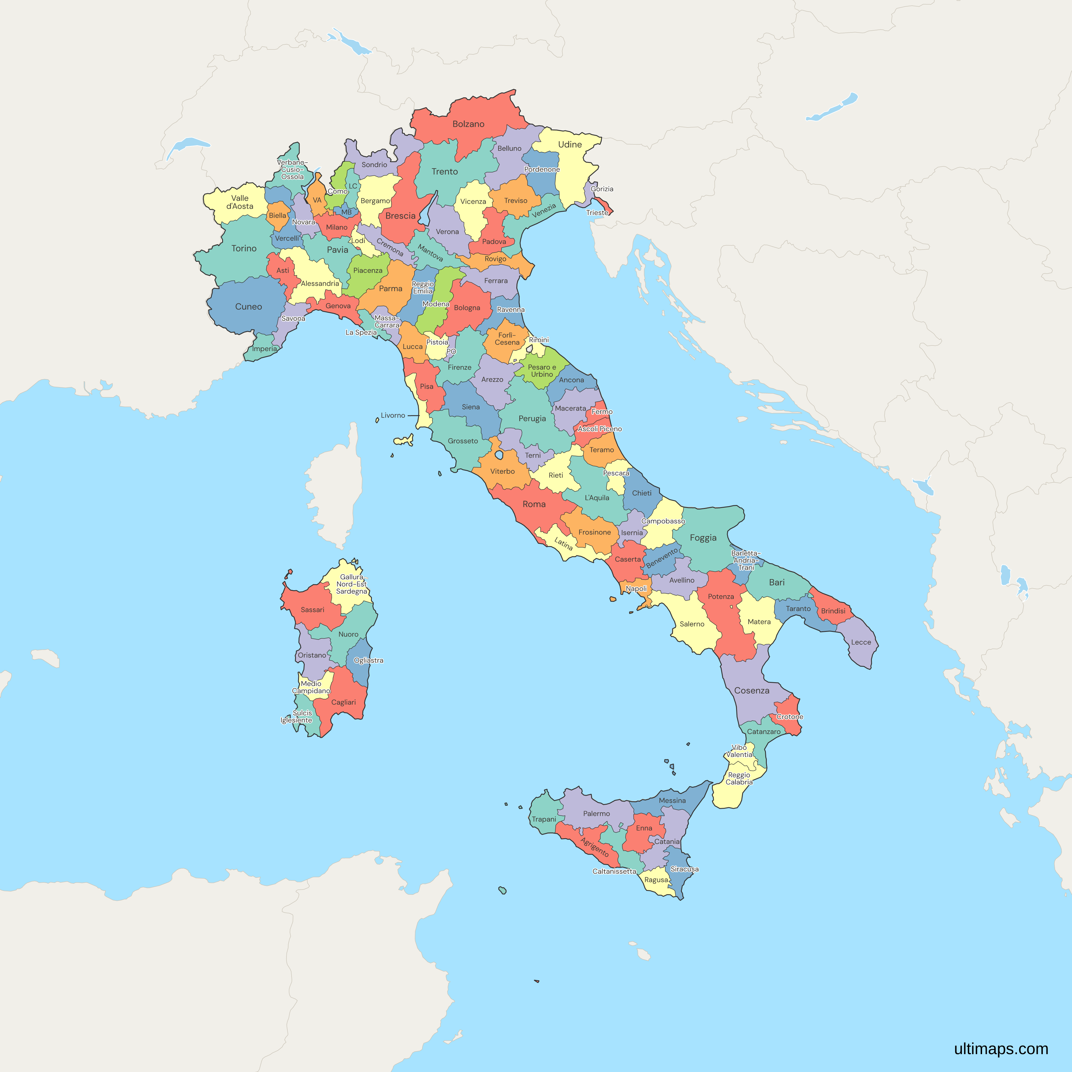
Italy is divided into 110 provinces, serving as the second-tier administrative divisions beneath the country's 20 regions. Use the interactive maps below to explore provinces and their boundaries. Download free maps or learn more about creating a custom map of Italy to visualize your own data.
See also: Map of Italy's Regions
Interactive Map of Italy Provinces
List of Provinces (110)
Italy Provinces: Key Facts
- Total number of provinces: 110
- Largest province by area: South Tyrol (Bolzano) - 7,397.86 square kilometers (2,856.33 square miles)
- Smallest province by area: Prato - 365.66 square kilometers (141.18 square miles)
- Highest population density: Prato - 725 people per square kilometer
- Lowest population density: Potenza - 53 people per square kilometer
Interesting Facts
- Many provinces were established during Italy's unification in 1861.
- Prato and Lecco were created in 1992, marking significant administrative reforms.
Free Downloads
Free for personal and commercial use with a credit to Ultimaps. See the license terms for details.
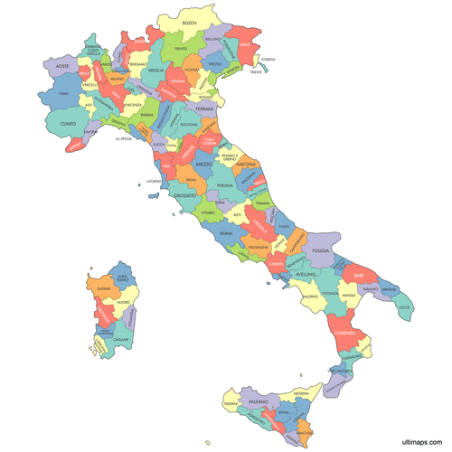 Colored Map of Italy Provincespng899 KB
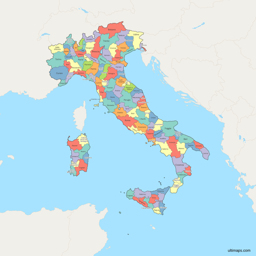 Political Map of Italy with Provincespng1090 KB
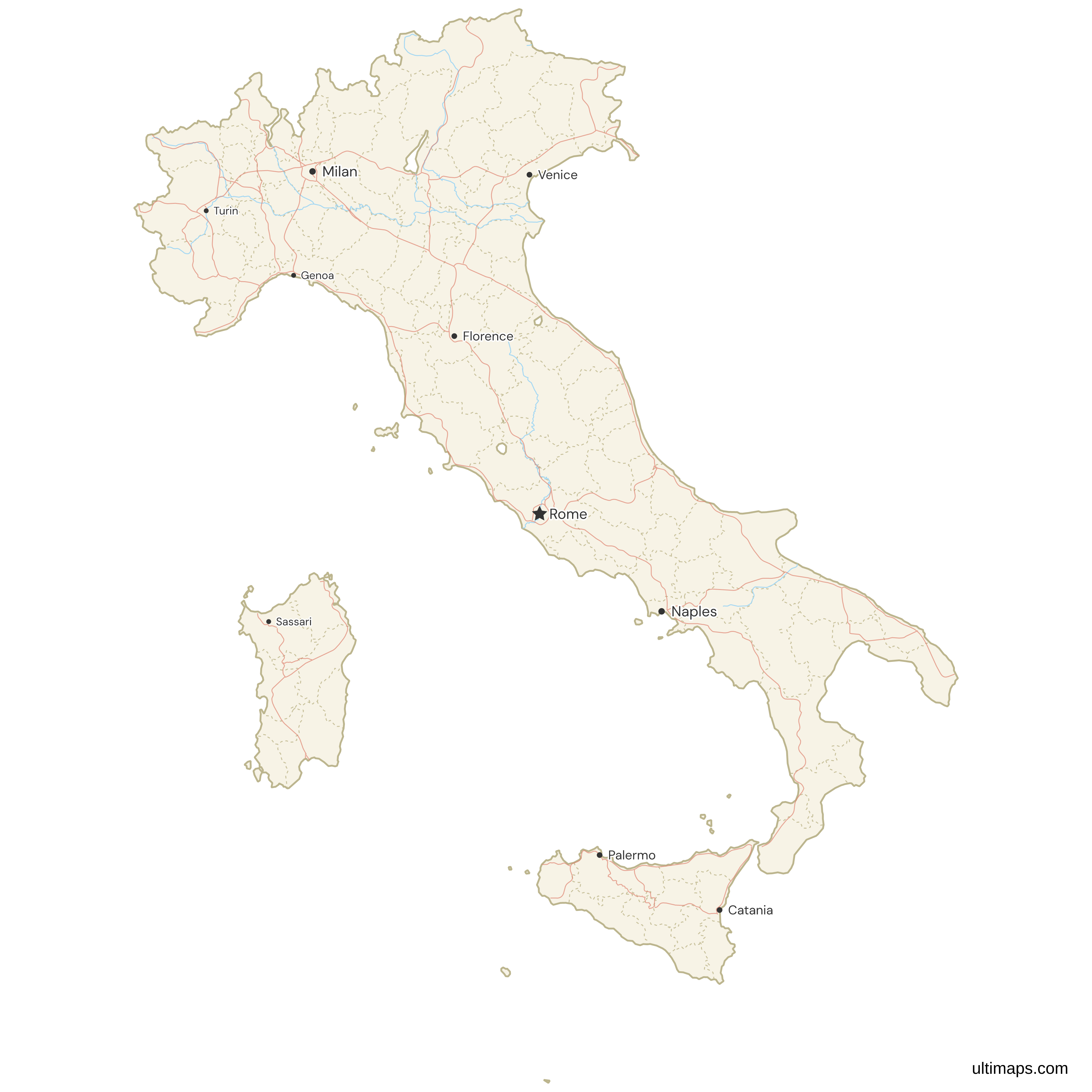
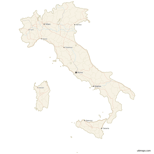 Map of Italy with Cities and Roadspng806 KB
Need it without colors? The blank version of this map comes as a print-ready PDF (A4 and US Letter), a PNG and an editable SVG.
Custom Map Features
This map supports labels.
This map supports surrounding areas, roads, rivers and cities. New
This map is divided into 110 provinces.
Updates
Sep 28, 2023:
- Added map of Italy Provinces
Frequently Asked Questions
Italy is divided into 110 provinces, which are second-tier administrative divisions beneath the country's 20 regions.
The largest province by area in Italy is South Tyrol (Bolzano), covering 7,397.86 square kilometers (2,856.33 square miles).
You can use Ultimaps to create custom maps of Italy. Color-code provinces manually or upload data, place pins, customize look and feel, and export to PNG, PDF, or SVG.