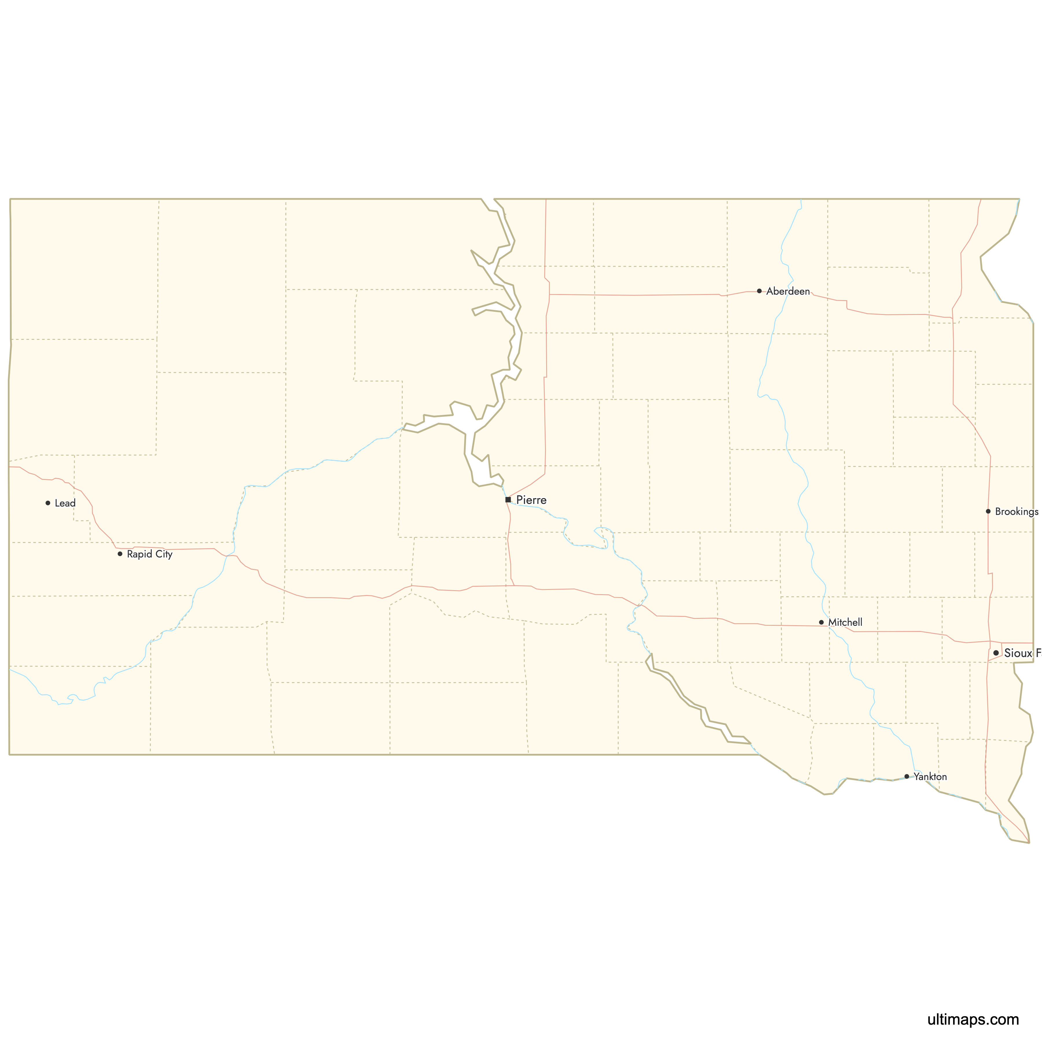
Map of South Dakota Counties
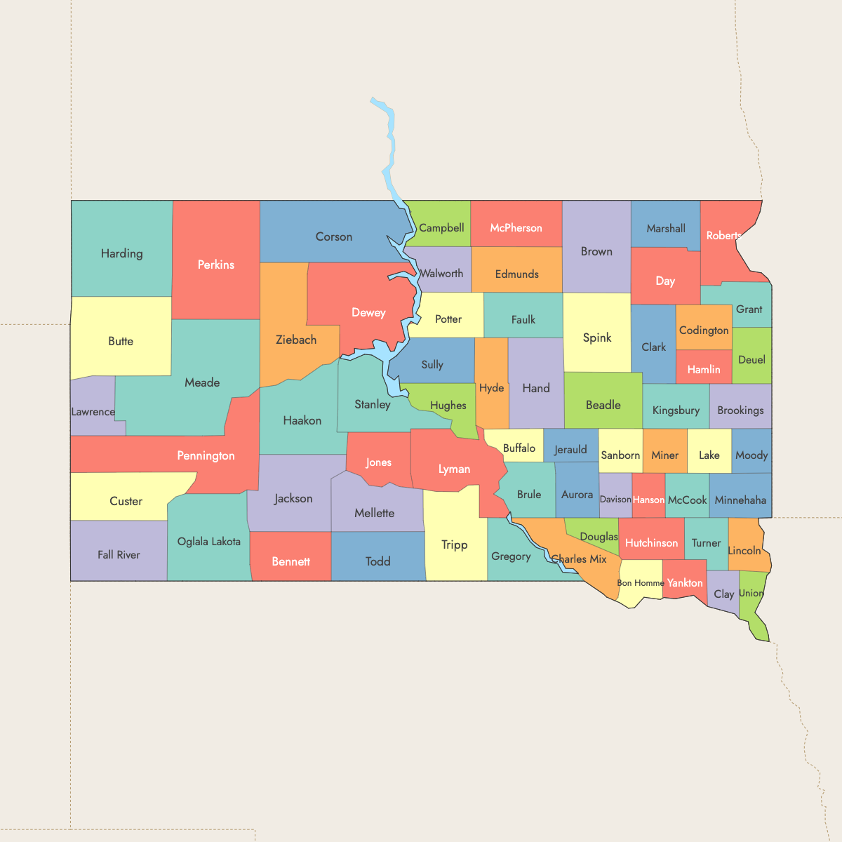
South Dakota is divided into 66 counties. Use the interactive maps below to explore counties and their boundaries. Download free maps or learn more about creating a custom map of South Dakota to visualize your own data.
Interactive Map of South Dakota Counties
List of Counties (66)
| # | County | County seat | Year founded |
|---|---|---|---|
| 1 | Aurora | Plankinton | 1881 |
| 2 | Beadle | Huron | 1879 |
| 3 | Bennett | Martin | 1909 |
| 4 | Bon Homme | Tyndall | 1862 |
| 5 | Brookings | Brookings | 1862 |
| 6 | Brown | Aberdeen | 1879 |
| 7 | Brule | Chamberlain | 1875 |
| 8 | Buffalo | Gann Valley | 1873 |
| 9 | Butte | Belle Fourche | 1883 |
| 10 | Campbell | Mound City | 1873 |
| 11 | Charles Mix | Lake Andes | 1862 |
| 12 | Clark | Clark | 1873 |
| 13 | Clay | Vermillion | 1862 |
| 14 | Codington | Watertown | 1877 |
| 15 | Corson | McIntosh | 1909 |
| 16 | Custer | Custer | 1875 |
| 17 | Davison | Mitchell | 1873 |
| 18 | Day | Webster | 1879 |
| 19 | Deuel | Clear Lake | 1862 |
| 20 | Dewey | Timber Lake | 1873 |
| 21 | Douglas | Armour | 1873 |
| 22 | Edmunds | Ipswich | 1873 |
| 23 | Fall River | Hot Springs | 1883 |
| 24 | Faulk | Faulkton | 1873 |
| 25 | Grant | Milbank | 1873 |
| 26 | Gregory | Burke | 1862 |
| 27 | Haakon | Philip | 1914 |
| 28 | Hamlin | Hayti | 1873 |
| 29 | Hand | Miller | 1873 |
| 30 | Hanson | Alexandria | 1873 |
| 31 | Harding | Buffalo | 1909 |
| 32 | Hughes | Pierre | 1880 |
| 33 | Hutchinson | Olivet | 1862 |
| 34 | Hyde | Highmore | 1873 |
| 35 | Jackson | Kadoka | 1914 |
| 36 | Jerauld | Wessington Springs | 1883 |
| 37 | Jones | Murdo | 1916 |
| 38 | Kingsbury | De Smet | 1873 |
| 39 | Lake | Madison | 1873 |
| 40 | Lawrence | Deadwood | 1875 |
| 41 | Lincoln | Canton | 1867 |
| 42 | Lyman | Kennebec | 1873 |
| 43 | Marshall | Britton | 1885 |
| 44 | McCook | Salem | 1873 |
| 45 | McPherson | Leola | 1873 |
| 46 | Meade | Sturgis | 1889 |
| 47 | Mellette | White River | 1909 |
| 48 | Miner | Howard | 1873 |
| 49 | Minnehaha | Sioux Falls | 1862 |
| 50 | Moody | Flandreau | 1873 |
| 51 | Oglala Lakota | Hot Springs | 1875 |
| 52 | Pennington | Rapid City | 1875 |
| 53 | Perkins | Bison | 1909 |
| 54 | Potter | Gettysburg | 1875 |
| 55 | Roberts | Sisseton | 1883 |
| 56 | Sanborn | Woonsocket | 1883 |
| 57 | Spink | Redfield | 1873 |
| 58 | Stanley | Fort Pierre | 1873 |
| 59 | Sully | Onida | 1873 |
| 60 | Todd | Winner | 1909 |
| 61 | Tripp | Winner | 1873 |
| 62 | Turner | Parker | 1871 |
| 63 | Union | Elk Point | 1862 |
| 64 | Walworth | Selby | 1873 |
| 65 | Yankton | Yankton | 1862 |
| 66 | Ziebach | Dupree | 1911 |
South Dakota Counties: Key Facts
- Total number of counties: 66
- Largest county by area: Meade County - 3,471 square miles (8,989 km²)
- Smallest county by area: Clay County - 504 square miles (1,305 km²)
- Most populous county: Minnehaha County - 208,639 residents
- Least populous county: Jones County - 930 residents
- Major urban centers: Sioux Falls (Minnehaha), Rapid City (Pennington)
- Time zones: Central Time in eastern counties; Mountain Time in western counties
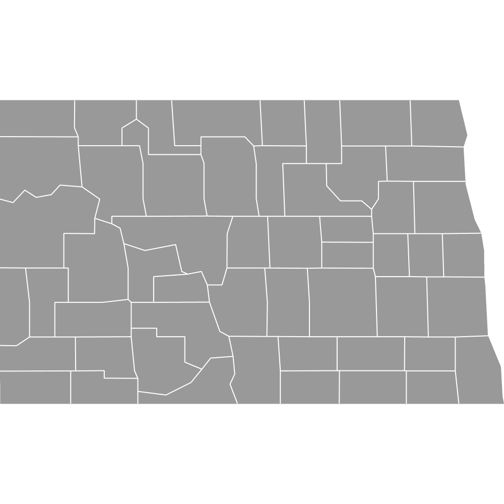
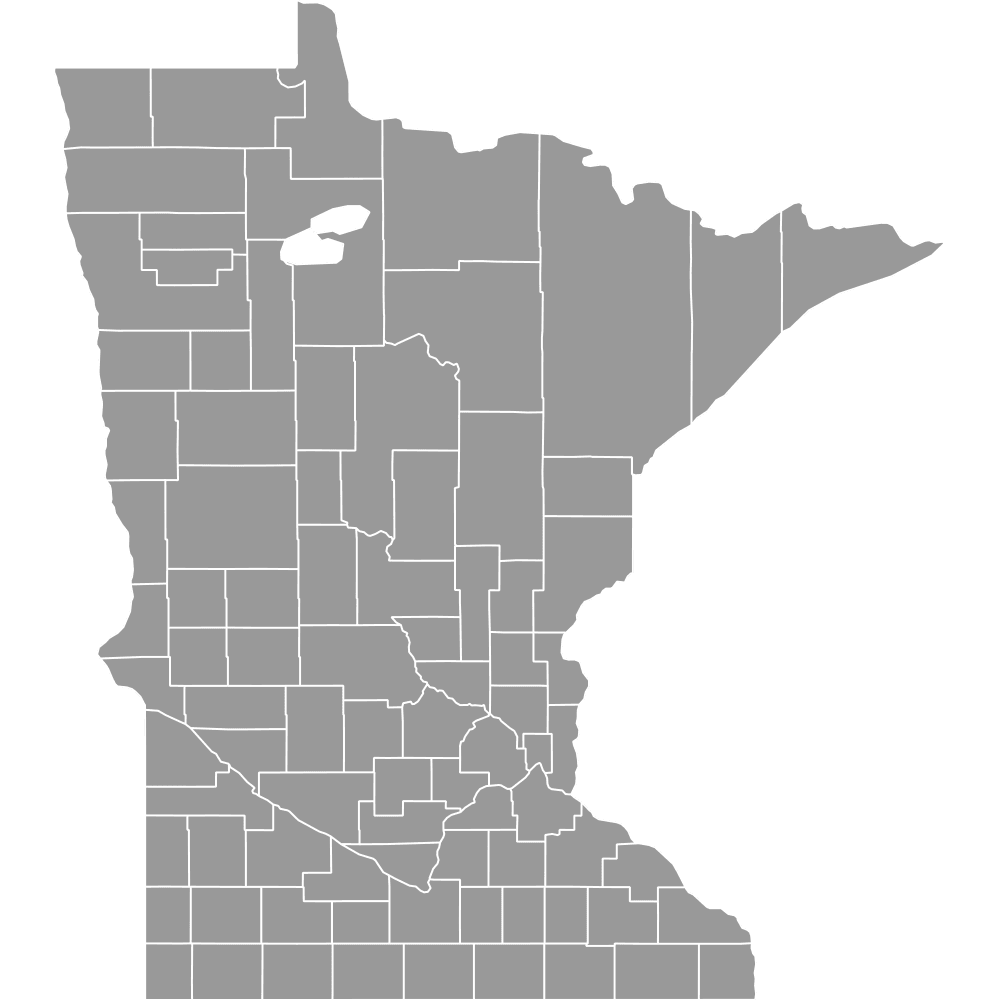
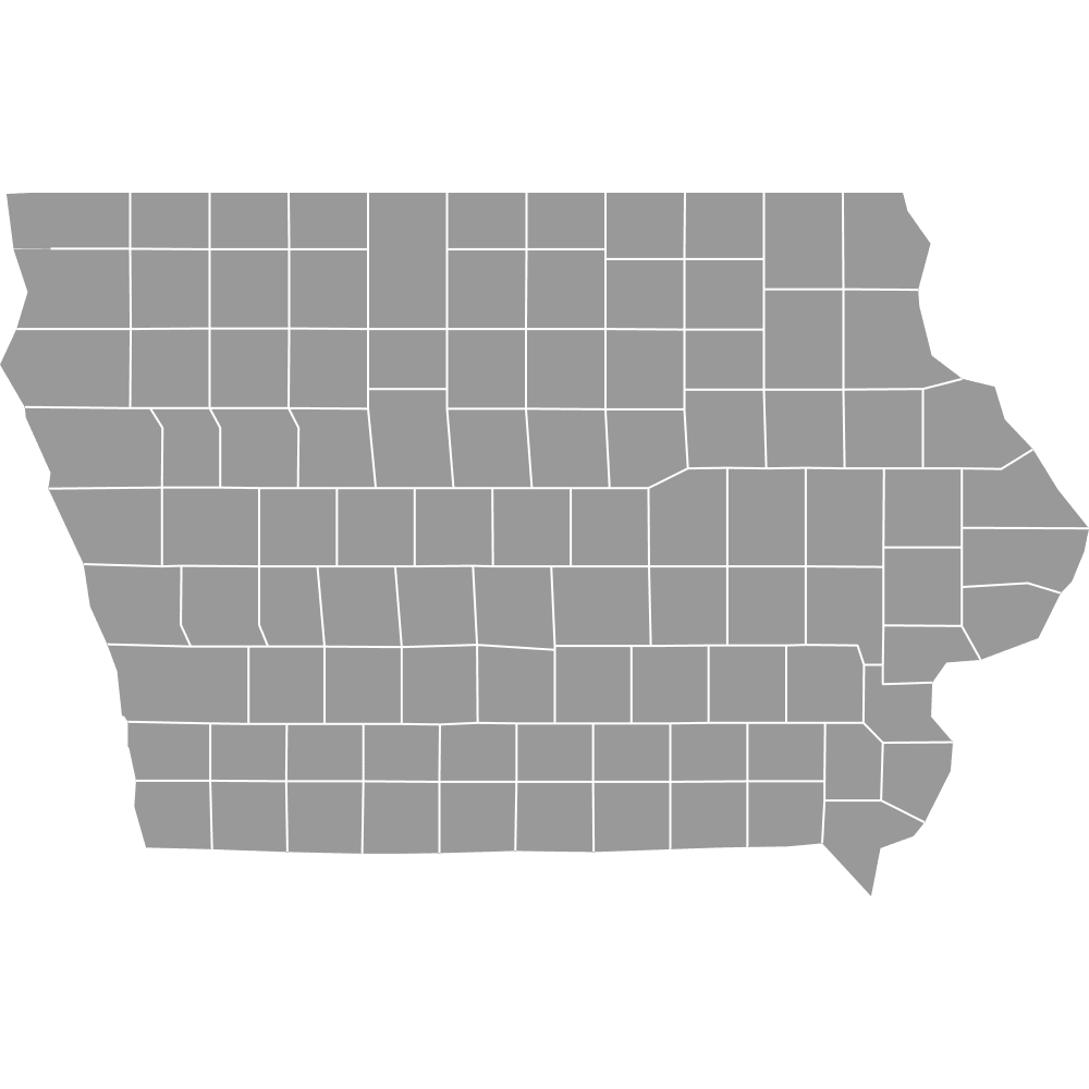
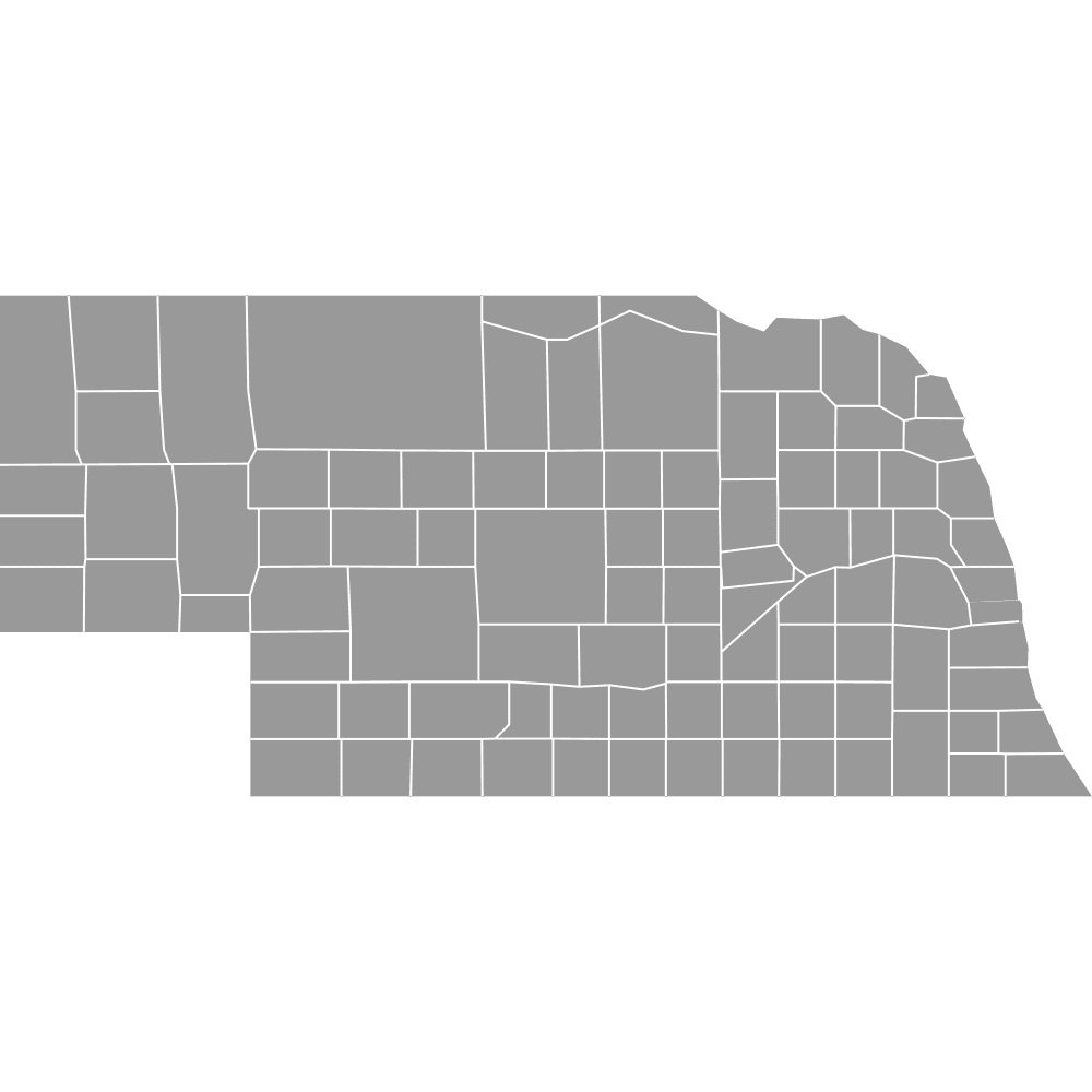
- Bordering states: North Dakota, Minnesota, Iowa, Nebraska, Wyoming, Montana
Interesting Facts
- Counties without an incorporated seat: Todd County and Oglala Lakota County
- Cultural hubs: Pennington County contains Rapid City and is the gateway to Mount Rushmore and the Badlands
- Missouri River influence: The river forms parts of several county boundaries and includes major reservoirs
Free Downloads
Free for personal and commercial use with a credit to Ultimaps. See the license terms for details.
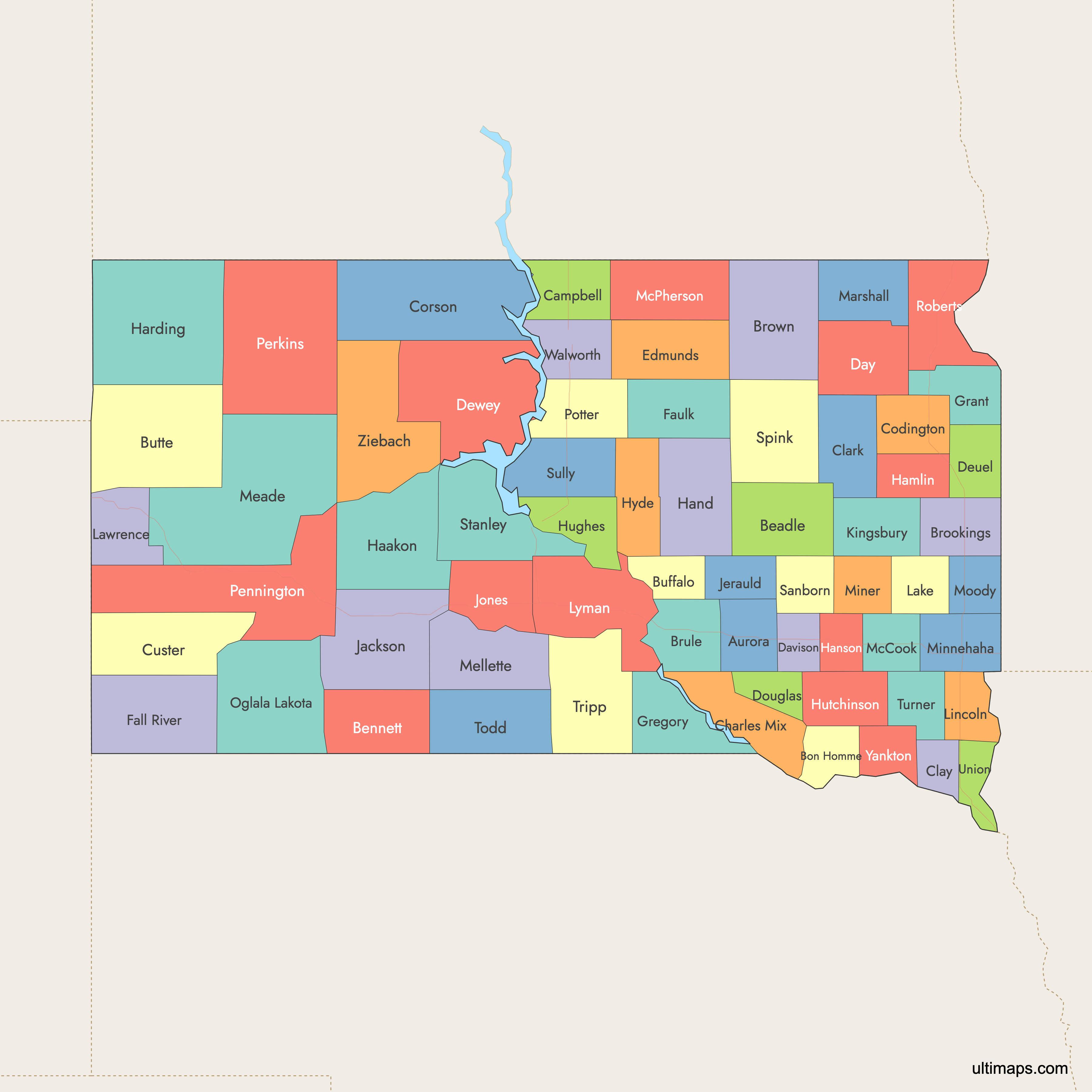
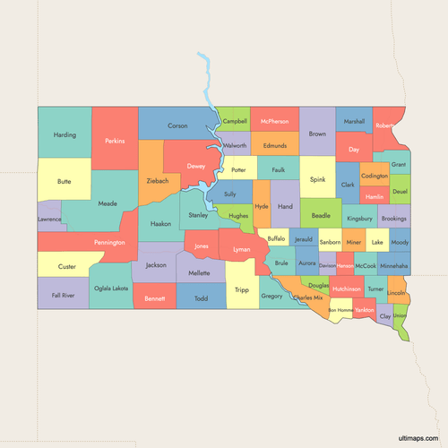 Colored Map of South Dakota Counties with Surrounding Areaspng543 KB
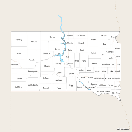 Labeled Map of South Dakota Counties with Surrounding Areaspng527 KB
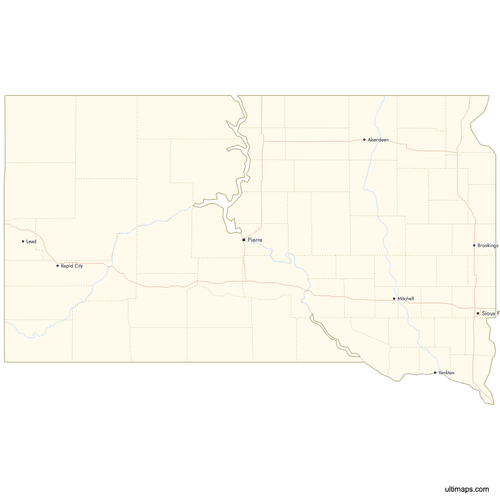 Map of South Dakota Counties with Citiespng476 KB
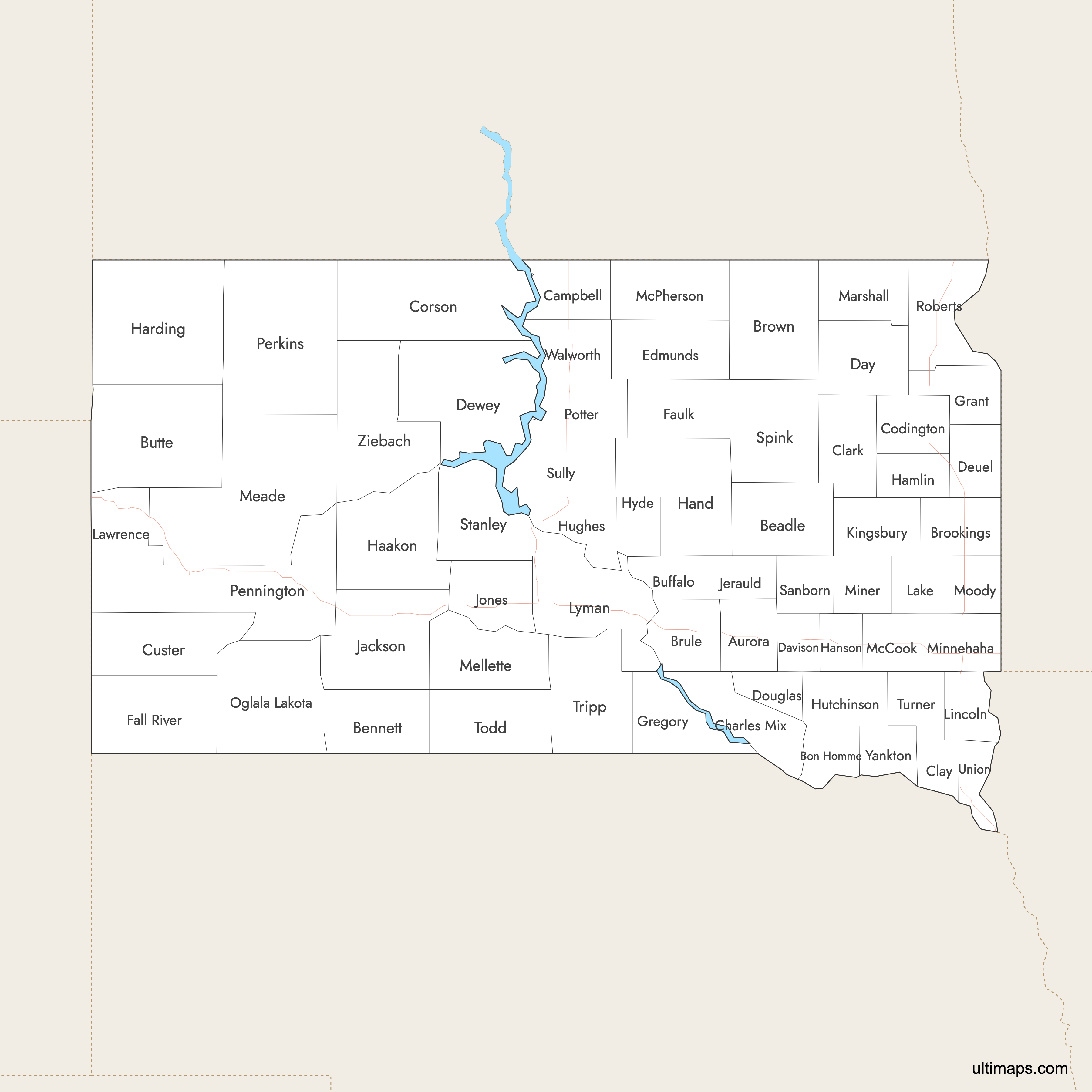
Need it without colors? The blank version of this map comes as a print-ready PDF (A4 and US Letter), a PNG and an editable SVG.
Custom Map Features
This map supports labels.
This map supports surrounding areas, roads, rivers and cities. New
This map is divided into 66 counties.
Updates
Jan 12, 2026:
- Improved map quality
- Added support for surrounding areas and lakes
Aug 26, 2024:
- Added map of South Dakota Counties
Frequently Asked Questions
South Dakota has 66 counties.
The largest is Meade County at 3,471 square miles, while the smallest is Clay County at 504 square miles.
Minnehaha County is the most populous with 208,639 residents, and Jones County is the least populous with 930 residents.
Key cities include Sioux Falls, Rapid City, Aberdeen, Brookings, and Watertown.
Eastern counties are in Central Time, while western counties are in Mountain Time.
You can use Ultimaps to create custom maps of South Dakota. Color-code counties, place pins, customize the look, and export to PNG, PDF, or SVG.