Map of Minnesota Counties
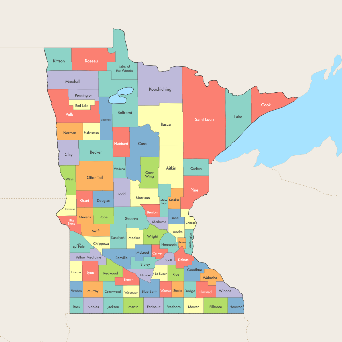
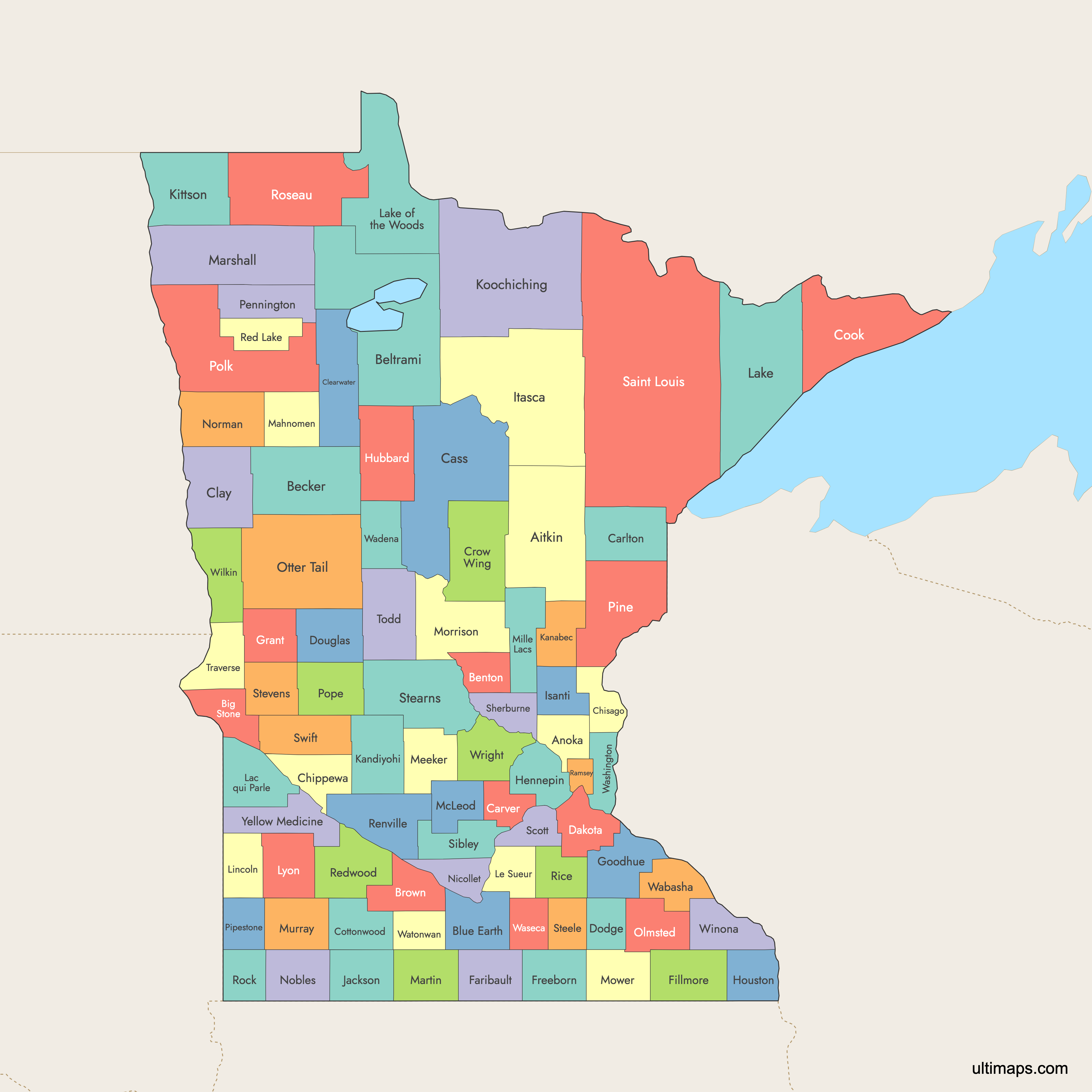
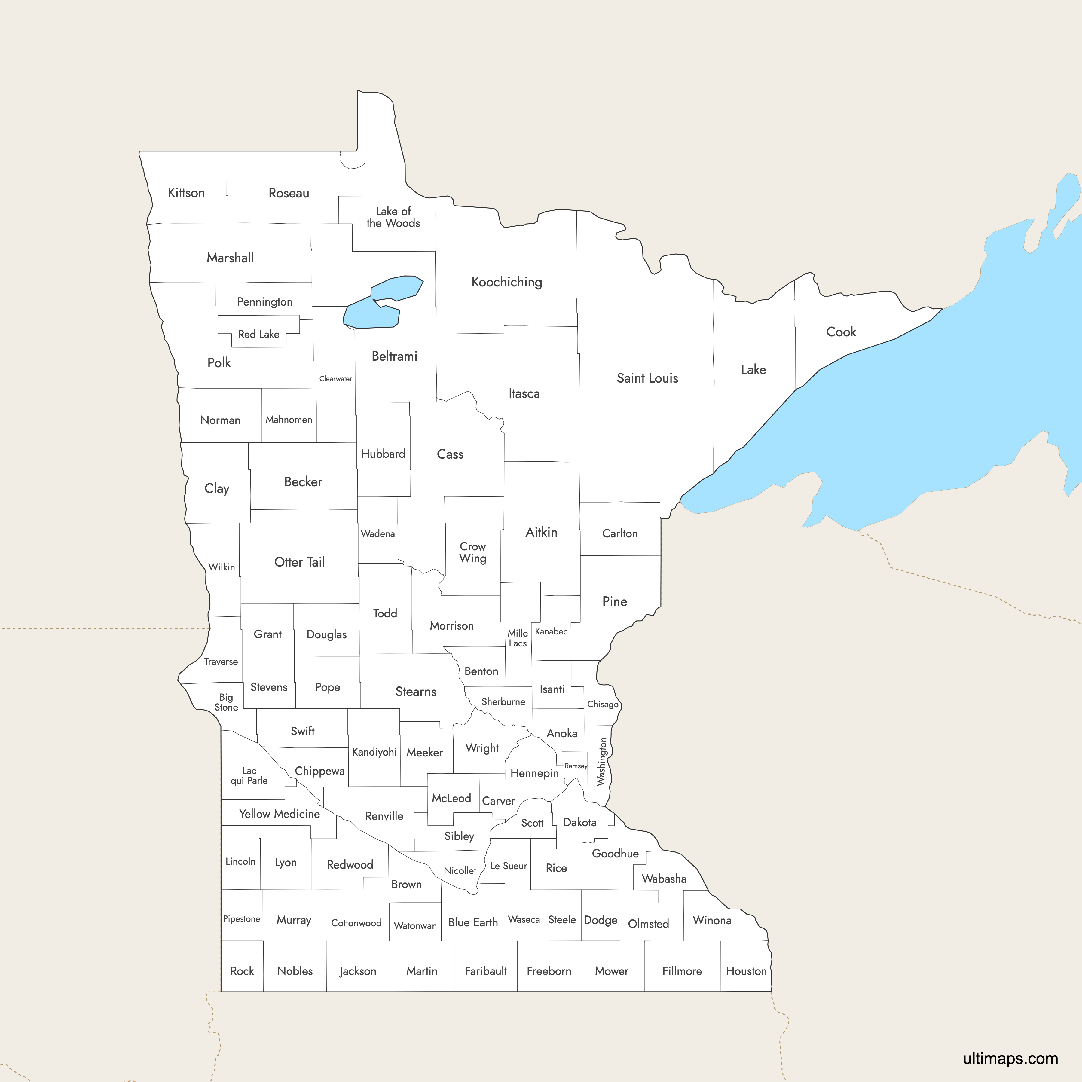
Minnesota is divided into 87 counties, each with its own unique characteristics. Use the interactive maps below to explore counties and their boundaries. Download free maps or learn more about creating a custom map of Minnesota to visualize your own data.
Interactive Map of Minnesota Counties
List of Counties (87)
| # | County |
|---|---|
| 1 | Aitkin |
| 2 | Anoka |
| 3 | Becker |
| 4 | Beltrami |
| 5 | Benton |
| 6 | Big Stone |
| 7 | Blue Earth |
| 8 | Brown |
| 9 | Carlton |
| 10 | Carver |
| 11 | Cass |
| 12 | Chippewa |
| 13 | Chisago |
| 14 | Clay |
| 15 | Clearwater |
| 16 | Cook |
| 17 | Cottonwood |
| 18 | Crow Wing |
| 19 | Dakota |
| 20 | Dodge |
| 21 | Douglas |
| 22 | Faribault |
| 23 | Fillmore |
| 24 | Freeborn |
| 25 | Goodhue |
| 26 | Grant |
| 27 | Hennepin |
| 28 | Houston |
| 29 | Hubbard |
| 30 | Isanti |
| 31 | Itasca |
| 32 | Jackson |
| 33 | Kanabec |
| 34 | Kandiyohi |
| 35 | Kittson |
| 36 | Koochiching |
| 37 | Lac qui Parle |
| 38 | Lake |
| 39 | Lake of the Woods |
| 40 | Le Sueur |
| 41 | Lincoln |
| 42 | Lyon |
| 43 | Mahnomen |
| 44 | Marshall |
| 45 | Martin |
| 46 | McLeod |
| 47 | Meeker |
| 48 | Mille Lacs |
| 49 | Morrison |
| 50 | Mower |
| 51 | Murray |
| 52 | Nicollet |
| 53 | Nobles |
| 54 | Norman |
| 55 | Olmsted |
| 56 | Otter Tail |
| 57 | Pennington |
| 58 | Pine |
| 59 | Pipestone |
| 60 | Polk |
| 61 | Pope |
| 62 | Ramsey |
| 63 | Red Lake |
| 64 | Redwood |
| 65 | Renville |
| 66 | Rice |
| 67 | Rock |
| 68 | Roseau |
| 69 | Saint Louis |
| 70 | Scott |
| 71 | Sherburne |
| 72 | Sibley |
| 73 | Stearns |
| 74 | Steele |
| 75 | Stevens |
| 76 | Swift |
| 77 | Todd |
| 78 | Traverse |
| 79 | Wabasha |
| 80 | Wadena |
| 81 | Waseca |
| 82 | Washington |
| 83 | Watonwan |
| 84 | Wilkin |
| 85 | Winona |
| 86 | Wright |
| 87 | Yellow Medicine |
Minnesota Counties: Key Facts
- Number of counties: 87
- Largest county by area: St. Louis County - 6,225.16 square miles (16,123 km²)
- Smallest county by area: Ramsey County - 152.00 square miles (394 km²)
- Most populous county: Hennepin County (Minneapolis) - 1,281,565 people
- Least populous county: Traverse County - 3,134 people
- Counties with major urban centers: Hennepin (Minneapolis), Ramsey (St. Paul), Olmsted (Rochester)
- Time zone: Central Time Zone (UTC−6, UTC−5 DST)
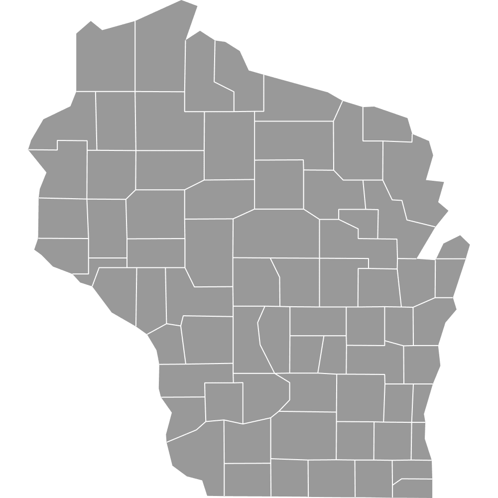
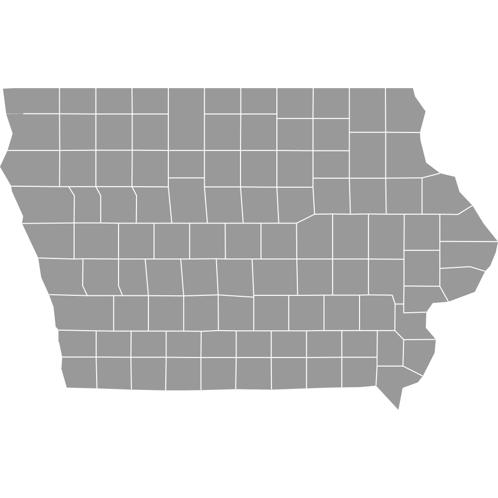
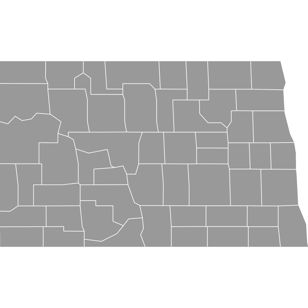
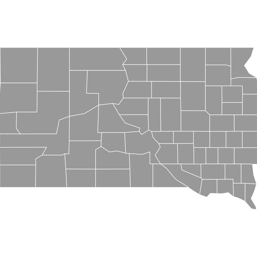
- Bordering states: North Dakota, South Dakota, Iowa, Wisconsin
Interesting Facts
- Largest U.S. county east of the Mississippi River: St. Louis County
- Very small but dense county: Ramsey County is the smallest by area but second most populous
- Original 9 counties (1849): Established on October 27, 1849, including Wabasha County
Free Downloads
Free for personal and commercial use with a credit to Ultimaps. See the license terms for details.
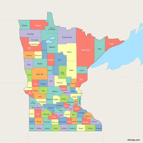 Colored Map of Minnesota Counties with Surrounding Areaspng656 KB
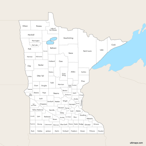 Labeled Map of Minnesota Counties with Surrounding Areaspng632 KB
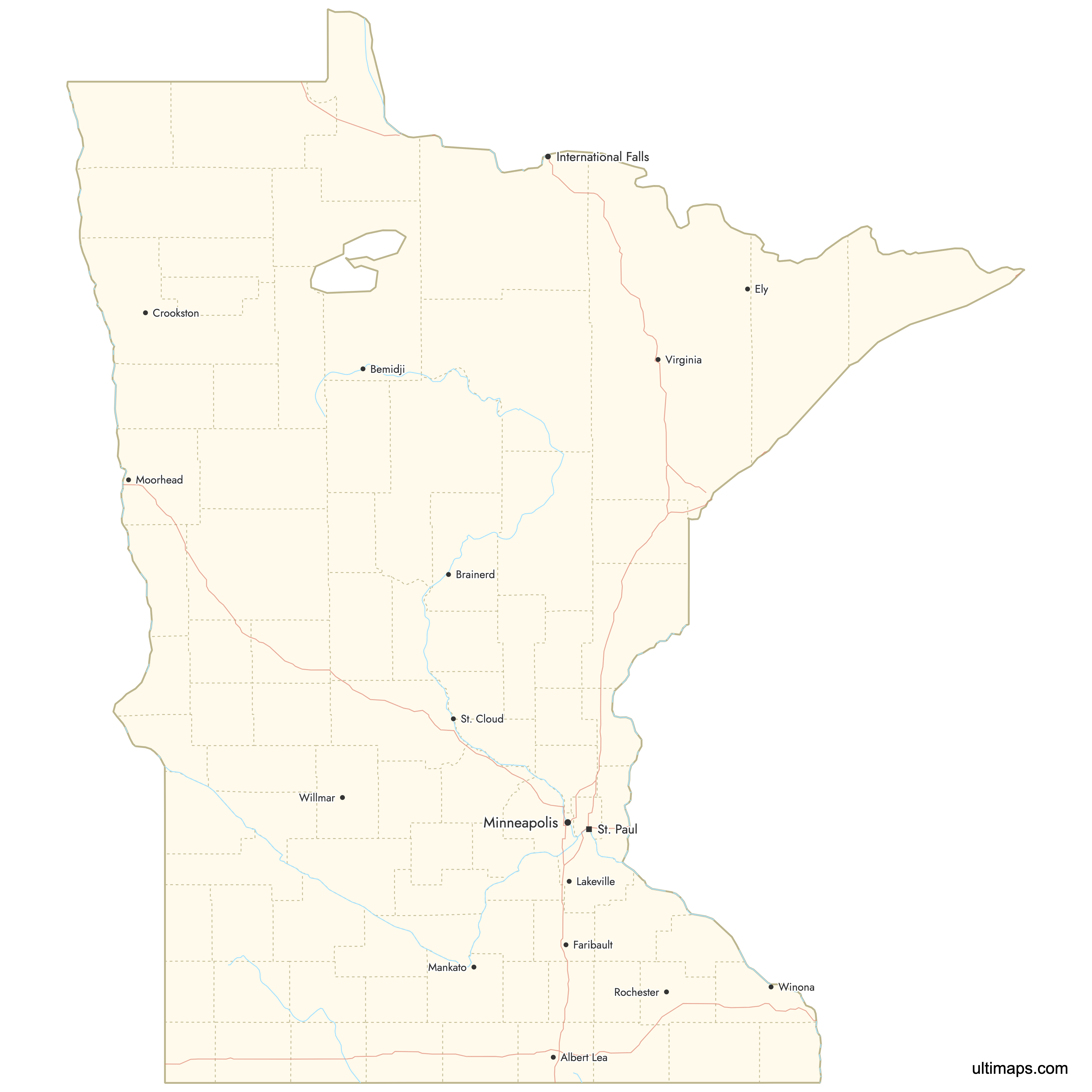
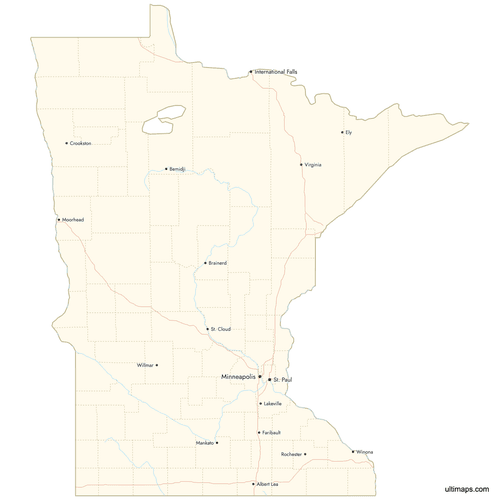 Map of Minnesota Counties with Citiespng637 KB
Need it without colors? The blank version of this map comes as a print-ready PDF (A4 and US Letter), a PNG and an editable SVG.
Custom Map Features
This map supports labels.
This map supports surrounding areas, roads, rivers and cities. New
This map is divided into 87 counties.
Updates
Oct 2, 2025:
- Improved map quality
- Added support for surrounding areas and lakes
Aug 26, 2024:
- Added map of Minnesota Counties
Frequently Asked Questions
Minnesota has 87 counties.
The largest county by area in Minnesota is St. Louis County with an area of 6,225.16 square miles (16,123 km²).
The smallest county by area is Ramsey County, with an area of 152.00 square miles (394 km²).
Hennepin County has the highest population in Minnesota, with 1,281,565 residents.
The least populous county is Traverse County, with a population of 3,134.
Minnesota's neighboring states are Iowa, North Dakota, South Dakota, and Wisconsin.
You can use Ultimaps to create custom maps of Minnesota. Color-code counties manually or upload data, place pins, customize look and feel, and export to PNG, PDF, or SVG.