Map of Nebraska Counties
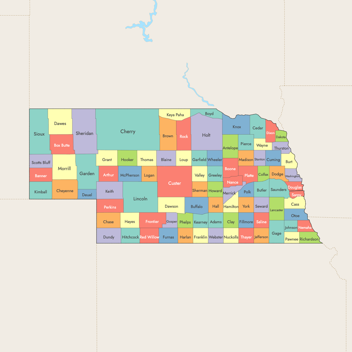
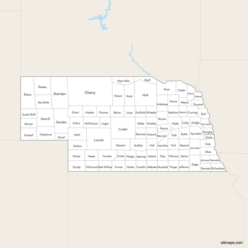
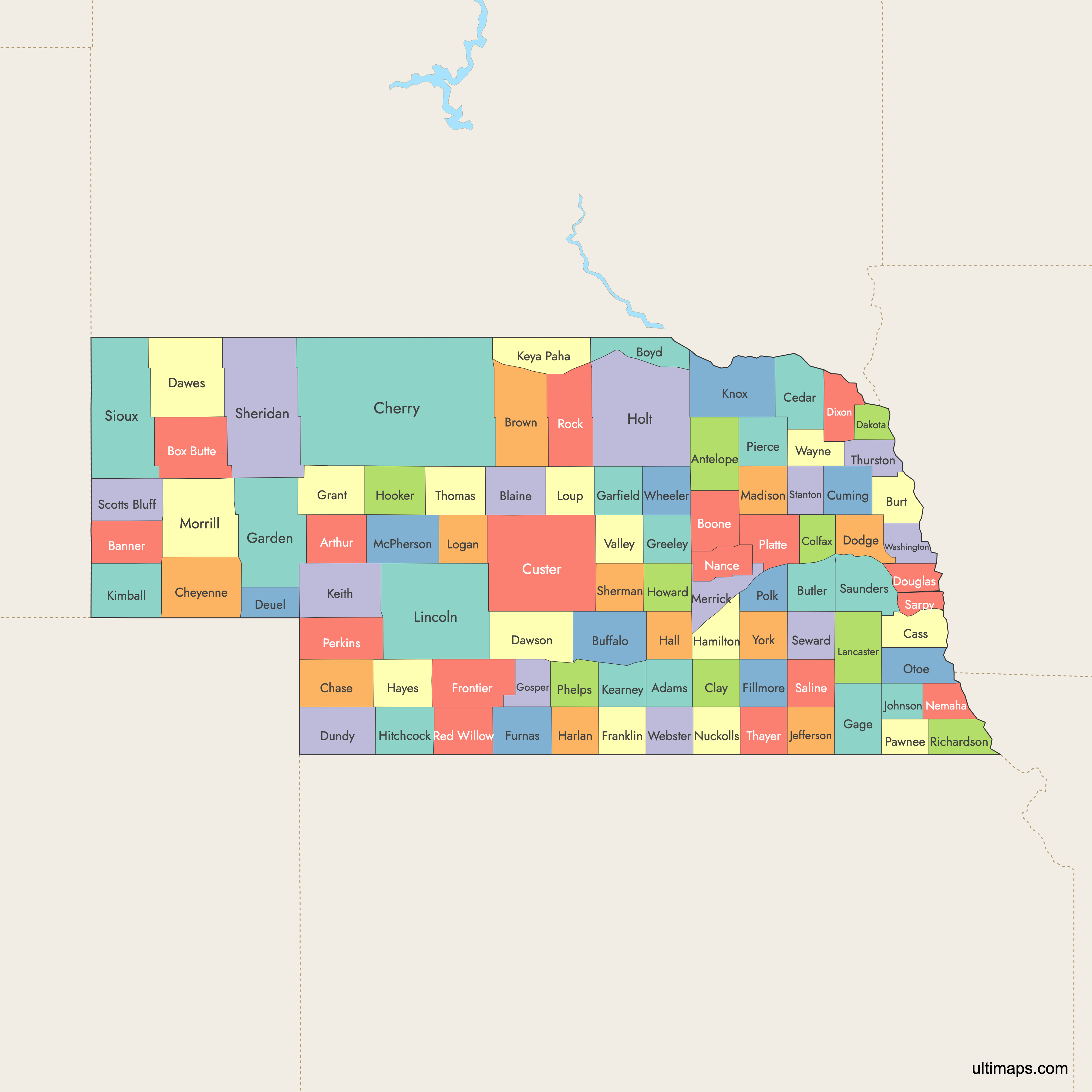
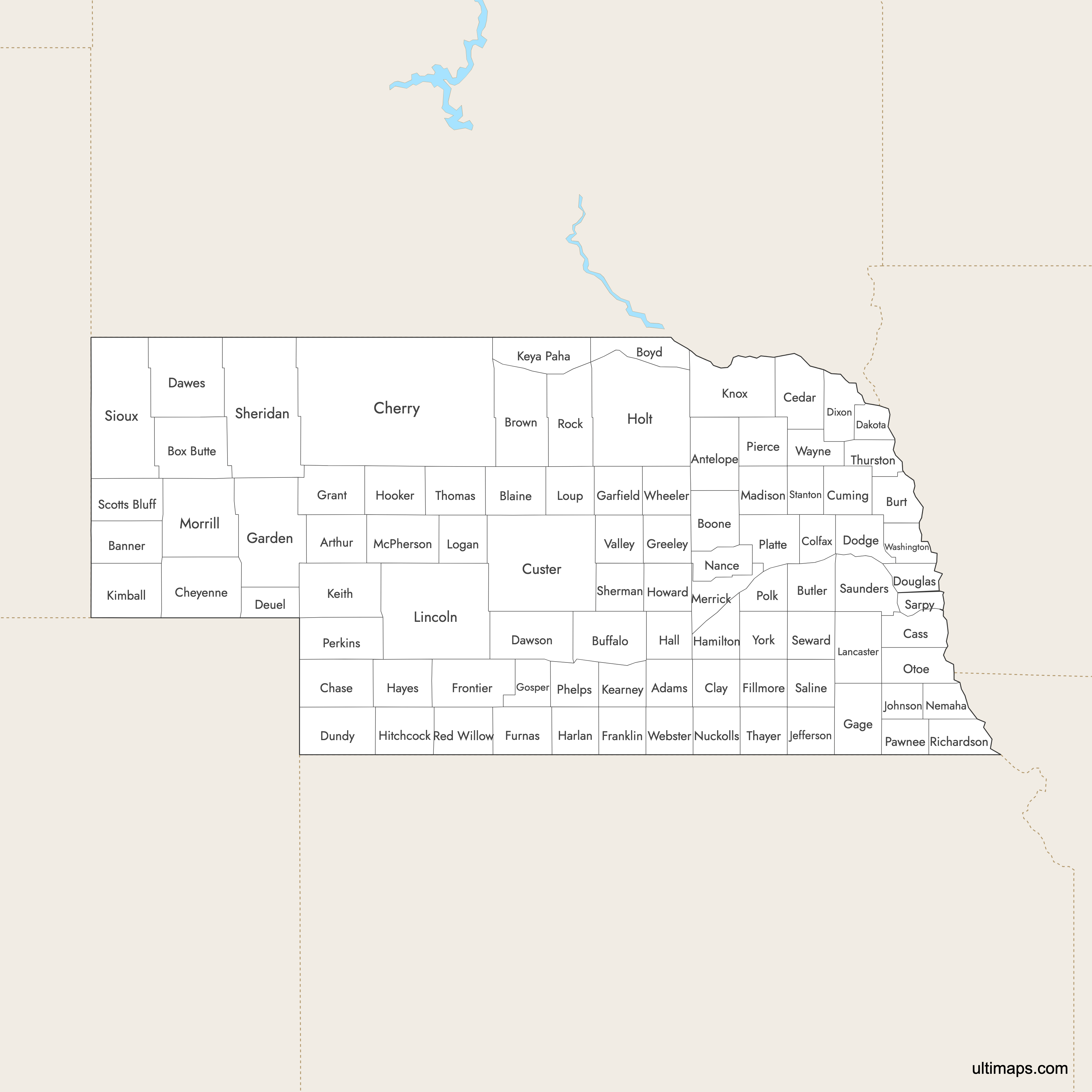
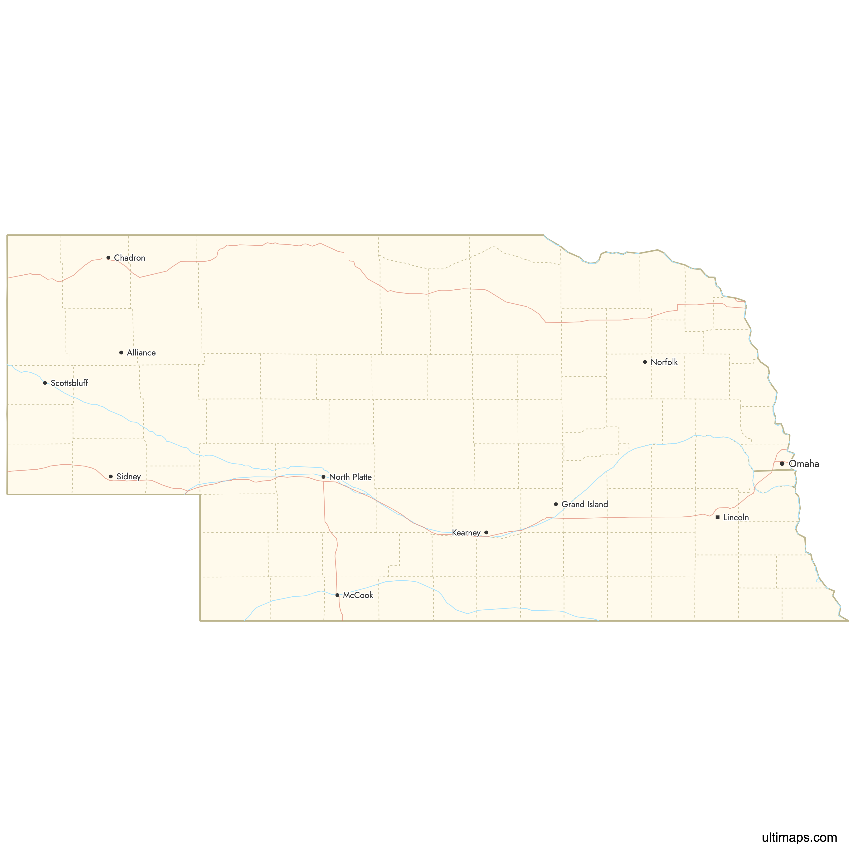
Nebraska is divided into 93 counties, each serving as an administrative region of the state. Use the interactive maps below to explore counties and their boundaries. Download free maps or learn more about creating a custom map of Nebraska to visualize your own data.
Interactive Map of Nebraska Counties
List of Counties (93)
| # | County | County seat | Year founded |
|---|---|---|---|
| 1 | Adams | Hastings | 1867 |
| 2 | Antelope | Neligh | 1871 |
| 3 | Arthur | Arthur | 1887 |
| 4 | Banner | Harrisburg | 1888 |
| 5 | Blaine | Brewster | 1885 |
| 6 | Boone | Albion | 1871 |
| 7 | Box Butte | Alliance | 1887 |
| 8 | Boyd | Butte | 1891 |
| 9 | Brown | Ainsworth | 1883 |
| 10 | Buffalo | Kearney | 1870 |
| 11 | Burt | Tekamah | 1854 |
| 12 | Butler | David City | 1856 |
| 13 | Cass | Plattsmouth | 1854 |
| 14 | Cedar | Hartington | 1857 |
| 15 | Chase | Imperial | 1886 |
| 16 | Cherry | Valentine | 1883 |
| 17 | Cheyenne | Sidney | 1867 |
| 18 | Clay | Clay Center | 1856 |
| 19 | Colfax | Schuyler | 1869 |
| 20 | Cuming | West Point | 1855 |
| 21 | Custer | Broken Bow | 1877 |
| 22 | Dakota | Dakota City | 1856 |
| 23 | Dawes | Chadron | 1885 |
| 24 | Dawson | Lexington | 1860 |
| 25 | Deuel | Chappell | 1889 |
| 26 | Dixon | Ponca | 1856 |
| 27 | Dodge | Fremont | 1856 |
| 28 | Douglas | Omaha | 1854 |
| 29 | Dundy | Benkelman | 1873 |
| 30 | Fillmore | Geneva | 1871 |
| 31 | Franklin | Franklin | 1867 |
| 32 | Frontier | Stockville | 1872 |
| 33 | Furnas | Beaver City | 1873 |
| 34 | Gage | Beatrice | 1855 |
| 35 | Garden | Oshkosh | 1909 |
| 36 | Garfield | Burwell | 1884 |
| 37 | Gosper | Elwood | 1873 |
| 38 | Grant | Hyannis | 1888 |
| 39 | Greeley | Greeley | 1871 |
| 40 | Hall | Grand Island | 1858 |
| 41 | Hamilton | Aurora | 1867 |
| 42 | Harlan | Alma | 1871 |
| 43 | Hayes | Hayes Center | 1877 |
| 44 | Hitchcock | Trenton | 1873 |
| 45 | Holt | O'Neill | 1860 |
| 46 | Hooker | Mullen | 1889 |
| 47 | Howard | St. Paul | 1871 |
| 48 | Jefferson | Fairbury | 1856 |
| 49 | Johnson | Tecumseh | 1856 |
| 50 | Kearney | Minden | 1860 |
| 51 | Keith | Ogallala | 1873 |
| 52 | Keya Paha | Springview | 1884 |
| 53 | Kimball | Kimball | 1888 |
| 54 | Knox | Center | 1857 |
| 55 | Lancaster | Lincoln | 1854 |
| 56 | Lincoln | North Platte | 1866 |
| 57 | Logan | Stapleton | 1885 |
| 58 | Loup | Taylor | 1883 |
| 59 | Madison | Madison | 1856 |
| 60 | McPherson | Tryon | 1887 |
| 61 | Merrick | Central City | 1858 |
| 62 | Morrill | Bridgeport | 1908 |
| 63 | Nance | Fullerton | 1879 |
| 64 | Nemaha | Auburn | 1856 |
| 65 | Nuckolls | Nelson | 1860 |
| 66 | Otoe | Nebraska City | 1854 |
| 67 | Pawnee | Pawnee City | 1854 |
| 68 | Perkins | Grant | 1887 |
| 69 | Phelps | Holdrege | 1873 |
| 70 | Pierce | Pierce | 1859 |
| 71 | Platte | Columbus | 1856 |
| 72 | Polk | Osceola | 1856 |
| 73 | Red Willow | McCook | 1873 |
| 74 | Richardson | Falls City | 1854 |
| 75 | Rock | Bassett | 1888 |
| 76 | Saline | Wilber | 1867 |
| 77 | Sarpy | Papillion | 1857 |
| 78 | Saunders | Wahoo | 1856 |
| 79 | Scotts Bluff | Gering | 1888 |
| 80 | Seward | Seward | 1867 |
| 81 | Sheridan | Rushville | 1885 |
| 82 | Sherman | Loup City | 1871 |
| 83 | Sioux | Harrison | 1877 |
| 84 | Stanton | Stanton | 1856 |
| 85 | Thayer | Hebron | 1871 |
| 86 | Thomas | Thedford | 1887 |
| 87 | Thurston | Pender | 1889 |
| 88 | Valley | Ord | 1871 |
| 89 | Washington | Blair | 1854 |
| 90 | Wayne | Wayne | 1867 |
| 91 | Webster | Red Cloud | 1871 |
| 92 | Wheeler | Bartlett | 1877 |
| 93 | York | York | 1855 |
Nebraska Counties: Key Facts
- Total number of counties: 93
- Most populous county: Douglas County (Omaha)
- Least populous county: Arthur County
- Largest county by land area: Cherry County - 5,961 square miles (15,443 km²)
- Smallest by area: Arthur County - 715 square miles (1,851 km²)
- Counties with major urban centers: Douglas (Omaha), Lancaster (Lincoln), Hall (Grand Island)
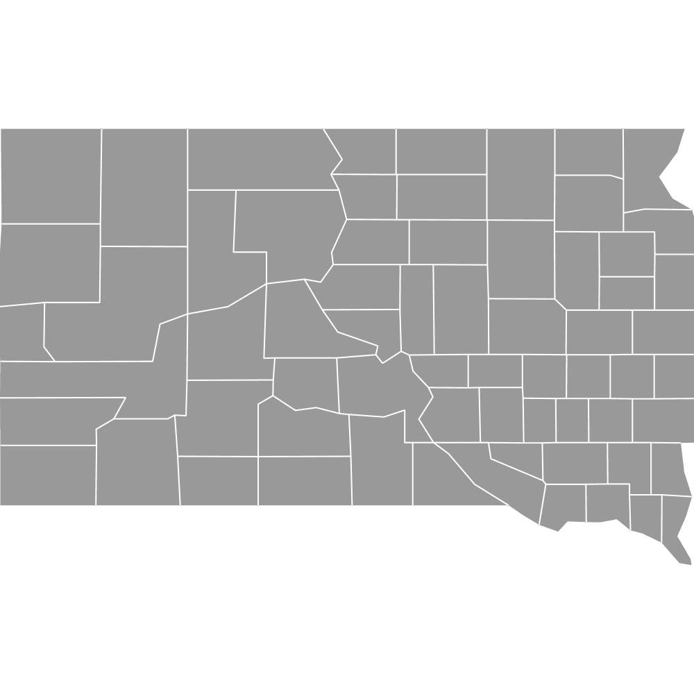
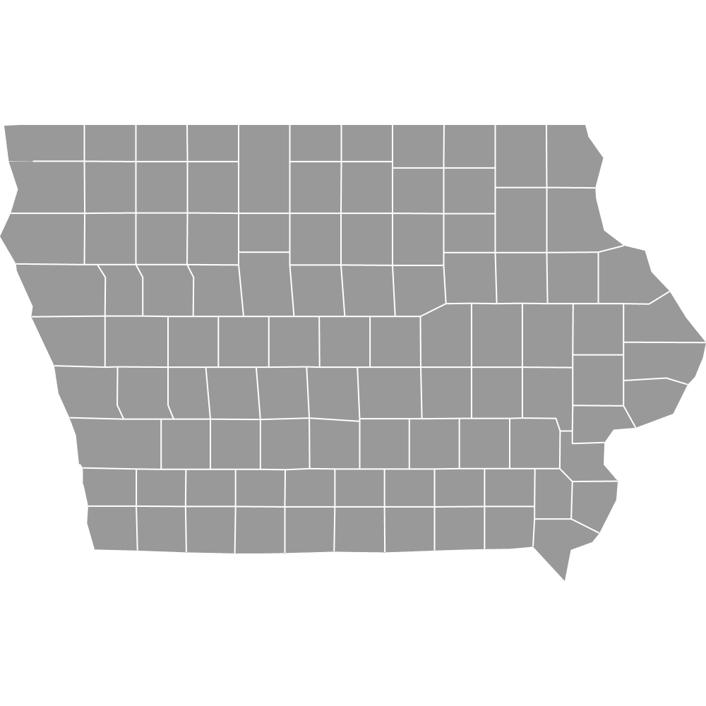
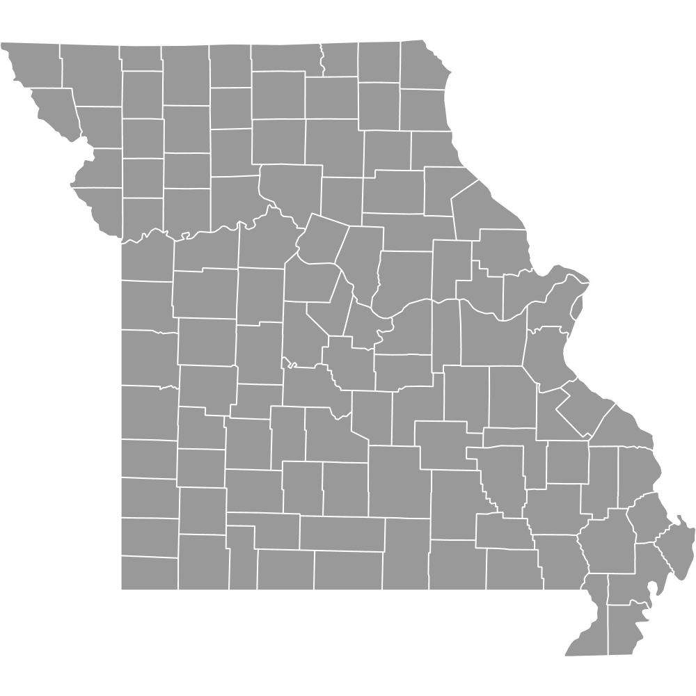
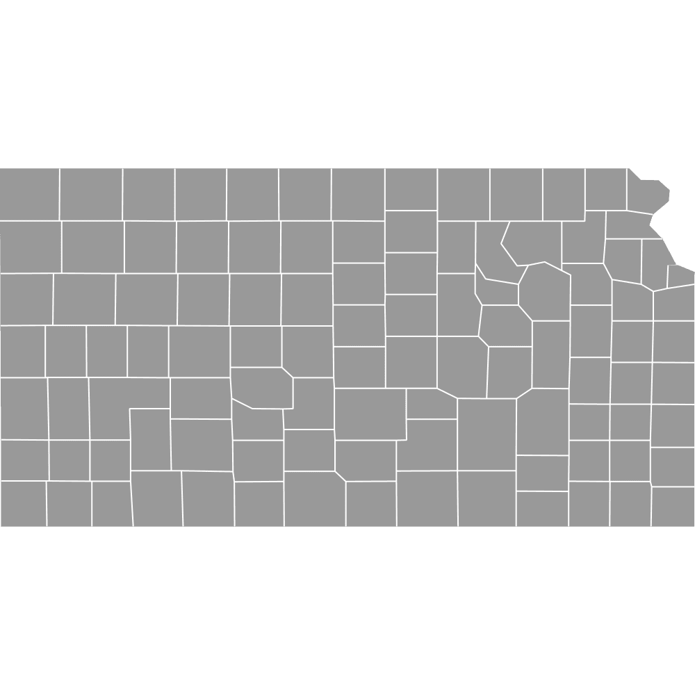
- Neighboring states: South Dakota, Iowa, Missouri, Kansas, Colorado, Wyoming
- Time zones: Central Time for most counties; Mountain Time in western panhandle counties
Interesting Facts
- Nebraska's counties were mainly formed between 1854 and 1880, with final boundaries set by 1913.
- Northern counties were influenced by the 1875 Black Hills Gold Rush.
- The 2011 Nebraska Legislature map reflects boundaries stable since statehood in 1867.
- Nebraska is unique for having all counties named after individuals.
- O'Neill in Holt County is celebrated as the "Irish Capital of Nebraska."
Free Downloads
Free for personal and commercial use with a credit to Ultimaps. See the license terms for details.
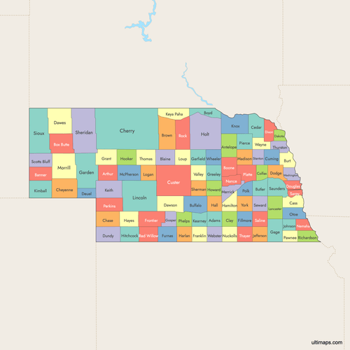 Colored Map of Nebraska Counties with Surrounding Areaspng534 KB
 Labeled Map of Nebraska Counties with Surrounding Areaspng501 KB
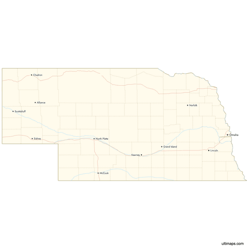 Map of Nebraska Counties with Citiespng408 KB
Need it without colors? The blank version of this map comes as a print-ready PDF (A4 and US Letter), a PNG and an editable SVG.
Custom Map Features
This map supports labels.
This map supports surrounding areas, roads, rivers and cities. New
This map is divided into 93 counties.
Updates
Feb 2, 2026:
- Improved map quality
- Added support for surrounding areas and lakes
Aug 26, 2024:
- Added map of Nebraska Counties
Frequently Asked Questions
Nebraska has exactly 93 counties, listed alphabetically from Adams to York; this structure has been consistent since the early 1900s, covering 77,354 square miles total.
Cherry County is the largest at 5,961 square miles (15,443 square kilometers), located in the northern Sandhills with seat Valentine on the Niobrara River.
Arthur County is the smallest by land area at 715 square miles (1,851 square kilometers), with seat Arthur; it is a remote Sandhills county.
Douglas County, seat Omaha, is the most populous, housing over 500,000 residents as of recent estimates; it dominates the eastern Missouri River border with Iowa.
Omaha is the seat and largest city of Douglas County in eastern Nebraska, at the Missouri River border with Iowa.
You can use Ultimaps to create custom maps of Nebraska. Color-code counties manually or upload data, place pins, customize look and feel and export to PNG, PDF or SVG.