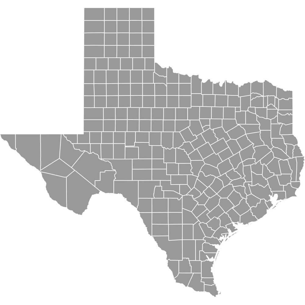
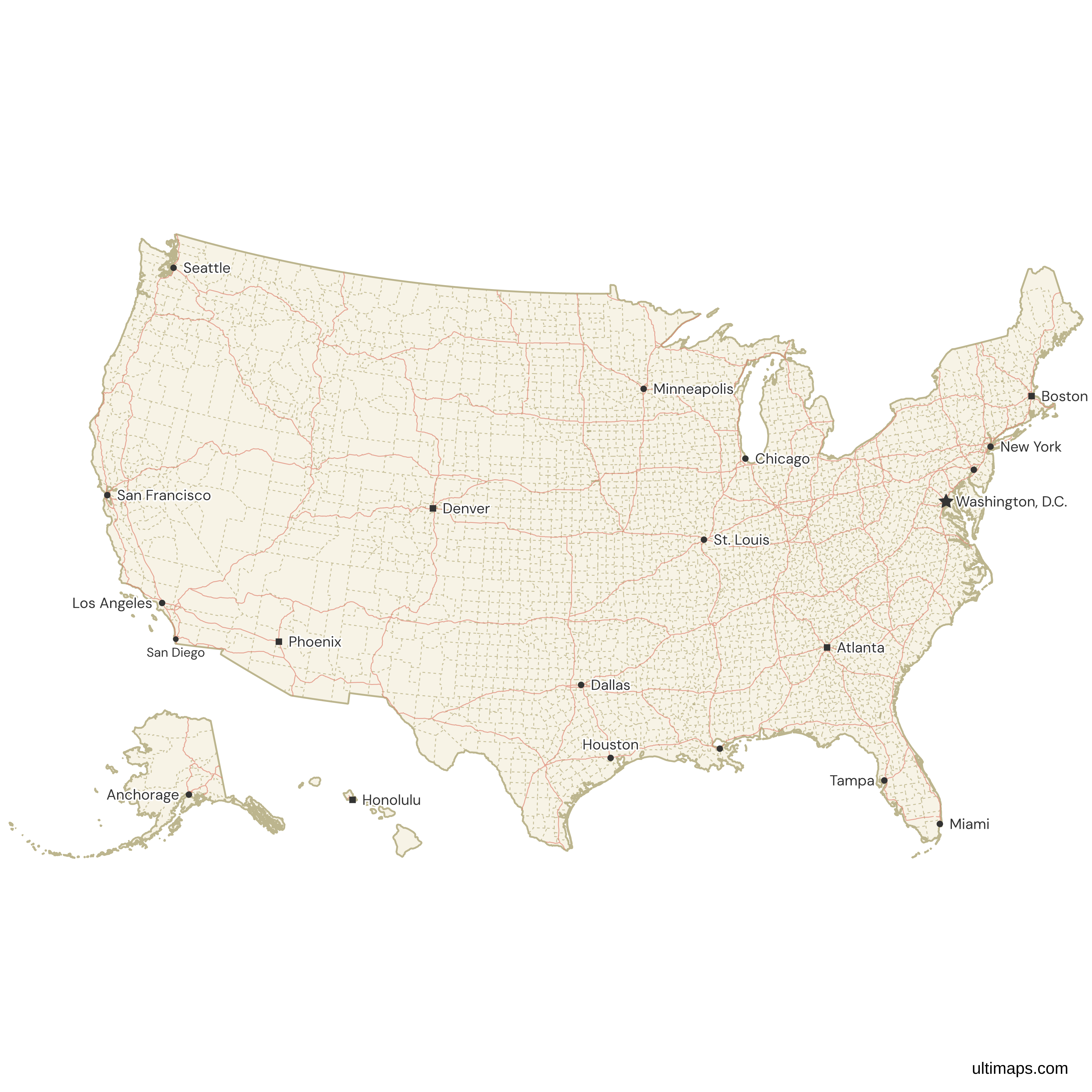
Map of the United States Counties
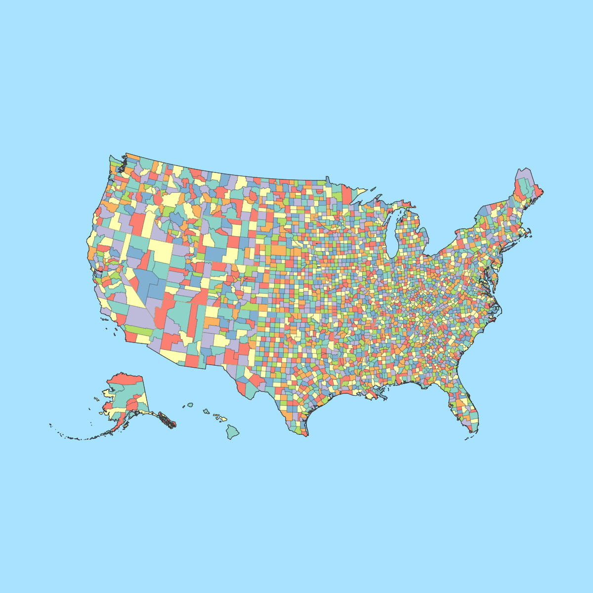
The United States is divided into 3,143 counties and county-equivalents across 50 states and the District of Columbia. These range from Los Angeles County, California, with over 10 million residents, to Loving County, Texas, with just 64 people. Counties serve as the primary administrative subdivisions for local government, elections, law enforcement, and public services. Use the interactive maps below to explore all U.S. counties and their boundaries. Download free maps or learn more about creating a custom map of United States counties to visualize your own data.
Note: this version of the US map features lower 48 states, Alaska, Hawaii and D.C. divided by counties. Check out Map of United States for the version divided by states.
Interactive Map of the United States Counties
List of Counties (3143)
United States Counties: Key Facts
- Total number of counties: 3,143 counties and county-equivalents across the 50 states and the District of Columbia, including 3,007 counties, 64 Louisiana parishes, 19 organized boroughs and 11 census areas in Alaska, 41 independent cities, and the District of Columbia. With U.S. territories such as Puerto Rico and the U.S. Virgin Islands, the broader total exceeds 3,200.
- Most populous county: Los Angeles County, California, with 10,014,009 people (2020 Census). It contains the city of Los Angeles.
- Least populous county: Loving County, Texas, with just 64 people (2020 Census).
- Largest county by area: San Bernardino County, California, at 19,969 square miles (51,700 km²).
- Smallest county by area: Falls Church, Virginia (independent city), at 1.999 square miles (5.177 km²). The smallest traditional county is Kalawao County, Hawaii, at 11.991 square miles (31.058 km²).
- Counties with major urban centers: Los Angeles County, CA (Los Angeles); Cook County, IL (Chicago); Harris County, TX (Houston); Maricopa County, AZ (Phoenix); San Diego County, CA (San Diego).
- Capital: Washington, D.C. (District of Columbia), which functions as a county-equivalent.
- Borders: Canada to the north, Mexico to the south, the Pacific Ocean to the west, the Atlantic Ocean to the east, the Arctic Ocean to the northwest (via Alaska), and the Gulf of Mexico to the southeast.
- Time zones: 6 time zones total. The mainland spans Eastern, Central, Mountain, and Pacific. Alaska uses Alaska Time, and Hawaii uses Hawaii-Aleutian Time.
- Most recent boundary change: Broomfield County, Colorado, established in 2001 as a consolidated city-county, is the newest county in the United States.
Interesting Facts
- Not all states call their subdivisions "counties." Louisiana uses parishes (64 total), and Alaska uses boroughs and census areas instead of counties.
- Texas has the most counties of any state at 254, while Delaware has the fewest with just 3.
- The average state has 62 counties, but the range is enormous, from Delaware's 3 to Texas's 254.
- There are 40 consolidated city-counties in the U.S., including San Francisco, CA; Philadelphia, PA; Denver, CO; and Nashville-Davidson, TN, where city and county governments have merged into one.
- New York City alone spans 5 counties: New York (Manhattan), Kings (Brooklyn), Queens, Bronx, and Richmond (Staten Island).
Free Downloads
Free for personal and commercial use with a credit to Ultimaps. See the license terms for details.
 Colored Map of the United States Countiespng2312 KB
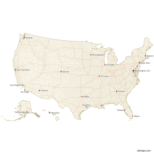 Map of the United States Counties with Cities and Roadspng1793 KB
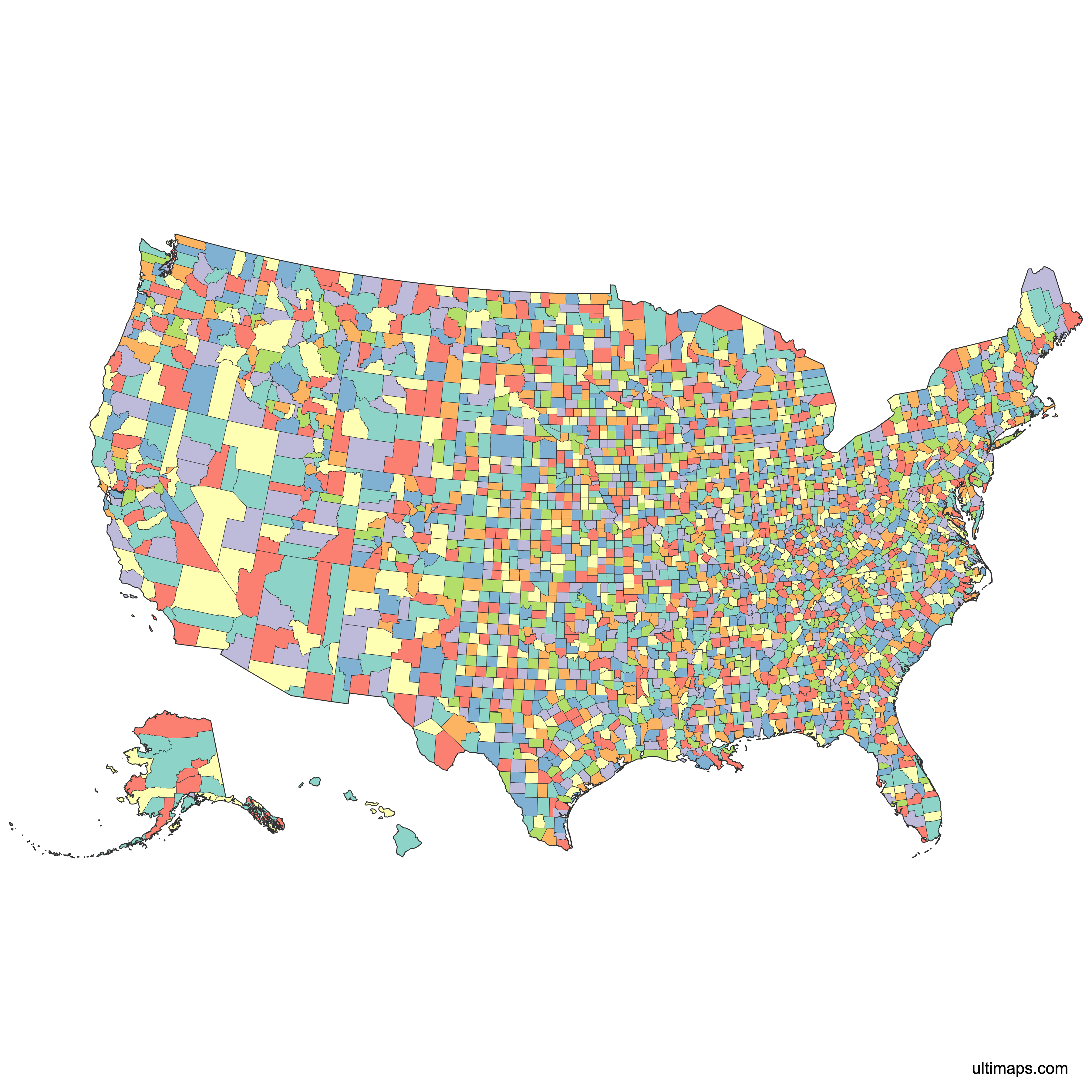
Need it without colors? The blank version of this map comes as a print-ready PDF (A4 and US Letter), a PNG and an editable SVG.
Custom Map Features
This map supports labels.
This map is divided into 3143 counties.
Updates
Aug 26, 2024:
- Added map of United States — Counties Counties
Frequently Asked Questions
The United States has 3,143 counties and county-equivalents across the 50 states and the District of Columbia. This total includes 3,007 traditional counties (Connecticut is counted with 8 counties), 64 Louisiana parishes, 19 organized boroughs and 11 census areas in Alaska, 41 independent cities, and D.C. itself. Including U.S. territories such as Puerto Rico and the U.S. Virgin Islands, the broader total exceeds 3,200.
San Bernardino County, California, is the largest county by area at 19,969 square miles (51,700 km²). It is larger than several entire U.S. states, including New Jersey, Connecticut, Delaware, and Rhode Island combined.
The smallest county-equivalent by area is Falls Church, Virginia, an independent city covering just 1.999 square miles (5.177 km²). The smallest traditional county is Kalawao County, Hawaii, at 11.991 square miles (31.058 km²), located on the island of Molokai.
Los Angeles County, California, is the most populous county with 10,014,009 residents according to the 2020 Census. It contains the city of Los Angeles and dozens of other municipalities. By contrast, the least populous county is Loving County, Texas, with only 64 people.
Texas has the most counties of any U.S. state with 254. Delaware has the fewest at just 3. The national average is about 62 counties per state, but the range varies widely based on each state's size and history.
The Statue of Liberty is in New York County, NY. The Grand Canyon sits within Coconino County and Mohave County, AZ. Mount Rushmore is in Pennington County, SD. The Golden Gate Bridge is in the City and County of San Francisco, CA. Yellowstone National Park spans Park County and Teton County in Wyoming, with portions extending into Montana and Idaho.
Louisiana uses the term "parishes" instead of counties due to its French and Spanish colonial heritage, where Catholic Church parishes served as the basis for local governance. Louisiana has 64 parishes, which function identically to counties in other states. Similarly, Alaska uses boroughs and census areas rather than counties.
A consolidated city-county is a jurisdiction where a city and county government have merged into a single entity. There are 40 consolidated city-counties in the United States, including San Francisco, CA; Philadelphia, PA; Denver, CO; and Nashville-Davidson, TN. The newest is Broomfield County, Colorado, established in 2001.
You can use Ultimaps to create custom maps of the United States counties. Color-code counties manually or upload your data, place pins, customize the look and feel, and export to PNG, PDF, or SVG. No sign-up required.