Map of the United States with Puerto Rico and Territories
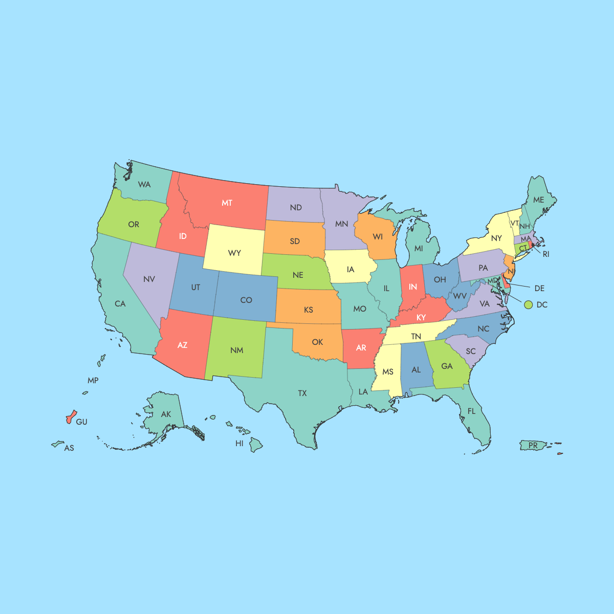
Along with 50 states, one federal district, the United States has various outlying territories, both inhabited and uninhabited. These regions span across the Caribbean Sea and the Pacific Ocean, each playing a crucial role in U.S. governance and defense. Use the interactive maps below to explore these areas and their boundaries. Download maps or customize your own to visualize and present your data.
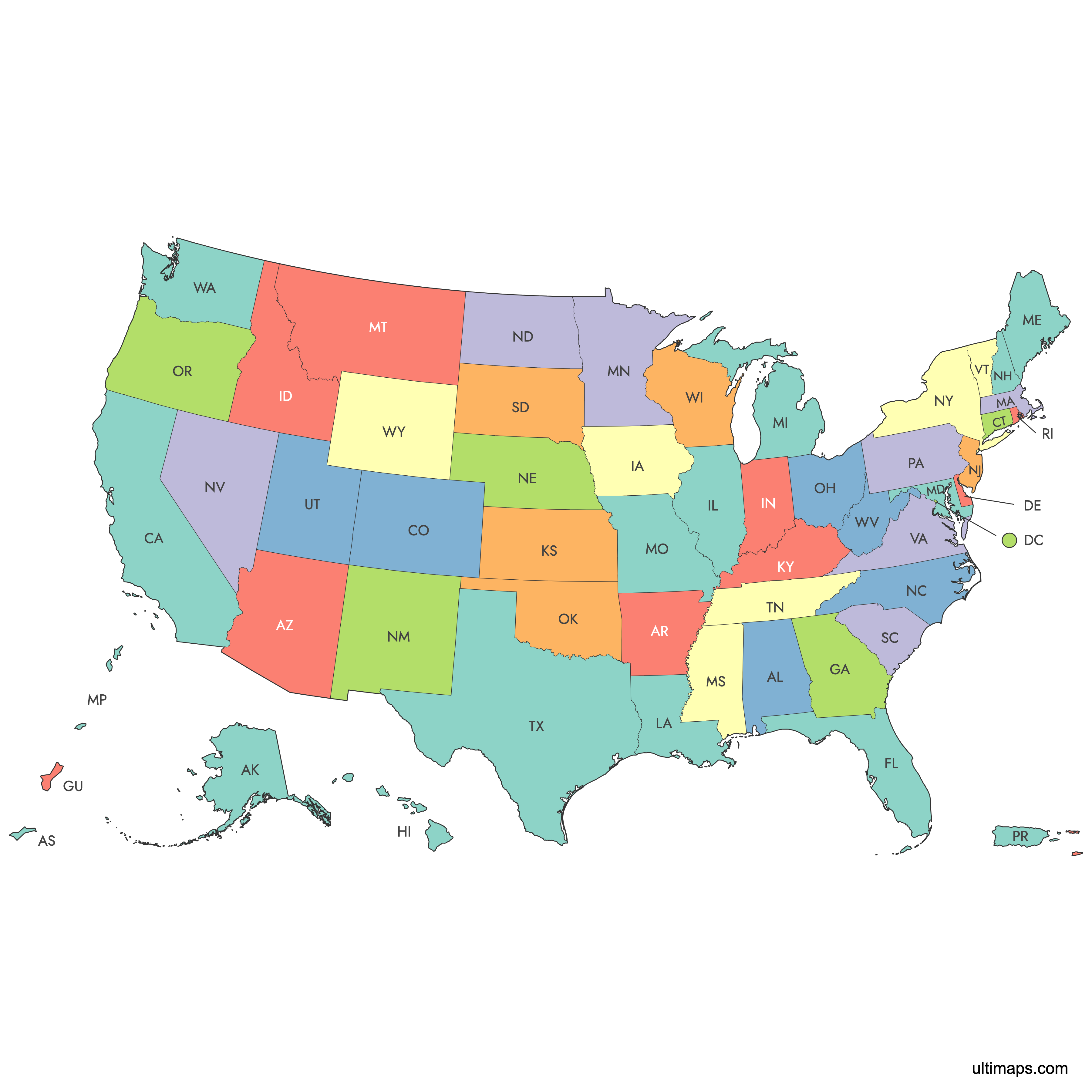
Note: this version of the US map features lower 48 states, Alaska, Hawaii, D.C. and 5 permanently inhabited territories. Check out Map of United States for the version without outlying territories.
Interactive Map of the United States with Puerto Rico and Territories
List of States (56)
United States Territories: Key Facts
- Regions: 5 inhabited territories, 9 uninhabited territories, and minor disputed territories.
- Largest U.S. Territory by Area: Puerto Rico (3,515 square miles / 9,104 km²).
- Most Populous U.S. Territory: Puerto Rico (about 3.2 million residents).
- Smallest U.S. Territory by Area: Kingman Reef (less than 1 km², mostly submerged).
- Least Populous Territory: Most uninhabited territories have a population of zero.
- Significant Urban Centers: San Juan, Puerto Rico; Dededo, Guam; Charlotte Amalie, U.S. Virgin Islands; Saipan, Northern Mariana Islands; Pago Pago, American Samoa.
- Timezones: From Atlantic Standard Time (Puerto Rico, U.S. Virgin Islands) to Chamorro Standard Time (Guam, Northern Mariana Islands), and Samoa Standard Time (American Samoa).
- Neighboring Countries and Waters: Caribbean territories near the Dominican Republic and Haiti; Pacific territories near Japan and the Philippines.
Free Downloads
Free for personal and commercial use with a credit to Ultimaps. See the license terms for details.
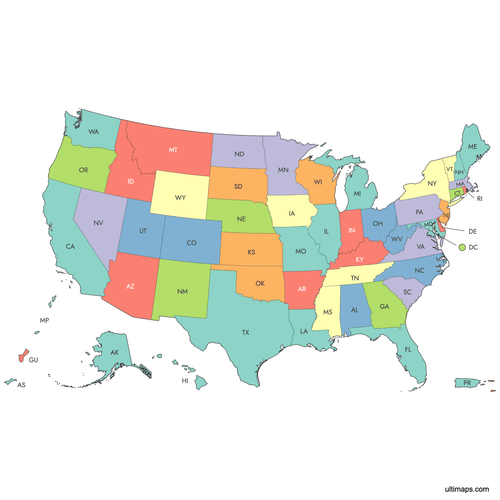 Colored Map of the United States with Puerto Rico and Territoriespng768 KB
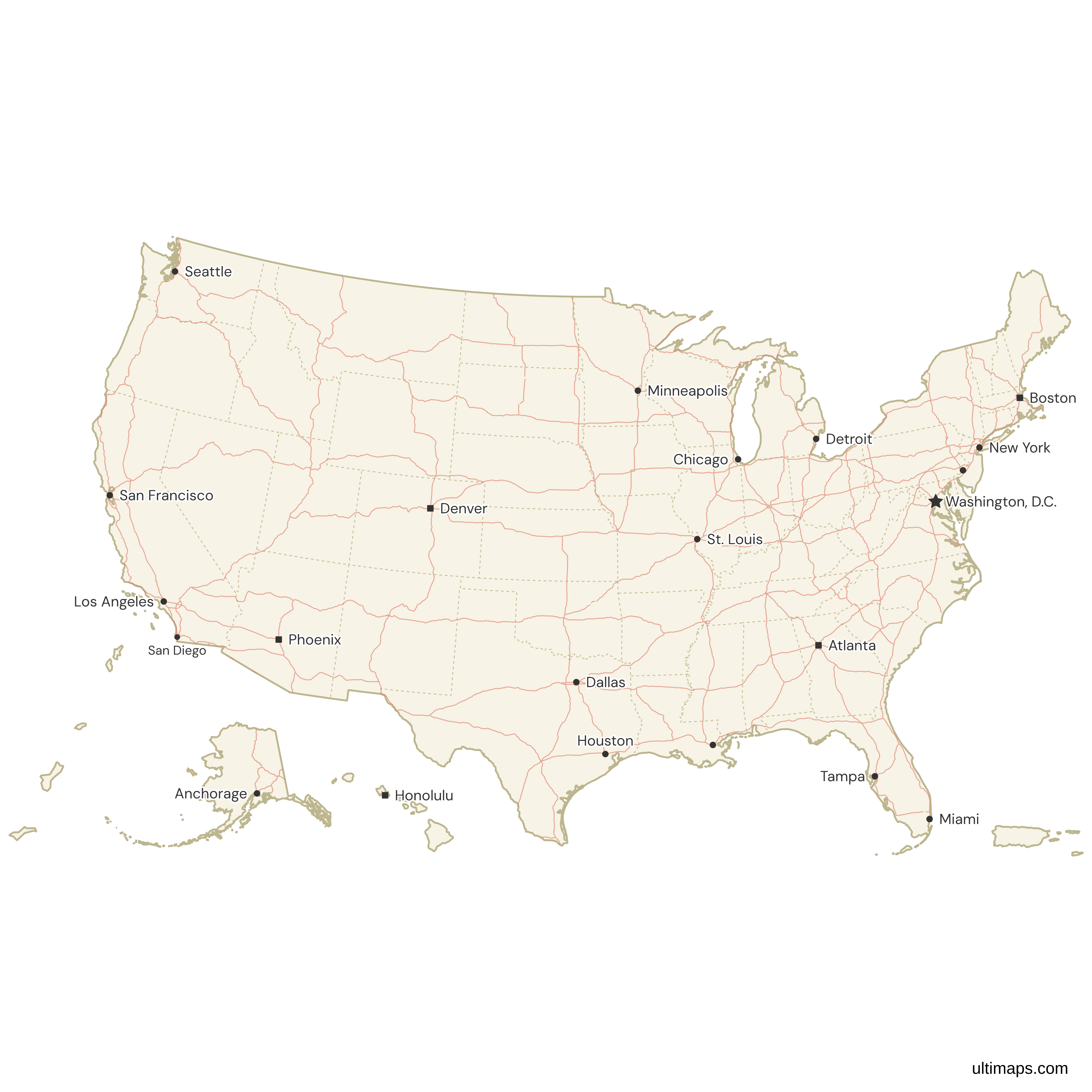
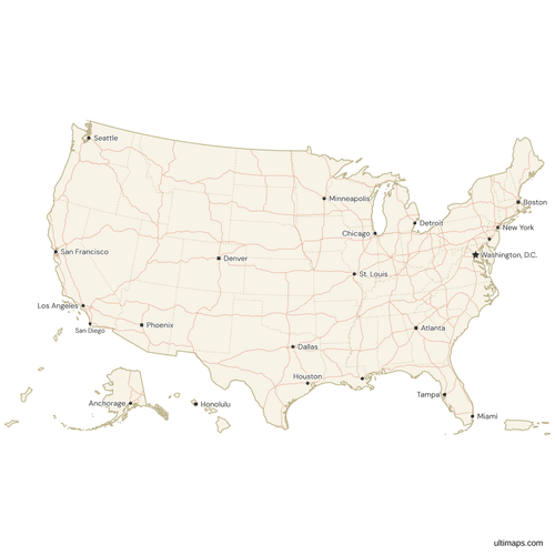 Map of the United States and Territories with Cities and Roadspng892 KB
Need it without colors? The blank version of this map comes as a print-ready PDF (A4 and US Letter), a PNG and an editable SVG.
Custom Map Features
This map supports labels.
This map is divided into 56 states.
Updates
Aug 26, 2024:
- Added map of United States with Outlying Territories — States Counties
Frequently Asked Questions
The United States has 16 territories: 5 permanently inhabited and 11 uninhabited or minor outlying islands.
Puerto Rico is the largest U.S. territory by population, with approximately 3.2 million residents.
Yes, you can use Ultimaps to create custom maps of U.S. territories. Add data, customize details, and export in formats like PNG, PDF, or SVG.
No, only five are permanently inhabited. The rest, including Palmyra Atoll and Baker Island, have no permanent population.
Palmyra Atoll is the only incorporated U.S. territory, fully applying the U.S. Constitution, but it is uninhabited.