Map of Massachusetts Counties
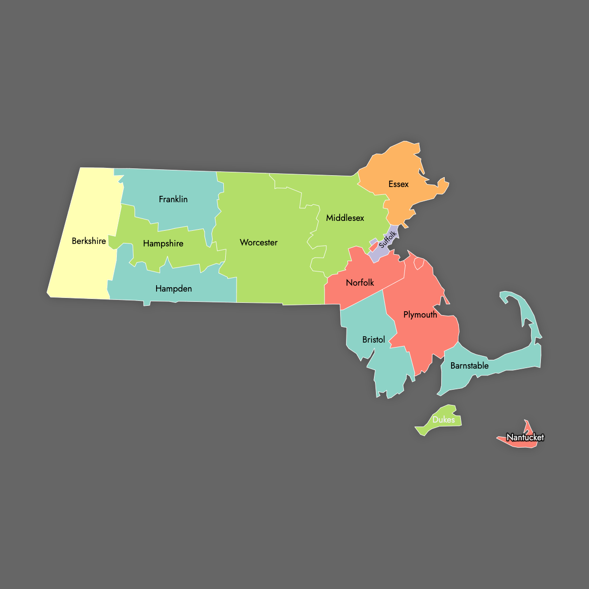
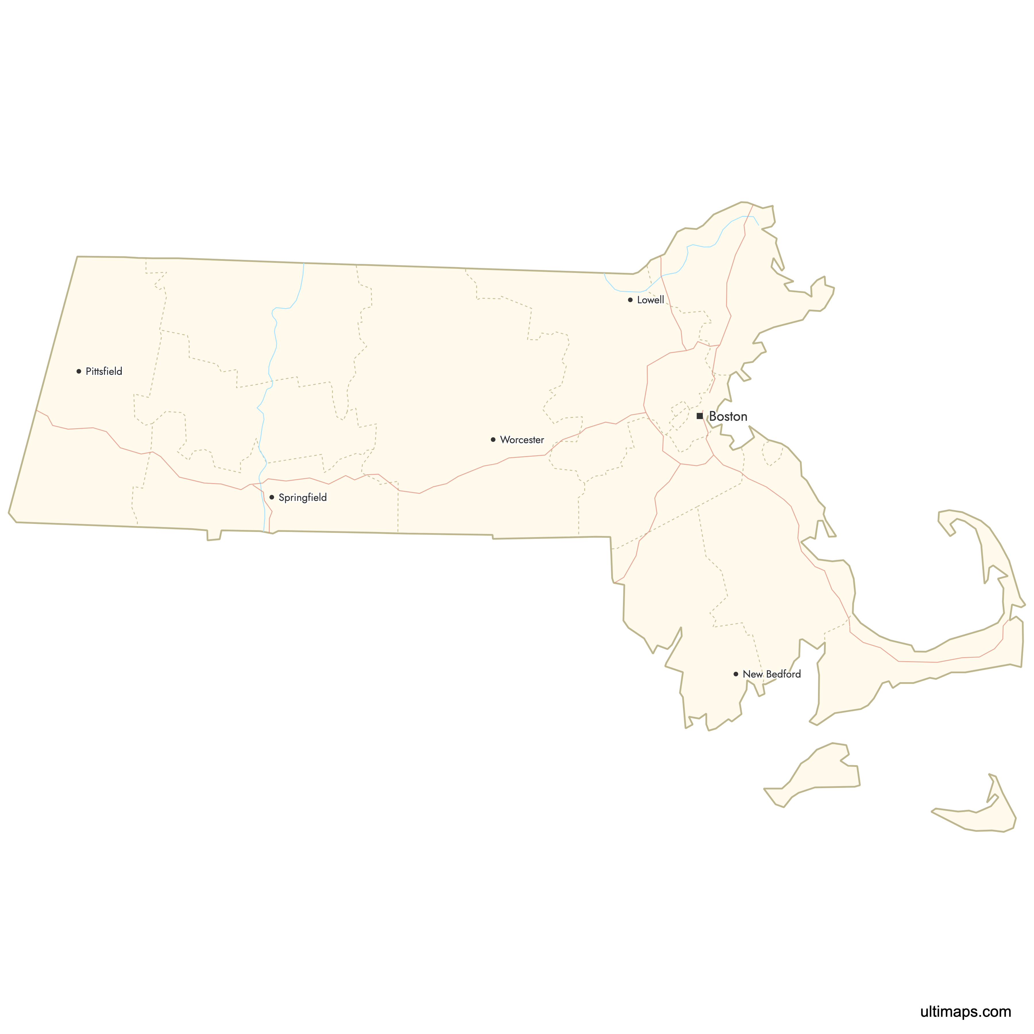
Massachusetts is divided into 14 counties, from the island county of Nantucket to the rural expanses of Worcester and Berkshire counties. Use the interactive maps below to explore counties and their boundaries. Download free maps or learn more about creating a custom map of Massachusetts to visualize your own data.
Interactive Map of Massachusetts Counties
List of Counties (14)
Massachusetts Counties: Key Facts
- Number of counties: 14
- Total number of municipalities: 351 (39 cities and 312 towns)
- Largest county by land area: Worcester County - 1,513 square miles (3,919 km²)
- Smallest county by land area: Nantucket County - 47 square miles (122 km²)
- Most populous county: Middlesex County - about 1.61 million residents
- Least populous county: Nantucket County - about 14,255 residents
- State capital location: Suffolk County (Boston)
- Time zone: Eastern Time Zone
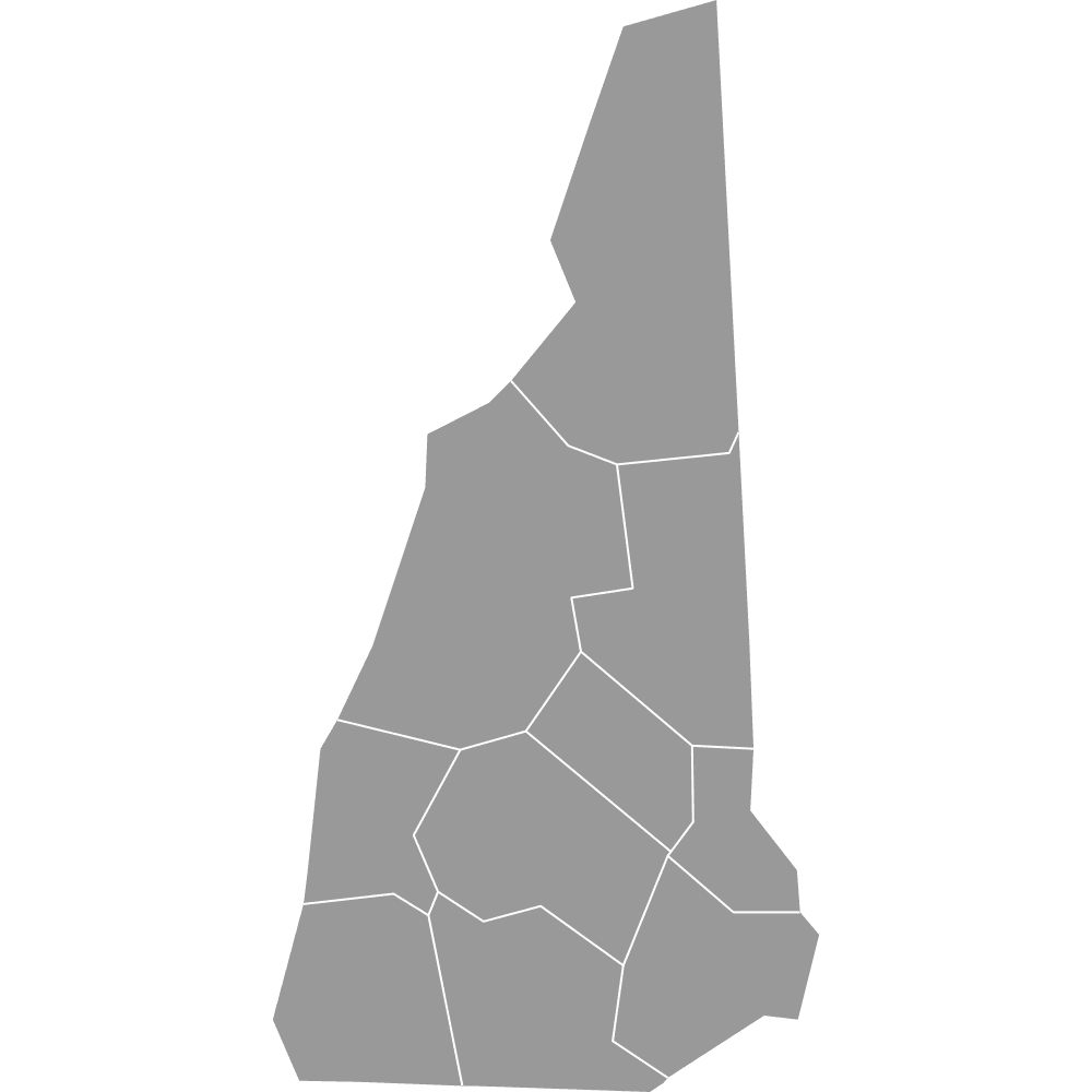
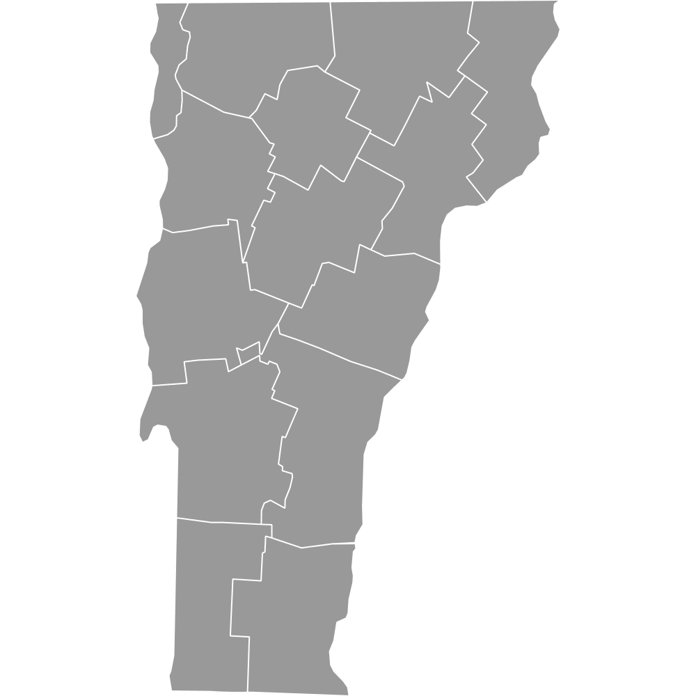
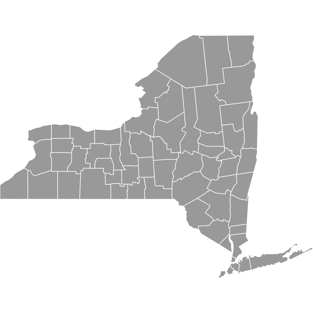
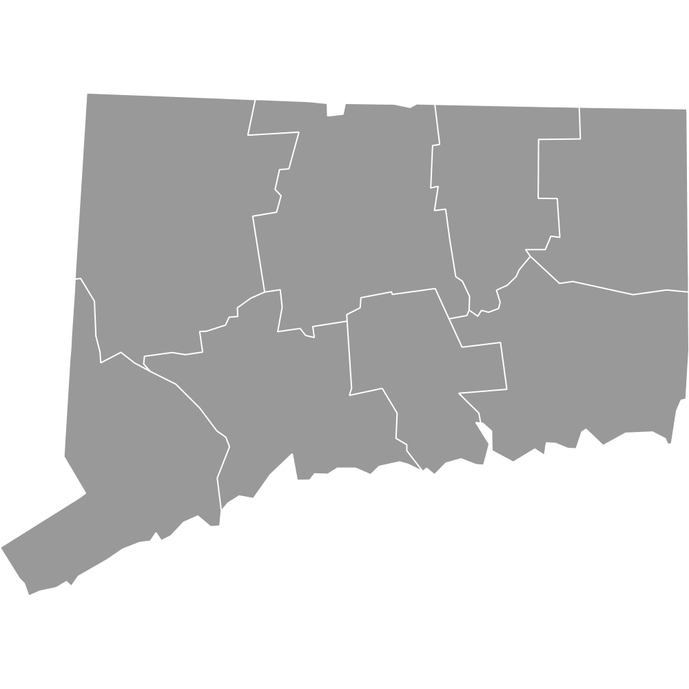
- Neighboring states: New Hampshire, Vermont, New York, Connecticut, Rhode Island
Interesting Facts
- Early colonial counties: Some of the earliest counties, like Essex, Middlesex, and Suffolk, trace to the 17th century under the Massachusetts Bay Colony.
- Oldest town: Plymouth, founded in 1620
- Single-municipality county: Nantucket County is coterminous with the Town of Nantucket
- Boston’s compact county: Suffolk County is densely populated with Boston, Chelsea, Revere, and Winthrop
Free Downloads
Free for personal and commercial use with a credit to Ultimaps. See the license terms for details.
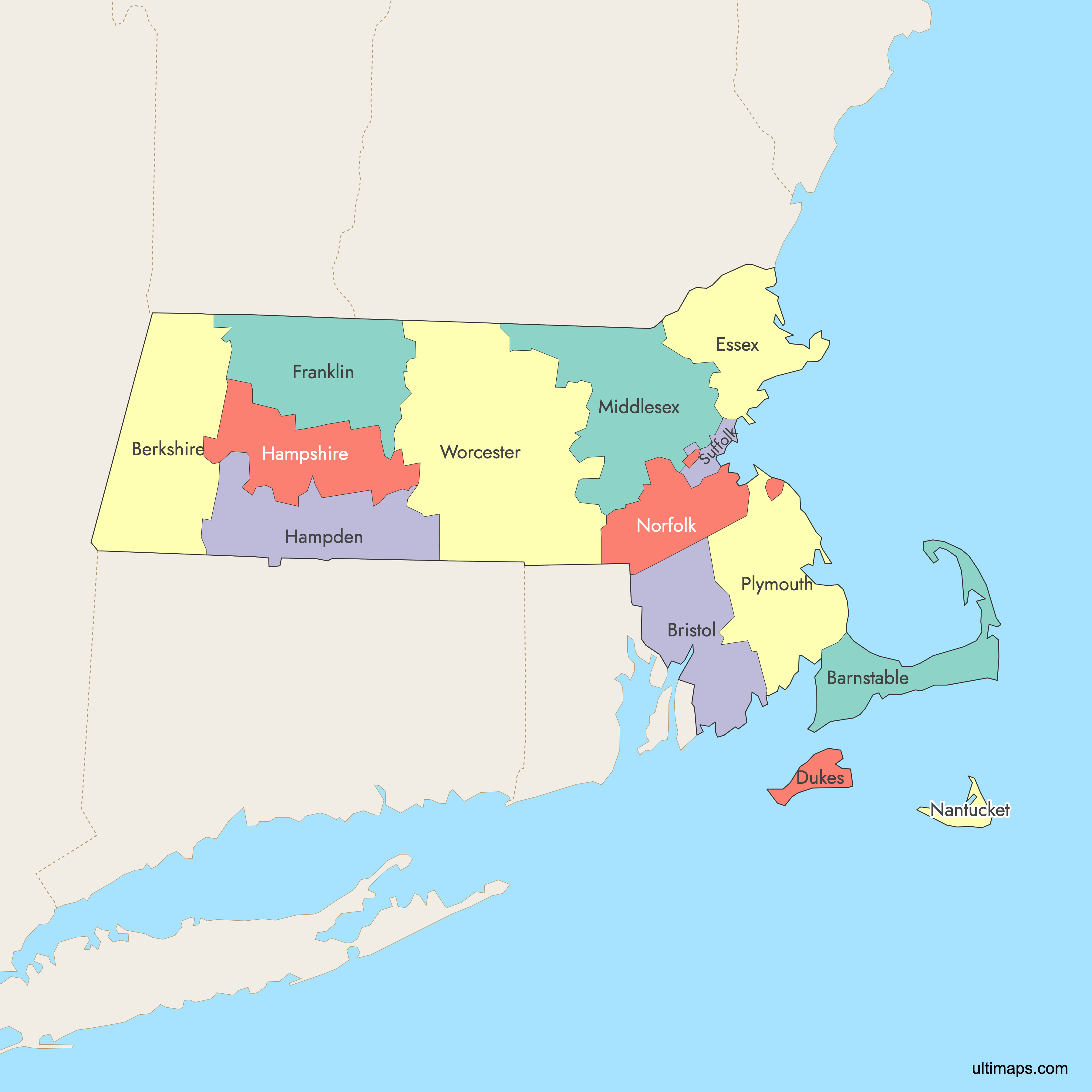
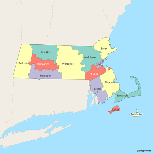 Colored Map of Massachusetts Counties with Surrounding Areaspng573 KB
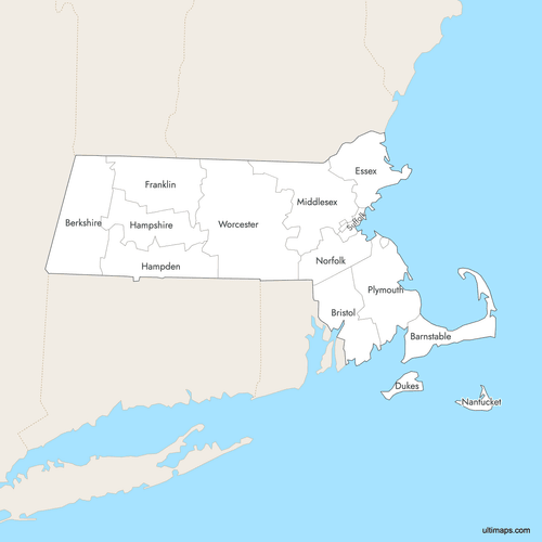 Labeled Map of Massachusetts Counties with Surrounding Areaspng566 KB
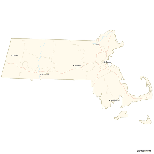 Map of Massachusetts Counties with Citiespng454 KB
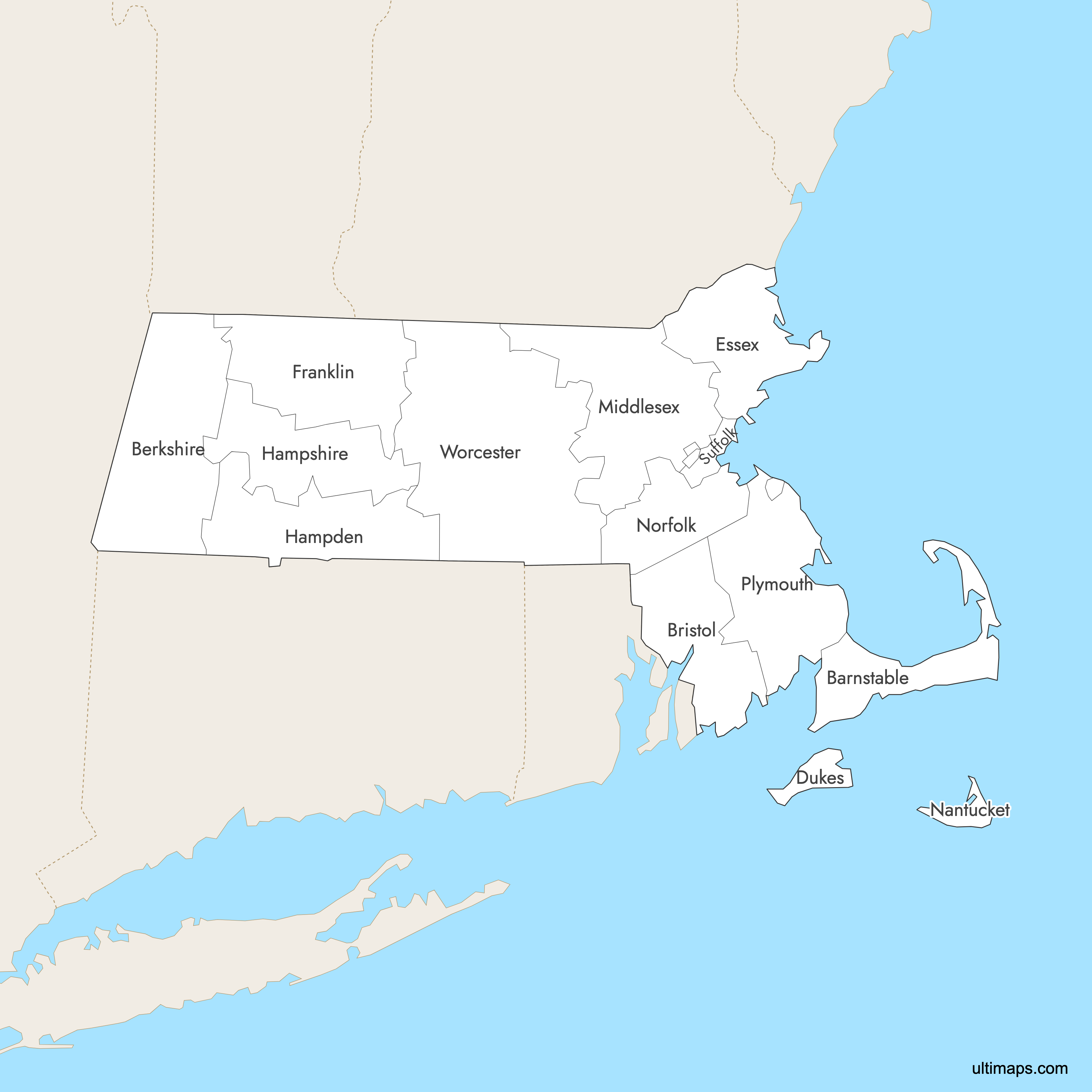
Need it without colors? The blank version of this map comes as a print-ready PDF (A4 and US Letter), a PNG and an editable SVG.
Custom Map Features
This map supports labels.
This map supports surrounding areas, roads, rivers and cities. New
This map is divided into 14 counties.
Updates
Sep 15, 2025:
- Improved map quality
- Added support for surrounding areas and lakes
Aug 26, 2024:
- Added map of Massachusetts Counties
Frequently Asked Questions
The Commonwealth of Massachusetts has 14 counties: Barnstable, Berkshire, Bristol, Dukes, Essex, Franklin, Hampden, Hampshire, Middlesex, Nantucket, Norfolk, Plymouth, Suffolk, and Worcester.
Boston is in Suffolk County, which also includes Chelsea, Revere, and Winthrop.
Worcester County is the largest Massachusetts county by land area, covering about 1,513 square miles (3,919 km²).
Middlesex County is the most populous county, with about 1.61 million residents.
You can use Ultimaps to create custom maps of Massachusetts. Color-code counties manually or upload data, place pins, customize the look and feel, and export to PNG, PDF, or SVG.