Map of New England States
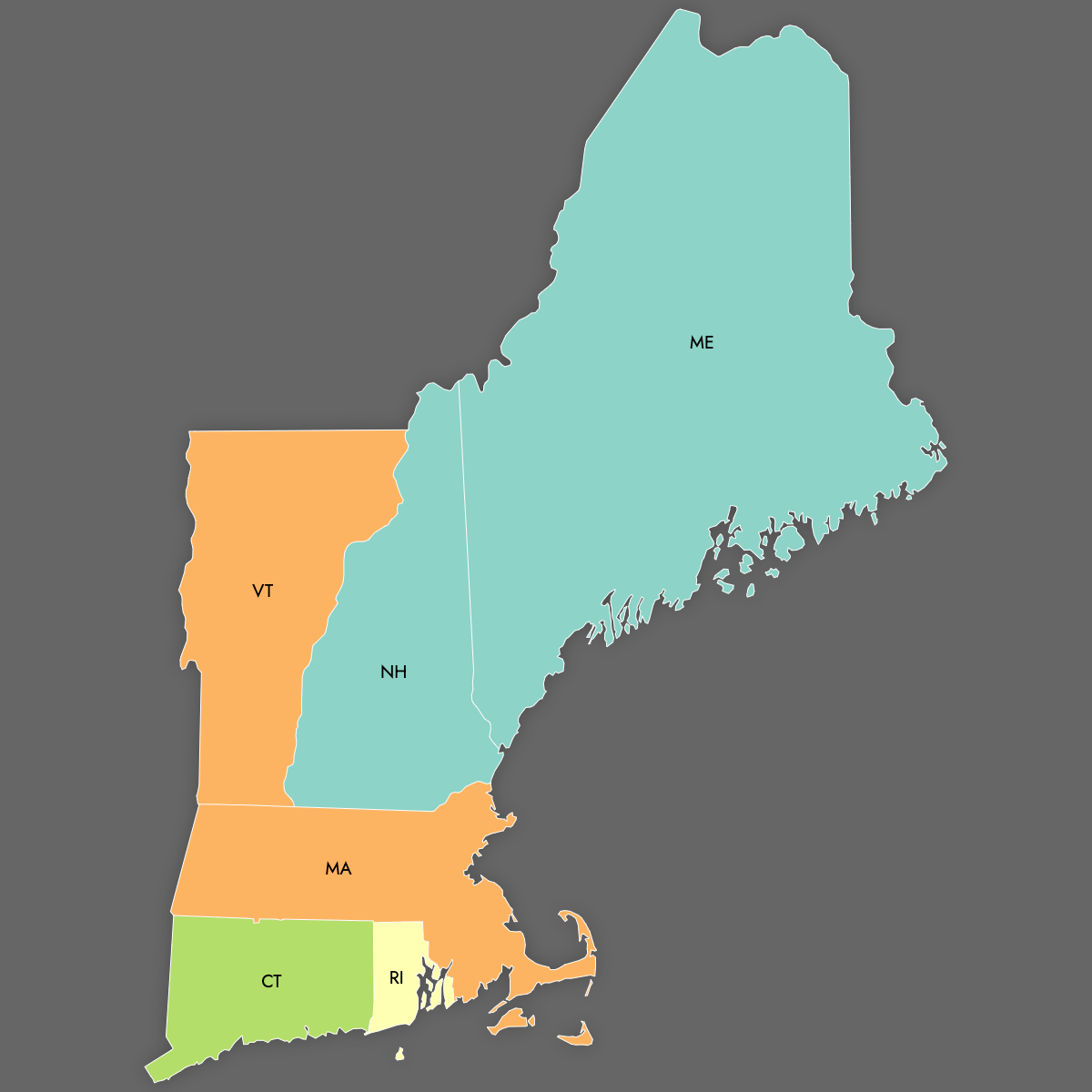
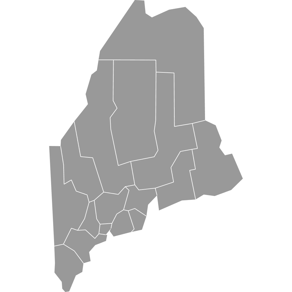
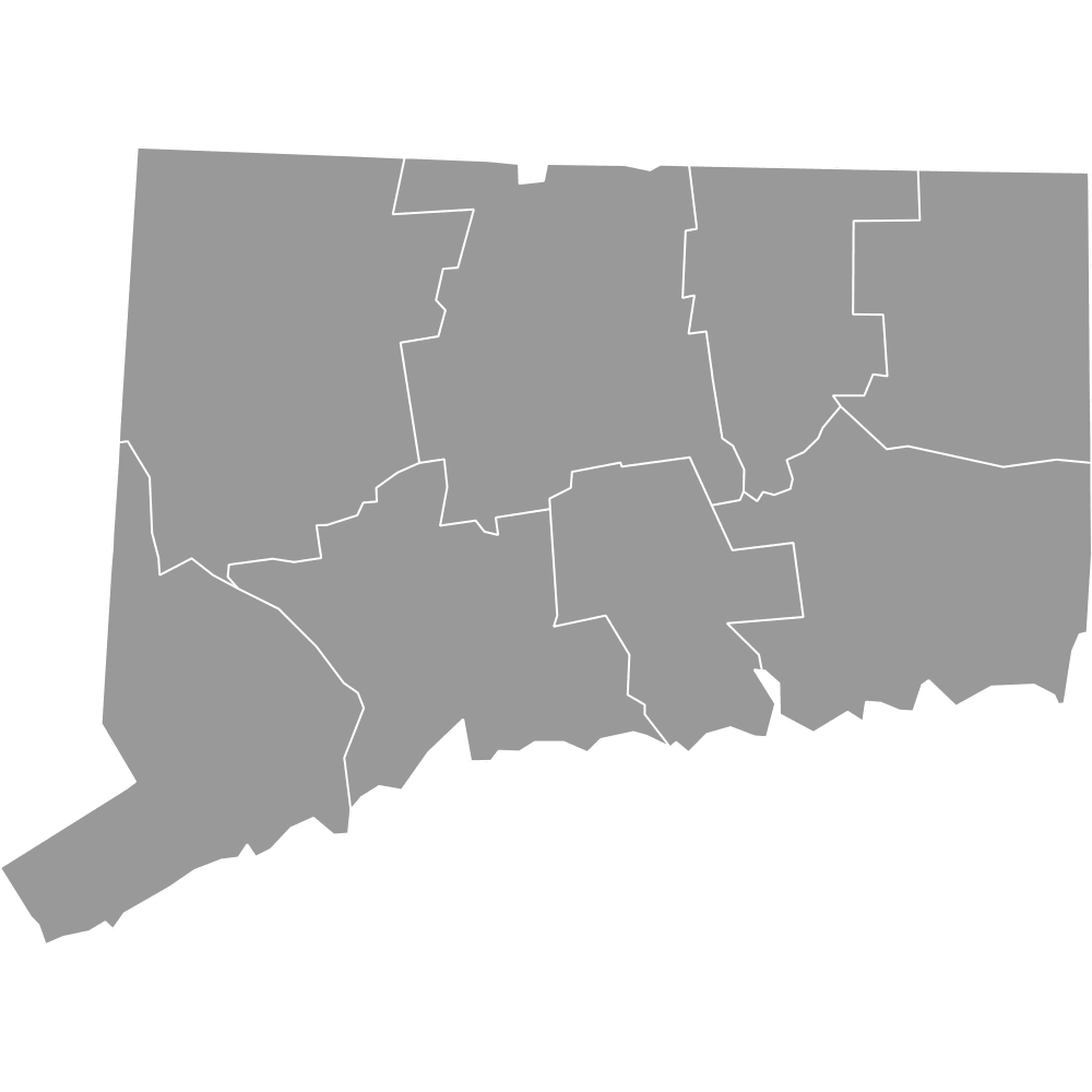
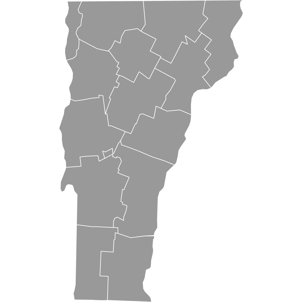
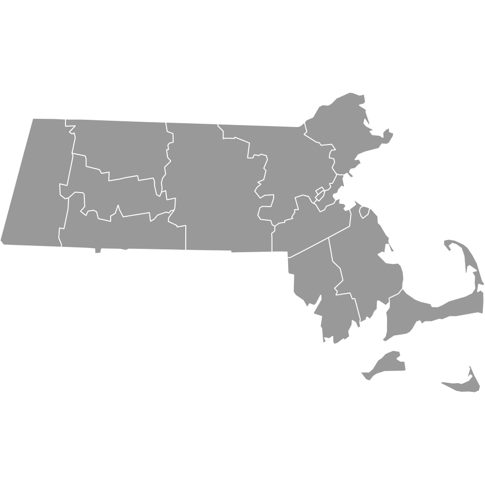
New England is a region in the northeastern United States made up of six states: Connecticut, Maine, Massachusetts, New Hampshire, Rhode Island, and Vermont. Explore these states with their boundaries on the interactive maps below. Download free maps or learn more about creating a custom New England map to visualize your own data.
Interactive Map of New England States
List of States (6)
| # | State |
|---|---|
| 1 | Connecticut |
| 2 | Maine |
| 3 | Massachusetts |
| 4 | New Hampshire |
| 5 | Rhode Island |
| 6 | Vermont |
New England States: Key Facts
- Total number of states: 6
- Largest state by area: Maine - 35,380 square miles (91,600–91,633 km²)
- Smallest state by area: Rhode Island - 1,545 square miles (4,000–4,001 km²)
- Neighboring regions: New York to the west; Quebec and New Brunswick to the north; Gulf of Maine and the Atlantic Ocean to the east and southeast; Long Island Sound to the southwest
- Major urban centers: Greater Boston, Providence, Hartford
- State capitals: Hartford (CT), Augusta (ME), Boston (MA), Concord (NH), Providence (RI), Montpelier (VT)
- Time zone: Eastern Time Zone (ET)
Interesting and Unusual Facts
- Naming patterns: Each state has a town named Warren.
- Franklin Counties: Found in Massachusetts, Vermont, and Maine.
- Size comparison: New England is slightly larger than Washington and slightly smaller than Great Britain.
- Maine’s dominance: Nearly half of New England’s area is Maine, yet it ranks 39th among U.S. states by size.
- Forest coverage: 90% of Maine is forested, the highest percentage in the U.S.
Free Downloads
Free for personal and commercial use with a credit to Ultimaps. See the license terms for details.
 Colored Map of New England States with Surrounding Areaspng580 KB
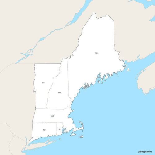 Labeled Map of New England States with Surrounding Areaspng577 KB


Need it without colors? The blank version of this map comes as a print-ready PDF (A4 and US Letter), a PNG and an editable SVG.
Custom Map Features
This map supports labels.
This map supports surrounding areas and roads. New
This map is divided into 6 states.
Updates
Aug 27, 2025:
- Improved map quality
- Added support for surrounding areas and lakes
Feb 7, 2025:
- Added map of New England states
Frequently Asked Questions
New England is composed of six states: Maine, New Hampshire, Vermont, Massachusetts, Rhode Island, and Connecticut.
New England is located in the northeastern United States, bordered by New York to the west, Quebec and New Brunswick to the north, the Gulf of Maine and the Atlantic Ocean to the east and southeast, and Long Island Sound to the southwest.
New England has a combined area of 71,987–71,988 square miles (186,447 km²), making it slightly larger than Washington State and slightly smaller than Great Britain.
The largest state in New England by area is Maine, with 35,380 square miles (91,600–91,633 km²), and the smallest is Rhode Island, with 1,545 square miles (4,000–4,001 km²).
You can use Ultimaps to create custom maps of the New England States. Color-code states manually or upload data, place pins, customize look and feel, and export to PNG, PDF, or SVG.