Map of New Hampshire Counties
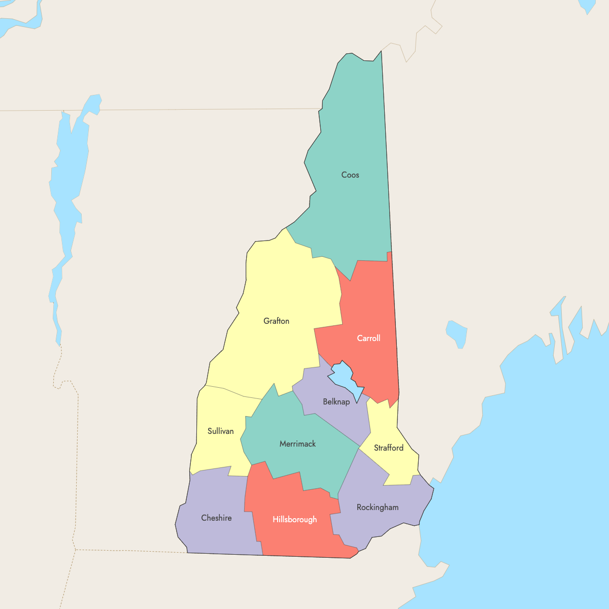
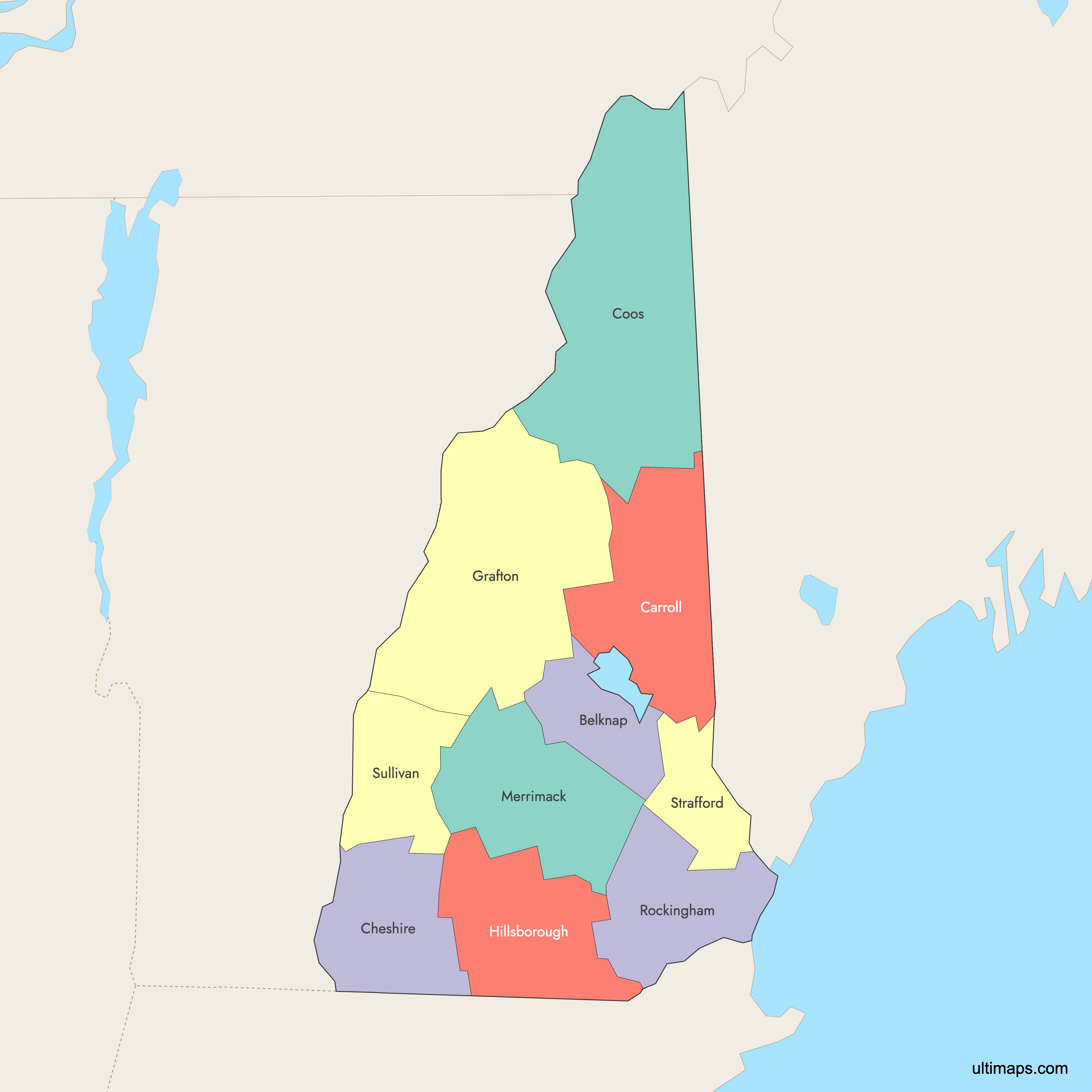
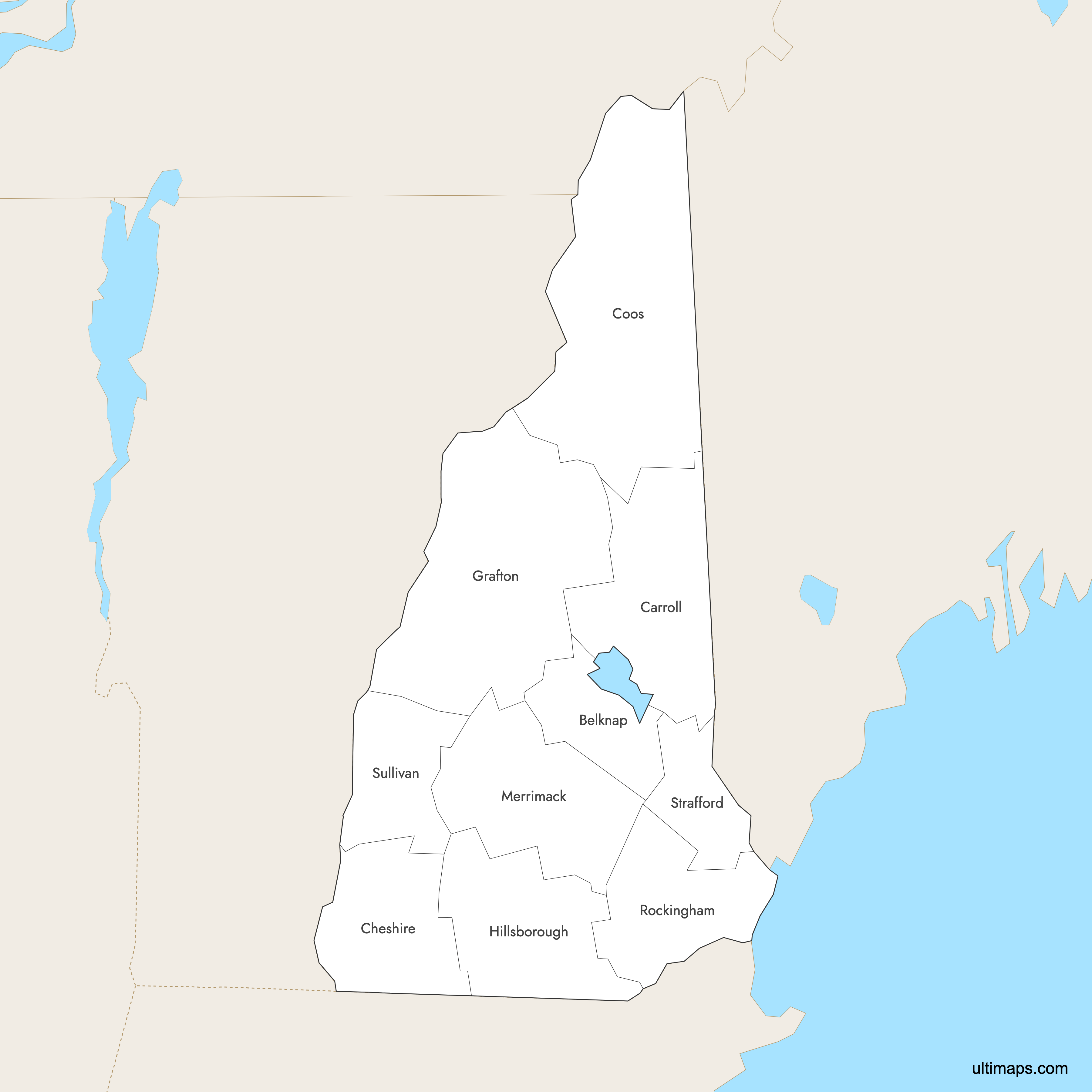
New Hampshire is divided into 10 counties. Use the interactive maps below to explore counties and their boundaries. Download free maps or learn more about creating a custom map of New Hampshire to visualize your own data.
Interactive Map of New Hampshire Counties
List of Counties (10)
| # | County | County seat | Year founded |
|---|---|---|---|
| 1 | Belknap | Laconia | 1840 |
| 2 | Carroll | Ossipee | 1840 |
| 3 | Cheshire | Keene | 1769 |
| 4 | Coos | Lancaster | 1803 |
| 5 | Grafton | North Haverhill | 1769 |
| 6 | Hillsborough | Manchester | 1769 |
| 7 | Merrimack | Concord | 1823 |
| 8 | Rockingham | Brentwood | 1769 |
| 9 | Strafford | Dover | 1769 |
| 10 | Sullivan | Newport | 1827 |
New Hampshire Counties: Key Facts
- Total number of counties: 10
- Largest county by land area: Coos County - 1,830 square miles (4,740 km²)
- Smallest county by area: Strafford County - 369 square miles (956 km²)
- Most populous county: Hillsborough County - 422,937 (2020 Census)
- Least populous county: Coos County - 31,268 (2020 Census)
- Counties with significant urban centers: Hillsborough (Nashua and Manchester), Rockingham (Portsmouth and Exeter), Merrimack (Concord)
- State capital location: Concord in Merrimack County
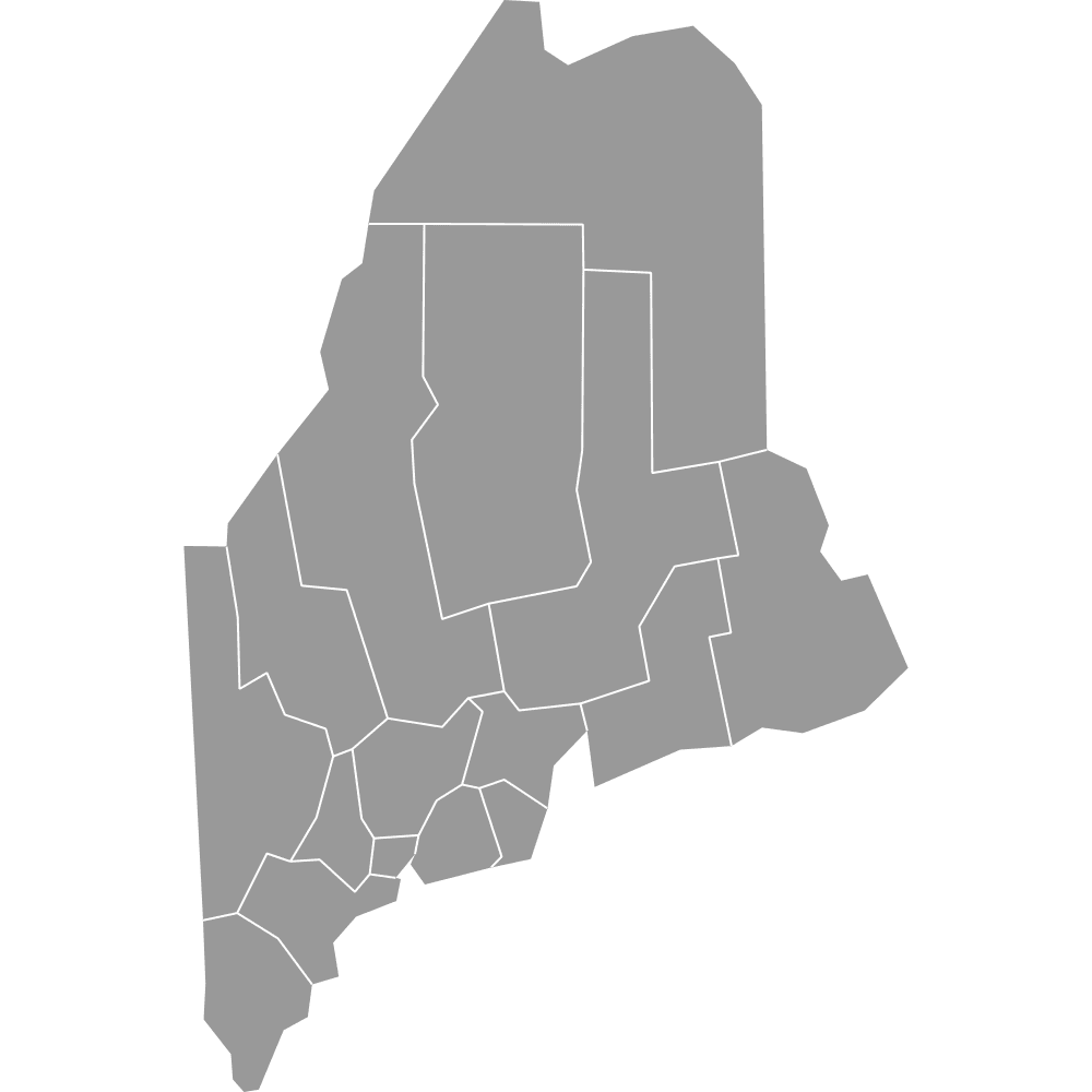
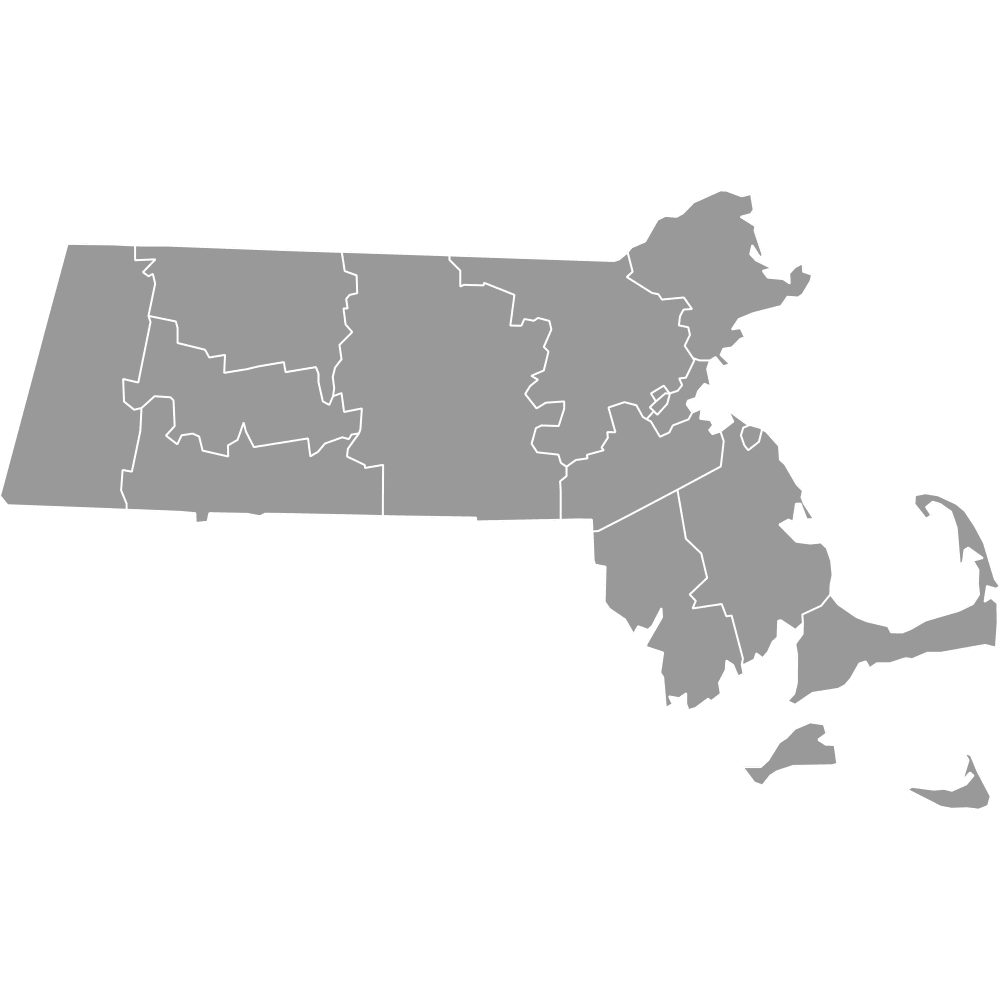
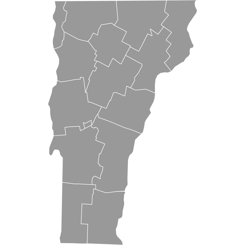
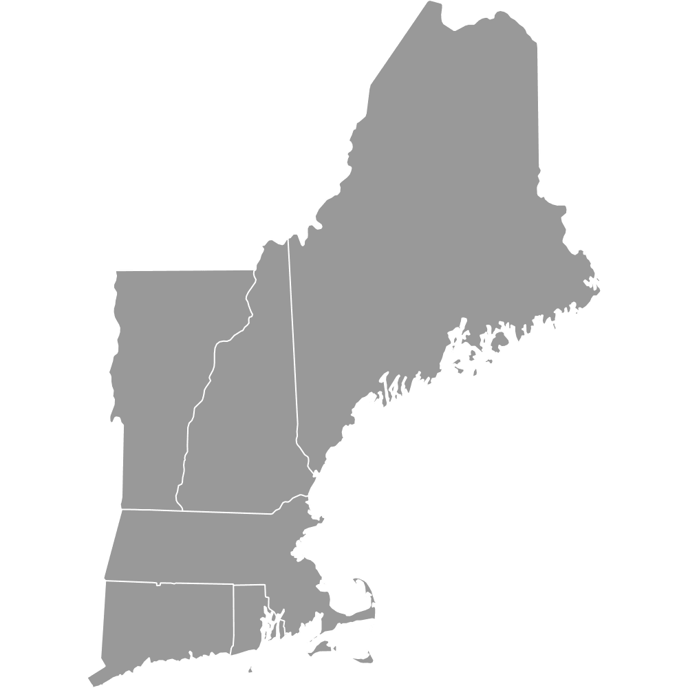
- Bordering states: Maine, Massachusetts, Vermont
- Time zone: Eastern Time Zone (UTC-5)
Interesting Facts
- Most counties were formed between 1769 and 1827, with boundaries stable since 1840.
- Coos County was created in 1803 to govern the remote northern region.
- New Hampshire's 10 counties are among the fewest of any U.S. state.
- Coos County, known as the "Switzerland of America," features the White Mountains and Mount Washington.
- Grafton County's Swanzey Covered Bridge is the only one listed on the National Register of Historic Places open year-round to vehicles.
- Hart's Location in Carroll County holds the record for the fastest town vote in U.S. history: 27 votes in 7 minutes on November 5, 2002.
Free Downloads
Free for personal and commercial use with a credit to Ultimaps. See the license terms for details.
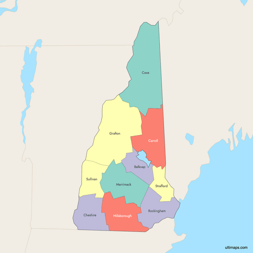 Colored Map of New Hampshire Counties with Surrounding Areaspng445 KB
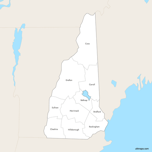 Labeled Map of New Hampshire Counties with Surrounding Areaspng442 KB
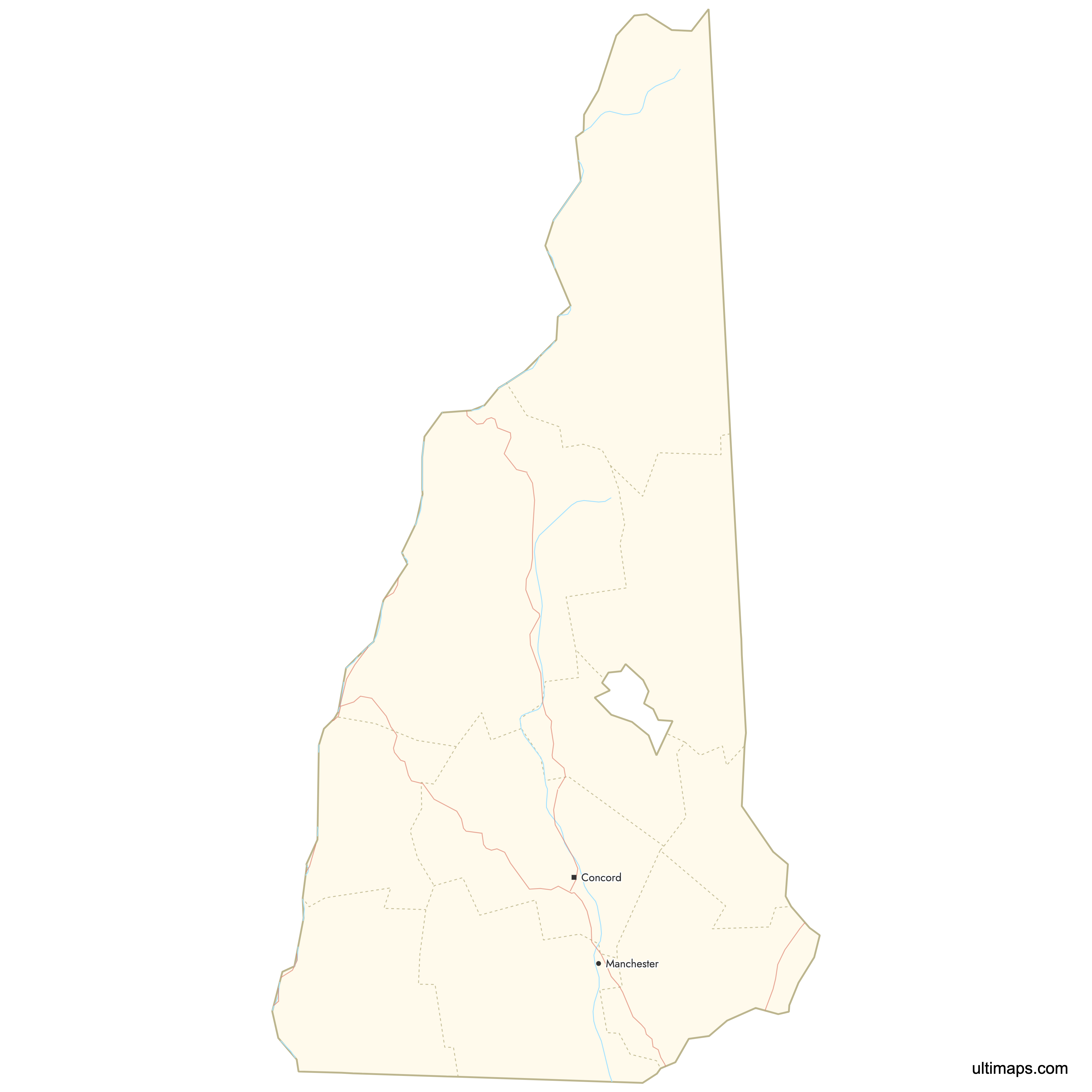
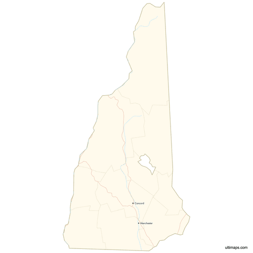 Map of New Hampshire Counties with Citiespng378 KB
Need it without colors? The blank version of this map comes as a print-ready PDF (A4 and US Letter), a PNG and an editable SVG.
Custom Map Features
This map supports labels.
This map supports surrounding areas, roads, rivers and cities. New
This map is divided into 10 counties.
Updates
Feb 2, 2026:
- Improved map quality
- Added support for surrounding areas and lakes
Aug 26, 2024:
- Added map of New Hampshire Counties
Frequently Asked Questions
New Hampshire has exactly 10 counties: Belknap, Carroll, Cheshire, Coos, Grafton, Hillsborough, Merrimack, Rockingham, Strafford, and Sullivan.
Coos County is the largest at 1,830 square miles (4,740 square kilometers).
Hillsborough County is the most populous, with a population of 422,937 as of the 2020 Census.
The county seats are: Belknap (Laconia), Carroll (Ossipee), Cheshire (Keene), Coos (Lancaster), Grafton (North Haverhill), Hillsborough (Nashua), Merrimack (Concord), Rockingham (Brentwood), Strafford (Dover), and Sullivan (Newport).
Strafford County is the smallest, covering 369 square miles (956 square kilometers).
You can use Ultimaps to create custom maps of New Hampshire. Color-code counties manually or upload data, place pins, customize look and feel, and export to PNG, PDF, or SVG.