Map of Rhode Island Counties
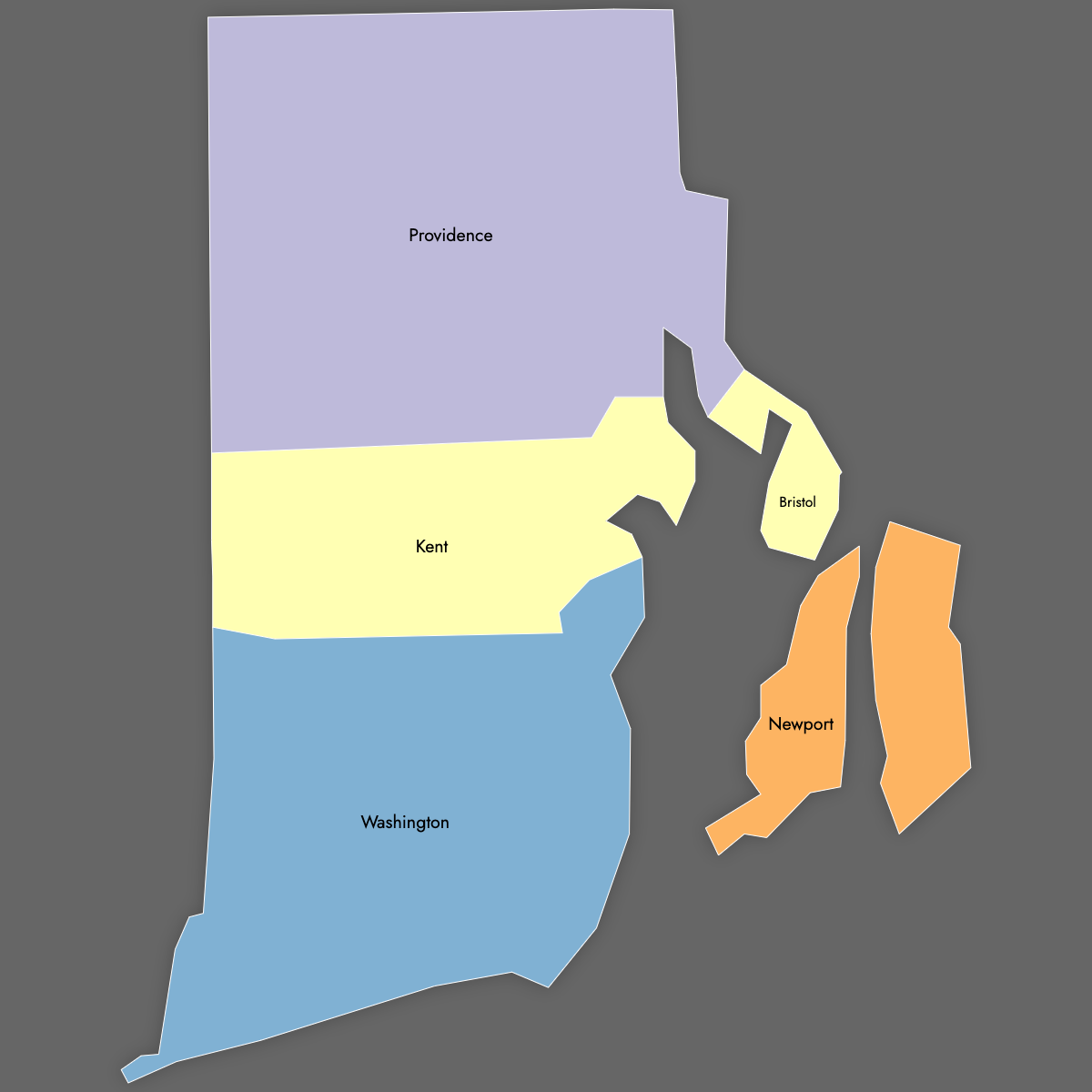
Rhode Island is divided into 5 counties, each serving as an administrative region for judicial and corrections purposes rather than local governance. Explore the counties' boundaries with the interactive maps below. Download free maps or create a custom map of Rhode Island to visualize your own data.
Interactive Map of Rhode Island Counties
List of Counties (5)
| # | County | County seat | Year founded |
|---|---|---|---|
| 1 | Bristol | Bristol | 1747 |
| 2 | Kent | East Greenwich | 1750 |
| 3 | Newport | Newport | 1703 |
| 4 | Providence | Providence | 1703 |
| 5 | Washington | South Kingstown | 1729 |
Rhode Island Counties: Key Facts
- Total number of counties: 5
- Bristol (Bristol)
- Kent (East Greenwich)
- Newprot (Newport)
- Providence (Providence)
- Washington (South Kingstown/West Kingston)
- Largest county by land area: Providence County - 409 square miles (1,059 km²)
- Smallest county by land area: Bristol County - 25 square miles (65 km²), third-smallest in the U.S.
- Most populous county: Providence County - 675,912 residents (2020 Census)
- Least populous county: Bristol County - 50,793 residents (2020 Census)
- No county-level government: Functions as judicial and corrections boundaries since 1846
- Time zone: Eastern Time Zone
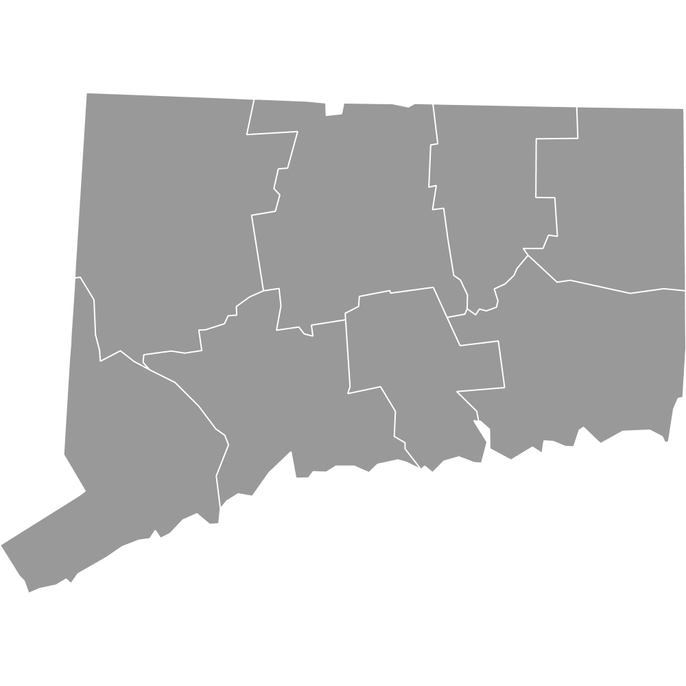
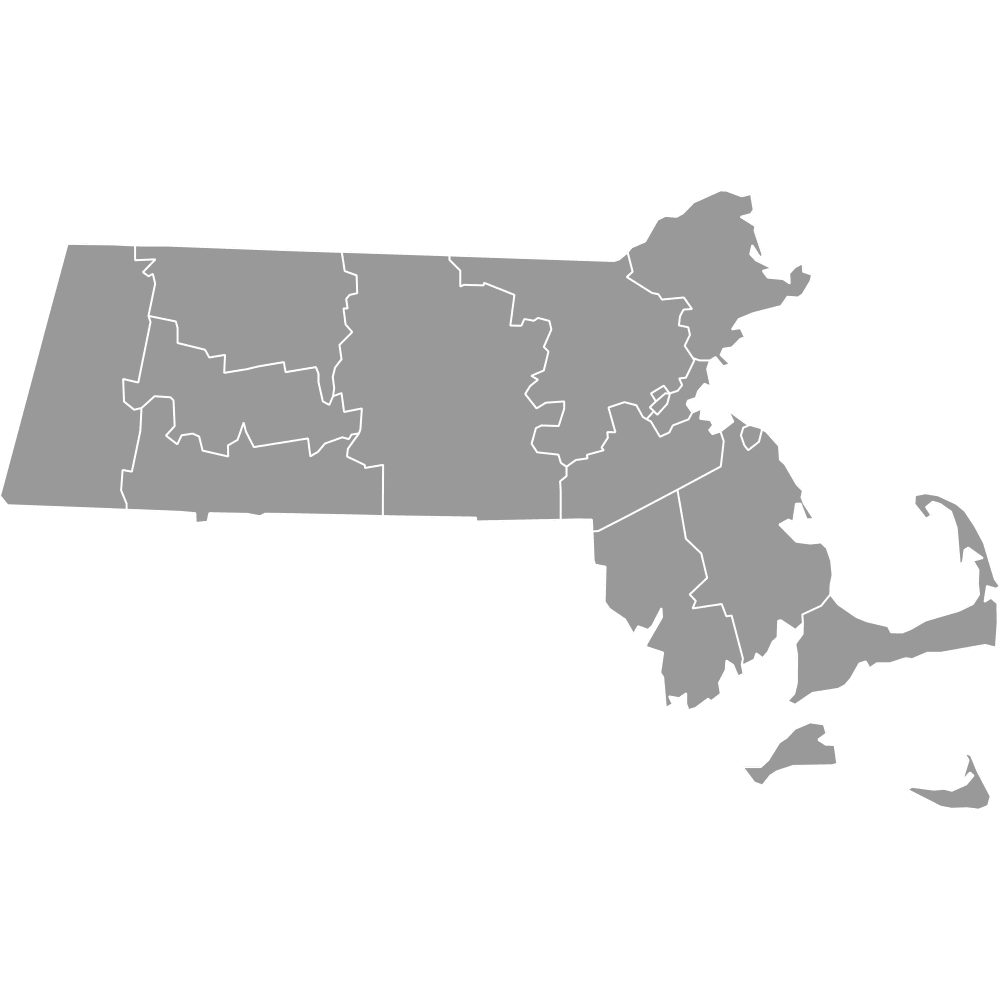
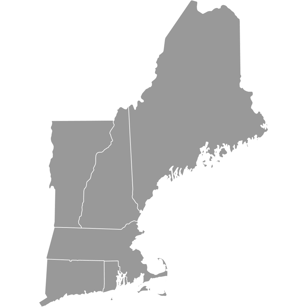
- Neighboring states: Connecticut and Massachusetts
Interesting Facts
- Second-fewest counties in the U.S.: Tied with Hawaii; only Delaware has fewer.
- Water vs. land: Newport County has more water area than land.
- Colonial naming origins: Includes names like "Providence" for religious significance and "Washington" in honor of George Washington.
Free Downloads
Free for personal and commercial use with a credit to Ultimaps. See the license terms for details.
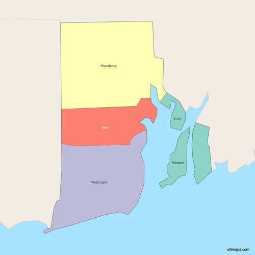 Colored Map of Rhode Island Counties with Surrounding Areaspng326 KB
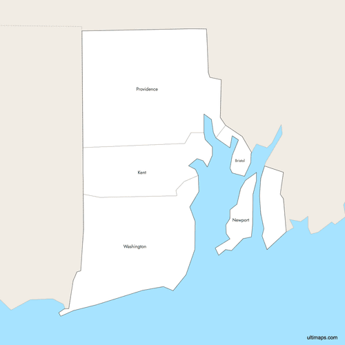 Labeled Map of Rhode Island Counties with Surrounding Areaspng321 KB
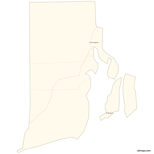 Map of Rhode Island Counties with Citiespng315 KB
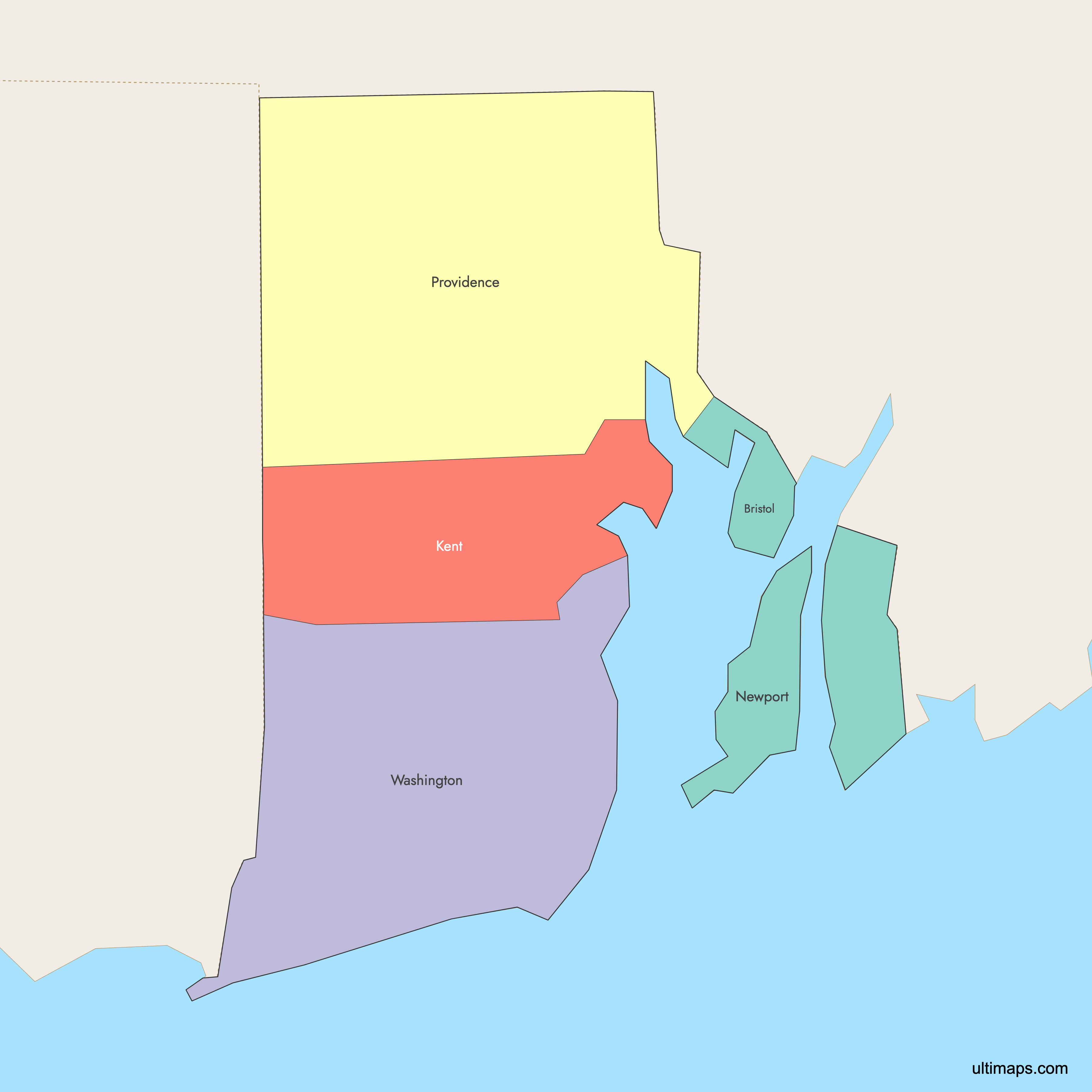
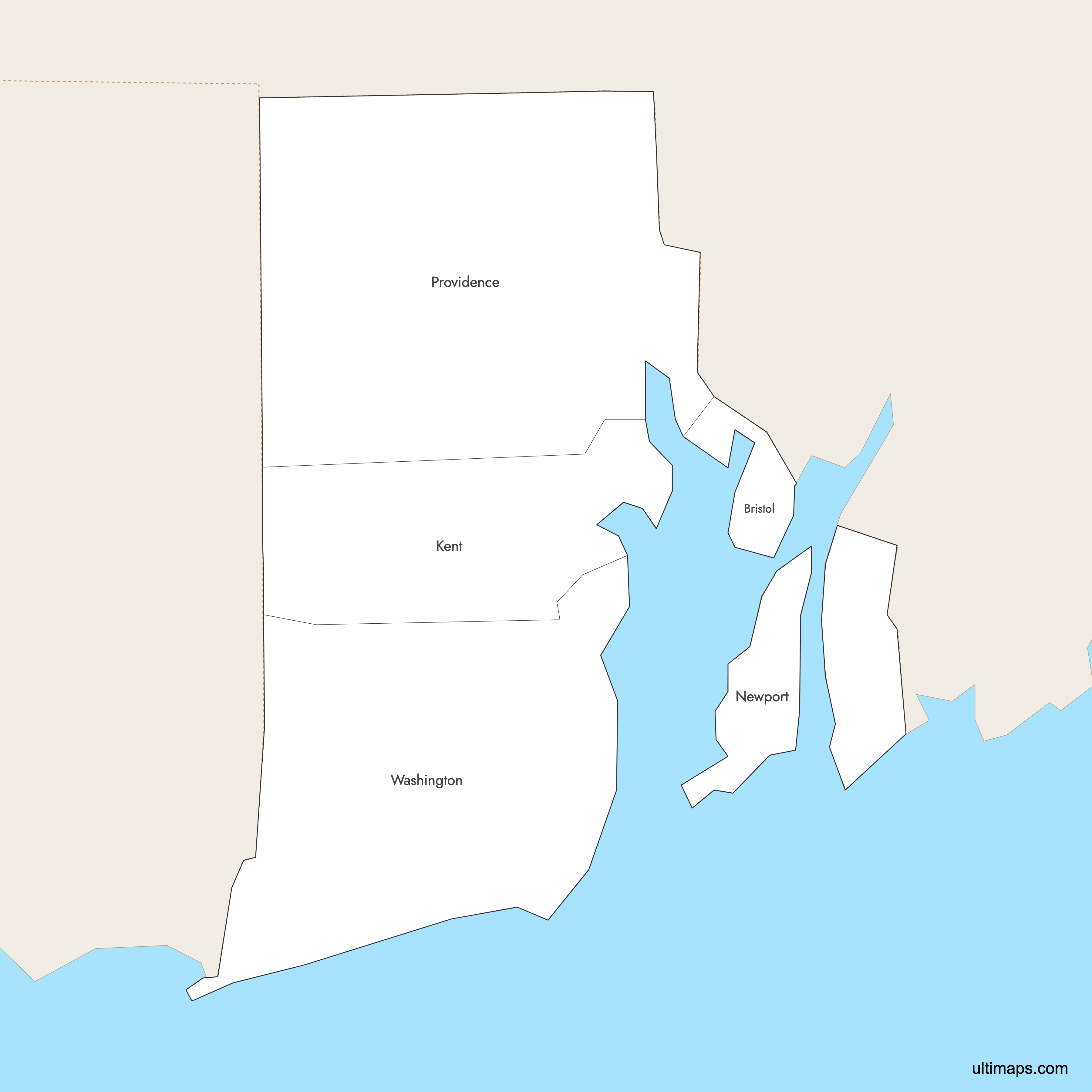
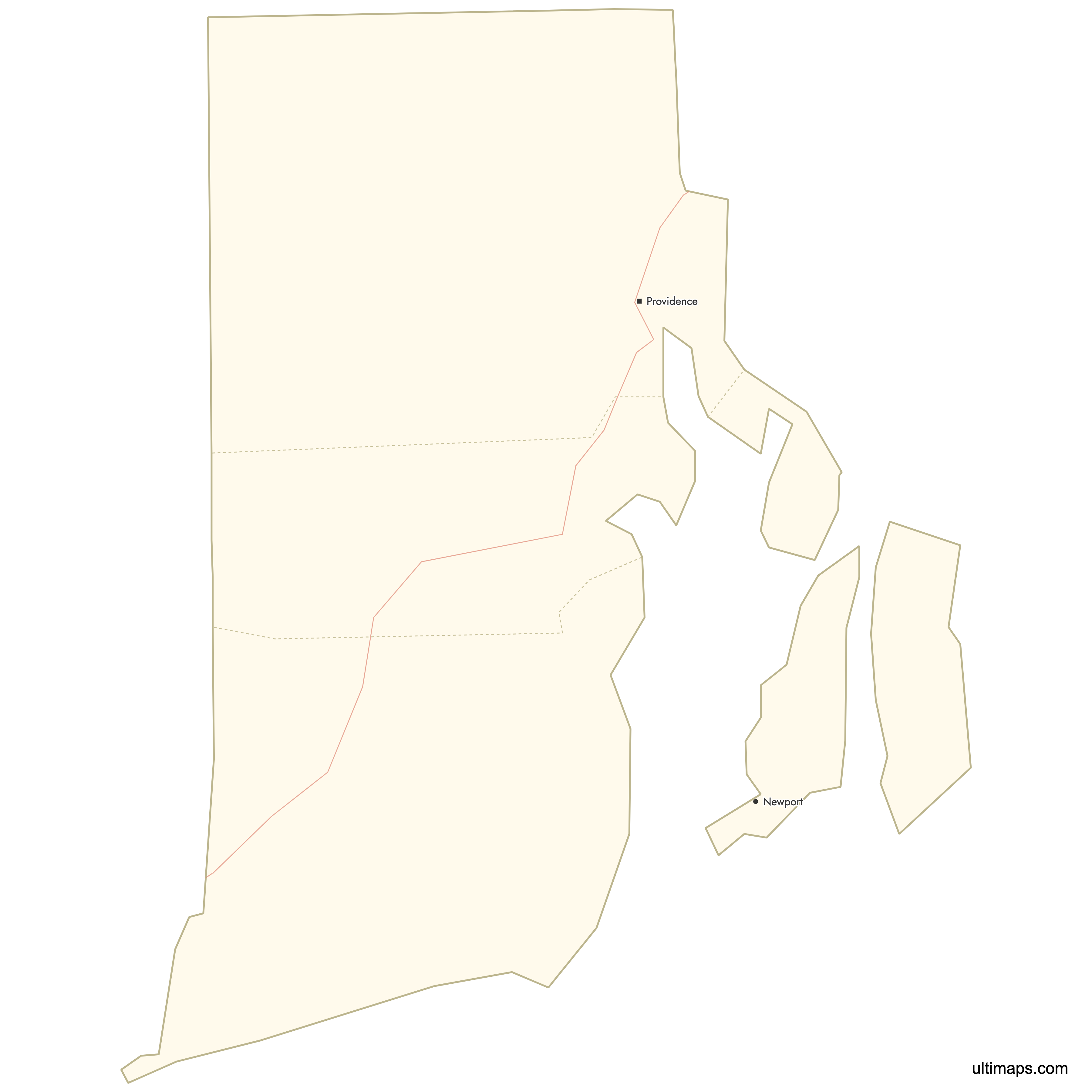
Need it without colors? The blank version of this map comes as a print-ready PDF (A4 and US Letter), a PNG and an editable SVG.
Custom Map Features
This map supports labels.
This map supports surrounding areas, roads and cities. New
This map is divided into 5 counties.
Updates
Oct 2, 2025:
- Improved map quality
- Added support for surrounding areas and lakes
Aug 26, 2024:
- Added map of Rhode Island Counties
Frequently Asked Questions
Rhode Island has 5 counties: Bristol, Kent, Newport, Providence, and Washington.
The largest county by land area is Providence County, with 409 sq mi (1,059 km²) of land.
The smallest county in Rhode Island is Bristol County, with a land area of just 25 sq mi (65 km²), making it the third-smallest county in the United States by area.
Providence County is the most populous county in Rhode Island, with 675,912 residents according to the 2020 Census.
No. Although Rhode Island is divided into five counties, counties have had no governmental functions since 1846. Local government is provided by 8 cities and 31 towns, and counties function mainly as judicial and corrections administrative boundaries.
You can use Ultimaps to create custom maps of Rhode Island. Color-code counties manually or upload data, place pins, customize look and feel, and export to PNG, PDF, or SVG.