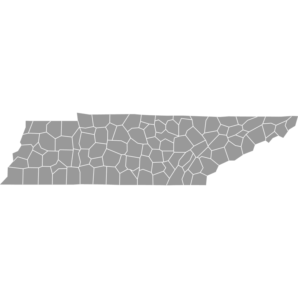
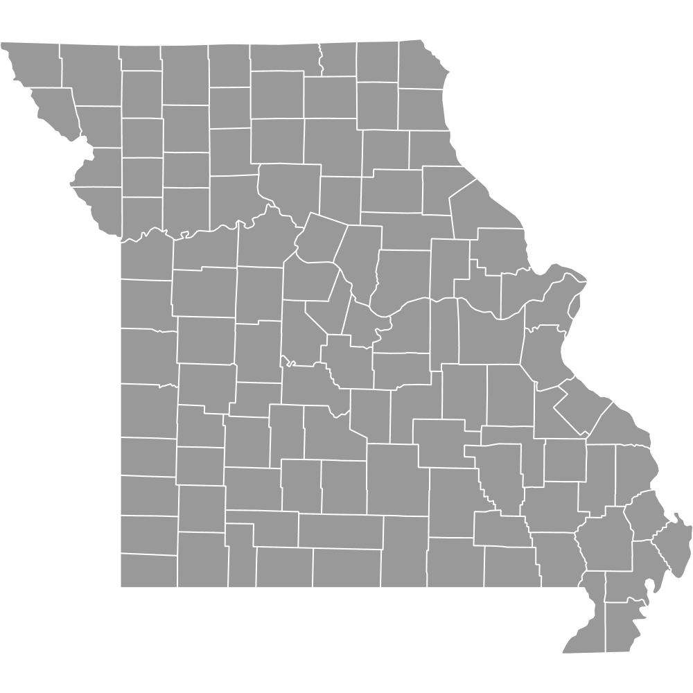
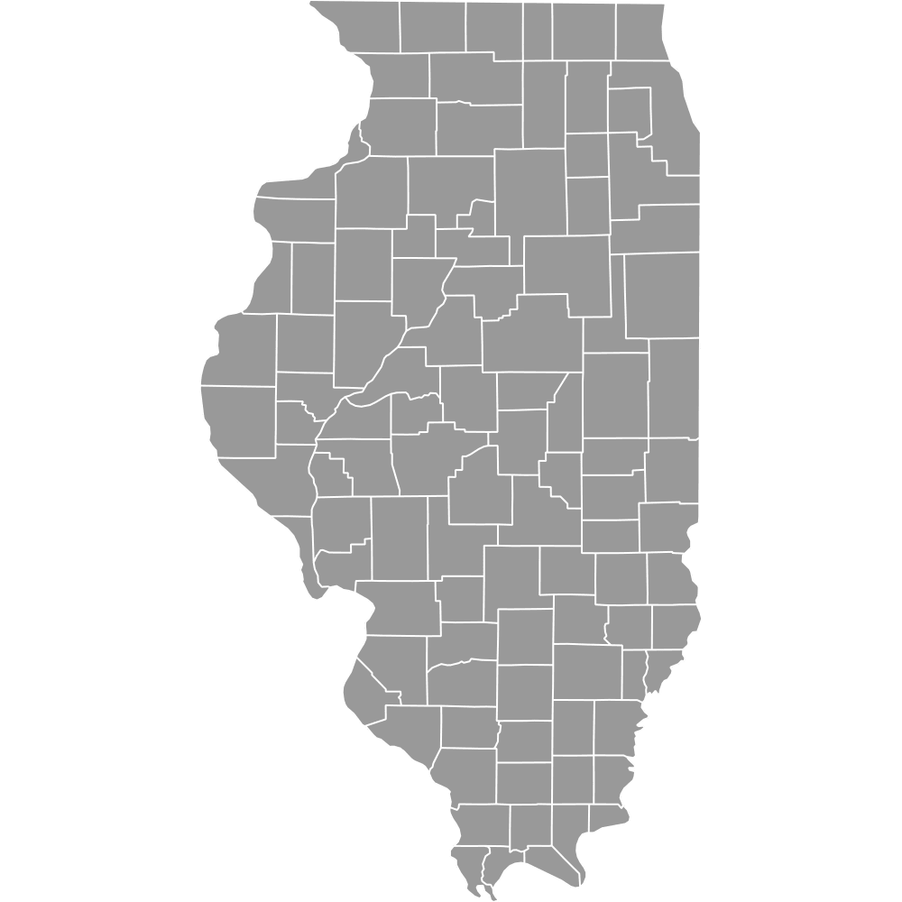
Map of Kentucky Counties
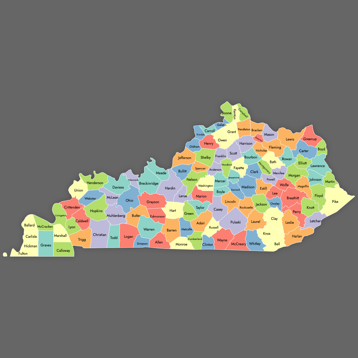
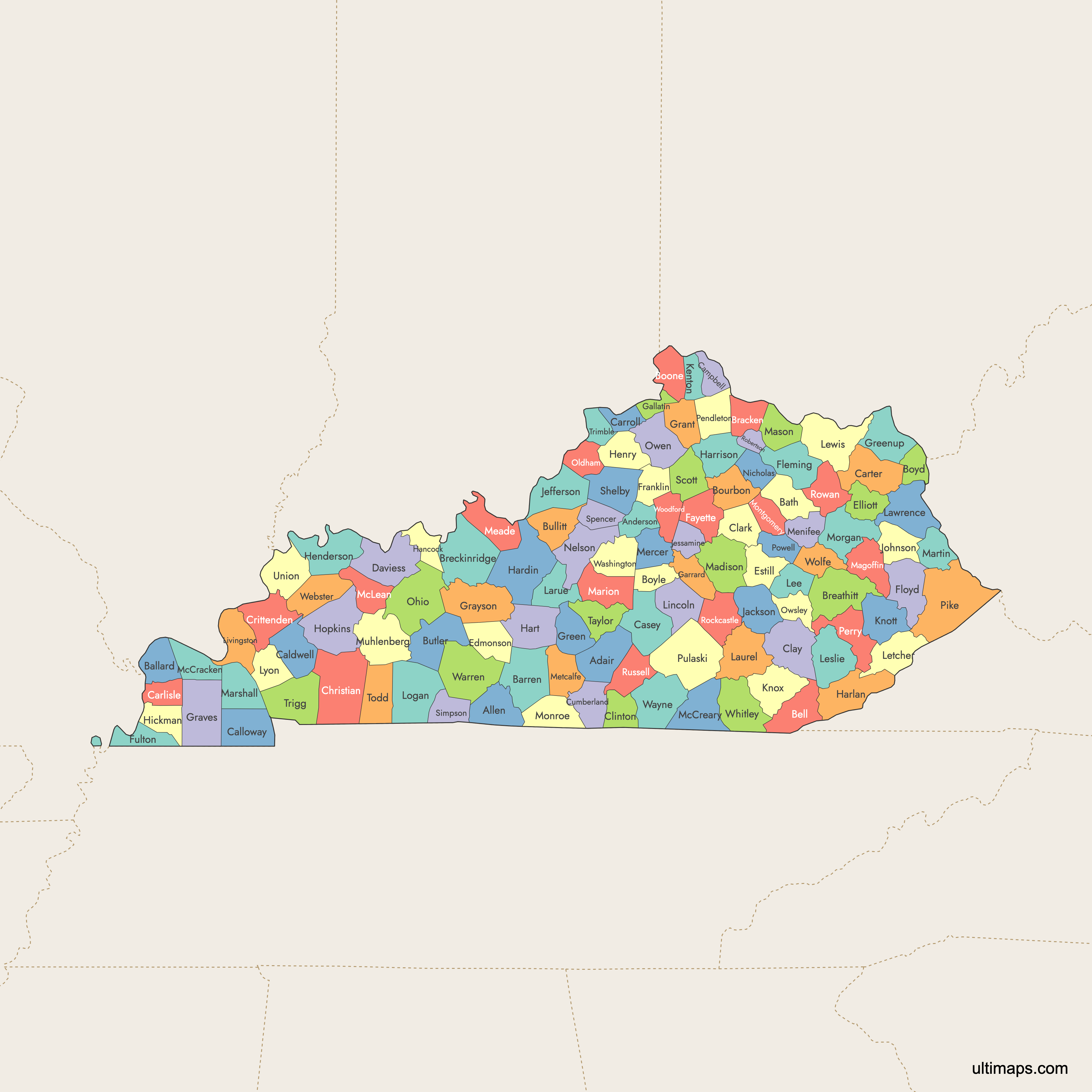
Kentucky is divided into 120 counties, making it the fourth-highest number of counties in the United States. Use the interactive maps below to explore these counties and their boundaries. Download free maps or learn more about creating a custom map of Kentucky to visualize your own data.
Interactive Map of Kentucky Counties
List of Counties (120)
| # | County | County seat | Year founded |
|---|---|---|---|
| 1 | Adair | Columbia | 1802 |
| 2 | Allen | Scottsville | 1815 |
| 3 | Anderson | Lawrenceburg | 1827 |
| 4 | Ballard | Wickliffe | 1842 |
| 5 | Barren | Glasgow | 1798 |
| 6 | Bath | Owingsville | 1811 |
| 7 | Bell | Pineville | 1867 |
| 8 | Boone | Burlington | 1798 |
| 9 | Bourbon | Paris | 1785 |
| 10 | Boyd | Catlettsburg | 1860 |
| 11 | Boyle | Danville | 1842 |
| 12 | Bracken | Brooksville | 1796 |
| 13 | Breathitt | Jackson | 1839 |
| 14 | Breckinridge | Hardinsburg | 1799 |
| 15 | Bullitt | Shepherdsville | 1796 |
| 16 | Butler | Morgantown | 1810 |
| 17 | Caldwell | Princeton | 1809 |
| 18 | Calloway | Murray | 1822 |
| 19 | Campbell | Alexandria and Newport | 1794 |
| 20 | Carlisle | Bardwell | 1886 |
| 21 | Carroll | Carrollton | 1838 |
| 22 | Carter | Grayson | 1838 |
| 23 | Casey | Liberty | 1806 |
| 24 | Christian | Hopkinsville | 1796 |
| 25 | Clark | Winchester | 1792 |
| 26 | Clay | Manchester | 1807 |
| 27 | Clinton | Albany | 1835 |
| 28 | Crittenden | Marion | 1842 |
| 29 | Cumberland | Burkesville | 1798 |
| 30 | Daviess | Owensboro | 1815 |
| 31 | Edmonson | Brownsville | 1825 |
| 32 | Elliott | Sandy Hook | 1869 |
| 33 | Estill | Irvine | 1808 |
| 34 | Fayette | Lexington | 1780 |
| 35 | Fleming | Flemingsburg | 1798 |
| 36 | Floyd | Prestonsburg | 1800 |
| 37 | Franklin | Frankfort | 1794 |
| 38 | Fulton | Hickman | 1845 |
| 39 | Gallatin | Warsaw | 1798 |
| 40 | Garrard | Lancaster | 1796 |
| 41 | Grant | Williamstown | 1820 |
| 42 | Graves | Mayfield | 1824 |
| 43 | Grayson | Leitchfield | 1810 |
| 44 | Green | Greensburg | 1792 |
| 45 | Greenup | Greenup | 1803 |
| 46 | Hancock | Hawesville | 1829 |
| 47 | Hardin | Elizabethtown | 1792 |
| 48 | Harlan | Harlan | 1819 |
| 49 | Harrison | Cynthiana | 1793 |
| 50 | Hart | Munfordville | 1819 |
| 51 | Henderson | Henderson | 1798 |
| 52 | Henry | New Castle | 1798 |
| 53 | Hickman | Clinton | 1821 |
| 54 | Hopkins | Madisonville | 1806 |
| 55 | Jackson | McKee | 1858 |
| 56 | Jefferson | Louisville | 1780 |
| 57 | Jessamine | Nicholasville | 1798 |
| 58 | Johnson | Paintsville | 1843 |
| 59 | Kenton | Covington and Independence | 1840 |
| 60 | Knott | Hindman | 1884 |
| 61 | Knox | Barbourville | 1799 |
| 62 | Larue | Hodgenville | 1843 |
| 63 | Laurel | London | 1825 |
| 64 | Lawrence | Louisa | 1821 |
| 65 | Lee | Beattyville | 1870 |
| 66 | Leslie | Hyden | 1878 |
| 67 | Letcher | Whitesburg | 1842 |
| 68 | Lewis | Vanceburg | 1806 |
| 69 | Lincoln | Stanford | 1780 |
| 70 | Livingston | Smithland | 1799 |
| 71 | Logan | Russellville | 1792 |
| 72 | Lyon | Eddyville | 1854 |
| 73 | Madison | Richmond | 1785 |
| 74 | Magoffin | Salyersville | 1860 |
| 75 | Marion | Lebanon | 1834 |
| 76 | Marshall | Benton | 1842 |
| 77 | Martin | Inez | 1870 |
| 78 | Mason | Maysville | 1788 |
| 79 | McCracken | Paducah | 1825 |
| 80 | McCreary | Whitley City | 1912 |
| 81 | McLean | Calhoun | 1854 |
| 82 | Meade | Brandenburg | 1823 |
| 83 | Menifee | Frenchburg | 1869 |
| 84 | Mercer | Harrodsburg | 1785 |
| 85 | Metcalfe | Edmonton | 1860 |
| 86 | Monroe | Tompkinsville | 1820 |
| 87 | Montgomery | Mount Sterling | 1796 |
| 88 | Morgan | West Liberty | 1822 |
| 89 | Muhlenberg | Greenville | 1798 |
| 90 | Nelson | Bardstown | 1784 |
| 91 | Nicholas | Carlisle | 1799 |
| 92 | Ohio | Hartford | 1798 |
| 93 | Oldham | La Grange | 1823 |
| 94 | Owen | Owenton | 1819 |
| 95 | Owsley | Booneville | 1843 |
| 96 | Pendleton | Falmouth | 1798 |
| 97 | Perry | Hazard | 1820 |
| 98 | Pike | Pikeville | 1821 |
| 99 | Powell | Stanton | 1852 |
| 100 | Pulaski | Somerset | 1798 |
| 101 | Robertson | Mount Olivet | 1867 |
| 102 | Rockcastle | Mount Vernon | 1810 |
| 103 | Rowan | Morehead | 1856 |
| 104 | Russell | Jamestown | 1825 |
| 105 | Scott | Georgetown | 1792 |
| 106 | Shelby | Shelbyville | 1792 |
| 107 | Simpson | Franklin | 1819 |
| 108 | Spencer | Taylorsville | 1824 |
| 109 | Taylor | Campbellsville | 1848 |
| 110 | Todd | Elkton | 1819 |
| 111 | Trigg | Cadiz | 1820 |
| 112 | Trimble | Bedford | 1837 |
| 113 | Union | Morganfield | 1811 |
| 114 | Warren | Bowling Green | 1796 |
| 115 | Washington | Springfield | 1792 |
| 116 | Wayne | Monticello | 1800 |
| 117 | Webster | Dixon | 1860 |
| 118 | Whitley | Williamsburg | 1818 |
| 119 | Wolfe | Campton | 1860 |
| 120 | Woodford | Versailles | 1788 |
Kentucky Counties: Key Facts
- Total number of counties: 120 (4th highest among all U.S. states)
- Most populous county: Jefferson County (Louisville) - approx. 793,881 residents (2024)
- Least populous county: Robertson County - 2,193 (2020)
- Largest county by land area: Pike County - 785.7 square miles (2,035.0 km²)
- Smallest county by area: Robertson County - 100.3 square miles (259.8 km²)
- Counties with major urban centers: Jefferson (Louisville), Fayette (Lexington), Kenton & Boone (part of Cincinnati–Northern Kentucky metro)
- State capital location: Franklin County (Frankfort)
- Time zones: Eastern Time Zone in eastern counties and Central Time Zone in western counties
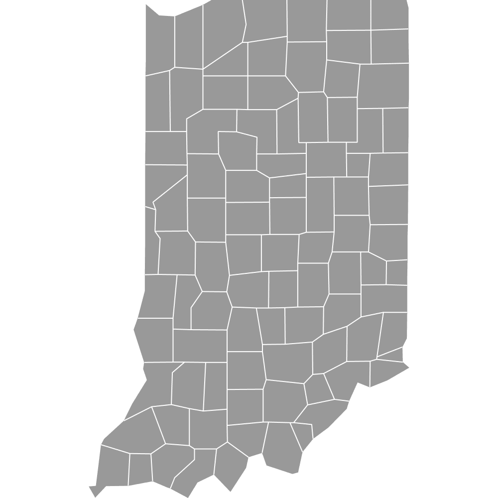
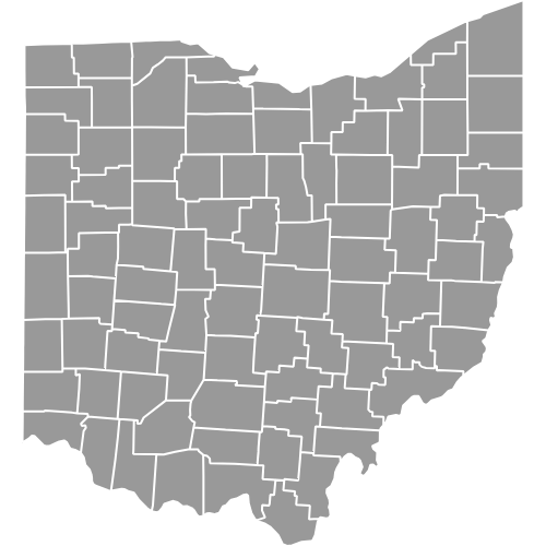
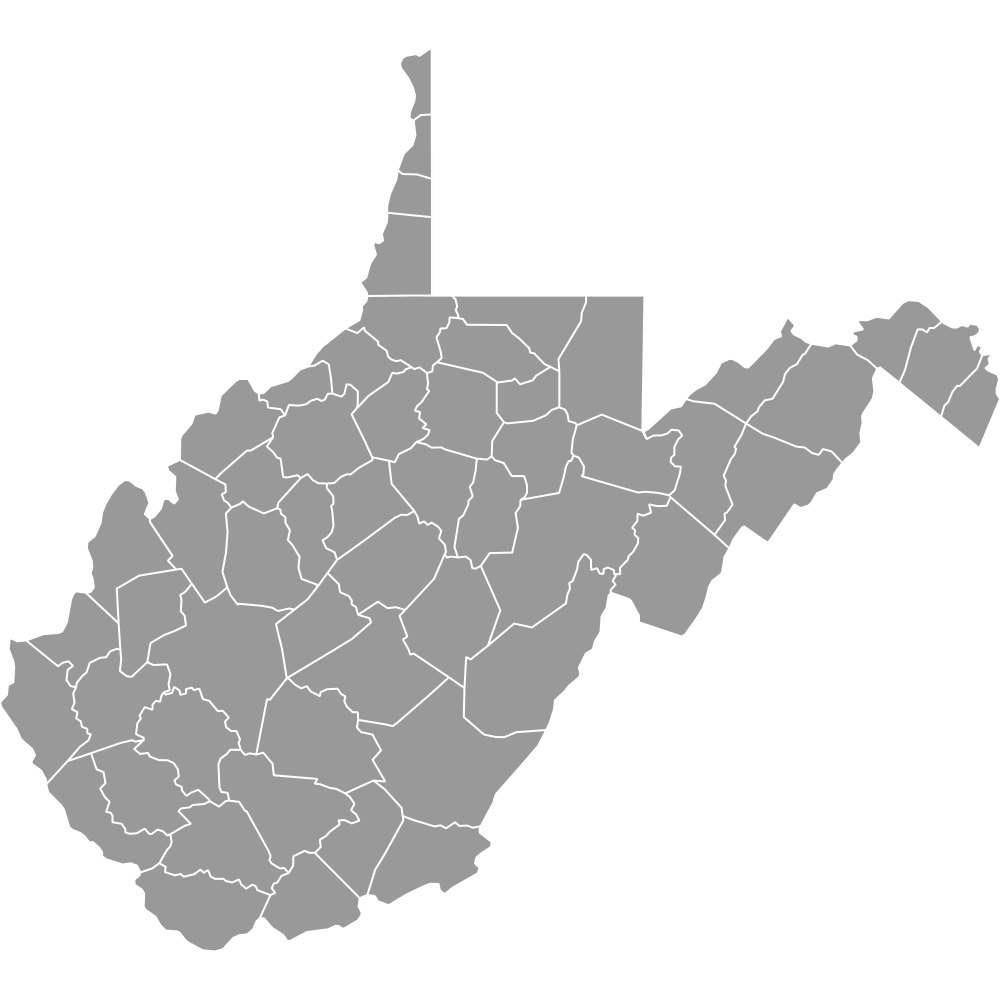
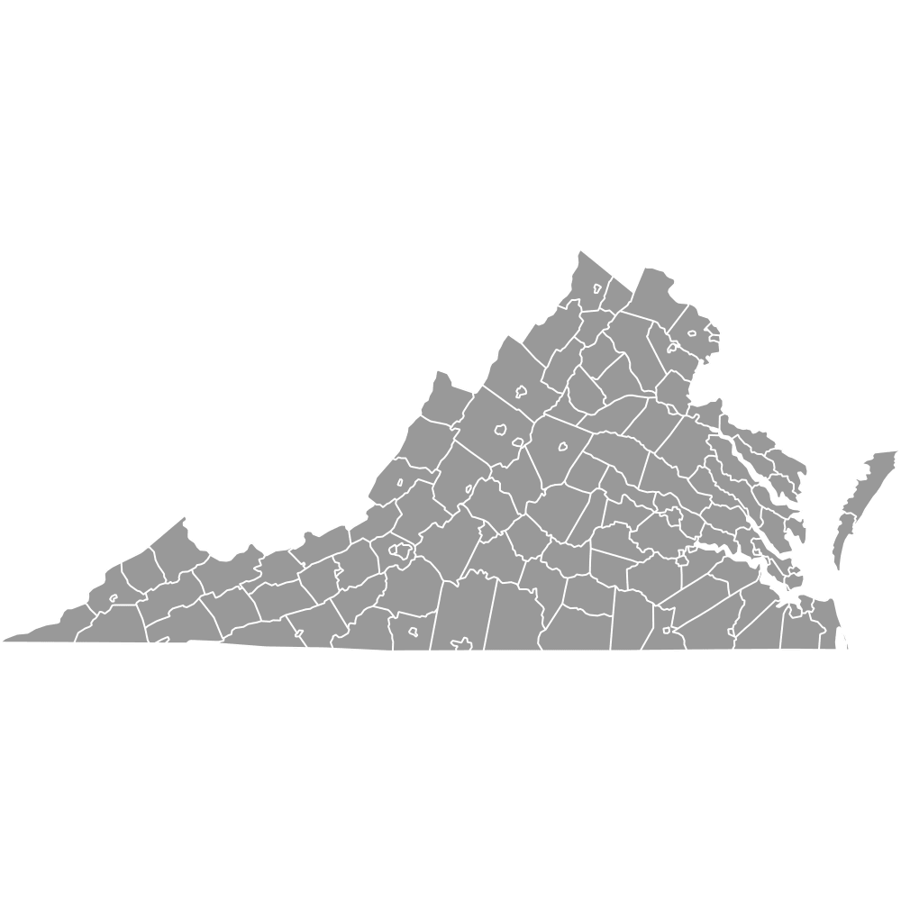
- Neighboring states: Ohio, Indiana, West Virginia, Virginia, Tennessee, Missouri, Illinois
Interesting Facts
- Fourth-most counties in the U.S.: Kentucky’s 120 counties rank fourth in number nationwide.
- Pike County's borders: Borders both Virginia and West Virginia.
- High county density: About one county per 331 square miles.
- Most boundaries were established by 1939, with intensive formation between 1776 and the late 1800s.
Free Downloads
Free for personal and commercial use with a credit to Ultimaps. See the license terms for details.
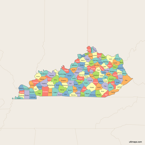 Colored Map of Kentucky Counties with Surrounding Areaspng926 KB
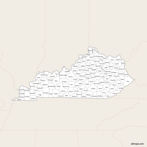 Labeled Map of Kentucky Counties with Surrounding Areaspng893 KB
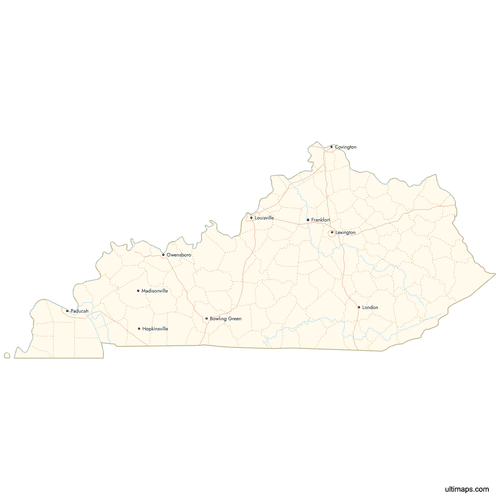 Map of Kentucky Counties with Citiespng716 KB
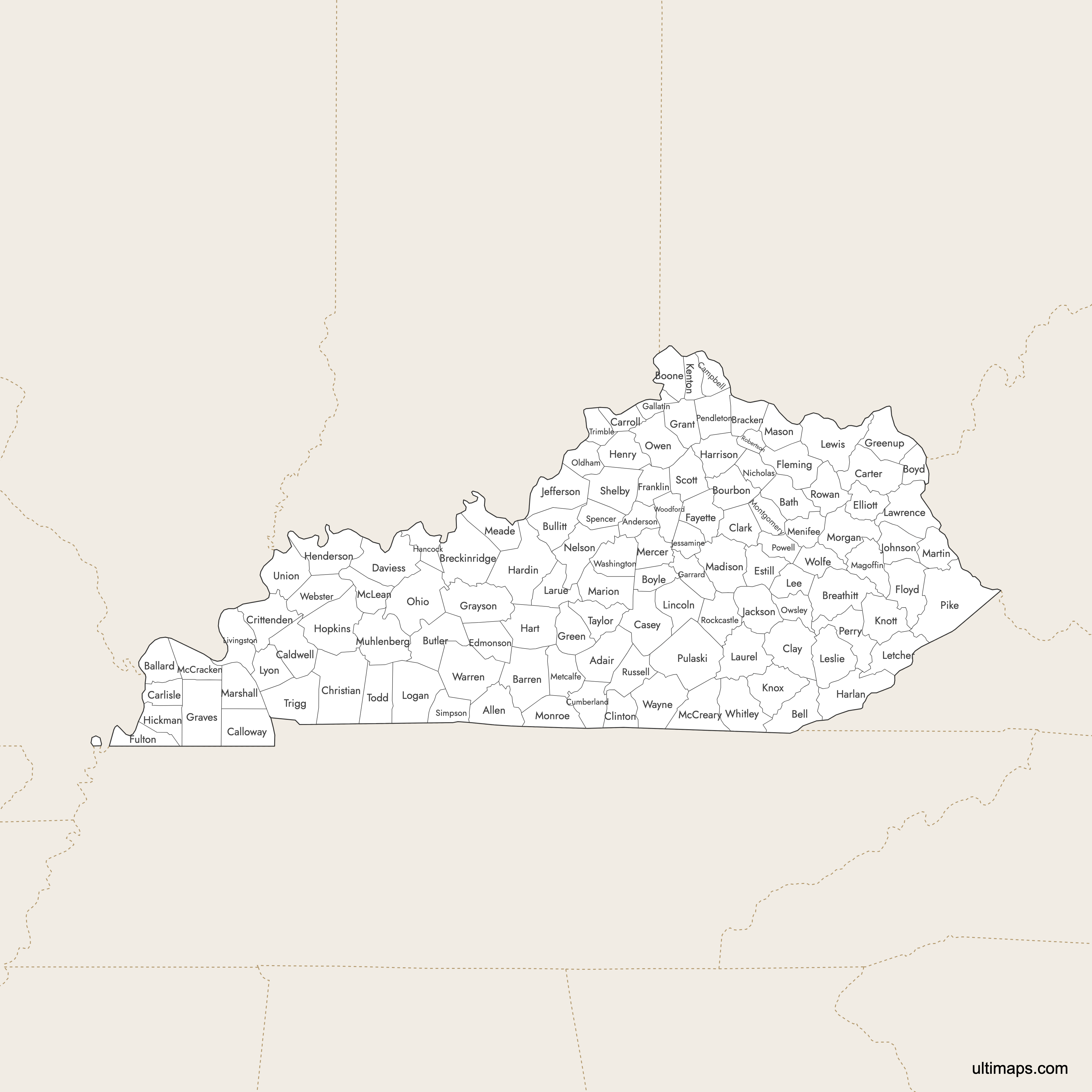
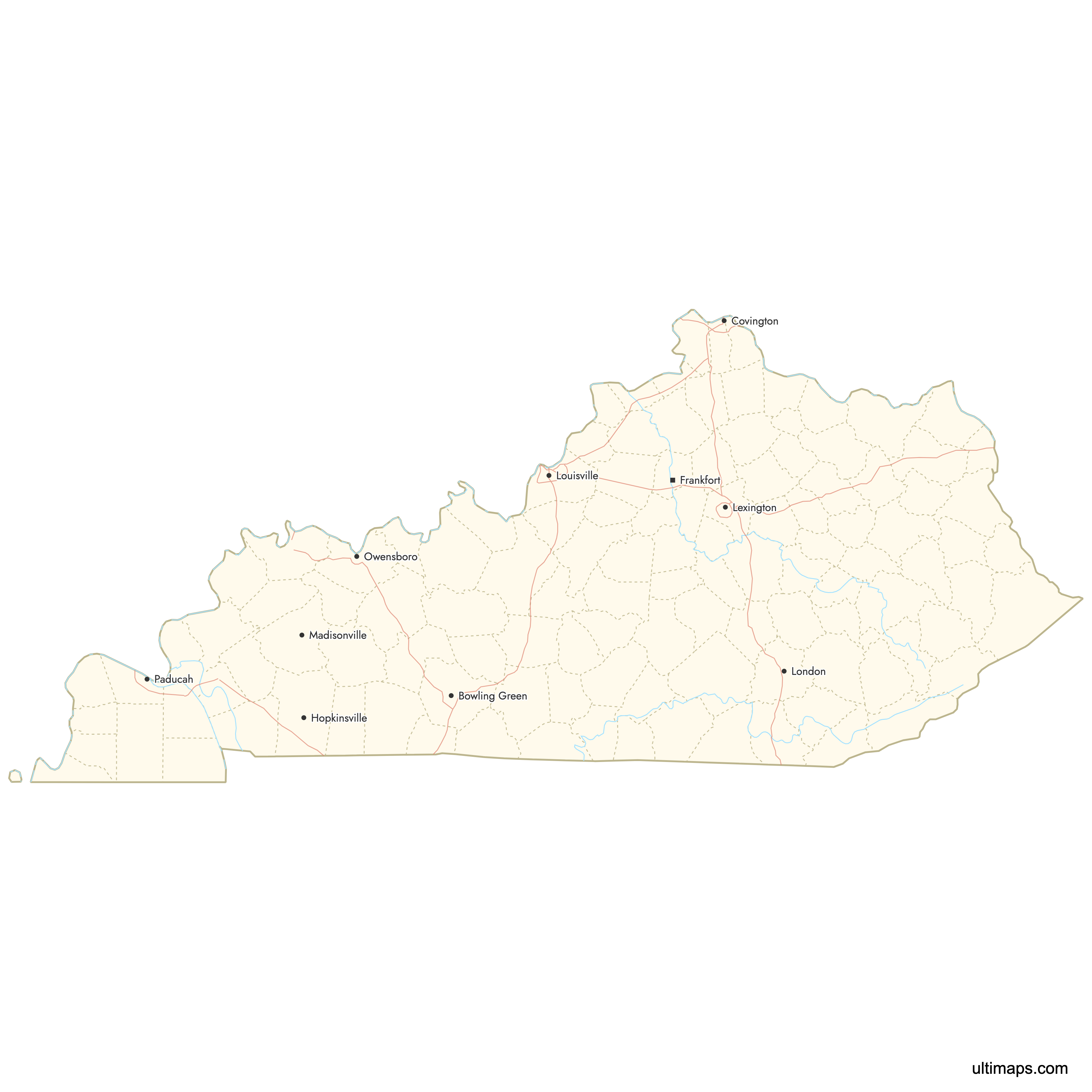
Need it without colors? The blank version of this map comes as a print-ready PDF (A4 and US Letter), a PNG and an editable SVG.
Custom Map Features
This map supports labels.
This map supports surrounding areas, roads, rivers and cities. New
This map is divided into 120 counties.
Updates
Aug 27, 2025:
- Improved map quality
- Added support for surrounding areas and lakes
Aug 26, 2024:
- Added map of Kentucky Counties
Frequently Asked Questions
Kentucky has 120 counties, the fourth-highest number among U.S. states. This reflects historical settlement patterns from the late 18th and 19th centuries.
Pike County is the largest, covering 785.7 square miles. It is located in eastern Kentucky and borders both Virginia and West Virginia.
Robertson County is the smallest, with an area of 100.3 square miles. It is also the least populated county in Kentucky.
Jefferson County has the largest population (793,881 as of 2024), including the city of Louisville, Kentucky's largest city.
Robertson County has the smallest population, with approx. 2,193 residents (2020).
Major urban counties include Jefferson (Louisville), Fayette (Lexington), and Kenton & Boone (part of the Cincinnati–Northern Kentucky metro area).
Use Ultimaps to create custom maps of Kentucky. Color-code counties manually or upload data, place pins, customize look and feel, and export to PNG, PDF, or SVG.