Map of Tennessee Counties
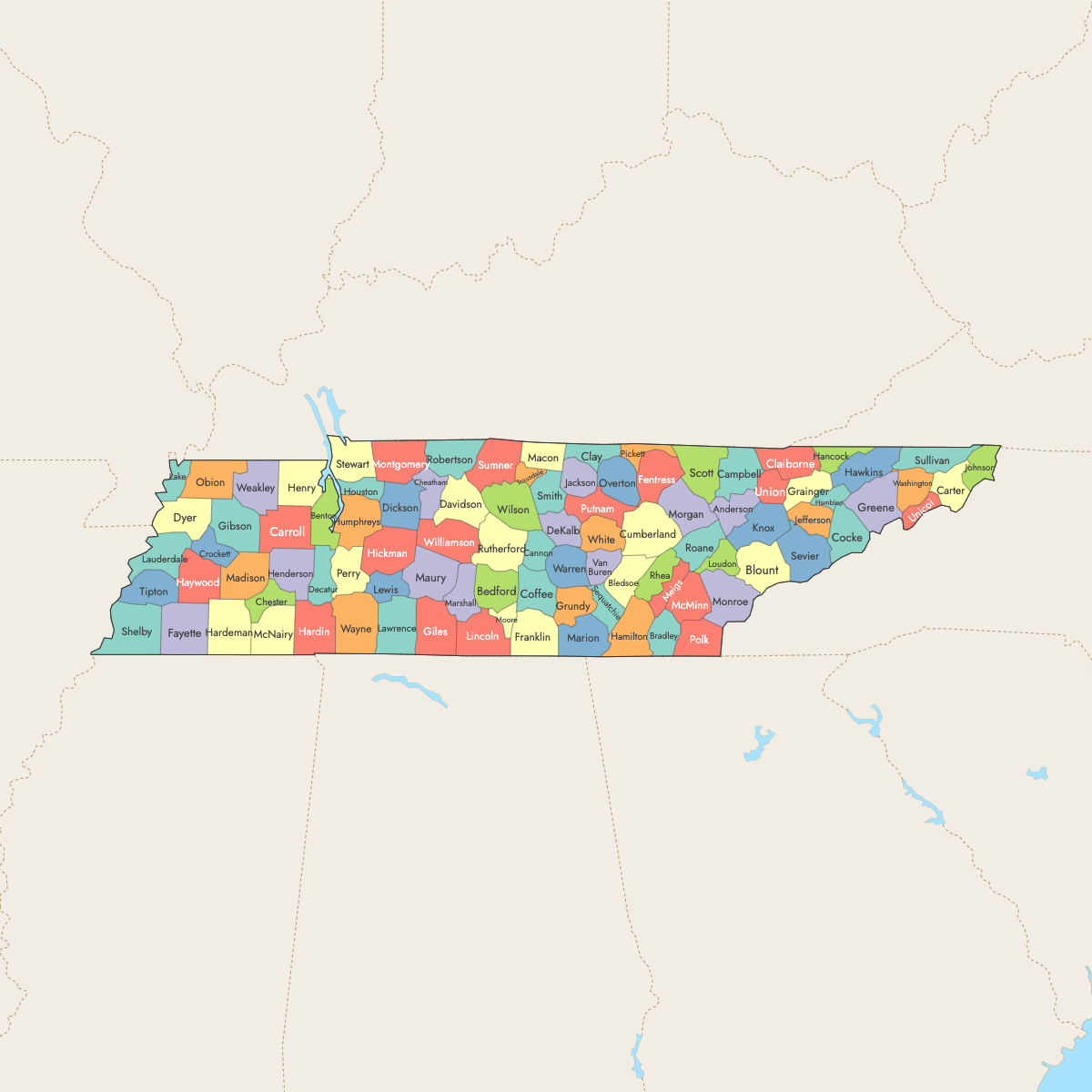
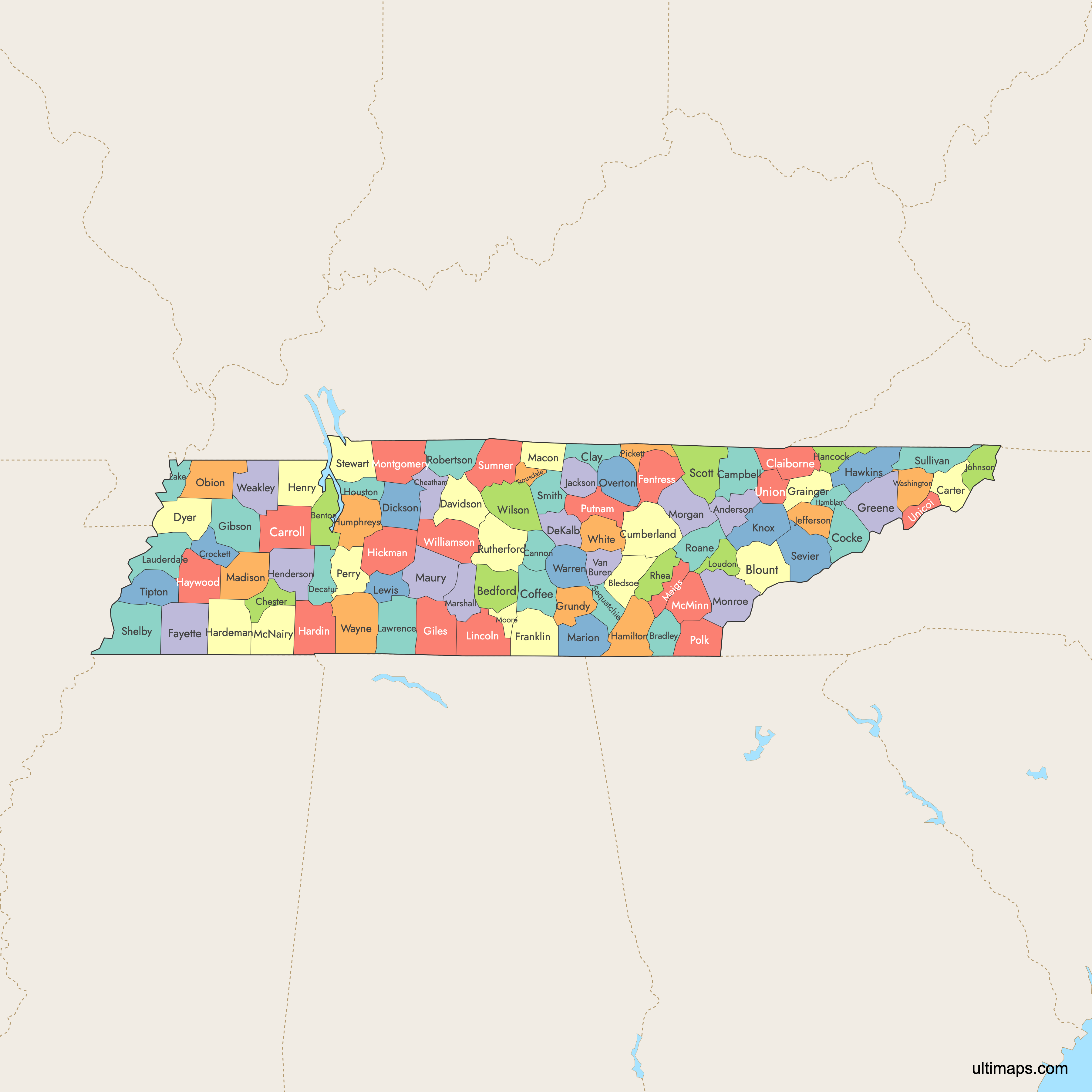
Tennessee is divided into 95 counties, each serving as an administrative unit within the state. Use the interactive maps below to explore the counties and their boundaries. Download free maps or learn more about creating a custom map of Tennessee to visualize your own data.
Interactive Map of Tennessee Counties
List of Counties (95)
| # | County | County seat | Year founded |
|---|---|---|---|
| 1 | Anderson | Clinton | 1801 |
| 2 | Bedford | Shelbyville | 1807 |
| 3 | Benton | Camden | 1835 |
| 4 | Bledsoe | Pikeville | 1807 |
| 5 | Blount | Maryville | 1795 |
| 6 | Bradley | Cleveland | 1836 |
| 7 | Campbell | Jacksboro | 1806 |
| 8 | Cannon | Woodbury | 1836 |
| 9 | Carroll | Huntingdon | 1821 |
| 10 | Carter | Elizabethton | 1796 |
| 11 | Cheatham | Ashland City | 1856 |
| 12 | Chester | Henderson | 1879 |
| 13 | Claiborne | Tazewell | 1801 |
| 14 | Clay | Celina | 1870 |
| 15 | Cocke | Newport | 1797 |
| 16 | Coffee | Manchester | 1836 |
| 17 | Crockett | Alamo | 1871 |
| 18 | Cumberland | Crossville | 1855 |
| 19 | Davidson | Nashville | 1783 |
| 20 | Decatur | Decaturville | 1845 |
| 21 | DeKalb | Smithville | 1837 |
| 22 | Dickson | Charlotte | 1803 |
| 23 | Dyer | Dyersburg | 1823 |
| 24 | Fayette | Somerville | 1824 |
| 25 | Fentress | Jamestown | 1823 |
| 26 | Franklin | Winchester | 1807 |
| 27 | Gibson | Trenton | 1823 |
| 28 | Giles | Pulaski | 1809 |
| 29 | Grainger | Rutledge | 1796 |
| 30 | Greene | Greeneville | 1783 |
| 31 | Grundy | Altamont | 1844 |
| 32 | Hamblen | Morristown | 1870 |
| 33 | Hamilton | Chattanooga | 1819 |
| 34 | Hancock | Sneedville | 1844 |
| 35 | Hardeman | Bolivar | 1823 |
| 36 | Hardin | Savannah | 1819 |
| 37 | Hawkins | Rogersville | 1786 |
| 38 | Haywood | Brownsville | 1823 |
| 39 | Henderson | Lexington | 1821 |
| 40 | Henry | Paris | 1821 |
| 41 | Hickman | Centerville | 1807 |
| 42 | Houston | Erin | 1871 |
| 43 | Humphreys | Waverly | 1809 |
| 44 | Jackson | Gainesboro | 1801 |
| 45 | Jefferson | Dandridge | 1792 |
| 46 | Johnson | Mountain City | 1836 |
| 47 | Knox | Knoxville | 1792 |
| 48 | Lake | Tiptonville | 1870 |
| 49 | Lauderdale | Ripley | 1835 |
| 50 | Lawrence | Lawrenceburg | 1817 |
| 51 | Lewis | Hohenwald | 1843 |
| 52 | Lincoln | Fayetteville | 1809 |
| 53 | Loudon | Loudon | 1870 |
| 54 | Macon | Lafayette | 1842 |
| 55 | Madison | Jackson | 1821 |
| 56 | Marion | Jasper | 1817 |
| 57 | Marshall | Lewisburg | 1836 |
| 58 | Maury | Columbia | 1807 |
| 59 | McMinn | Athens | 1819 |
| 60 | McNairy | Selmer | 1823 |
| 61 | Meigs | Decatur | 1836 |
| 62 | Monroe | Madisonville | 1819 |
| 63 | Montgomery | Clarksville | 1796 |
| 64 | Moore | Lynchburg | 1871 |
| 65 | Morgan | Wartburg | 1817 |
| 66 | Obion | Union City | 1823 |
| 67 | Overton | Livingston | 1806 |
| 68 | Perry | Linden | 1819 |
| 69 | Pickett | Byrdstown | 1879 |
| 70 | Polk | Benton | 1839 |
| 71 | Putnam | Cookeville | 1854 |
| 72 | Rhea | Dayton | 1807 |
| 73 | Roane | Kingston | 1801 |
| 74 | Robertson | Springfield | 1796 |
| 75 | Rutherford | Murfreesboro | 1803 |
| 76 | Scott | Huntsville | 1849 |
| 77 | Sequatchie | Dunlap | 1857 |
| 78 | Sevier | Sevierville | 1794 |
| 79 | Shelby | Memphis | 1819 |
| 80 | Smith | Carthage | 1799 |
| 81 | Stewart | Dover | 1803 |
| 82 | Sullivan | Blountville | 1779 |
| 83 | Sumner | Gallatin | 1786 |
| 84 | Tipton | Covington | 1823 |
| 85 | Trousdale | Hartsville | 1870 |
| 86 | Unicoi | Erwin | 1875 |
| 87 | Union | Maynardville | 1850 |
| 88 | Van Buren | Spencer | 1840 |
| 89 | Warren | McMinnville | 1807 |
| 90 | Washington | Jonesborough | 1777 |
| 91 | Wayne | Waynesboro | 1817 |
| 92 | Weakley | Dresden | 1823 |
| 93 | White | Sparta | 1806 |
| 94 | Williamson | Franklin | 1799 |
| 95 | Wilson | Lebanon | 1799 |
Tennessee Counties: Key Facts
- Total number of counties: 95
- Largest county by area: Monroe County - 635 square miles (1,645 km²)
- Smallest county by area: Moore County - 129 square miles (334 km²)
- Most populous county: Shelby County - 910,530 residents (2024 estimate)
- Least populous county: Lake County - 6,422 residents (2024 estimate)
- Counties with significant urban centers: Shelby County (Memphis), Davidson County (Nashville), Knox County (Knoxville)
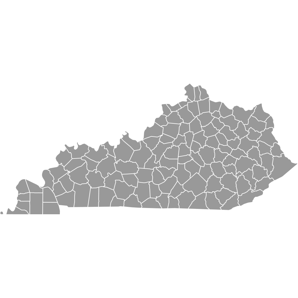
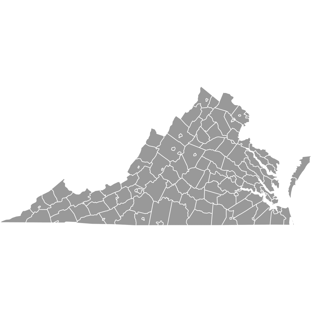
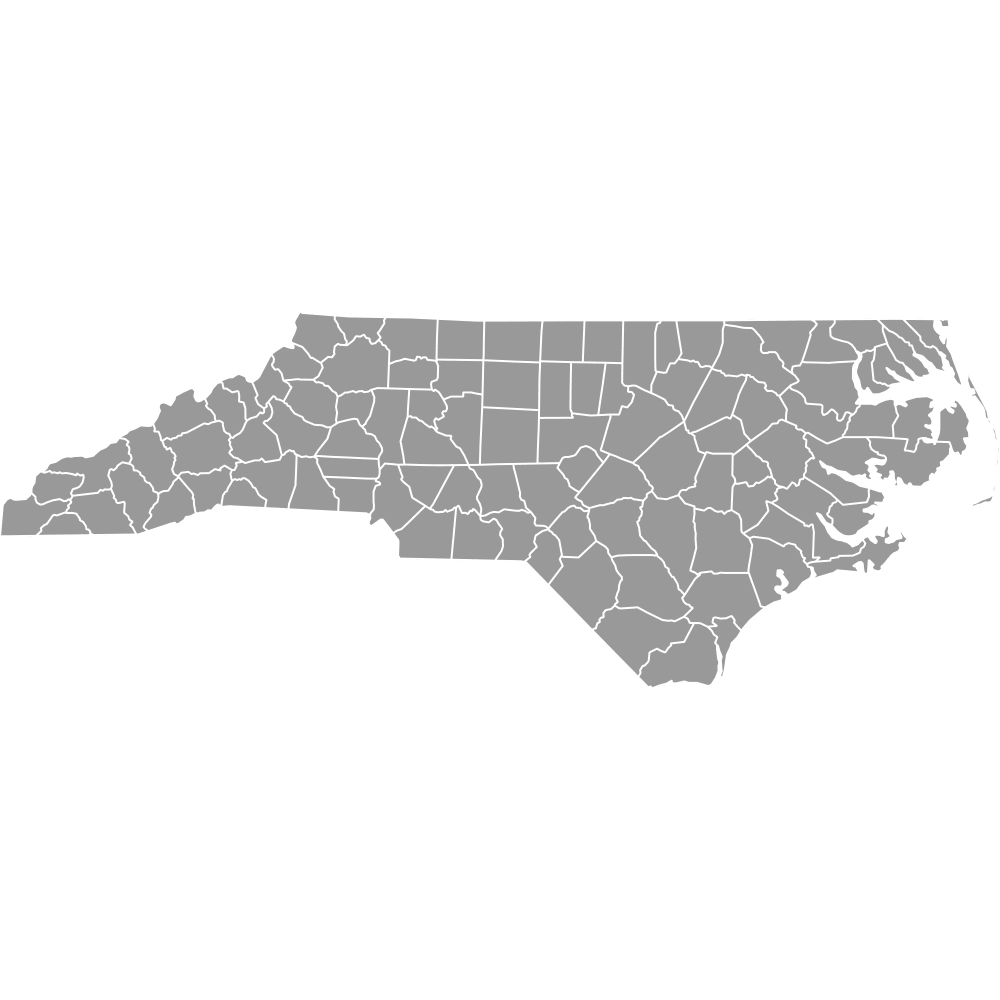
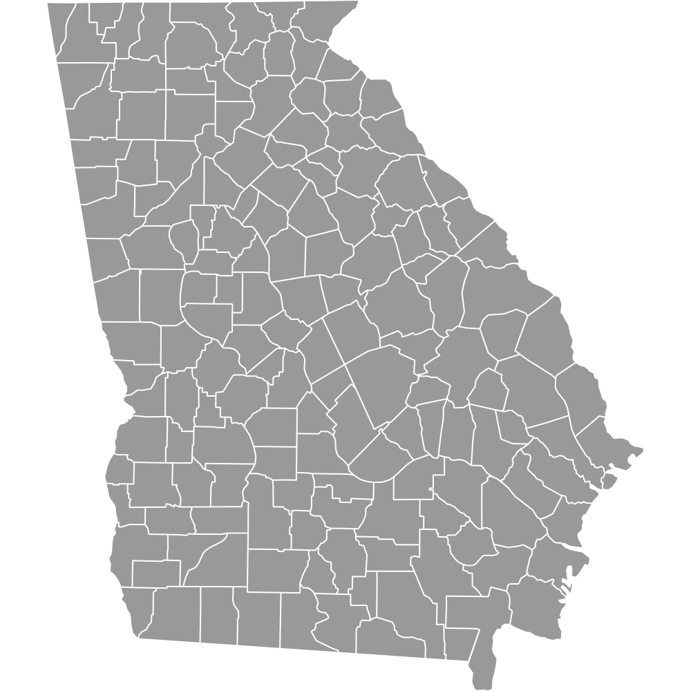
- Neighboring states: Kentucky, Virginia, North Carolina, Georgia, Alabama, Mississippi, Arkansas, Missouri
- Time zones: Primarily in the Eastern Time Zone with some western counties in the Central Time Zone unofficially
Interesting Facts
- Oldest counties: Hawkins County (1787), Jefferson County (1792), Knox County (1792)
- Moore County is home to the Jack Daniel's Distillery but is a dry county.
- Lake County is named after Reelfoot Lake, formed by historic earthquakes.
- Unicoi County's name reflects the misty Appalachian Mountains.
- Sequatchie County is known as a 'valley within a valley.'
Free Downloads
Free for personal and commercial use with a credit to Ultimaps. See the license terms for details.
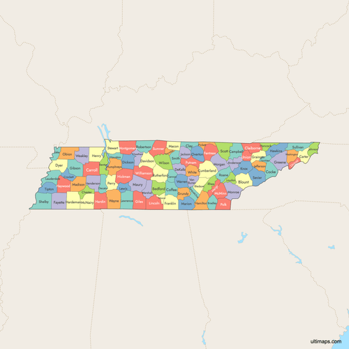 Colored Map of Tennessee Counties with Surrounding Areaspng823 KB
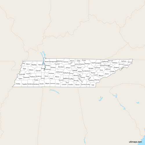 Labeled Map of Tennessee Counties with Surrounding Areaspng790 KB
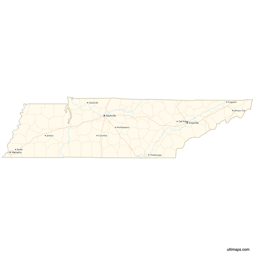 Map of Tennessee Counties with Citiespng527 KB
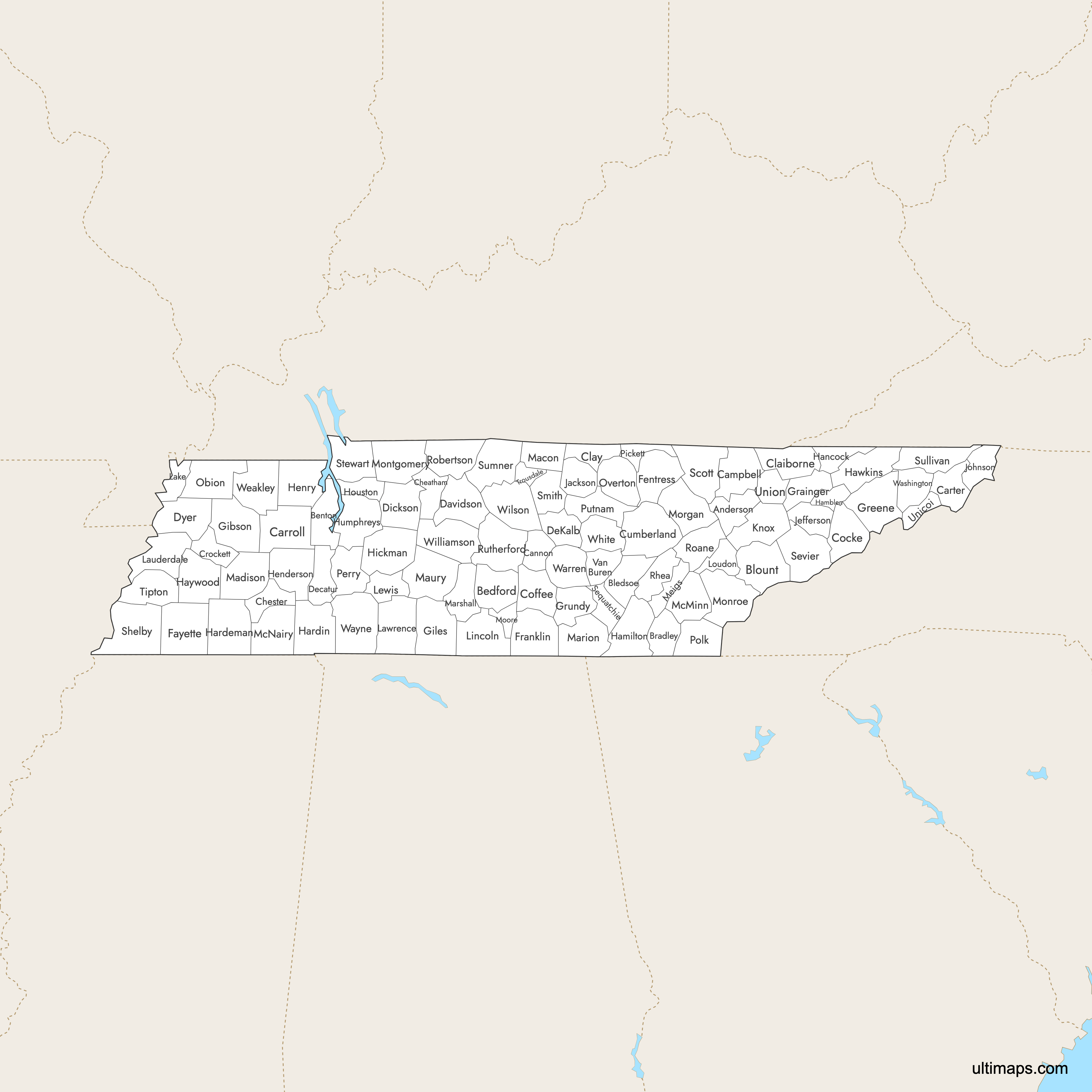
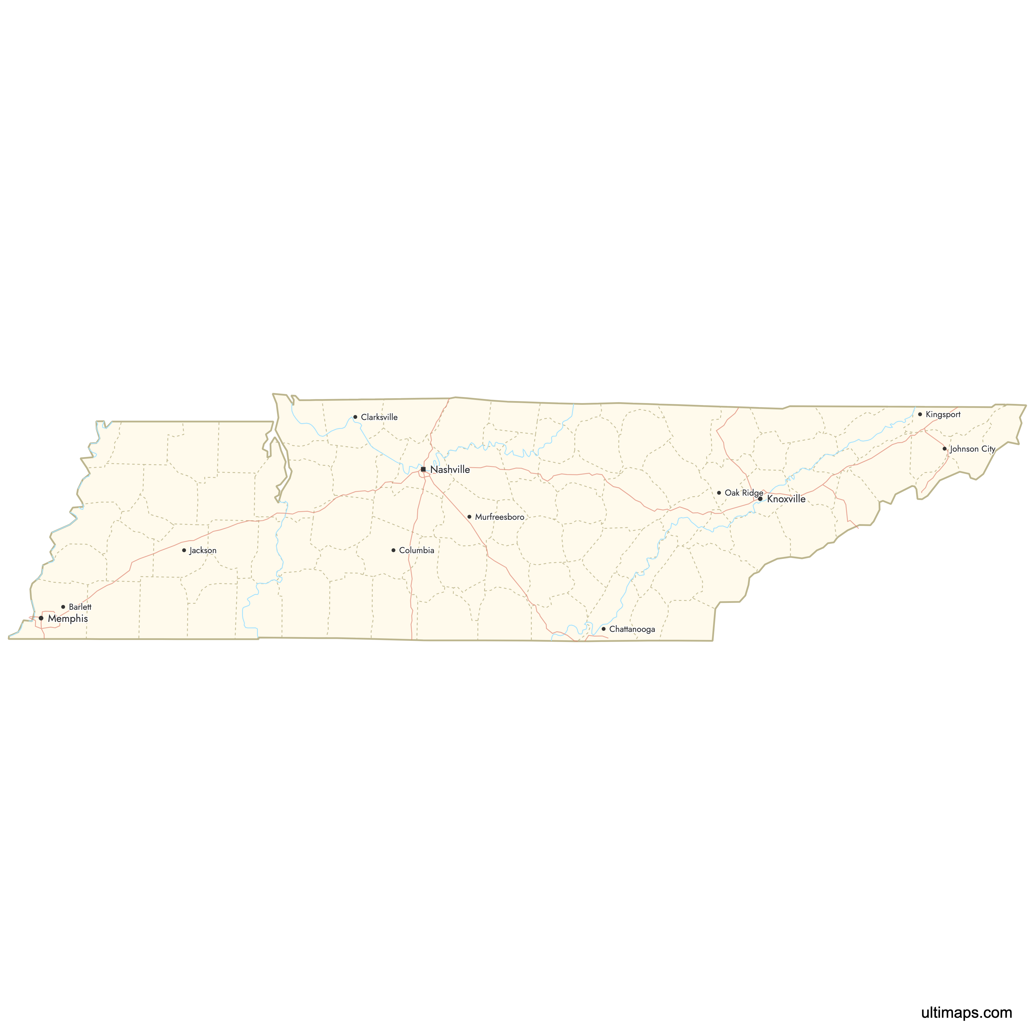
Need it without colors? The blank version of this map comes as a print-ready PDF (A4 and US Letter), a PNG and an editable SVG.
Custom Map Features
This map supports labels.
This map supports surrounding areas, roads, rivers and cities. New
This map is divided into 95 counties.
Updates
Feb 2, 2026:
- Improved map quality
- Added support for surrounding areas and lakes
Aug 26, 2024:
- Added map of Tennessee Counties
Frequently Asked Questions
Tennessee has exactly 95 counties, divided into four regions by the Tennessee Department of Transportation.
Monroe County is the largest by area at 635 square miles (1,645 km²).
Shelby County, home to Memphis, is the most populous with 910,530 residents.
Moore County is the smallest at 129 square miles (334 km²).
Lake County has the smallest population with 6,422 residents.
Tennessee shares borders with Kentucky, Virginia, North Carolina, Georgia, Alabama, Mississippi, Arkansas, and Missouri.
You can use Ultimaps to create custom maps of Tennessee. Color-code counties manually or upload data, place pins, customize the look and feel, and export to PNG, PDF, or SVG.