Map of Virginia Counties
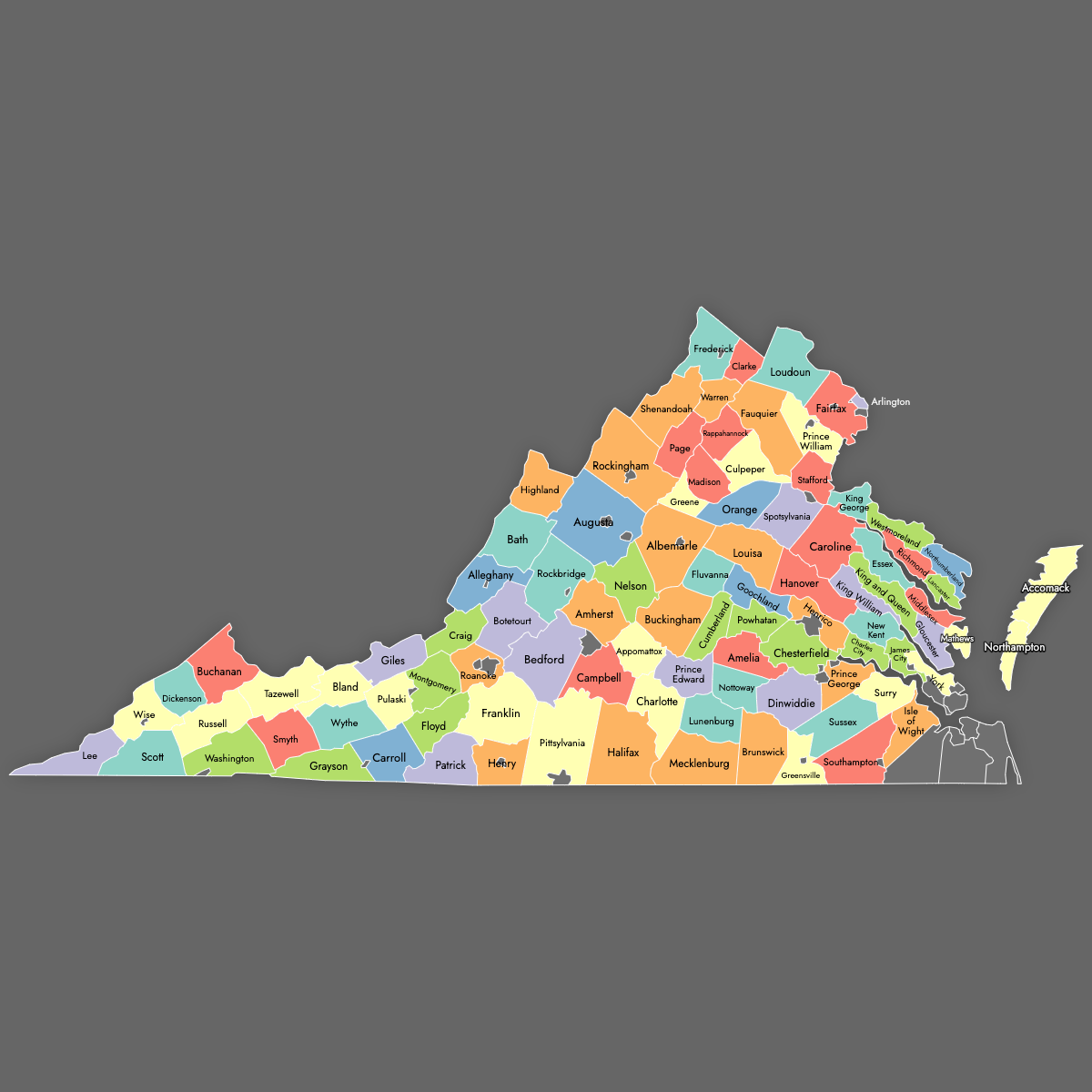
Virginia is divided into 95 counties and 38 independent cities, each functioning as county-equivalents for census and administration. Use the interactive maps below to explore these regions and their boundaries. Download free maps or learn more about creating a custom map of Virginia to visualize your own data.
Interactive Map of Virginia Counties
List of Counties (95)
| # | County | County seat | Year founded |
|---|---|---|---|
| 1 | Accomack | Accomac | 1663 |
| 2 | Albemarle | Charlottesville | 1744 |
| 3 | Alleghany | Covington | 1822 |
| 4 | Amelia | Amelia | 1735 |
| 5 | Amherst | Amherst | 1761 |
| 6 | Appomattox | Appomattox | 1845 |
| 7 | Arlington | Arlington | 1846 |
| 8 | Augusta | Staunton | 1738 |
| 9 | Bath | Warm Springs | 1791 |
| 10 | Bedford | Bedford | 1754 |
| 11 | Bland | Bland | 1861 |
| 12 | Botetourt | Fincastle | 1770 |
| 13 | Brunswick | Lawrenceville | 1720 |
| 14 | Buchanan | Grundy | 1858 |
| 15 | Buckingham | Buckingham | 1761 |
| 16 | Campbell | Rustburg | 1782 |
| 17 | Caroline | Bowling Green | 1728 |
| 18 | Carroll | Hillsville | 1842 |
| 19 | Charles City | Charles City | 1634 |
| 20 | Charlotte | Charlotte Court House | 1765 |
| 21 | Chesterfield | Chesterfield | 1749 |
| 22 | Clarke | Berryville | 1836 |
| 23 | Craig | New Castle | 1851 |
| 24 | Culpeper | Culpeper | 1749 |
| 25 | Cumberland | Cumberland | 1749 |
| 26 | Dickenson | Clintwood | 1880 |
| 27 | Dinwiddie | Dinwiddie | 1752 |
| 28 | Essex | Tappahannock | 1692 |
| 29 | Fairfax | Fairfax | 1742 |
| 30 | Fauquier | Warrenton | 1759 |
| 31 | Floyd | Floyd | 1831 |
| 32 | Fluvanna | Palmyra | 1777 |
| 33 | Franklin | Rocky Mount | 1786 |
| 34 | Frederick | Winchester | 1738 |
| 35 | Giles | Pearisburg | 1806 |
| 36 | Gloucester | Gloucester | 1651 |
| 37 | Goochland | Goochland | 1728 |
| 38 | Grayson | Independence | 1793 |
| 39 | Greene | Stanardsville | 1838 |
| 40 | Greensville | Emporia | 1781 |
| 41 | Halifax | Halifax | 1752 |
| 42 | Hanover | Hanover | 1721 |
| 43 | Henrico | Laurel | 1617 |
| 44 | Henry | Martinsville | 1777 |
| 45 | Highland | Monterey | 1847 |
| 46 | Isle of Wight | Isle of Wight | 1634 |
| 47 | James City | Williamsburg | 1617 |
| 48 | King and Queen | King and Queen | 1691 |
| 49 | King George | King George | 1721 |
| 50 | King William | King William | 1702 |
| 51 | Lancaster | Lancaster | 1651 |
| 52 | Lee | Jonesville | 1793 |
| 53 | Loudoun | Leesburg | 1757 |
| 54 | Louisa | Louisa | 1742 |
| 55 | Lunenburg | Lunenburg | 1746 |
| 56 | Madison | Madison | 1793 |
| 57 | Mathews | Mathews | 1791 |
| 58 | Mecklenburg | Boydton | 1765 |
| 59 | Middlesex | Saluda | 1673 |
| 60 | Montgomery | Christiansburg | 1777 |
| 61 | Nelson | Lovingston | 1808 |
| 62 | New Kent | New Kent | 1654 |
| 63 | Northampton | Eastville | 1634 |
| 64 | Northumberland | Heathsville | 1648 |
| 65 | Nottoway | Nottoway | 1789 |
| 66 | Orange | Orange | 1734 |
| 67 | Page | Luray | 1831 |
| 68 | Patrick | Stuart | 1791 |
| 69 | Pittsylvania | Chatham | 1767 |
| 70 | Powhatan | Powhatan | 1777 |
| 71 | Prince Edward | Farmville | 1754 |
| 72 | Prince George | Prince George | 1703 |
| 73 | Prince William | Manassas | 1731 |
| 74 | Pulaski | Pulaski | 1839 |
| 75 | Rappahannock | Washington | 1833 |
| 76 | Richmond | Warsaw | 1692 |
| 77 | Roanoke | Salem | 1838 |
| 78 | Rockbridge | Lexington | 1778 |
| 79 | Rockingham | Harrisonburg | 1778 |
| 80 | Russell | Lebanon | 1786 |
| 81 | Scott | Gate City | 1814 |
| 82 | Shenandoah | Woodstock | 1772 |
| 83 | Smyth | Marion | 1832 |
| 84 | Southampton | Courtland | 1749 |
| 85 | Spotsylvania | Spotsylvania Courthouse | 1721 |
| 86 | Stafford | Stafford | 1664 |
| 87 | Surry | Surry | 1652 |
| 88 | Sussex | Sussex | 1754 |
| 89 | Tazewell | Tazewell | 1800 |
| 90 | Warren | Front Royal | 1836 |
| 91 | Washington | Abingdon | 1777 |
| 92 | Westmoreland | Montross | 1653 |
| 93 | Wise | Wise | 1856 |
| 94 | Wythe | Wytheville | 1790 |
| 95 | York | Yorktown | 1634 |
Virginia Counties: Key Facts
- Total number of counties: 95 counties
- Independent cities (county-equivalents): 38, totaling 133 county-level units
- Largest county by area: Pittsylvania County - 978 square miles (2,533 km²)
- Smallest county by area: Arlington County - 26 square miles (67 km²)
- Most populous county: Fairfax County - 1,150,309 residents
- Least populous county: Highland County - 2,232 residents
- Most populous independent city: Virginia Beach - 459,470 residents
- Least populous independent city: Norton - 2,687 residents
- State capital (independent city): Richmond, population 226,610
- Total state area: approximately 42,775 square miles (110,787 km²)
- Time zone: Eastern Time (ET)
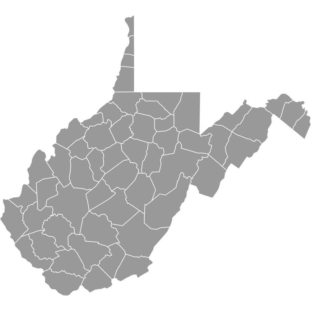
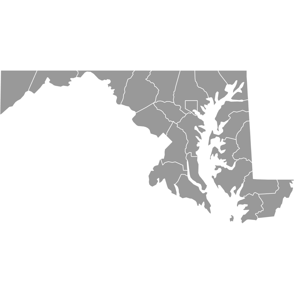
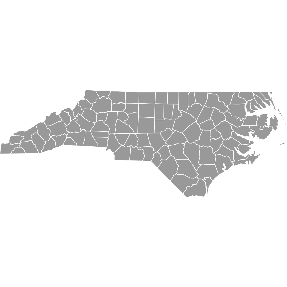
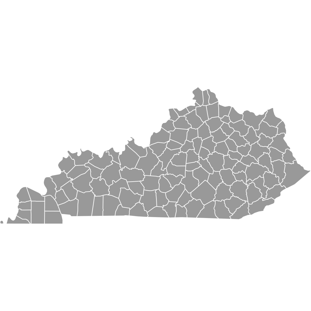
- Bordering states: Maryland, North Carolina, Tennessee, Kentucky, West Virginia and District of Columbia (D.C.)
Interesting and Fun Facts
- Independent cities system: Virginia has the largest number of independent cities in the U.S.
- Third-most county-level units: With 133 county-level units, Virginia ranks third in the U.S.
- Extreme population contrast: Fairfax County has over 500 times the population of Highland County in a slightly smaller area.
- Highland County: Known as “Virginia’s Switzerland” due to its mountainous terrain and low population density.
- Pittsylvania County: Bigger in land area than the entire state of Rhode Island.
Free Downloads
Free for personal and commercial use with a credit to Ultimaps. See the license terms for details.
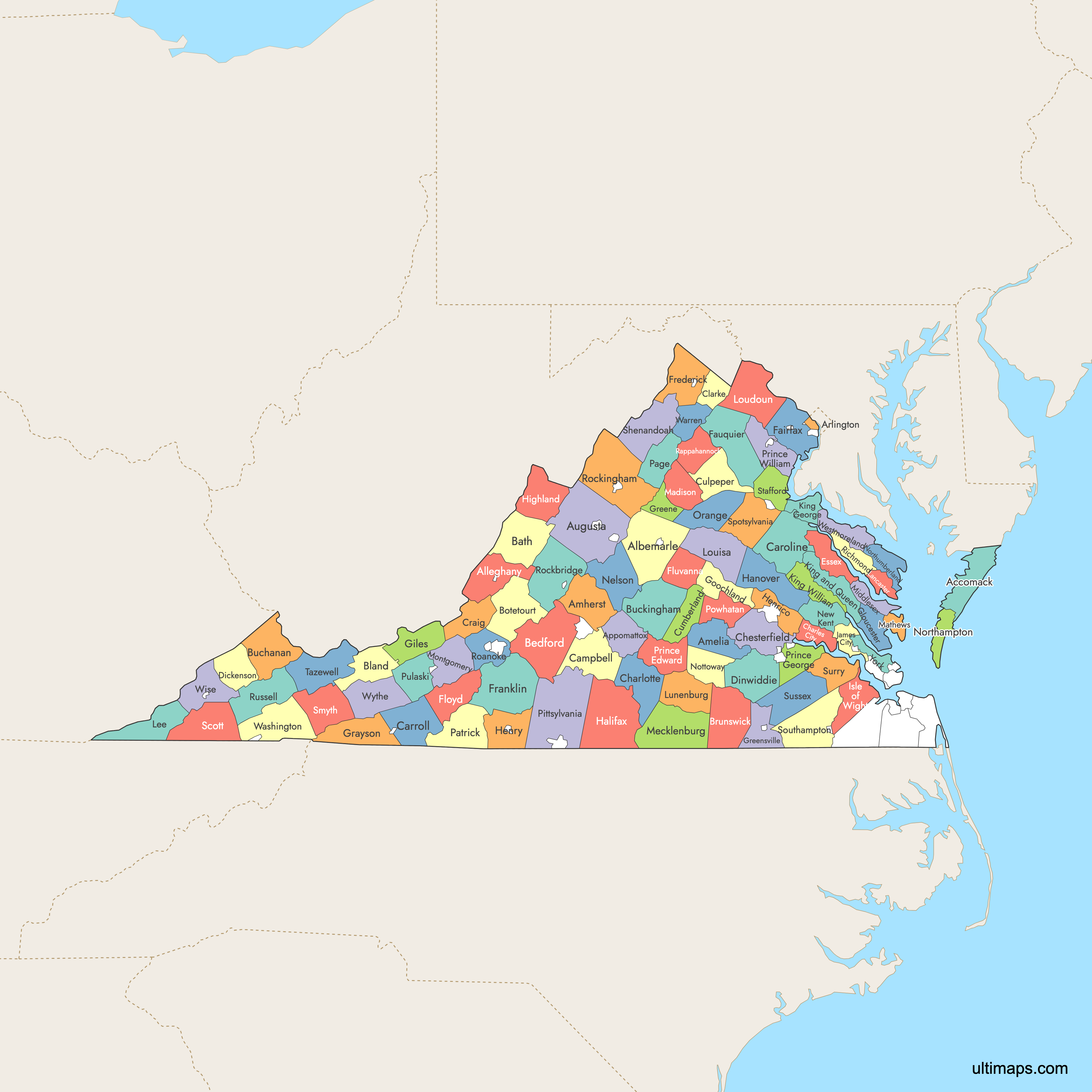
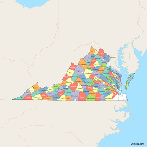 Colored Map of Virginia Counties with Surrounding Areaspng1160 KB
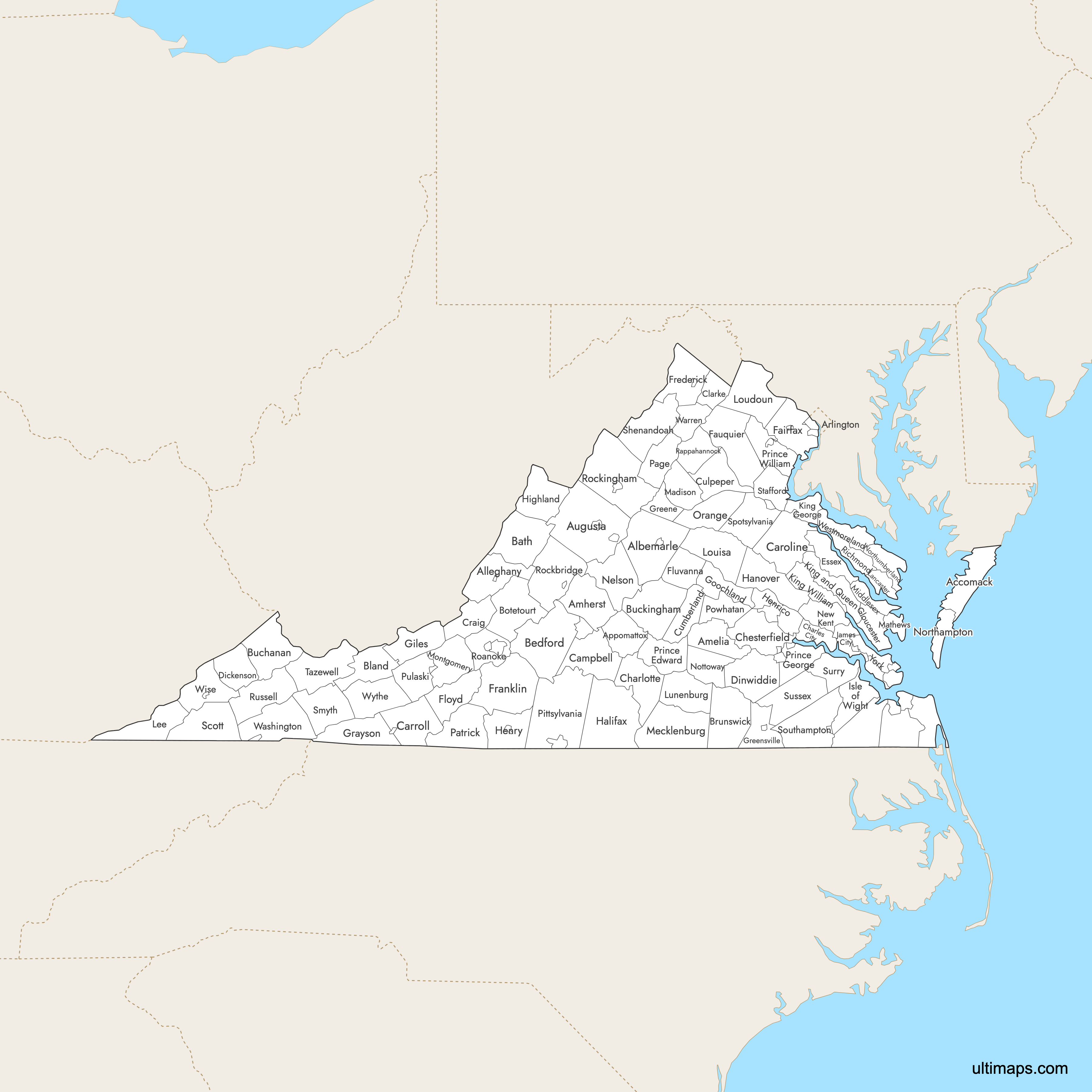
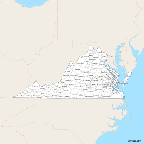 Labeled Map of Virginia Counties with Surrounding Areaspng1123 KB
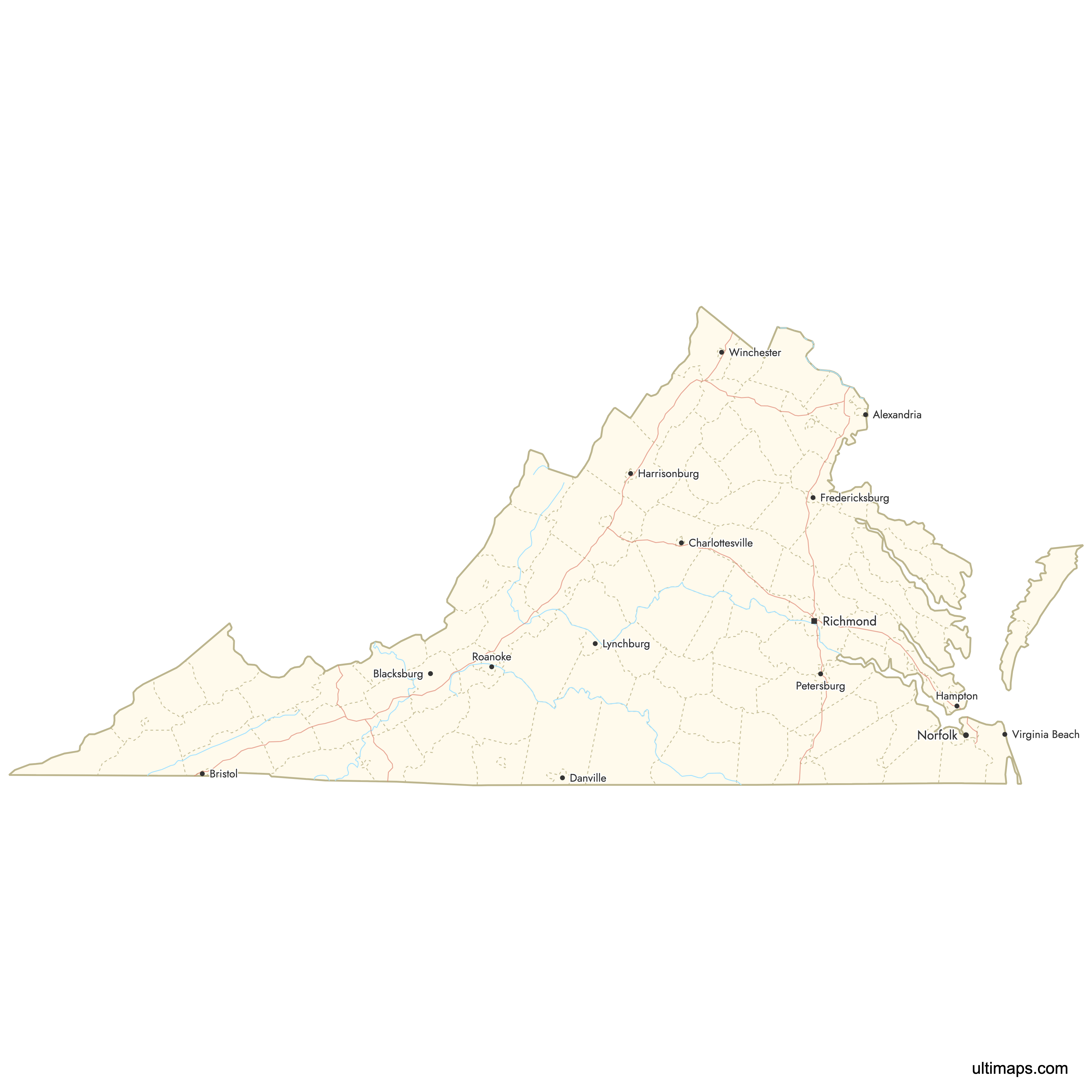
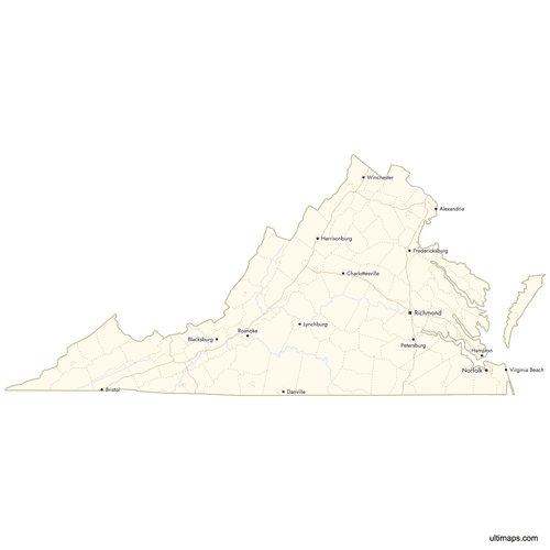 Map of Virginia Counties with Citiespng717 KB
Need it without colors? The blank version of this map comes as a print-ready PDF (A4 and US Letter), a PNG and an editable SVG.
Custom Map Features
This map supports labels.
This map supports surrounding areas, roads, rivers and cities. New
This map is divided into 95 counties.
Updates
Sep 15, 2025:
- Improved map quality
- Added support for surrounding areas and lakes
Aug 26, 2024:
- Added map of Virginia Counties
Frequently Asked Questions
Virginia has 95 counties. In addition, there are 38 independent cities that are treated as county-equivalents, totaling 133 county-level jurisdictions.
The largest county in Virginia by land area is Pittsylvania County, covering 978 square miles (2,533 km²).
The smallest county by land area is Arlington County, covering 26 square miles (67 km²).
The most populous county in Virginia is Fairfax County, with a population of 1,150,309 residents.
Virginia has 38 independent cities. These cities are separate from any county and are treated as county-equivalents. They became separate through charters and legislative actions in the 19th and 20th centuries.
Historical county maps of Virginia are preserved by the Library of Congress and state archives. An example is an 1860 “County map of Virginia and North Carolina” by S. A. Mitchell.
You can use Ultimaps to create custom maps of Virginia. Color-code counties manually or upload data, place pins, customize look and feel, and export to PNG, PDF, or SVG.