Map of Ohio Counties
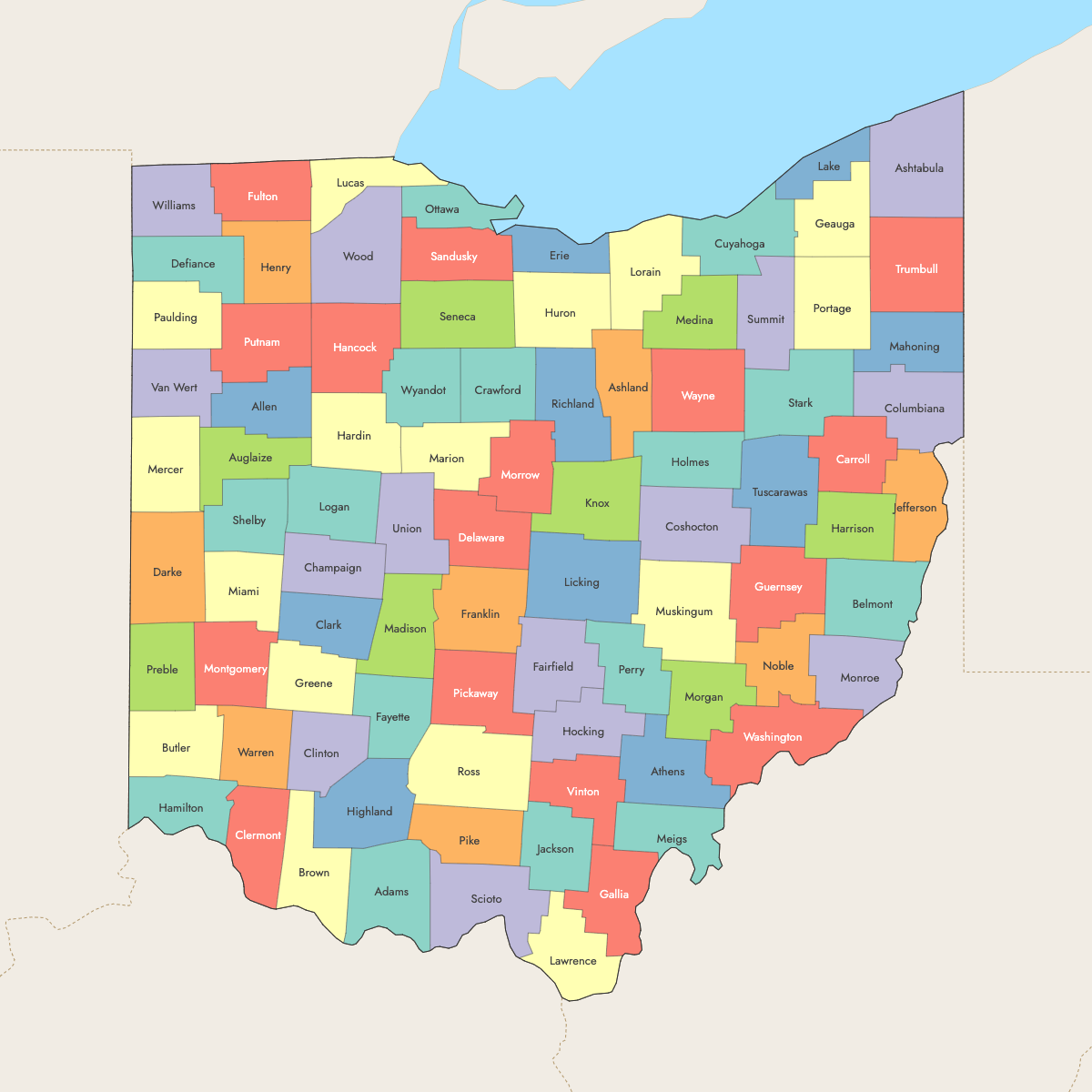
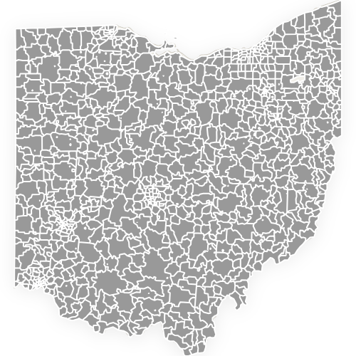
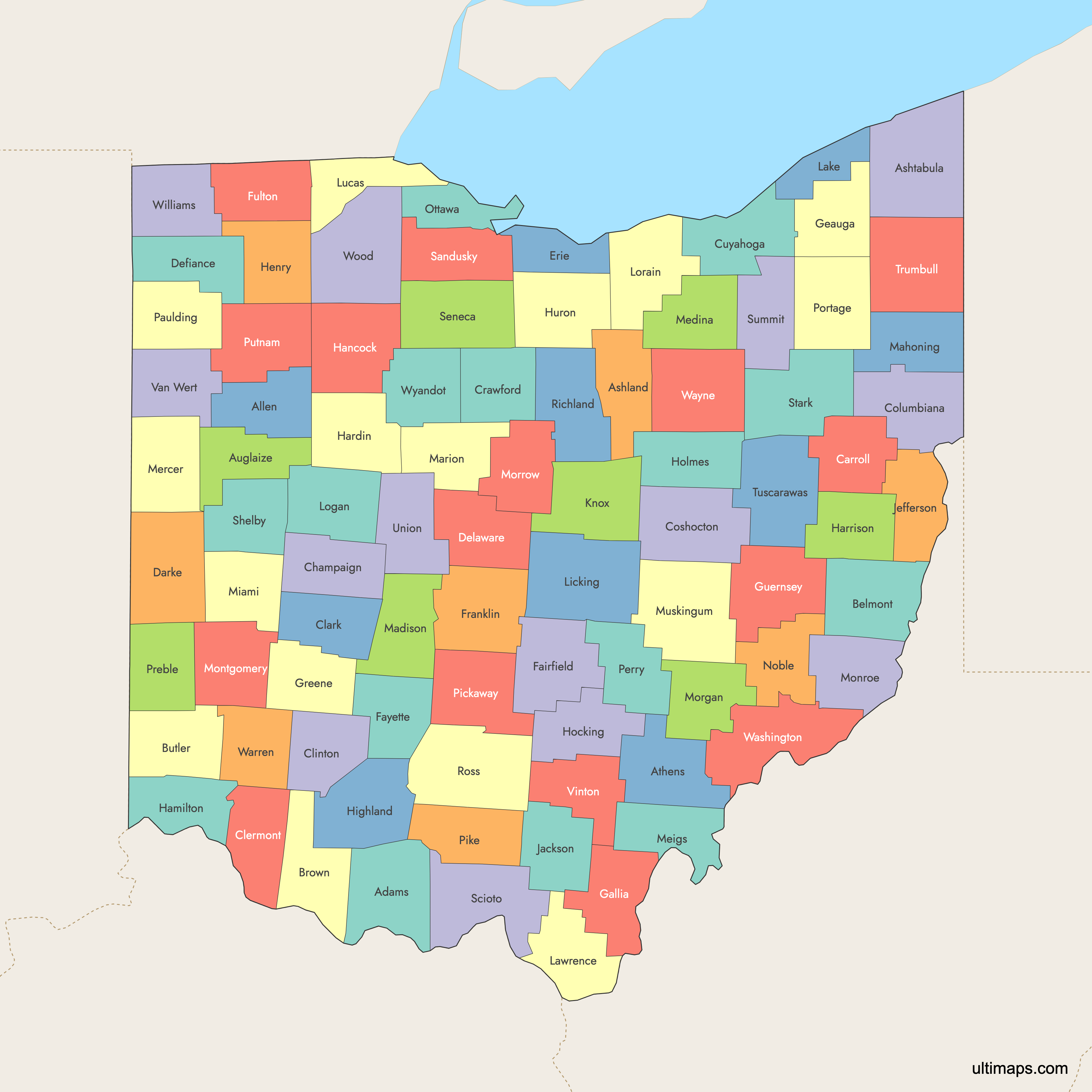
Ohio is divided into 88 counties, each functioning as an individual administrative region within the state. Use the interactive maps below to explore counties and their boundaries. Download free maps or learn more about creating a custom map of Ohio to visualize your own data.
Interactive Map of Ohio Counties
List of Counties (88)
| # | County | County seat | Year founded |
|---|---|---|---|
| 1 | Adams | West Union | 1797 |
| 2 | Allen | Lima | 1820 |
| 3 | Ashland | Ashland | 1846 |
| 4 | Ashtabula | Jefferson | 1807 |
| 5 | Athens | Athens | 1805 |
| 6 | Auglaize | Wapakoneta | 1848 |
| 7 | Belmont | St. Clairsville | 1801 |
| 8 | Brown | Georgetown | 1818 |
| 9 | Butler | Hamilton | 1803 |
| 10 | Carroll | Carrollton | 1833 |
| 11 | Champaign | Urbana | 1805 |
| 12 | Clark | Springfield | 1818 |
| 13 | Clermont | Batavia | 1800 |
| 14 | Clinton | Wilmington | 1810 |
| 15 | Columbiana | Lisbon | 1803 |
| 16 | Coshocton | Coshocton | 1810 |
| 17 | Crawford | Bucyrus | 1820 |
| 18 | Cuyahoga | Cleveland | 1807 |
| 19 | Darke | Greenville | 1809 |
| 20 | Defiance | Defiance | 1845 |
| 21 | Delaware | Delaware | 1808 |
| 22 | Erie | Sandusky | 1838 |
| 23 | Fairfield | Lancaster | 1800 |
| 24 | Fayette | Washington Court House | 1810 |
| 25 | Franklin | Columbus | 1803 |
| 26 | Fulton | Wauseon | 1850 |
| 27 | Gallia | Gallipolis | 1803 |
| 28 | Geauga | Chardon | 1806 |
| 29 | Greene | Xenia | 1803 |
| 30 | Guernsey | Cambridge | 1810 |
| 31 | Hamilton | Cincinnati | 1790 |
| 32 | Hancock | Findlay | 1820 |
| 33 | Hardin | Kenton | 1820 |
| 34 | Harrison | Cadiz | 1813 |
| 35 | Henry | Napoleon | 1820 |
| 36 | Highland | Hillsboro | 1805 |
| 37 | Hocking | Logan | 1818 |
| 38 | Holmes | Millersburg | 1824 |
| 39 | Huron | Norwalk | 1809 |
| 40 | Jackson | Jackson | 1816 |
| 41 | Jefferson | Steubenville | 1797 |
| 42 | Knox | Mount Vernon | 1808 |
| 43 | Lake | Painesville | 1840 |
| 44 | Lawrence | Ironton | 1815 |
| 45 | Licking | Newark | 1808 |
| 46 | Logan | Bellefontaine | 1818 |
| 47 | Lorain | Elyria | 1822 |
| 48 | Lucas | Toledo | 1835 |
| 49 | Madison | London | 1810 |
| 50 | Mahoning | Youngstown | 1846 |
| 51 | Marion | Marion | 1820 |
| 52 | Medina | Medina | 1812 |
| 53 | Meigs | Pomeroy | 1819 |
| 54 | Mercer | Celina | 1820 |
| 55 | Miami | Troy | 1807 |
| 56 | Monroe | Woodsfield | 1813 |
| 57 | Montgomery | Dayton | 1803 |
| 58 | Morgan | McConnelsville | 1817 |
| 59 | Morrow | Mount Gilead | 1848 |
| 60 | Muskingum | Zanesville | 1804 |
| 61 | Noble | Caldwell | 1851 |
| 62 | Ottawa | Port Clinton | 1840 |
| 63 | Paulding | Paulding | 1820 |
| 64 | Perry | New Lexington | 1818 |
| 65 | Pickaway | Circleville | 1810 |
| 66 | Pike | Waverly | 1815 |
| 67 | Portage | Ravenna | 1807 |
| 68 | Preble | Eaton | 1808 |
| 69 | Putnam | Ottawa | 1820 |
| 70 | Richland | Mansfield | 1808 |
| 71 | Ross | Chillicothe | 1798 |
| 72 | Sandusky | Fremont | 1820 |
| 73 | Scioto | Portsmouth | 1803 |
| 74 | Seneca | Tiffin | 1820 |
| 75 | Shelby | Sidney | 1819 |
| 76 | Stark | Canton | 1808 |
| 77 | Summit | Akron | 1840 |
| 78 | Trumbull | Warren | 1800 |
| 79 | Tuscarawas | New Philadelphia | 1808 |
| 80 | Union | Marysville | 1820 |
| 81 | Van Wert | Van Wert | 1820 |
| 82 | Vinton | McArthur | 1850 |
| 83 | Warren | Lebanon | 1803 |
| 84 | Washington | Marietta | 1788 |
| 85 | Wayne | Wooster | 1812 |
| 86 | Williams | Bryan | 1820 |
| 87 | Wood | Bowling Green | 1820 |
| 88 | Wyandot | Upper Sandusky | 1845 |
Ohio Counties: Key Facts
- Total number of counties: 88 (13th highest among all U.S. states)
- Most populous county: Franklin County (Columbus)
- Least populous county: Vinton County
- Largest county by land area: Ashtabula County - 702 square miles
- Smallest by area: Lake County - 228 square miles
- Counties with major urban centers: Cuyahoga (Cleveland), Franklin (Columbus), Hamilton (Cincinnati)
- State capital location: Franklin County (Columbus)
- Bordering states: Michigan, Indiana, Kentucky, West Virginia, and Pennsylvania
- Most counties formed in early to mid-1800s
Free Downloads
Free for personal and commercial use with a credit to Ultimaps. See the license terms for details.
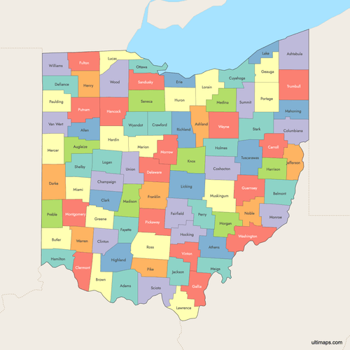 Colored Map of Ohio Counties with Surrounding Areaspng751 KB
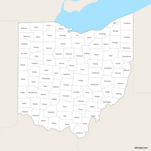 Labeled Map of Ohio Counties with Surrounding Areaspng711 KB
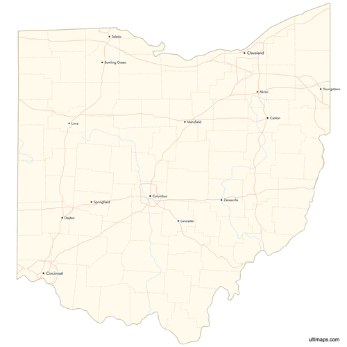 Map of Ohio Counties with Citiespng903 KB
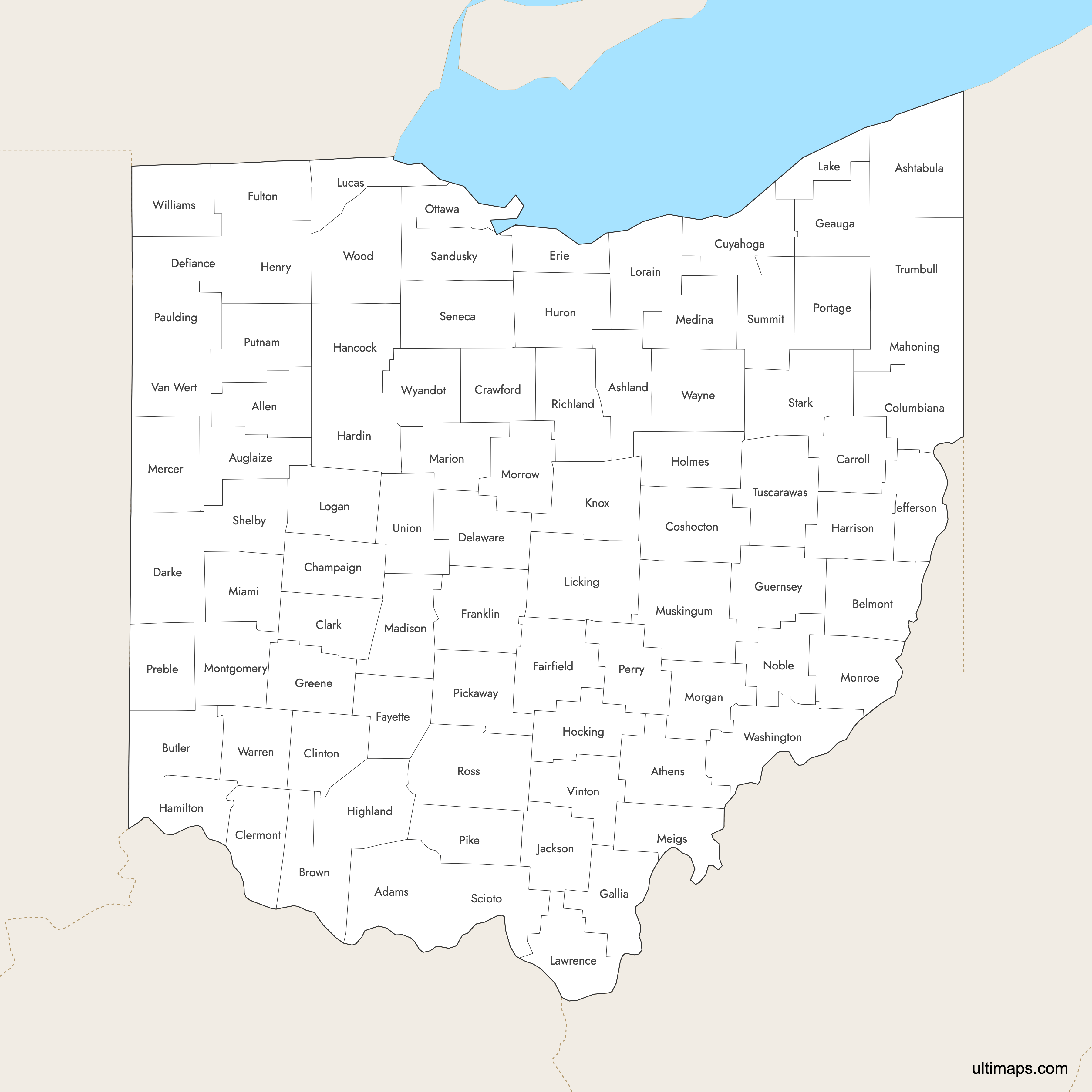
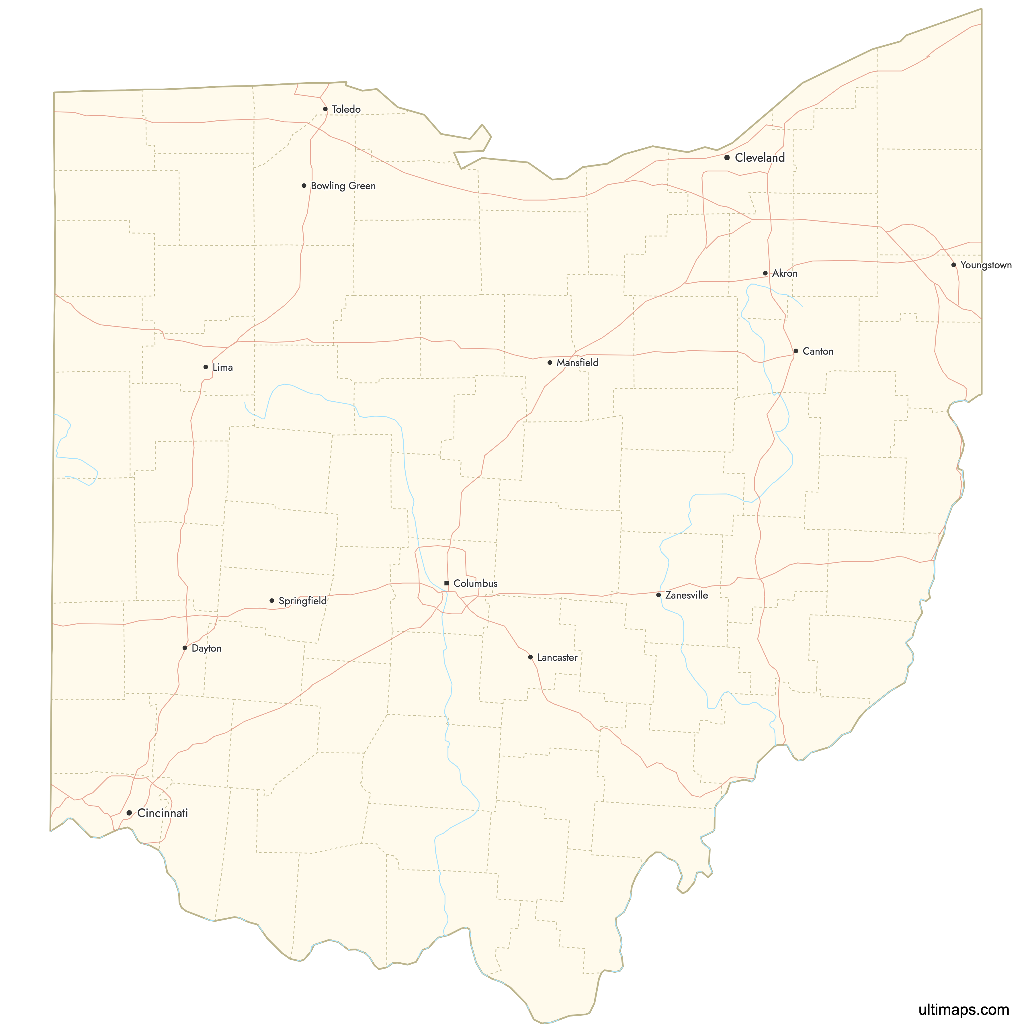
Need it without colors? The blank version of this map comes as a print-ready PDF (A4 and US Letter), a PNG and an editable SVG.
Custom Map Features
This map supports labels.
This map supports surrounding areas, roads, rivers and cities. New
This map is divided into 88 counties.
Updates
Aug 27, 2025:
- Improved map quality
- Added support for surrounding areas and lakes
Aug 26, 2024:
- Added map of Ohio Counties