Map of Pennsylvania Counties
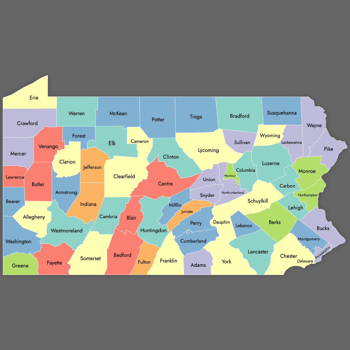
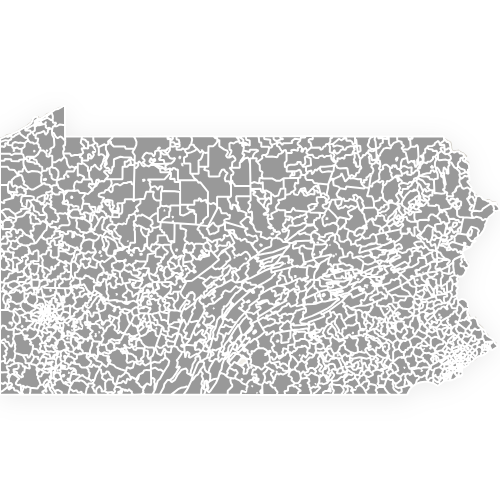
Pennsylvania is divided into 67 counties. Use the interactive maps below to explore county boundaries and their unique characteristics. Download free maps or learn more about creating a custom map of Pennsylvania to visualize your data.
Interactive Map of Pennsylvania Counties
List of Counties (67)
| # | County | County seat | Year founded |
|---|---|---|---|
| 1 | Adams | Gettysburg | 1800 |
| 2 | Allegheny | Pittsburgh | 1788 |
| 3 | Armstrong | Kittanning | 1800 |
| 4 | Beaver | Beaver | 1800 |
| 5 | Bedford | Bedford | 1771 |
| 6 | Berks | Reading | 1752 |
| 7 | Blair | Hollidaysburg | 1846 |
| 8 | Bradford | Towanda | 1810 |
| 9 | Bucks | Doylestown | 1682 |
| 10 | Butler | Butler | 1800 |
| 11 | Cambria | Ebensburg | 1804 |
| 12 | Cameron | Emporium | 1860 |
| 13 | Carbon | Jim Thorpe | 1843 |
| 14 | Centre | Bellefonte | 1800 |
| 15 | Chester | West Chester | 1682 |
| 16 | Clarion | Clarion | 1839 |
| 17 | Clearfield | Clearfield | 1804 |
| 18 | Clinton | Lock Haven | 1839 |
| 19 | Columbia | Bloomsburg | 1813 |
| 20 | Crawford | Meadville | 1800 |
| 21 | Cumberland | Carlisle | 1750 |
| 22 | Dauphin | Harrisburg | 1785 |
| 23 | Delaware | Media | 1789 |
| 24 | Elk | Ridgway | 1843 |
| 25 | Erie | Erie | 1800 |
| 26 | Fayette | Uniontown | 1783 |
| 27 | Forest | Tionesta | 1848 |
| 28 | Franklin | Chambersburg | 1784 |
| 29 | Fulton | McConnellsburg | 1850 |
| 30 | Greene | Waynesburg | 1796 |
| 31 | Huntingdon | Huntingdon | 1787 |
| 32 | Indiana | Indiana | 1803 |
| 33 | Jefferson | Brookville | 1804 |
| 34 | Juniata | Mifflintown | 1831 |
| 35 | Lackawanna | Scranton | 1878 |
| 36 | Lancaster | Lancaster | 1729 |
| 37 | Lawrence | New Castle | 1849 |
| 38 | Lebanon | Lebanon | 1813 |
| 39 | Lehigh | Allentown | 1812 |
| 40 | Luzerne | Wilkes-Barre | 1786 |
| 41 | Lycoming | Williamsport | 1795 |
| 42 | McKean | Smethport | 1804 |
| 43 | Mercer | Mercer | 1800 |
| 44 | Mifflin | Lewistown | 1789 |
| 45 | Monroe | Stroudsburg | 1836 |
| 46 | Montgomery | Norristown | 1784 |
| 47 | Montour | Danville | 1850 |
| 48 | Northampton | Easton | 1752 |
| 49 | Northumberland | Sunbury | 1772 |
| 50 | Perry | New Bloomfield | 1820 |
| 51 | Philadelphia | Philadelphia | 1682 |
| 52 | Pike | Milford | 1814 |
| 53 | Potter | Coudersport | 1804 |
| 54 | Schuylkill | Pottsville | 1811 |
| 55 | Snyder | Middleburg | 1855 |
| 56 | Somerset | Somerset | 1795 |
| 57 | Sullivan | Laporte | 1847 |
| 58 | Susquehanna | Montrose | 1810 |
| 59 | Tioga | Wellsboro | 1804 |
| 60 | Union | Lewisburg | 1813 |
| 61 | Venango | Franklin | 1800 |
| 62 | Warren | Warren | 1800 |
| 63 | Washington | Washington | 1781 |
| 64 | Wayne | Honesdale | 1798 |
| 65 | Westmoreland | Greensburg | 1773 |
| 66 | Wyoming | Tunkhannock | 1842 |
| 67 | York | York | 1749 |
Pennsylvania Counties: Key Facts
- Total number of counties: 67
- State capital: Harrisburg in Dauphin County
- Largest county by area: Lycoming County - 1,244 square miles (3,222 km²)
- Smallest county by area: Montour County - 132 square miles (342 km²)
- Most populous county: Philadelphia County - 1,603,797 people
- Least populous county: Cameron County - 4,547 people
- Counties with major urban centers: Philadelphia (Philadelphia), Allegheny (Pittsburgh), Lehigh (Allentown)
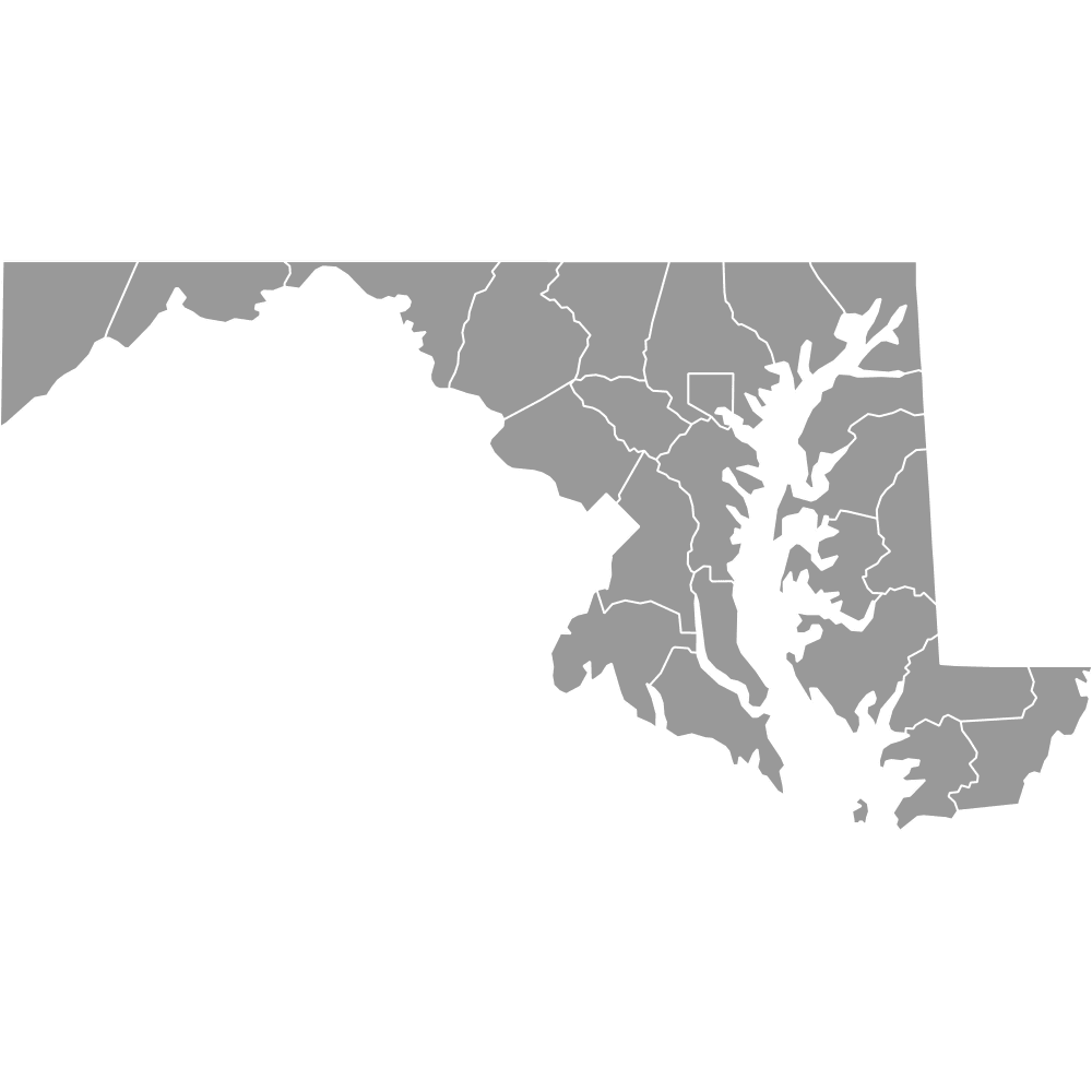
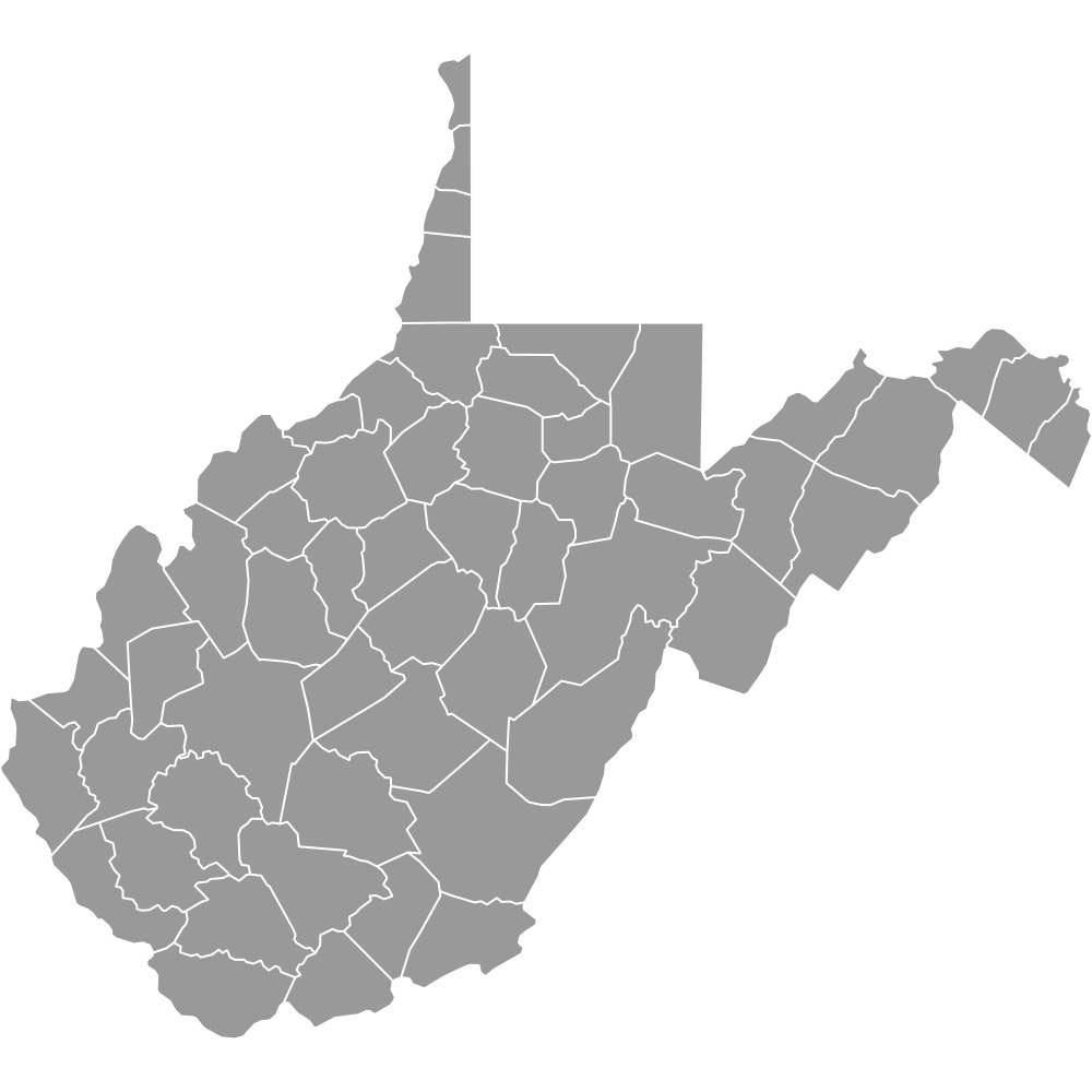
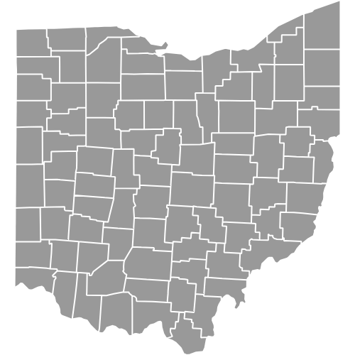
- Bordering states: New York, New Jersey, Delaware, Maryland, West Virginia, Ohio
- Time zone: Eastern Time Zone (ET)
- Consolidated city-county: Philadelphia County and City of Philadelphia are coterminous
Interesting Facts
- Philadelphia is both a city and a county.
- Only incorporated town seat: Bloomsburg in Columbia County is the only incorporated town in Pennsylvania.
- Civil War history: Adams County, with Gettysburg, was the site of the Battle of Gettysburg in 1863.
- Anthracite coal region: Luzerne, Schuylkill, Carbon, and Northumberland mark historic coal fields.
- Great Lakes corner: Erie County is Pennsylvania’s only Great Lakes county.
Free Downloads
Free for personal and commercial use with a credit to Ultimaps. See the license terms for details.
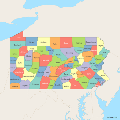 Colored Map of Pennsylvania Counties with Surrounding Areaspng971 KB
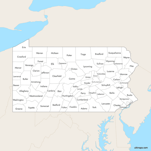 Labeled Map of Pennsylvania Counties with Surrounding Areaspng948 KB
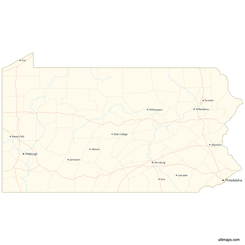 Map of Pennsylvania Counties with Citiespng780 KB
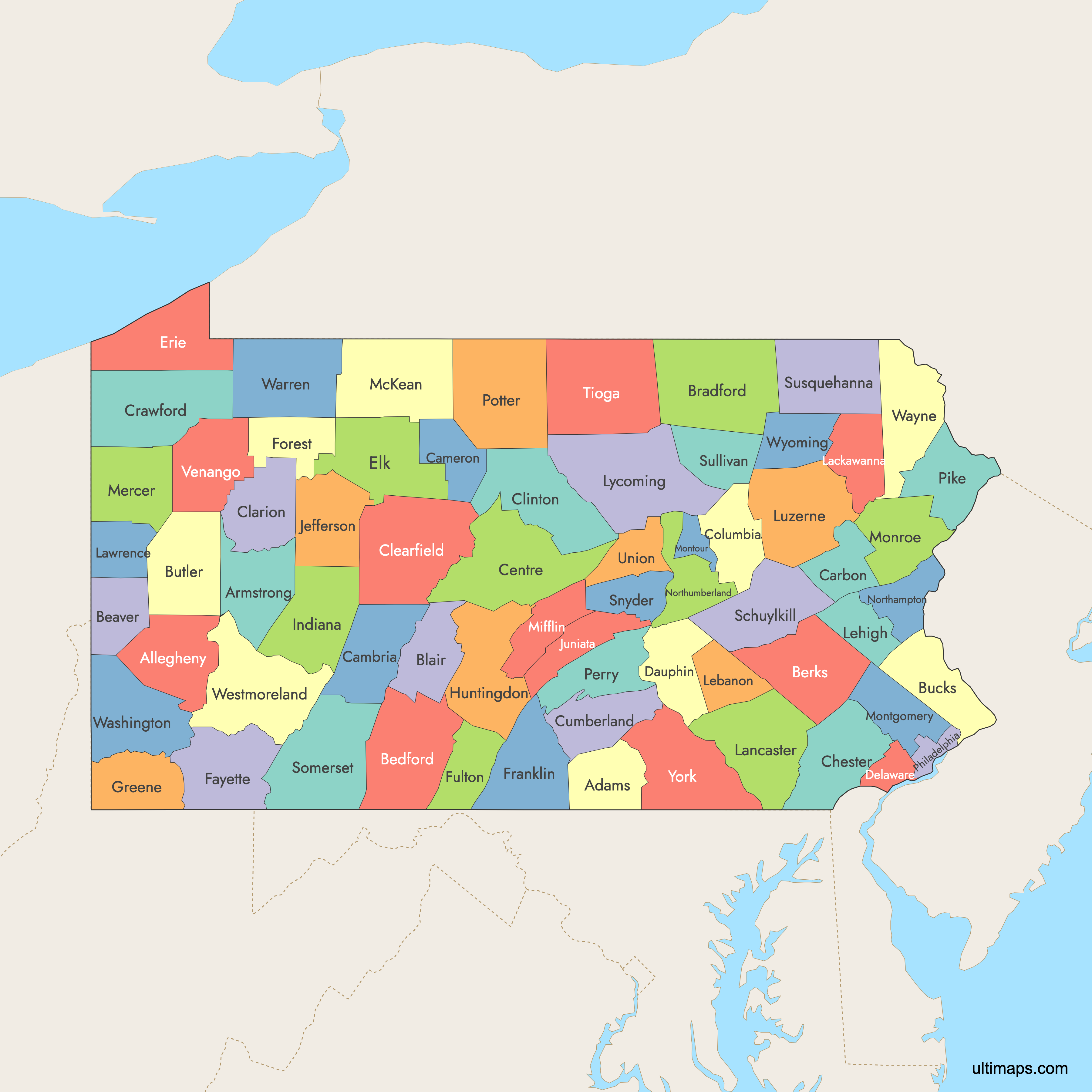
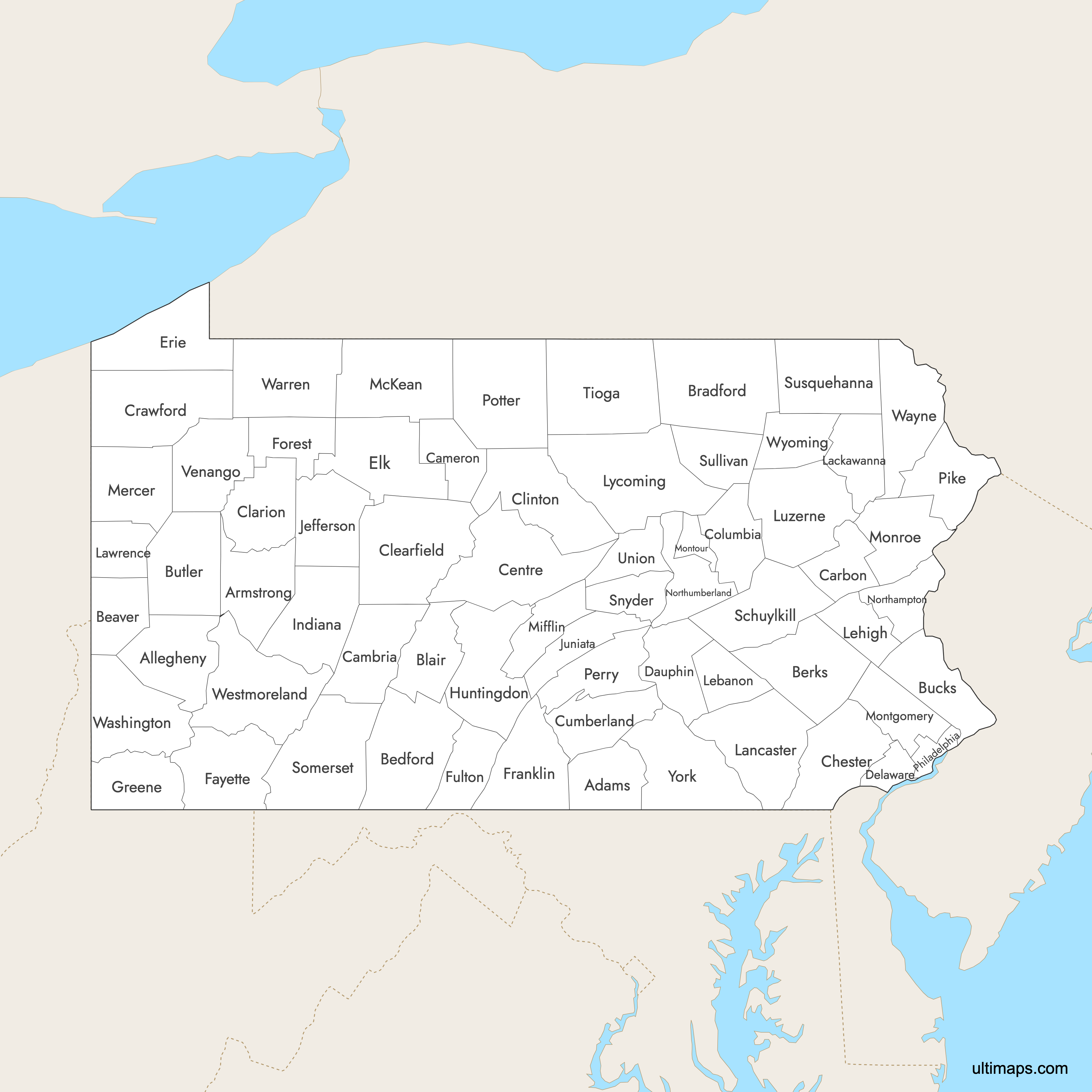
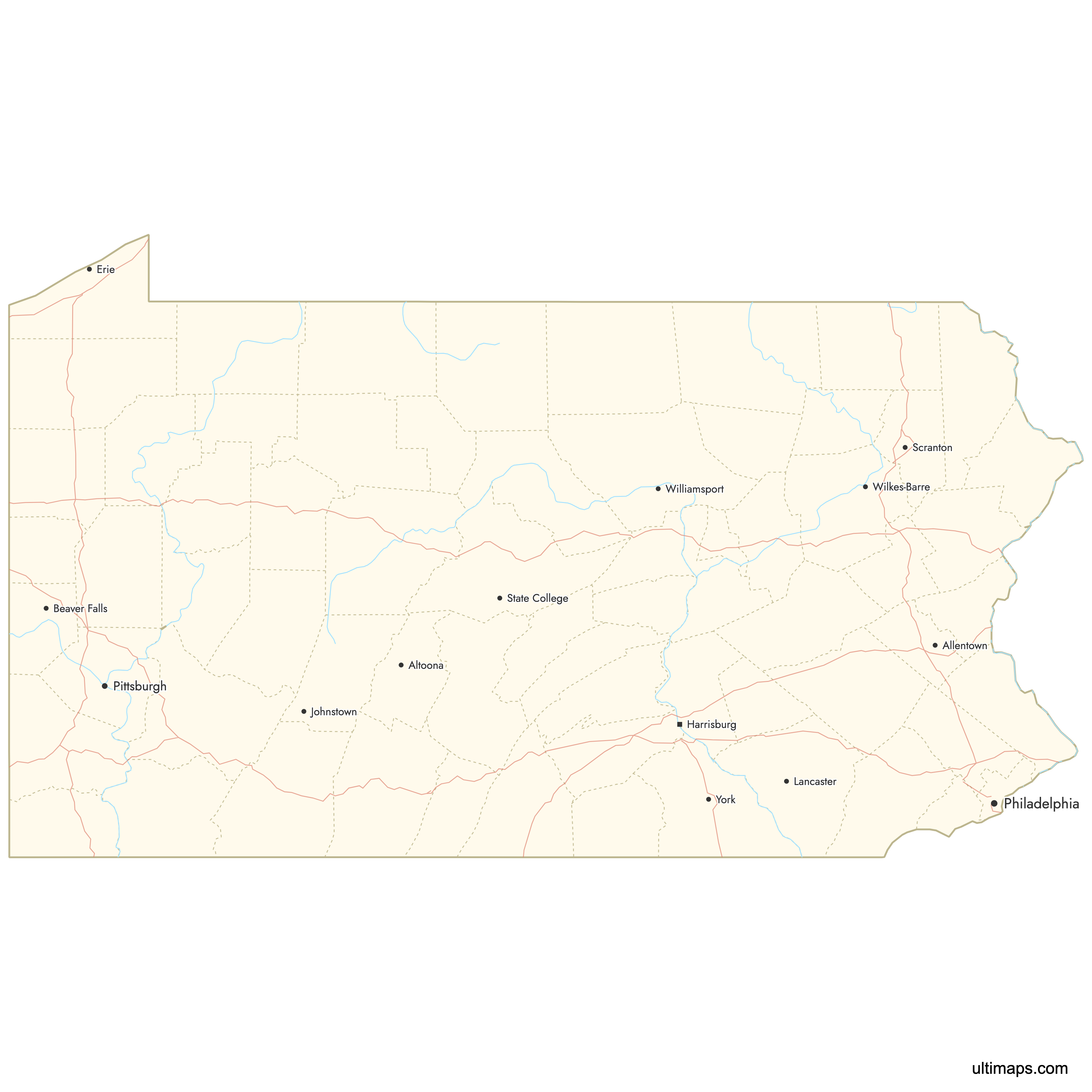
Need it without colors? The blank version of this map comes as a print-ready PDF (A4 and US Letter), a PNG and an editable SVG.
Custom Map Features
This map supports labels.
This map supports surrounding areas, roads, rivers and cities. New
This map is divided into 67 counties.
Updates
Oct 2, 2025:
- Improved map quality
- Added support for surrounding areas and lakes
Aug 26, 2024:
- Added map of Pennsylvania Counties
Frequently Asked Questions
Pennsylvania has 67 counties.
Lycoming County is the largest by area, covering 1,244 square miles (3,222 km²).
Montour County is the smallest by area, at 132 square miles (342 km²).
Philadelphia County has the largest population, with 1,603,797 residents.
Cameron County has the smallest population at 4,547 people.
Gettysburg is in Adams County, known for the pivotal Battle of Gettysburg during the Civil War.
Only Erie County borders Lake Erie, forming the state's entire Great Lakes shoreline.
You can use Ultimaps to create custom maps of Pennsylvania. Color-code counties, place pins, customize the look and feel, and export to PNG, PDF, or SVG.