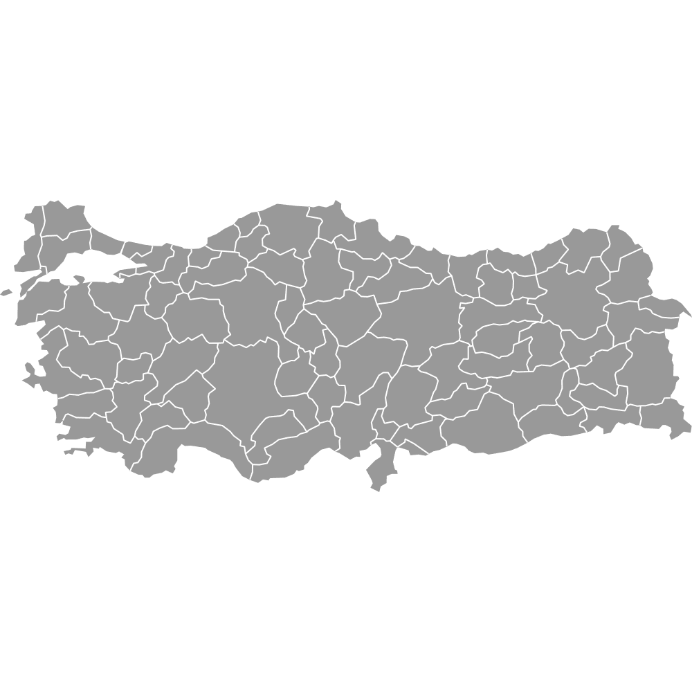
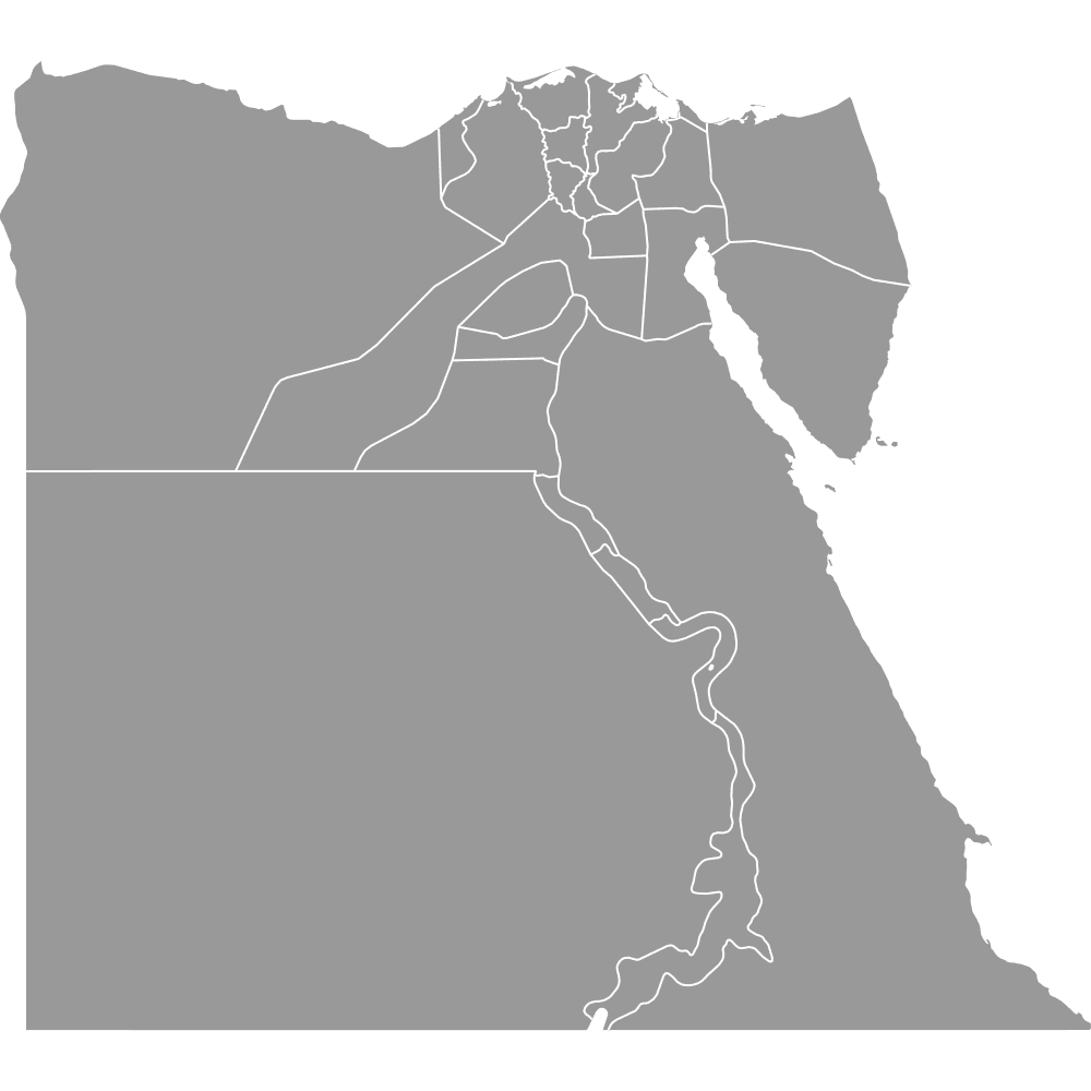
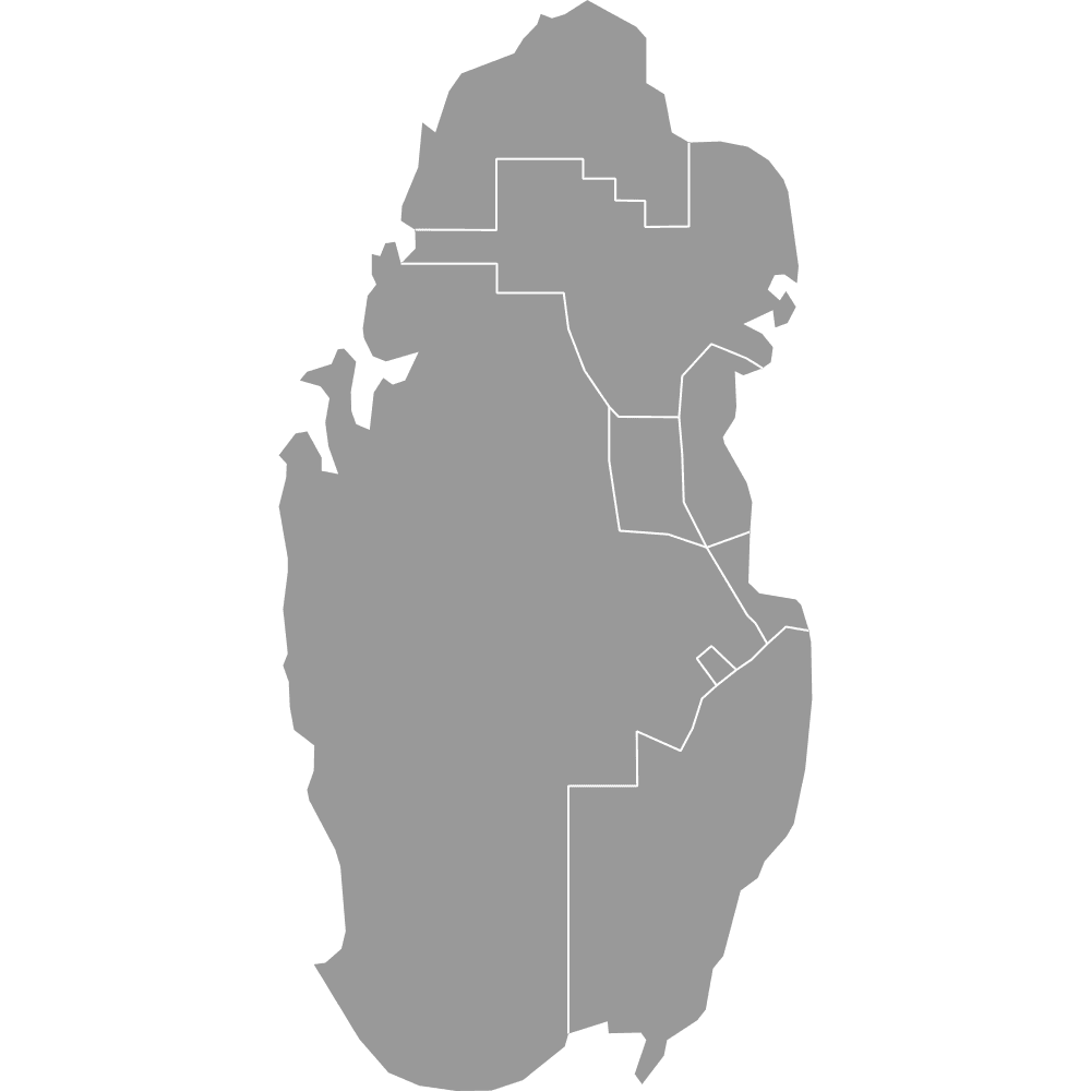
Map of MENA Countries
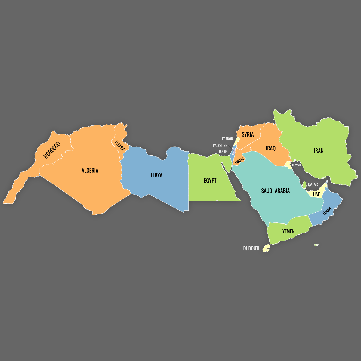
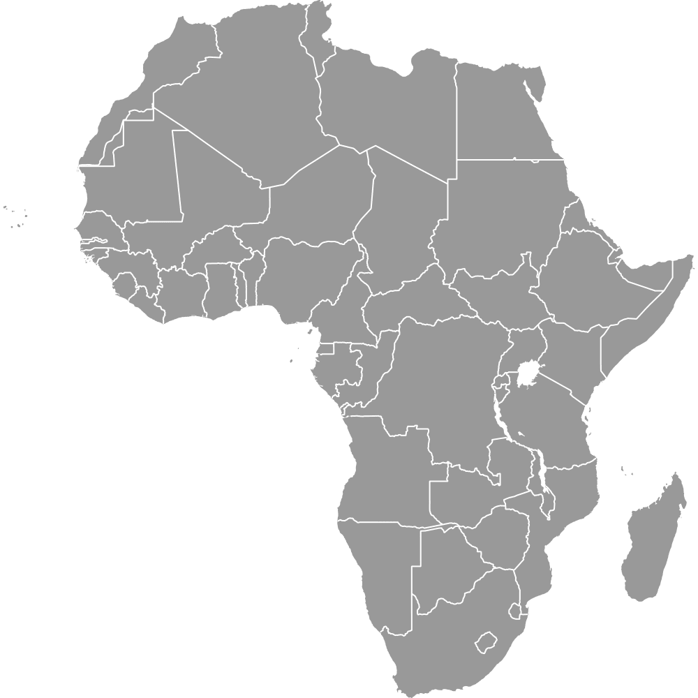
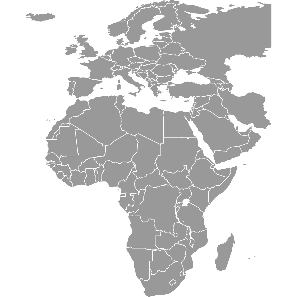
The MENA region, which includes the Middle East and North Africa, covers 19 countries. Use the interactive maps below to explore these countries and their boundaries. Download free maps or learn more about creating a custom map of the MENA region to visualize your own data.
Interactive Map of MENA Countries
List of Countries (19)
MENA Region: Key Facts
- Total area: Approximately 3.82 million square miles (9.9 million square kilometers)
- Number of countries: 19
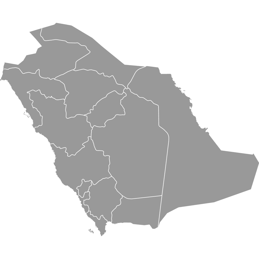
- Largest countries by area: Saudi Arabia (approx. 800,000 sq mi), Iran (approx. 580,000 sq mi), Egypt (approx. 384,000 sq mi)
- Smallest countries by area: Bahrain (295 sq mi), Cyprus (3,568 sq mi), Lebanon (3,950 sq mi)
- Total population: Approximately 690 million
- Most populous countries: Egypt (~90.6 million), Iran (~79 million)
- Least populous countries: Cyprus (~1.1 million), Bahrain (~1.4 million), Qatar (~2.4 million)
- Notable geographic features: Syrian Desert, Nile River, Sinai Peninsula
- Strategic waterways: Suez Canal, Persian Gulf
- Subregions: Maghreb (Algeria, Morocco, etc.), Arabian Peninsula (Saudi Arabia, UAE, etc.)
Free Downloads
Free for personal and commercial use with a credit to Ultimaps. See the license terms for details.
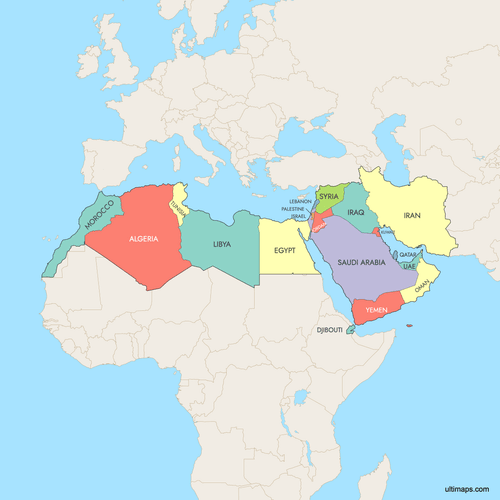 Colored Map of MENA Countries with Surrounding Areaspng1199 KB
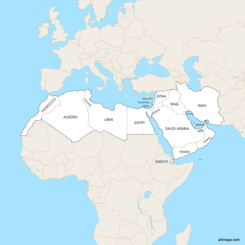 Labeled Map of MENA Countries with Surrounding Areaspng1194 KB


Need it without colors? The blank version of this map comes as a print-ready PDF (A4 and US Letter), a PNG and an editable SVG.
Custom Map Features
This map supports labels.
This map supports surrounding areas. New
This map is divided into 19 countries.
Updates
Aug 6, 2025:
- Improved map quality
- Added support for surrounding areas and lakes
Oct 24, 2024:
- Added a map of MENA countries
Frequently Asked Questions
The MENA region includes 19 countries, such as Algeria, Egypt, Iran, Iraq, Israel, Jordan, Kuwait, Lebanon, Libya, Morocco, Oman, Palestine, Qatar, Saudi Arabia, Syria, Tunisia, Turkey, the UAE, and Yemen.
Saudi Arabia is the largest country in the MENA region, covering about 800,000 square miles (2.1 million square kilometers).
You can use Ultimaps to create custom maps of the MENA region. Customize boundaries, color-code countries, place pins, and export to PNG, PDF, or SVG.