Egypt Governorates Map
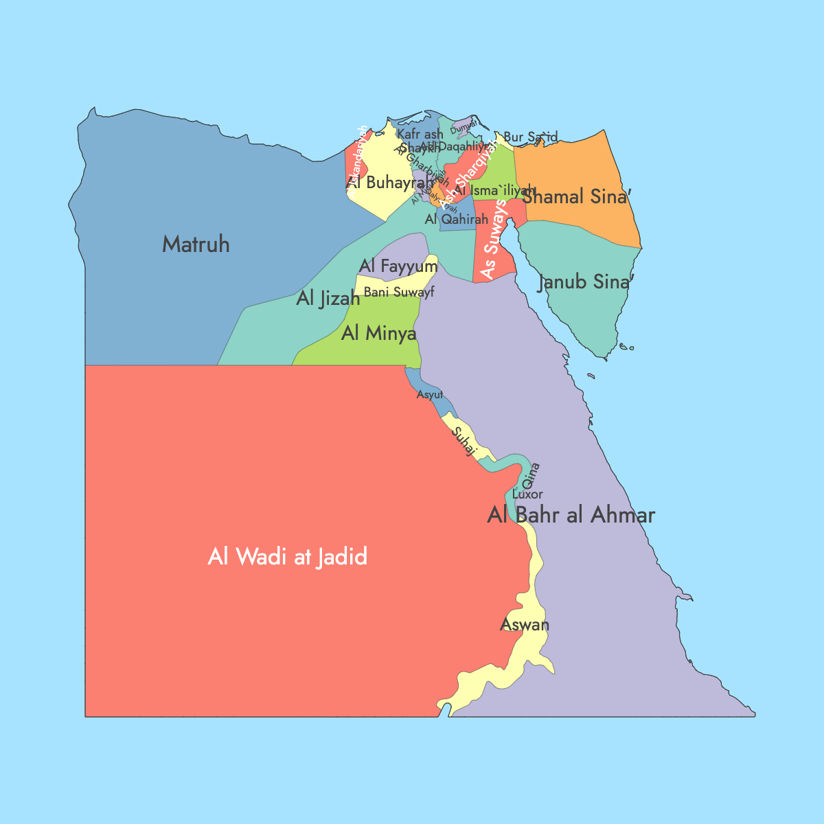
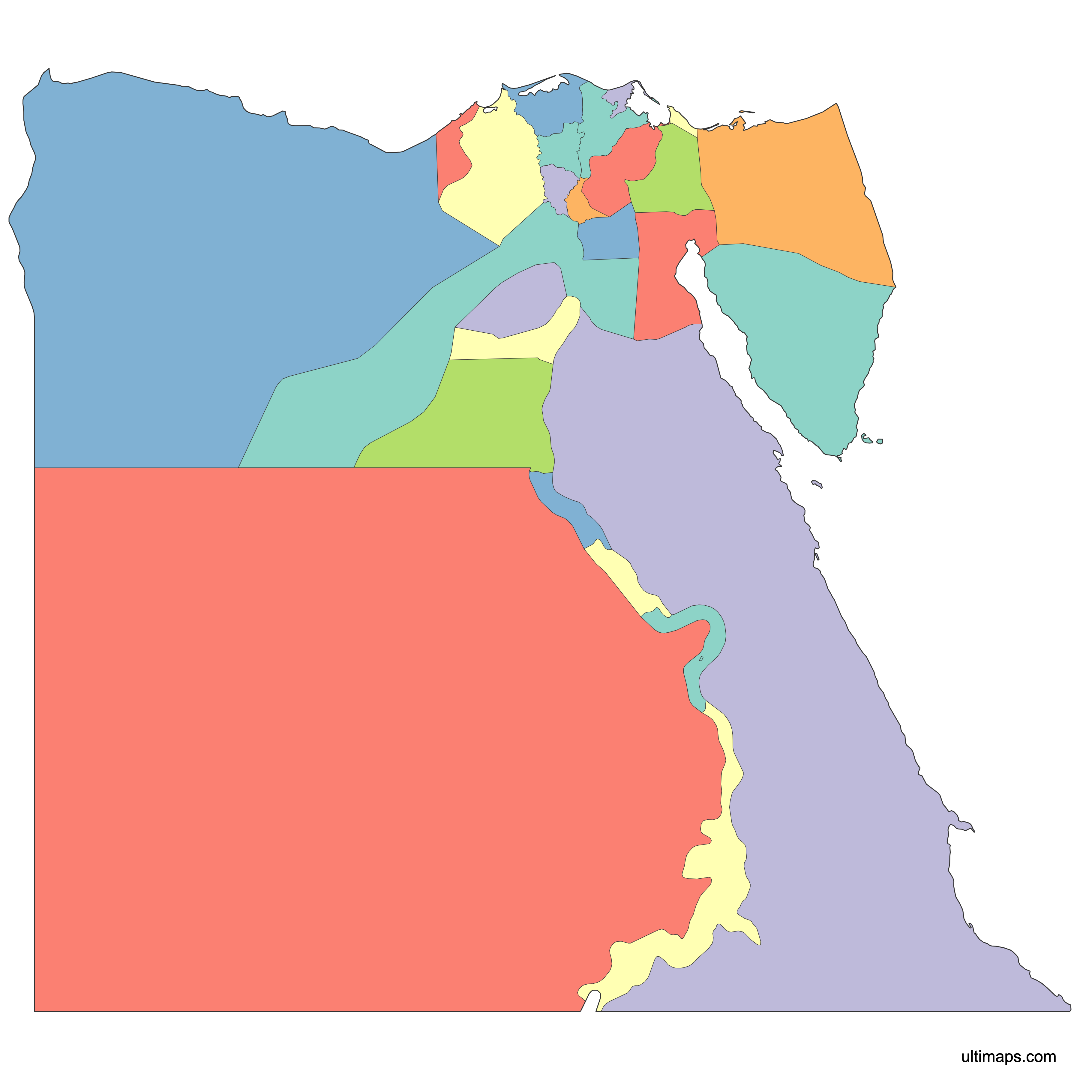
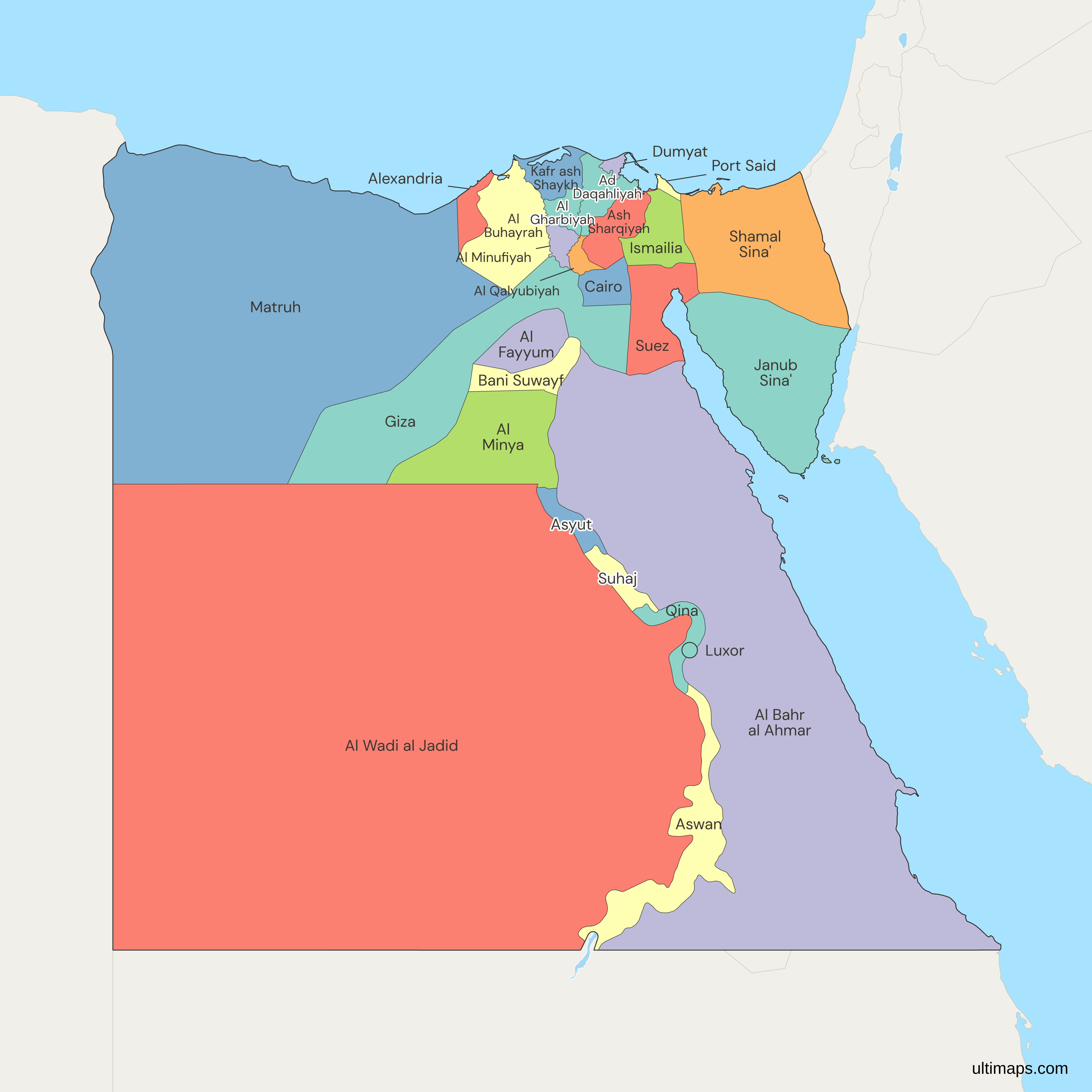
Egypt has 27 governorates (muhafazat), and each one has its own shape on the Egypt governorates map below, from Matrouh in the northwest to Aswan and the Red Sea governorate along the Sudanese border. Cairo, the national capital, is also a governorate in its own right. It is the most populous one, with 9,539,673 residents in the 2017 census run by CAPMAS (Central Agency for Public Mobilization and Statistics). South Sinai had the fewest people in that census, at 102,018.
The count has been 27 since April 2011. That month the Helwan and 6th of October governorates, created in 2008, were abolished and their territory went back to Cairo and Giza. New Valley is the largest governorate by area, at 440,098 km² (169,923 sq mi) by the governorate's own figure, and Damietta is the smallest, at about 910 km² (351 sq mi). In the editor you can color the 27 governorates from your own figures without creating an account.
Interactive Egypt Governorates Map
List of Governorates (27)
| # | Governorate |
|---|---|
| 1 | Ad Daqahliyah |
| 2 | Al Bahr al Ahmar |
| 3 | Al Buhayrah |
| 4 | Al Fayyum |
| 5 | Al Gharbiyah |
| 6 | Al Minufiyah |
| 7 | Al Minya |
| 8 | Al Qalyubiyah |
| 9 | Al Wadi al Jadid |
| 10 | Alexandria |
| 11 | Ash Sharqiyah |
| 12 | Aswan |
| 13 | Asyut |
| 14 | Bani Suwayf |
| 15 | Cairo |
| 16 | Dumyat |
| 17 | Giza |
| 18 | Ismailia |
| 19 | Janub Sina' |
| 20 | Kafr ash Shaykh |
| 21 | Luxor |
| 22 | Matruh |
| 23 | Port Said |
| 24 | Qina |
| 25 | Shamal Sina' |
| 26 | Suez |
| 27 | Suhaj |
Egypt Governorates: Key Facts
- Total number of governorates: 27 (muhafazat, Arabic محافظات). That is more than Syria with 14 or Jordan with 12.
- Most populous governorate: Cairo, with 9,539,673 residents (2017 census, CAPMAS)
- Least populous governorate: South Sinai, with 102,018 residents (2017 census, CAPMAS)
- Largest governorate by area: New Valley, at 440,098 km² (169,923 sq mi) (New Valley Governorate)
- Smallest governorate by area: Damietta, at about 910 km² (351 sq mi)
- Governorates with major urban centers: Cairo, Giza and Alexandria, the Suez Canal cities of Port Said, Ismailia and Suez, Luxor and Aswan in the Nile Valley, Hurghada in the Red Sea governorate, and Sharm el-Sheikh in South Sinai
- Capital: Cairo, the national capital and seat of government, at the head of the Nile Delta in Cairo Governorate
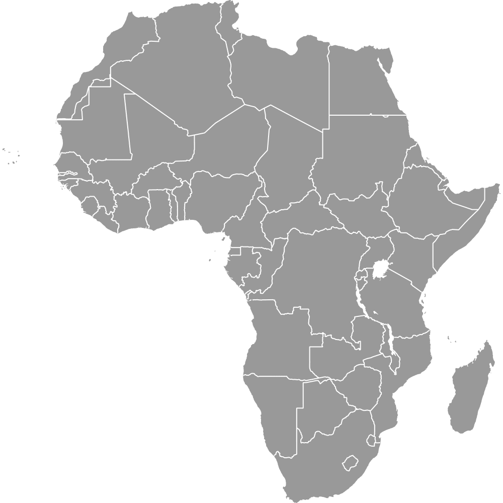
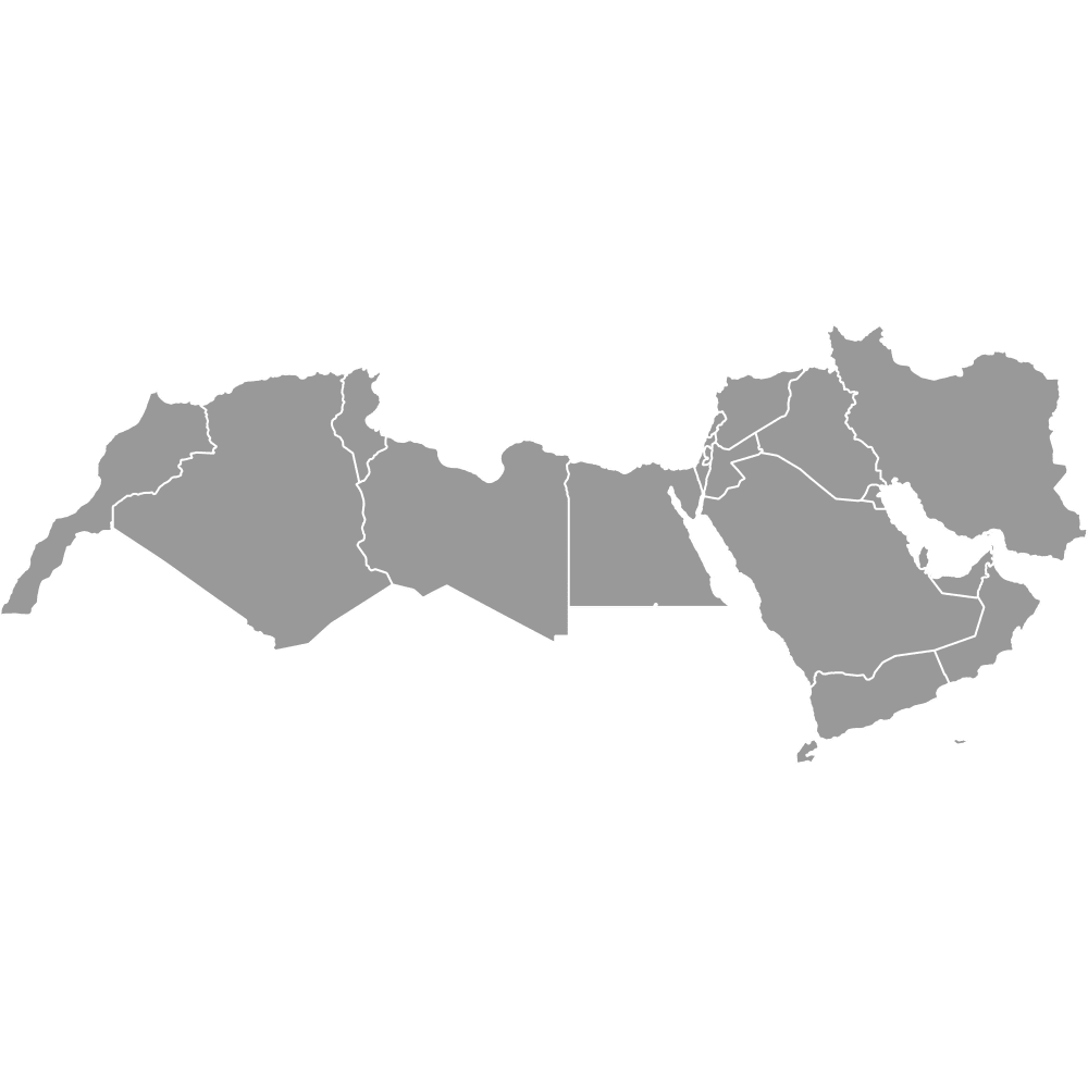
- Borders: Libya to the west, Sudan to the south, and Israel and the Gaza Strip to the northeast. Egypt has coastlines on the Mediterranean Sea and the Red Sea, including the Gulf of Suez and the Gulf of Aqaba. See also the Africa and MENA country maps.
- Time zone: Eastern European Time (UTC+2). Since 2023 Egypt has used daylight saving time again, moving to UTC+3 in summer.
- Recent boundary changes: Helwan and 6th of October governorates were created in April 2008. Luxor became a governorate in December 2009. Helwan and 6th of October were abolished in April 2011 and returned to Cairo and Giza.
- Disputed area: The Halaib Triangle, administered by Egypt and claimed by Sudan, is drawn inside the Red Sea governorate. Bir Tawil is not part of any governorate shape.
- Names in the region list: Several governorates appear under Arabic transliterations: Al Wadi al Jadid (New Valley), Janub Sina' (South Sinai), Shamal Sina' (North Sinai), Al Bahr al Ahmar (Red Sea), Dumyat (Damietta), Suhaj (Sohag) and Qina (Qena).
Interesting Facts
- New Valley covers more than 400 times the area of Damietta, and it borders both Libya and Sudan.
- The Great Pyramids stand in Giza Governorate, and the Valley of the Kings and Karnak Temple are in Luxor Governorate.
- Three governorates line the Suez Canal: Port Said at its Mediterranean end, Ismailia in the middle and Suez at the Red Sea end.
- Many governorates share a name with their capital, such as Asyut, Minya and Qena. Others use a regional name, such as Beheira, whose capital is Damanhur, and Dakahlia, whose capital is Mansoura.
Free Downloads
Free for personal and commercial use with a credit to Ultimaps. See the license terms for details.
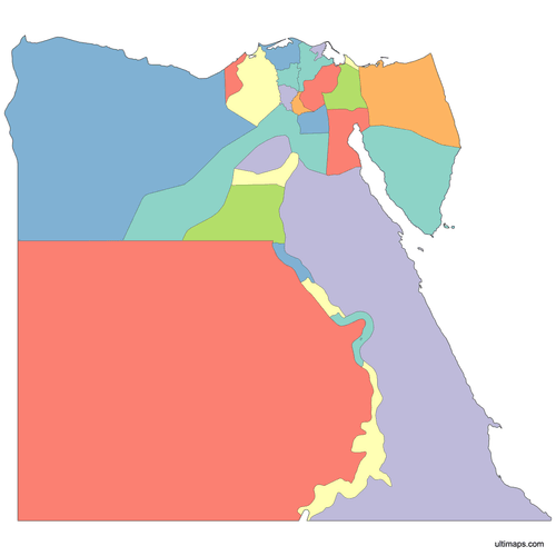 Colored Egypt Governorates Mappng520 KB
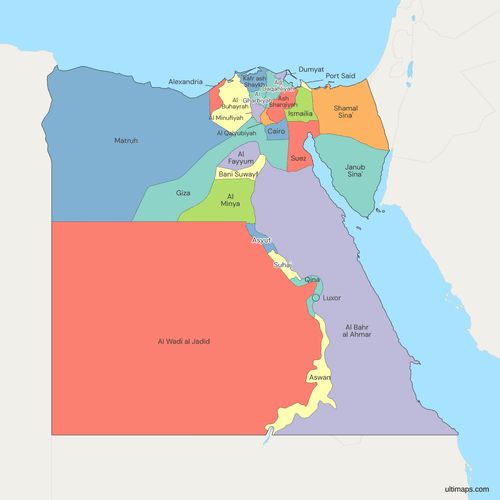 Political Map of Egypt with Governoratespng580 KB
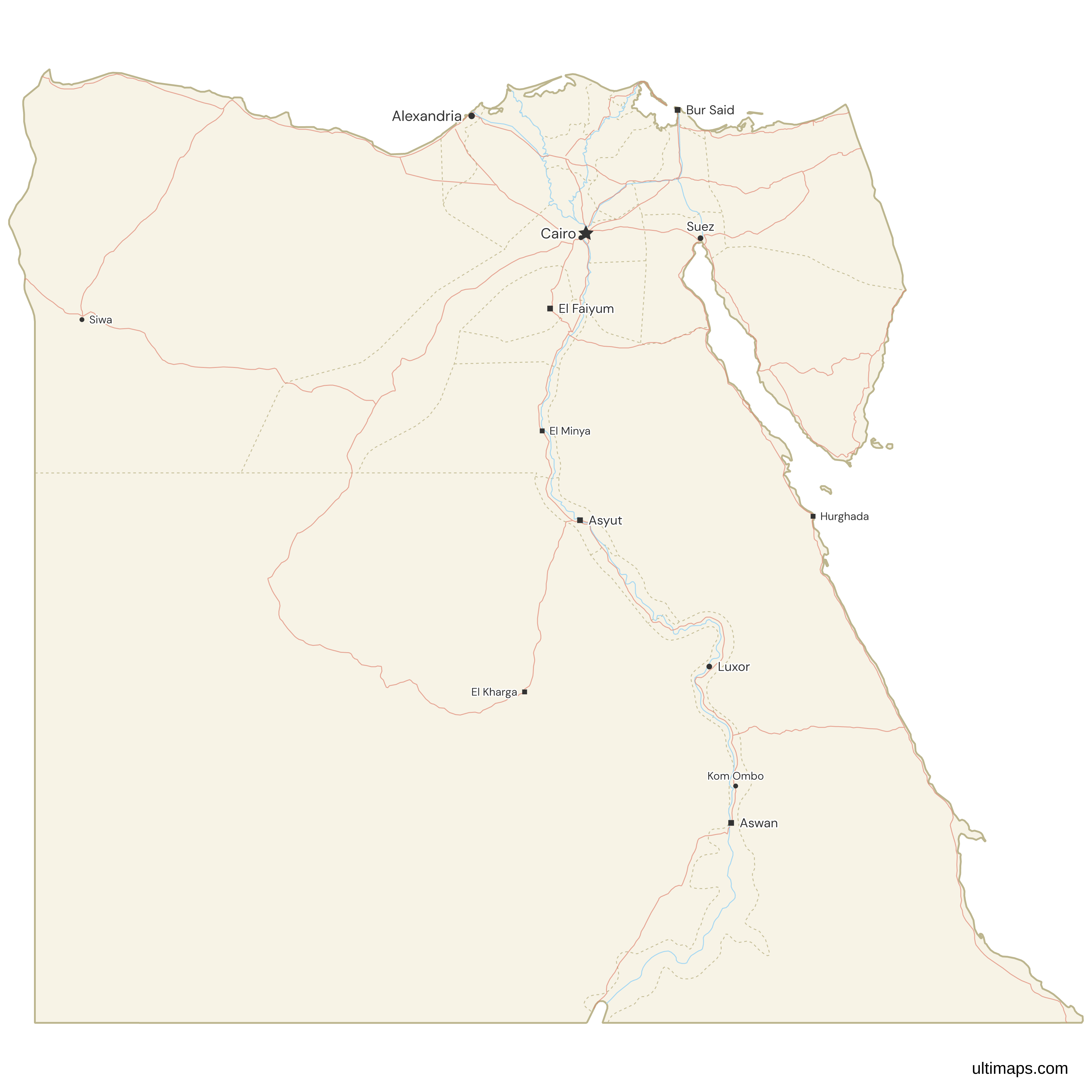
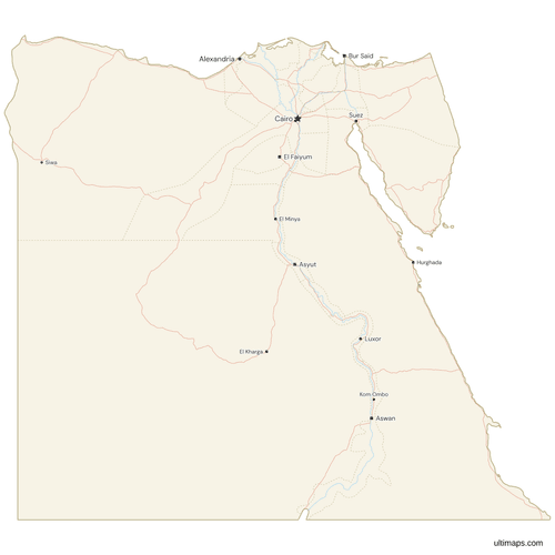 Map of Egypt with Cities and Roadspng669 KB
Need it without colors? The blank version of this map comes as a print-ready PDF (A4 and US Letter), a PNG and an editable SVG.
Custom Map Features
This map supports labels.
This map supports surrounding areas, roads, rivers and cities. New
This map is divided into 27 governorates.
Updates
September 28, 2026:
- Rewrote the page for all 27 governorates, with 2017 census figures and CAPMAS areas
Apr 14, 2024:
- Added map of Egypt Governorates
Frequently Asked Questions
Egypt has 27 governorates. This is the official count used by the government and by CAPMAS, and the Ultimaps map of Egypt shows the same 27. The number has changed more than once in recent years. Egypt created the Helwan and 6th of October governorates in April 2008, and Luxor became a governorate in December 2009, which raised the total to 29. In April 2011 Helwan went back to Cairo and 6th of October went back to Giza, so the count returned to 27. The President of Egypt appoints each governor.
Egypt has no states. Its first-level administrative divisions are the 27 governorates, called muhafazat in Arabic (محافظات, singular muhafazah). English texts often translate the word as "provinces," so "Egypt provinces" and "Egypt governorates" mean the same 27 units. Egypt is a unitary state. Its governorates carry out national policy and do not pass their own laws the way US states do. Each governorate is led by a governor appointed by the President. Governorates are divided into markaz (rural districts), qism (urban districts), cities and villages. In Arabic, a map of the governorates is called خريطة محافظات مصر.
New Valley (Al Wadi al Jadid) is Egypt's largest governorate by area. The governorate gives its area as 440,098 km² (169,923 sq mi), about 44% of Egypt. It lies in the Western Desert and borders both Libya and Sudan. It includes the Kharga, Dakhla and Farafra oases, and its capital is Kharga. New Valley is very large but has few people compared with the Nile Valley and Delta governorates. At the other end of the scale, Damietta covers about 910 km² (351 sq mi) at the mouth of the Damietta branch of the Nile. That makes New Valley more than 400 times the size of Egypt's smallest governorate.
Cairo Governorate is the most populated governorate in Egypt. The 2017 census by CAPMAS counted 9,539,673 residents there. It contains Cairo, the national capital, which is the seat of the presidency, parliament and most ministries. Downtown Cairo, the Egyptian Museum and the historic Islamic quarter are also in this governorate. Giza, on the west bank of the Nile, was the second most populous governorate in the 2017 census, with 8,632,021 people. The least populous was South Sinai, with 102,018 residents in the 2017 census. Most of its people live in El Tor, the capital, and in the resort city of Sharm el-Sheikh.
Egypt's 27 governorates are often grouped into five areas. Greater Cairo includes Cairo, Giza and Qalyubia. The Nile Delta includes Alexandria, Beheira, Kafr el-Sheikh, Gharbia, Monufia, Dakahlia, Damietta and Sharqia. The Suez Canal and Sinai group includes Port Said, Ismailia, Suez, North Sinai and South Sinai. Middle and Upper Egypt includes Faiyum, Beni Suef, Minya, Asyut, Sohag, Qena, Luxor and Aswan. The frontier governorates are Matrouh, New Valley and Red Sea. The groups contain 3, 8, 5, 8 and 3 governorates, for a total of 27. Sources group them differently. Some treat Alexandria separately from the Delta, and some place Faiyum in Upper Egypt.
Greater Cairo covers three governorates: Cairo, Giza and Qalyubia. Cairo Governorate contains the national capital on the east bank of the Nile. Giza Governorate is on the west bank and includes the pyramid plateau and the satellite city of 6th of October. Qalyubia lies north of Cairo, where the Nile splits into its Delta branches. In the 2017 census CAPMAS counted 9,539,673 people in Cairo, 8,632,021 in Giza and 5,627,420 in Qalyubia, a combined 23,799,114. Between 2008 and 2011, parts of Cairo and Giza belonged to the Helwan and 6th of October governorates, so older datasets can split this area differently.
Egypt's governorate names come from Arabic, and English sources transliterate them in different ways. Faiyum also appears as Fayoum or Al Fayyum, Qalyubia as Qalioubiya, and Gharbia as Gharbiya. On the Ultimaps map, Cairo, Alexandria, Giza, Port Said, Suez, Ismailia, Luxor and Aswan use their English names. The other governorates use transliterations, such as Al Wadi al Jadid for New Valley, Janub Sina' for South Sinai, Shamal Sina' for North Sinai, Al Bahr al Ahmar for Red Sea, Dumyat for Damietta, Suhaj for Sohag and Qina for Qena. Knowing both forms helps you match your data to the right governorate.
You can make a custom map of Egypt's 27 governorates in the Ultimaps editor on this page. It is free and does not require an account. For a category map, choose a color for each governorate, for example one color for the Nile Valley and Delta and another for the frontier governorates. For a data map, enter one number per governorate, such as 2017 census population. The editor then colors the governorates on a scale and adds a legend. You can also add markers for places like Hurghada or Aswan, and you can change the palette and label style. A free export is a standard PNG with a small Ultimaps credit. High-resolution PNG, SVG and PDF export are Pro features.