Map of California Counties
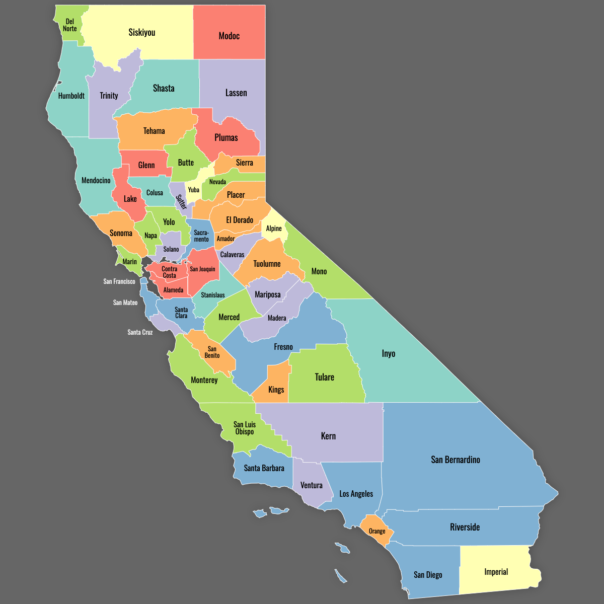
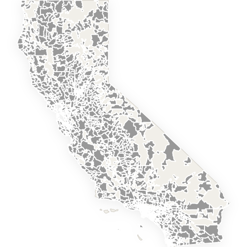
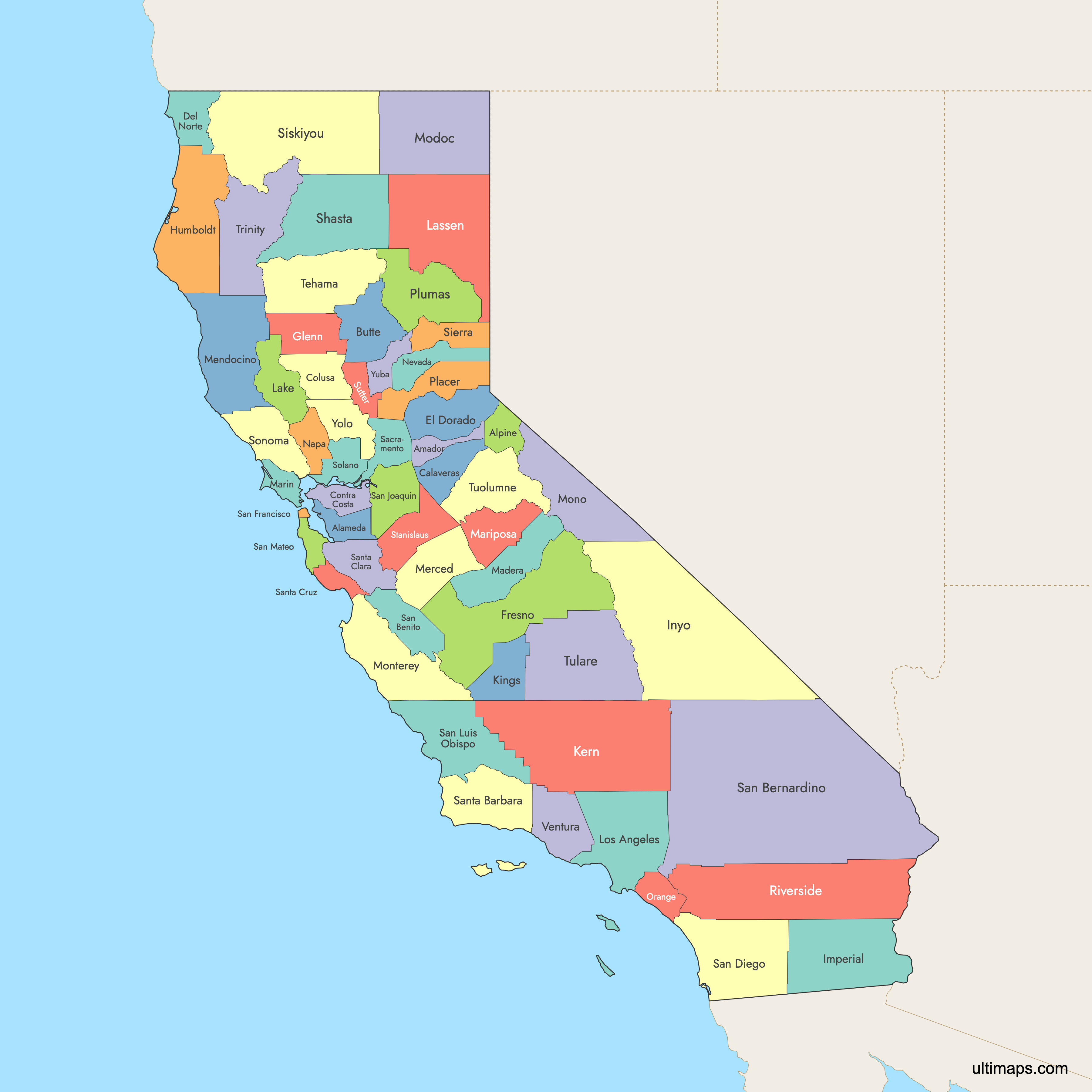
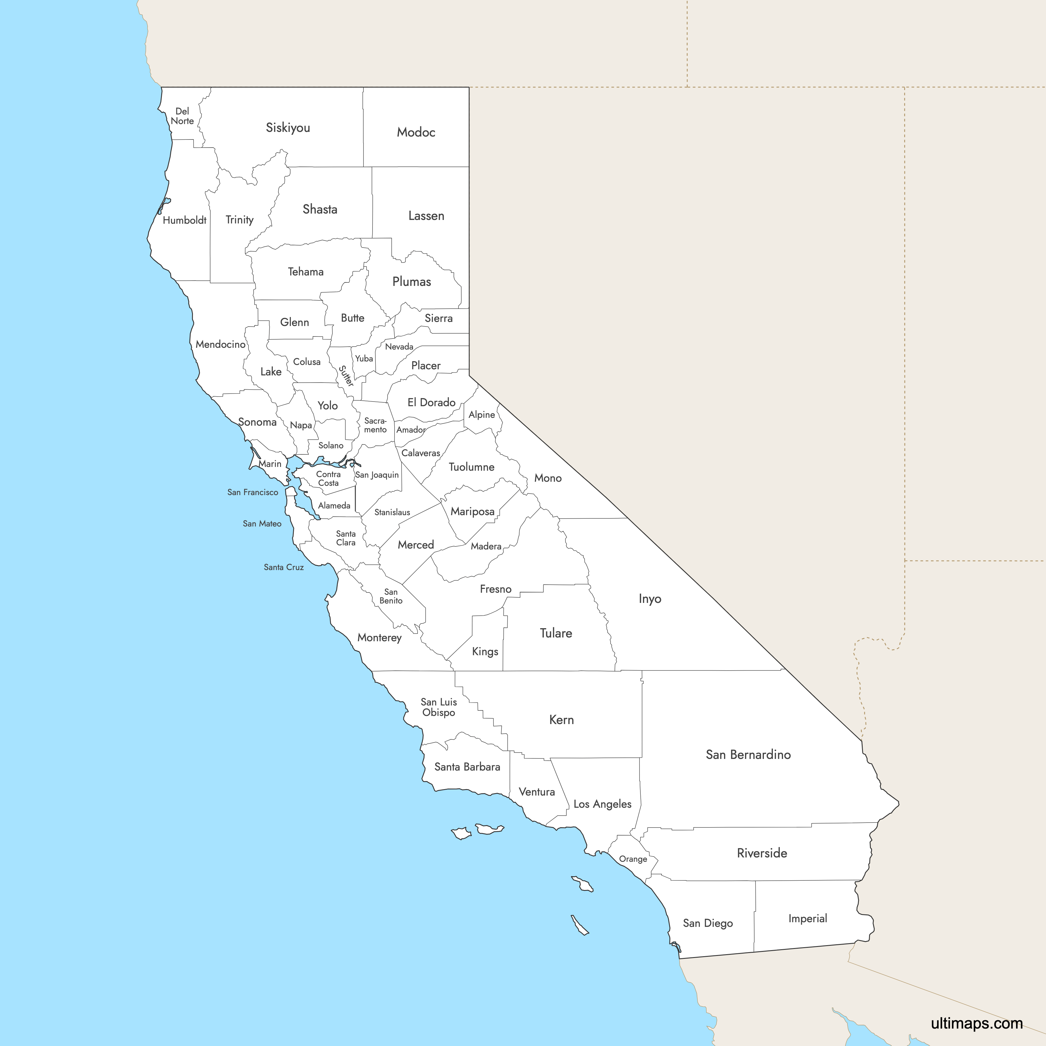
California is divided into 58 counties that range from tiny San Francisco to vast San Bernardino. Use the interactive maps below to explore counties and their boundaries. Download free maps or learn more about creating a custom California county map to highlight your own data.
Interactive Map of California Counties
List of Counties (58)
| # | County | County seat | Year founded |
|---|---|---|---|
| 1 | Alameda | Oakland | 1853 |
| 2 | Alpine | Markleeville | 1864 |
| 3 | Amador | Jackson | 1854 |
| 4 | Butte | Oroville | 1850 |
| 5 | Calaveras | San Andreas | 1850 |
| 6 | Colusa | Colusa | 1850 |
| 7 | Contra Costa | Martinez | 1850 |
| 8 | Del Norte | Crescent City | 1857 |
| 9 | El Dorado | Placerville | 1850 |
| 10 | Fresno | Fresno | 1856 |
| 11 | Glenn | Willows | 1891 |
| 12 | Humboldt | Eureka | 1853 |
| 13 | Imperial | El Centro | 1907 |
| 14 | Inyo | Independence | 1866 |
| 15 | Kern | Bakersfield | 1866 |
| 16 | Kings | Hanford | 1893 |
| 17 | Lake | Lakeport | 1861 |
| 18 | Lassen | Susanville | 1864 |
| 19 | Los Angeles | Los Angeles | 1850 |
| 20 | Madera | Madera | 1893 |
| 21 | Marin | San Rafael | 1850 |
| 22 | Mariposa | Mariposa | 1850 |
| 23 | Mendocino | Ukiah | 1850 |
| 24 | Merced | Merced | 1855 |
| 25 | Modoc | Alturas | 1874 |
| 26 | Mono | Bridgeport | 1861 |
| 27 | Monterey | Salinas | 1850 |
| 28 | Napa | Napa | 1850 |
| 29 | Nevada | Nevada City | 1851 |
| 30 | Orange | Santa Ana | 1889 |
| 31 | Placer | Auburn | 1851 |
| 32 | Plumas | Quincy | 1854 |
| 33 | Riverside | Riverside | 1893 |
| 34 | Sacramento | Sacramento | 1850 |
| 35 | San Benito | Hollister | 1874 |
| 36 | San Bernardino | San Bernardino | 1853 |
| 37 | San Diego | San Diego | 1850 |
| 38 | San Francisco | San Francisco | 1850 |
| 39 | San Joaquin | Stockton | 1850 |
| 40 | San Luis Obispo | San Luis Obispo | 1850 |
| 41 | San Mateo | Redwood City | 1856 |
| 42 | Santa Barbara | Santa Barbara | 1850 |
| 43 | Santa Clara | San Jose | 1850 |
| 44 | Santa Cruz | Santa Cruz | 1850 |
| 45 | Shasta | Redding | 1850 |
| 46 | Sierra | Downieville | 1852 |
| 47 | Siskiyou | Yreka | 1852 |
| 48 | Solano | Fairfield | 1850 |
| 49 | Sonoma | Santa Rosa | 1850 |
| 50 | Stanislaus | Modesto | 1854 |
| 51 | Sutter | Yuba City | 1850 |
| 52 | Tehama | Red Bluff | 1856 |
| 53 | Trinity | Weaverville | 1850 |
| 54 | Tulare | Visalia | 1852 |
| 55 | Tuolumne | Sonora | 1850 |
| 56 | Ventura | Ventura | 1872 |
| 57 | Yolo | Woodland | 1850 |
| 58 | Yuba | Marysville | 1850 |
California Counties: Key Facts
- Number of counties: 58
- Largest county by area: San Bernardino County - 20 105 square miles
- Smallest county by land area: San Francisco County - 47 square miles
- Most populous county: Los Angeles County - approx. 9.7 million residents
- Counties with major cities: Los Angeles (Los Angeles), San Diego (San Diego), Santa Clara (San Jose), Alameda (Oakland)
- Time zone: Entire state observes Pacific Time
- Neighboring states: California borders Oregon, Nevada, and Arizona
- International border: with Baja California, Mexico
- The City and County of San Francisco is California’s only consolidated city-county
- California began statehood in 1850 with 27 counties
- County boundaries largely unchanged since 1907, when Imperial County was created from eastern San Diego County
Free Downloads
Free for personal and commercial use with a credit to Ultimaps. See the license terms for details.
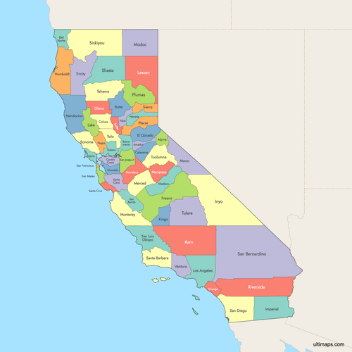 Colored Map of California Counties with Surrounding Areaspng671 KB
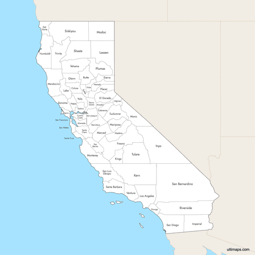 Labeled Map of California Counties with Surrounding Areaspng656 KB
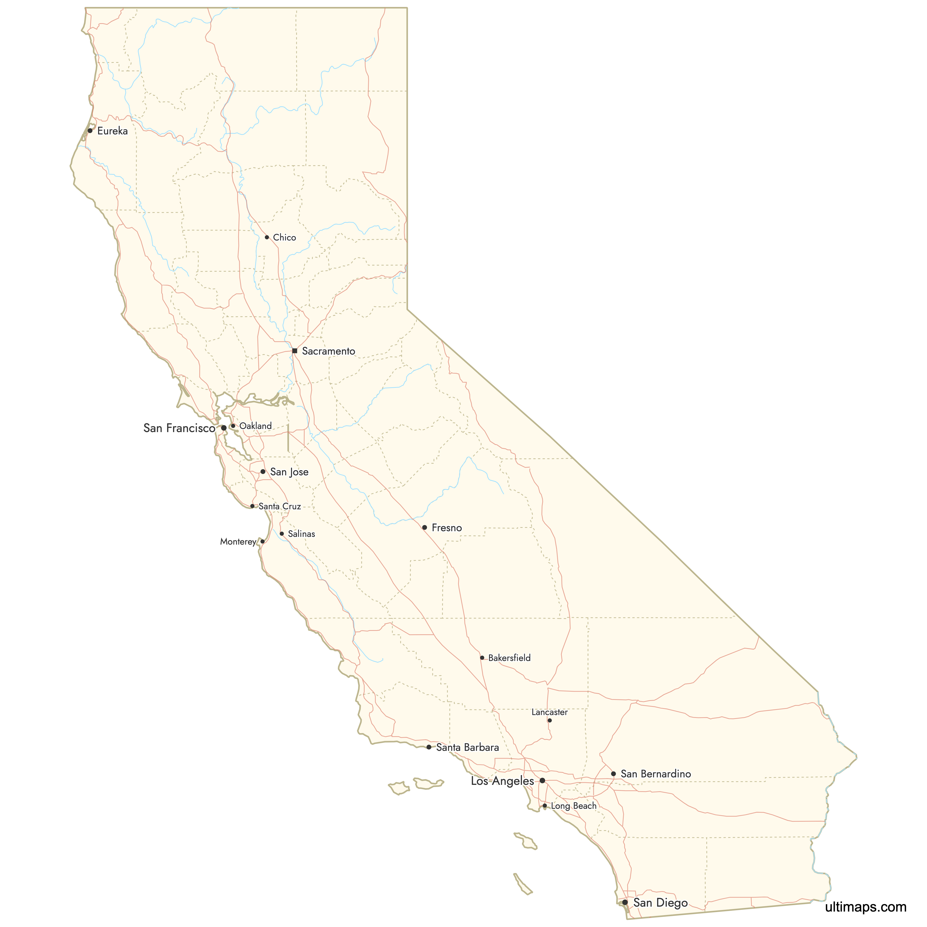
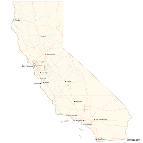 Map of California Counties with Citiespng969 KB
Need it without colors? The blank version of this map comes as a print-ready PDF (A4 and US Letter), a PNG and an editable SVG.
Custom Map Features
This map supports labels.
This map supports surrounding areas, roads, rivers and cities. New
This map is divided into 58 counties.
Updates
Aug 6, 2025:
- Improved map quality
- Added support for surrounding areas and lakes
Aug 26, 2024:
- Added map of California Counties