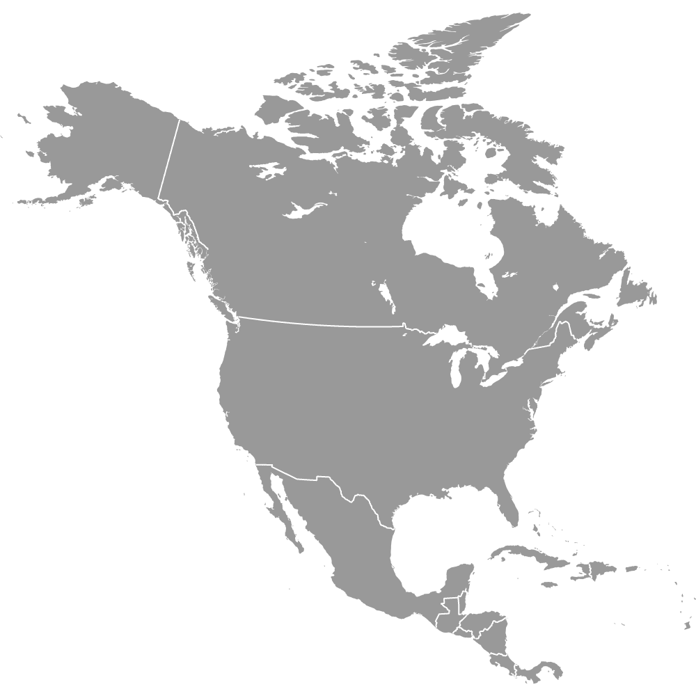
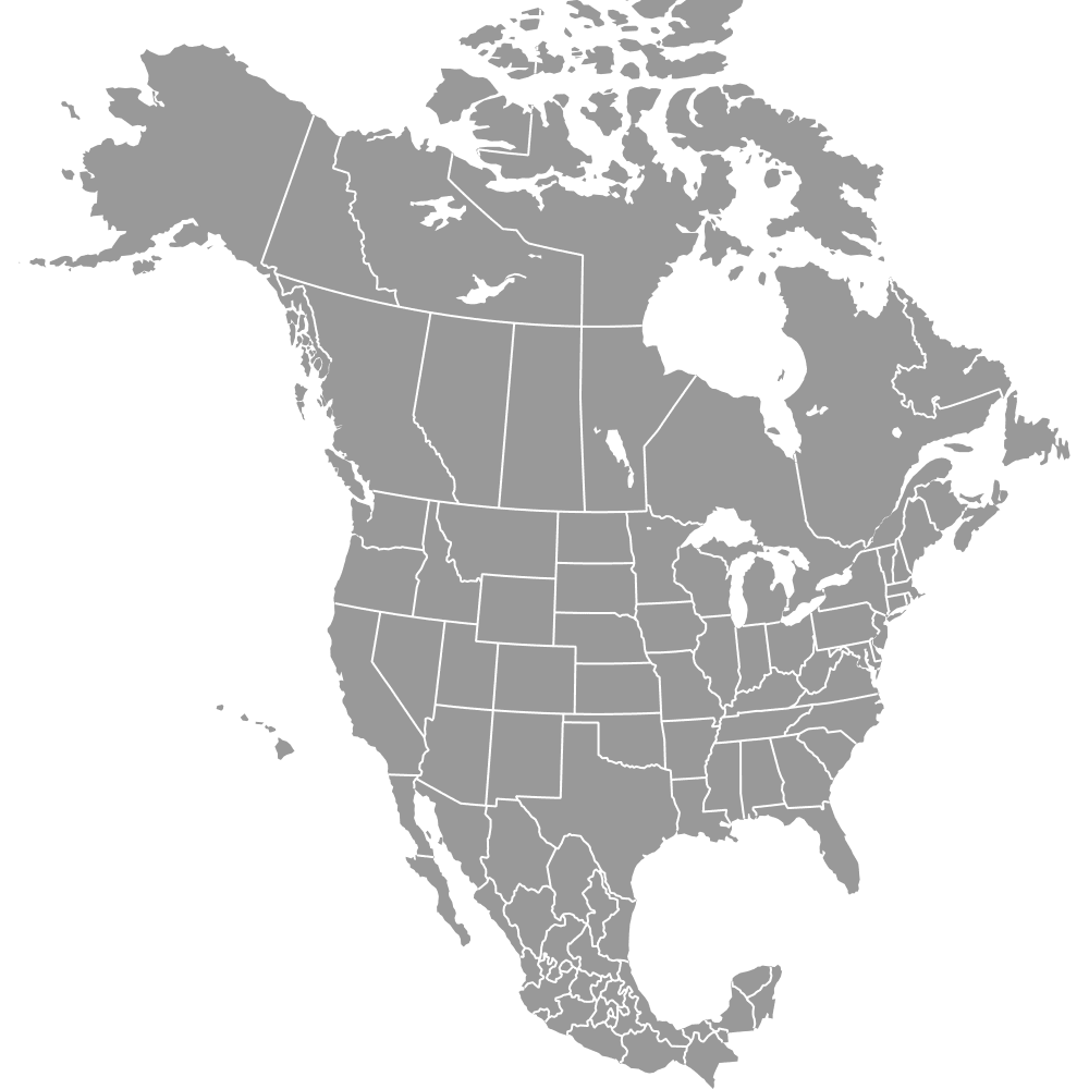
Map of Mexico States
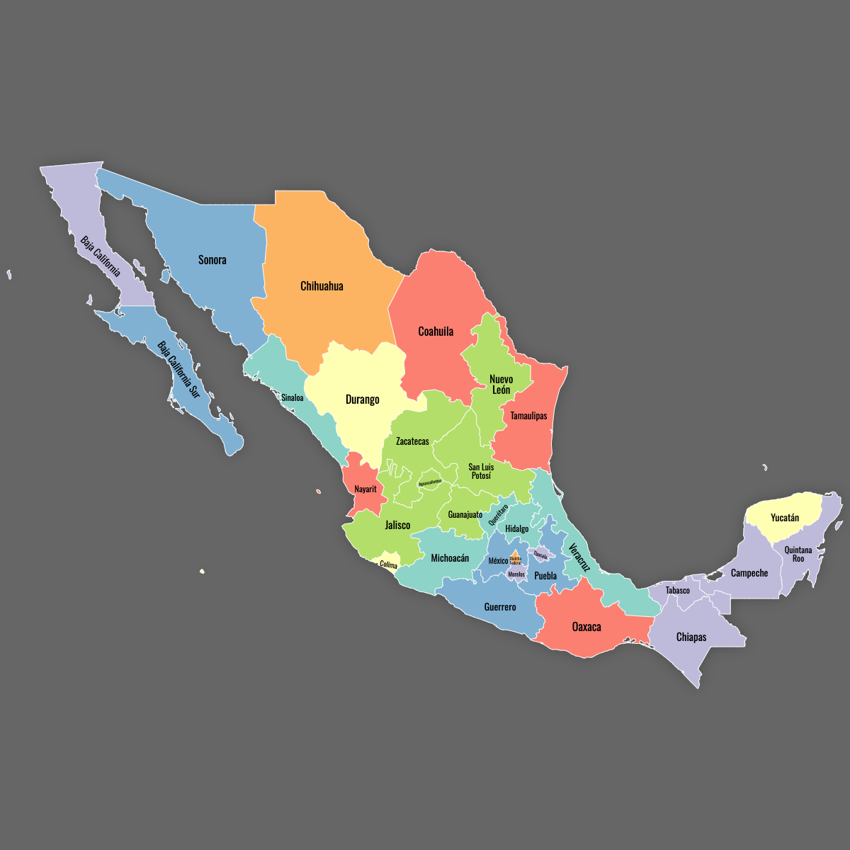
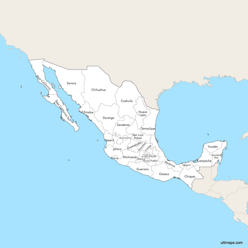
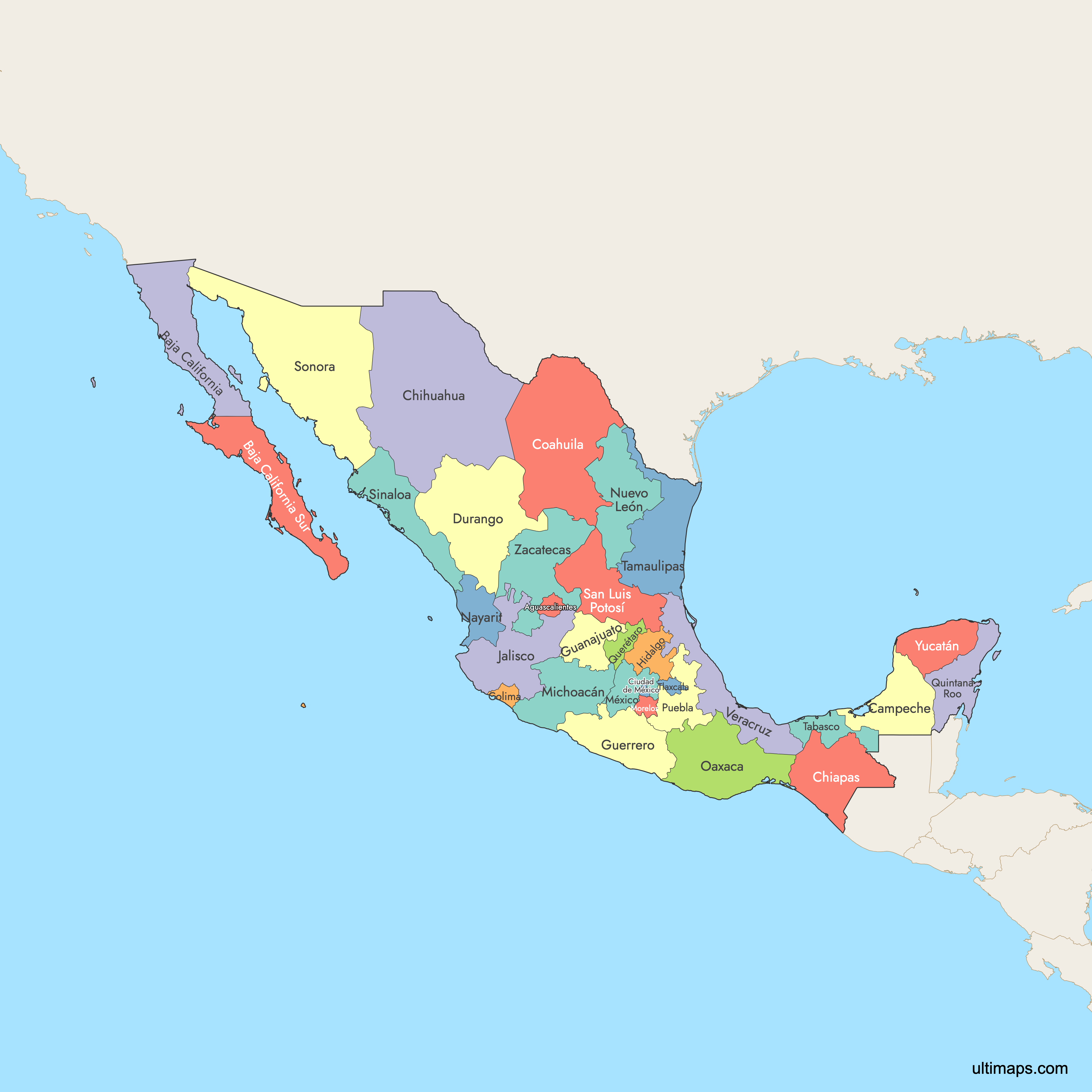
Mexico is divided into 31 states and 1 federal district, each with its own unique history and geography. Use the interactive maps below to explore state boundaries and major cities. Download free maps or learn more about creating a custom map of Mexico to visualize your own data.
Interactive Map of Mexico States
List of States (32)
| # | State |
|---|---|
| 1 | Aguascalientes |
| 2 | Baja California |
| 3 | Baja California Sur |
| 4 | Campeche |
| 5 | Chiapas |
| 6 | Chihuahua |
| 7 | Ciudad de México |
| 8 | Coahuila |
| 9 | Colima |
| 10 | Durango |
| 11 | Guanajuato |
| 12 | Guerrero |
| 13 | Hidalgo |
| 14 | Jalisco |
| 15 | México |
| 16 | Michoacán |
| 17 | Morelos |
| 18 | Nayarit |
| 19 | Nuevo León |
| 20 | Oaxaca |
| 21 | Puebla |
| 22 | Querétaro |
| 23 | Quintana Roo |
| 24 | San Luis Potosí |
| 25 | Sinaloa |
| 26 | Sonora |
| 27 | Tabasco |
| 28 | Tamaulipas |
| 29 | Tlaxcala |
| 30 | Veracruz |
| 31 | Yucatán |
| 32 | Zacatecas |
Mexico States: Key Facts
- Number of States: 31 states and 1 federal district (Mexico City).
- Largest State by Area: Chihuahua - 96,567 square miles (249,999 km²).
- Smallest State by Area: Tlaxcala - 1,645 square miles (4,260 km²).
- Most Populous State: Estado de México - approximately 17,034,000 (2020 census).
- Least Populous State: Baja California Sur - approximately 798,447 (2020 census).
- Most Populous Federal District: Mexico City - approximately 9,209,944 (2020 census).
- States with Major Urban Centers: Mexico City, Estado de México, Jalisco (Guadalajara), Nuevo León (Monterrey), Puebla, and Veracruz.
- Neighboring Countries: United States (north), Belize (southeast), Guatemala (southeast).
- Timezones: Central Standard Time (CST), Mountain Standard Time (MST), Pacific Standard Time (PST), and Northwest Standard Time (NWT).
- Interesting Fact: Chihuahua is larger than Italy.
Mexico's states were formed through territorial divisions after independence in 1821. Most state boundaries have remained unchanged since the 19th century, with the last major change in 1974 (creation of Baja California Sur).
Free Downloads
Free for personal and commercial use with a credit to Ultimaps. See the license terms for details.
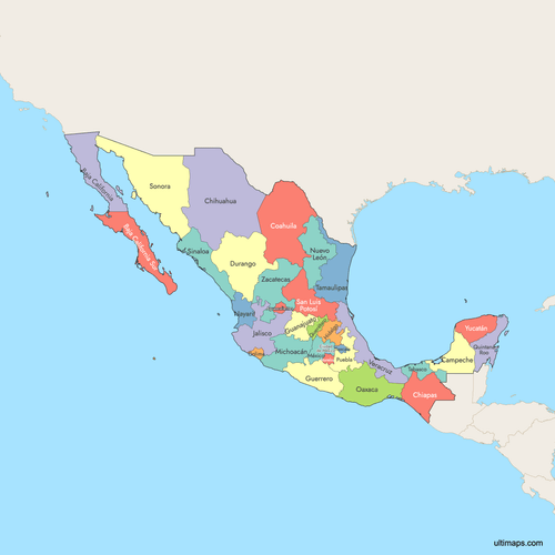 Colored Map of Mexico States with Surrounding Areaspng755 KB
 Labeled Map of Mexico States with Surrounding Areaspng733 KB
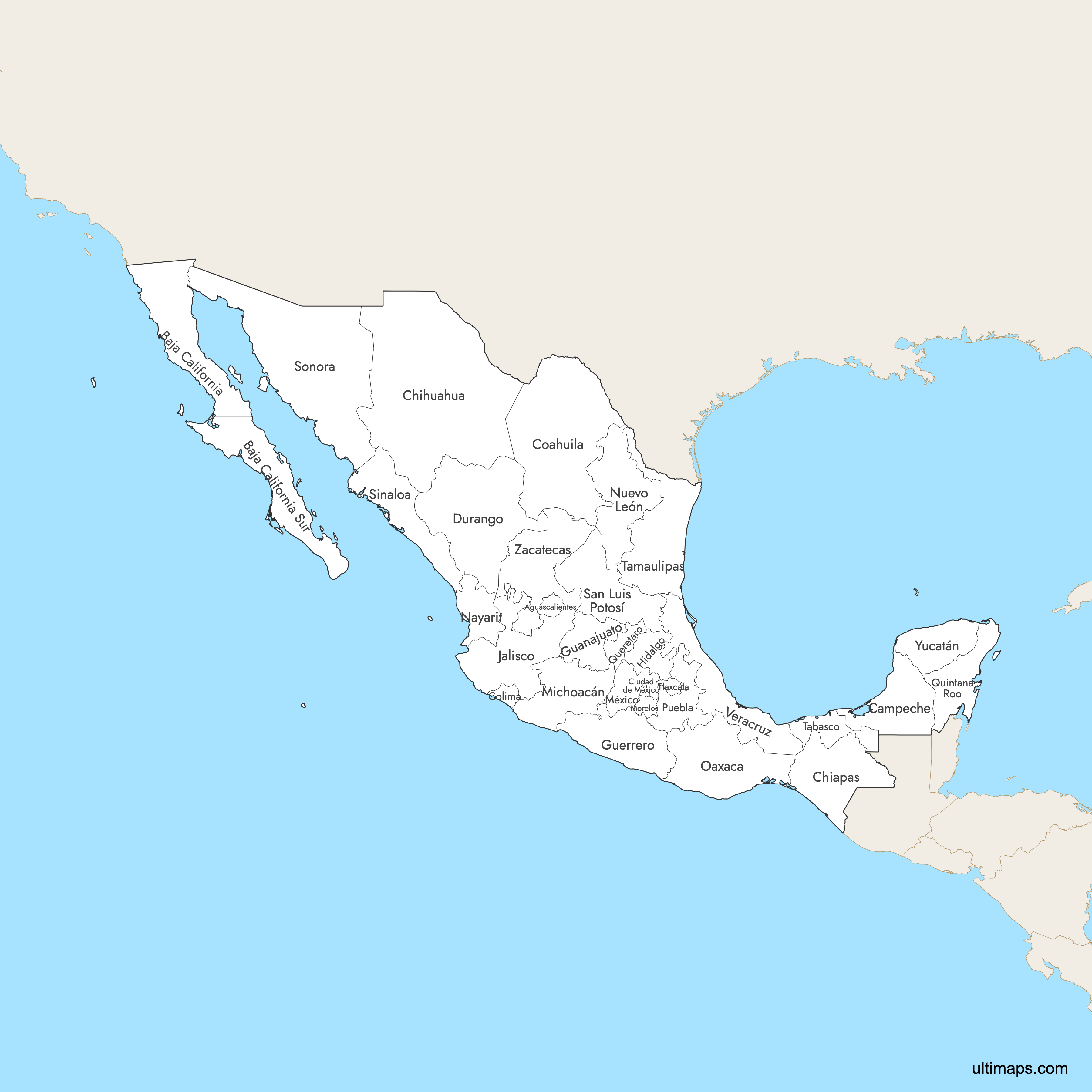
Need it without colors? The blank version of this map comes as a print-ready PDF (A4 and US Letter), a PNG and an editable SVG.
Custom Map Features
This map supports labels.
This map supports surrounding areas, roads, rivers and cities. New
This map is divided into 32 states.
Updates
Jul 25, 2025:
- Improved map quality
- Added support for surrounding areas and lakes
Feb 7, 2025:
- Added map of Mexico states and its labeled version
Frequently Asked Questions
Mexico is divided into 32 federal entities: 31 states and 1 federal district (Mexico City).
Chihuahua is the largest state in Mexico, with an area of 96,567 square miles (249,999 km²).
You can use Ultimaps to create custom maps of Mexico. Color-code states manually or upload data, place pins, customize look and feel and export to PNG, PDF or SVG.
Estado de México is the most populous state, with a population of approximately 17,034,000 (2020 census).
Tlaxcala is the smallest state in Mexico, with an area of 1,645 square miles (4,260 km²).
Yes, you can download free maps of Mexico's states from our website in PNG, PDF or SVG formats.