Map of Arizona Counties
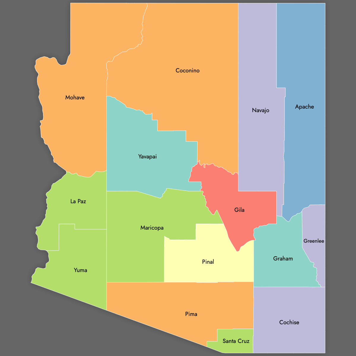
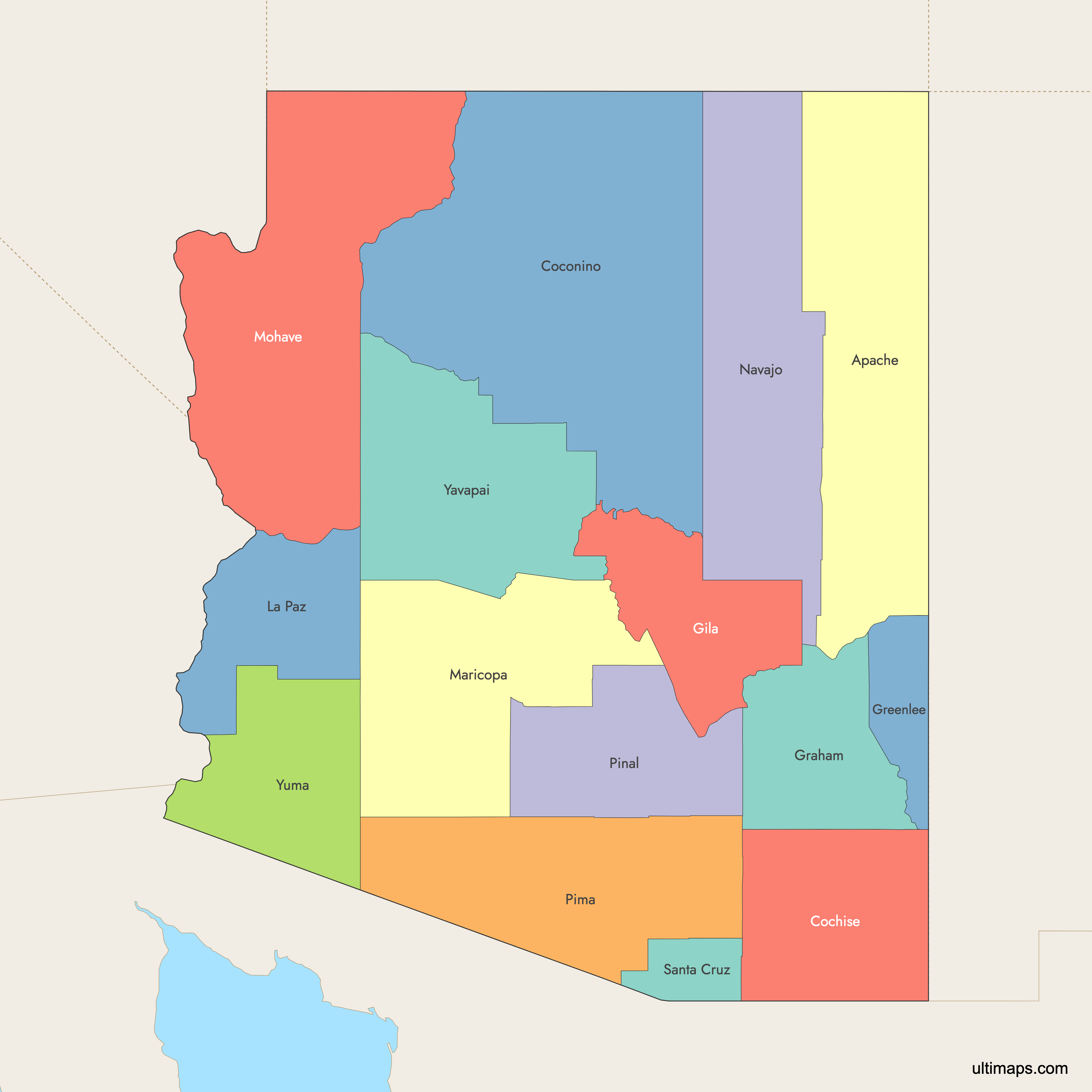
Arizona is divided into 15 counties, each with its own unique geography and population. Use the interactive maps below to explore counties and their boundaries. Download free maps or learn more about creating a custom map of Arizona to visualize your own data.
Interactive Map of Arizona Counties
List of Counties (15)
| # | County | County seat | Year founded |
|---|---|---|---|
| 1 | Apache | St. Johns | 1879 |
| 2 | Cochise | Bisbee | 1881 |
| 3 | Coconino | Flagstaff | 1891 |
| 4 | Gila | Globe | 1881 |
| 5 | Graham | Safford | 1881 |
| 6 | Greenlee | Clifton | 1909 |
| 7 | La Paz | Parker | 1983 |
| 8 | Maricopa | Phoenix | 1871 |
| 9 | Mohave | Kingman | 1864 |
| 10 | Navajo | Holbrook | 1895 |
| 11 | Pima | Tucson | 1864 |
| 12 | Pinal | Florence | 1875 |
| 13 | Santa Cruz | Nogales | 1899 |
| 14 | Yavapai | Prescott | 1864 |
| 15 | Yuma | Yuma | 1864 |
Arizona Counties: Key Facts
- Total number of counties: 15
- Largest county by area: Coconino County - 18,661 square miles
- Smallest county by area: Santa Cruz County - 1,238 square miles
- Most populous county: Maricopa County (Phoenix) - 4,507,419 residents
- Least populous county: Greenlee County - 9,563 residents
- Major urban centers: Phoenix (Maricopa), Tucson (Pima), Mesa, Chandler, Scottsdale, Glendale (all in Maricopa), Flagstaff (Coconino), Yuma (Yuma), Prescott (Yavapai)
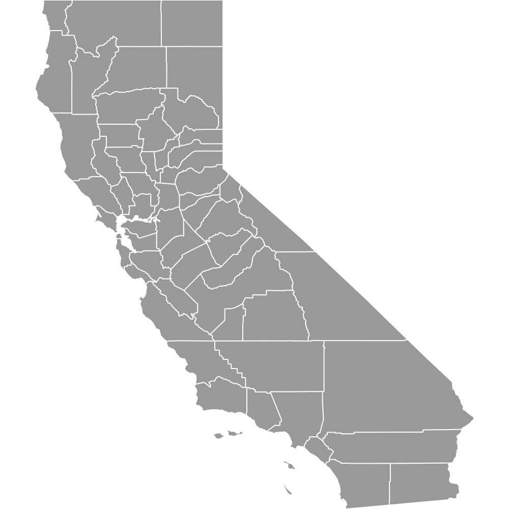
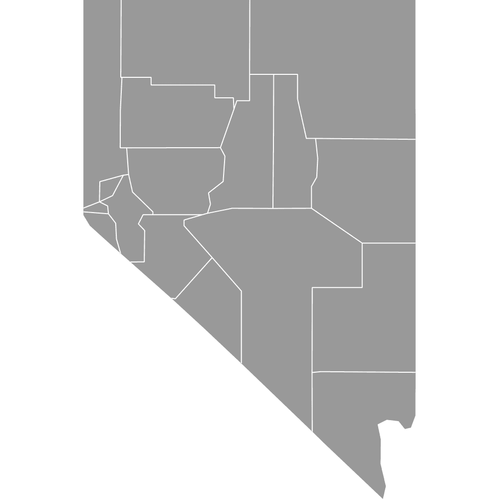
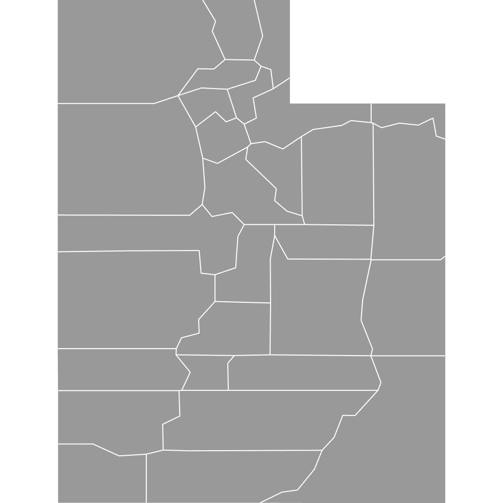
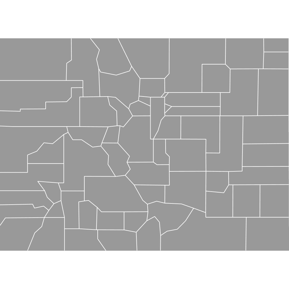
- Neighboring states: California, Nevada, Utah, Colorado, New Mexico
- Time zones: Mountain Standard Time (MST), except for the Navajo Nation which observes Daylight Saving Time
Original counties formed in 1864; current structure since 1983 with the creation of La Paz County
Interesting Facts
- Coconino County is the second-largest county by area in the contiguous U.S.
- Maricopa County is more populous than 23 U.S. states
- La Paz County is the newest, created in 1983
- Mohave County contains part of the Grand Canyon and Colorado River corridor
- The Four Corners region in Apache County is where Arizona, New Mexico, Utah, and Colorado meet
Free Downloads
Free for personal and commercial use with a credit to Ultimaps. See the license terms for details.
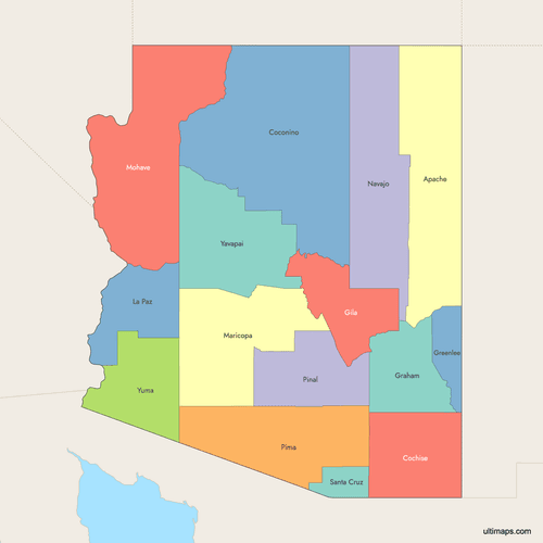 Colored Map of Arizona Counties with Surrounding Areaspng349 KB
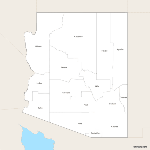 Labeled Map of Arizona Counties with Surrounding Areaspng346 KB
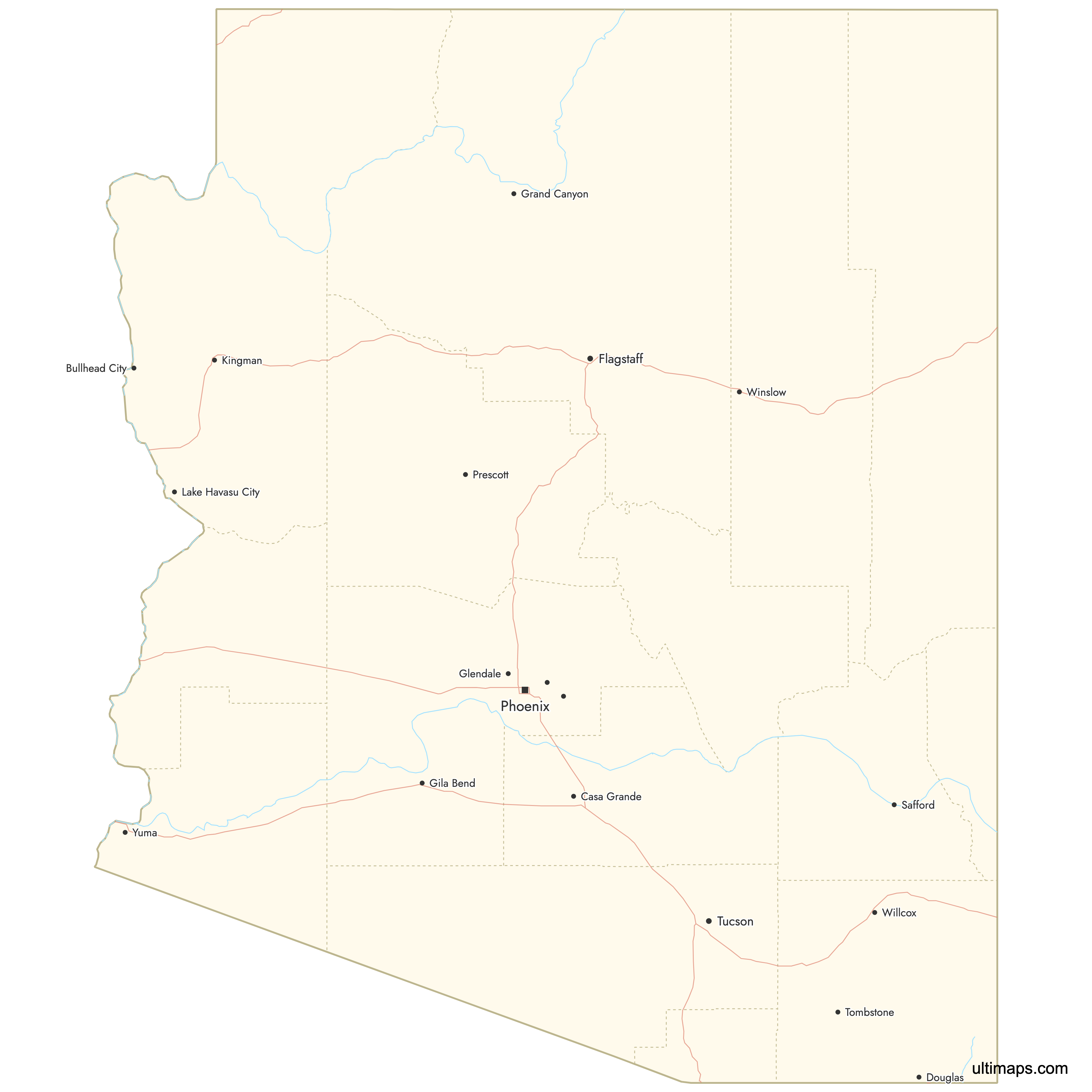
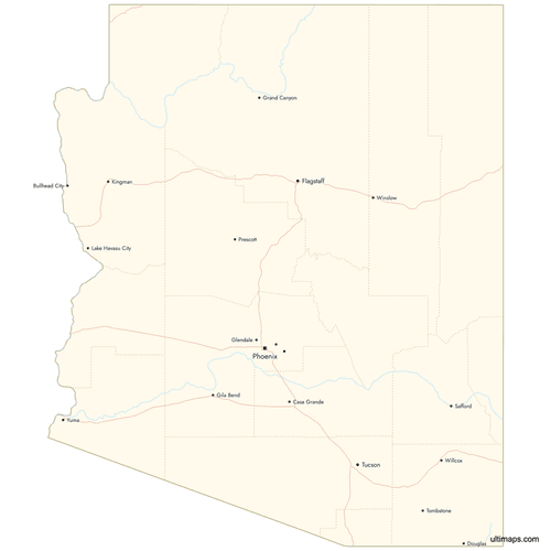 Map of Arizona Counties with Citiespng562 KB
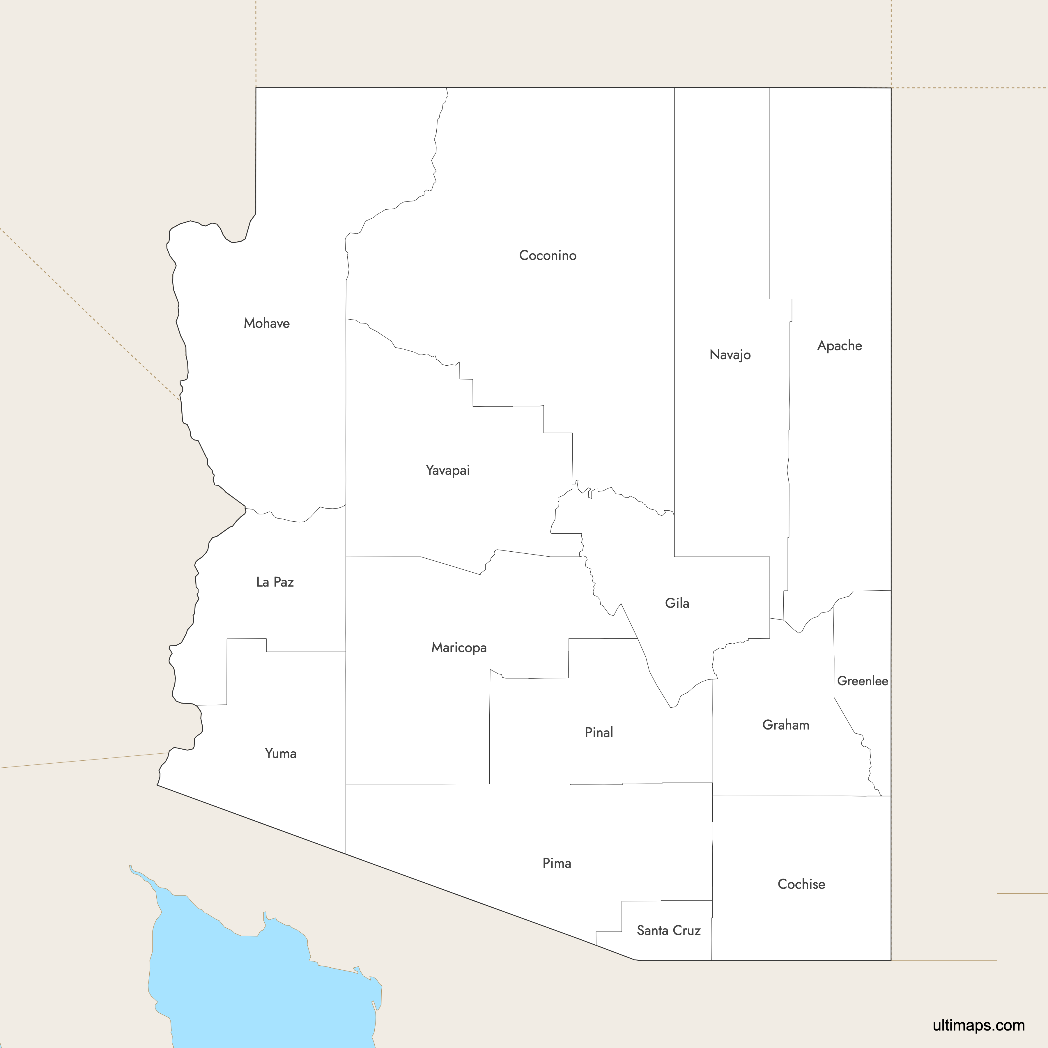
Need it without colors? The blank version of this map comes as a print-ready PDF (A4 and US Letter), a PNG and an editable SVG.
Custom Map Features
This map supports labels.
This map supports surrounding areas, roads, rivers and cities. New
This map is divided into 15 counties.
Updates
Sep 15, 2025:
- Improved map quality
- Added support for surrounding areas and lakes
Aug 26, 2024:
- Added map of Arizona Counties
Frequently Asked Questions
There are 15 counties in Arizona.
Coconino County is the largest, covering 18,661 square miles.
Santa Cruz County is the smallest, with an area of 1,238 square miles.
Maricopa County is the most populous, with 4,507,419 residents as of the 2020 Census.
Greenlee County has the lowest population, with 9,563 residents as of the 2020 Census.
The Grand Canyon park spans parts of Coconino and Mohave counties of Arizona, US.