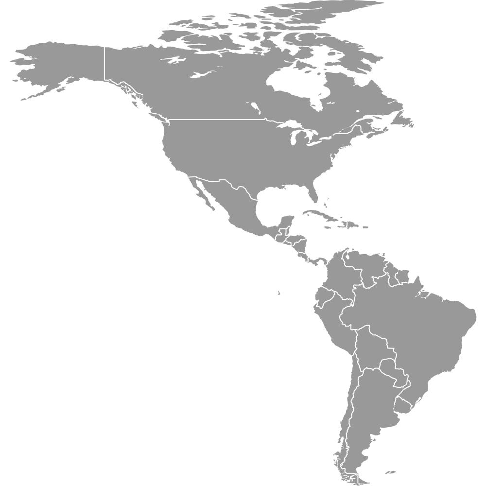
Map of South America
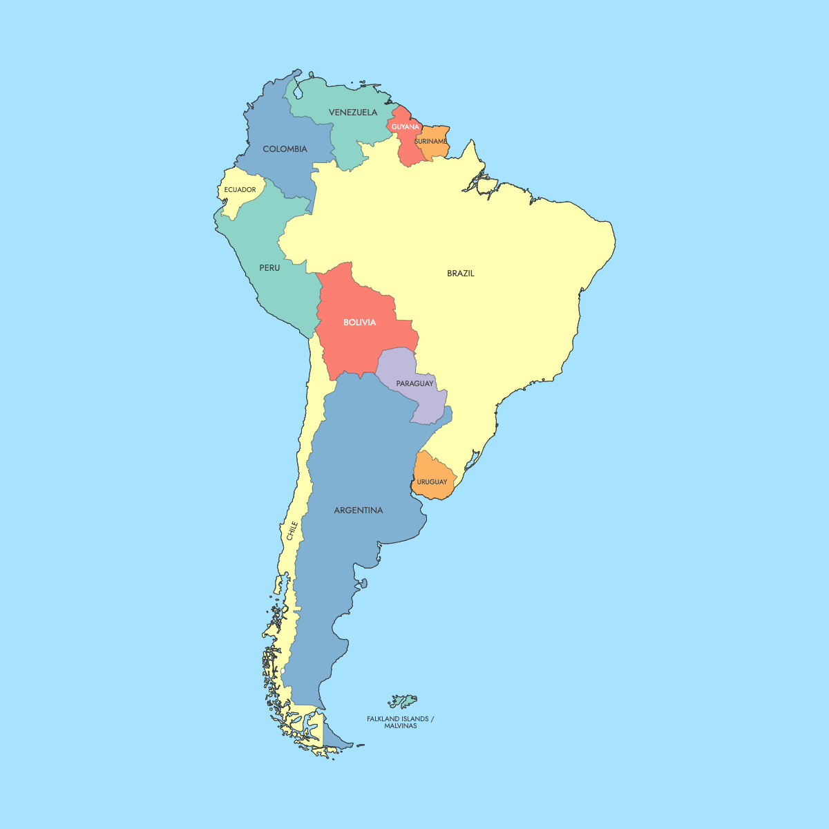
South America is home to 12 unique countries, each with rich cultural and geographical diversity. Explore the interactive maps below to learn about South American countries and their boundaries. Download free maps or learn how to create a custom map of South America to visualize your own data.
Interactive Map of South America
List of Countries (13)
South America Countries: Key Facts
- Number of Countries: 12 sovereign countries: Argentina, Bolivia, Brazil, Chile, Colombia, Ecuador, Guyana, Paraguay, Peru, Suriname, Uruguay, and Venezuela.
- Largest Country by Area: Brazil covers 8,515,767 km².
- Smallest Country by Area: Suriname covers 163,820 km².
- Most Populous Country: Brazil with over 214 million people.
- Least Populous Country: Suriname with approximately 623,000 people.
- Major Urban Centers: São Paulo, Brazil (over 12 million residents); Buenos Aires, Argentina (over 15 million in the metro area); Rio de Janeiro, Brazil (over 6 million residents).
- Physical Features: Includes the Andes Mountains, Amazon River, Amazon Basin, Gran Chaco, Patagonia, and Tierra del Fuego.
- Timezones: Spans several time zones, including UTC-2 to UTC-5, with Brazil covering four time zones.
Interesting Facts
- French Guiana is an overseas region of France
- Bolivia has two capitals, La Paz and Sucre
- Guyana is the only English-speaking country
- Suriname is the only Dutch-speaking country
Free Downloads
Free for personal and commercial use with a credit to Ultimaps. See the license terms for details.
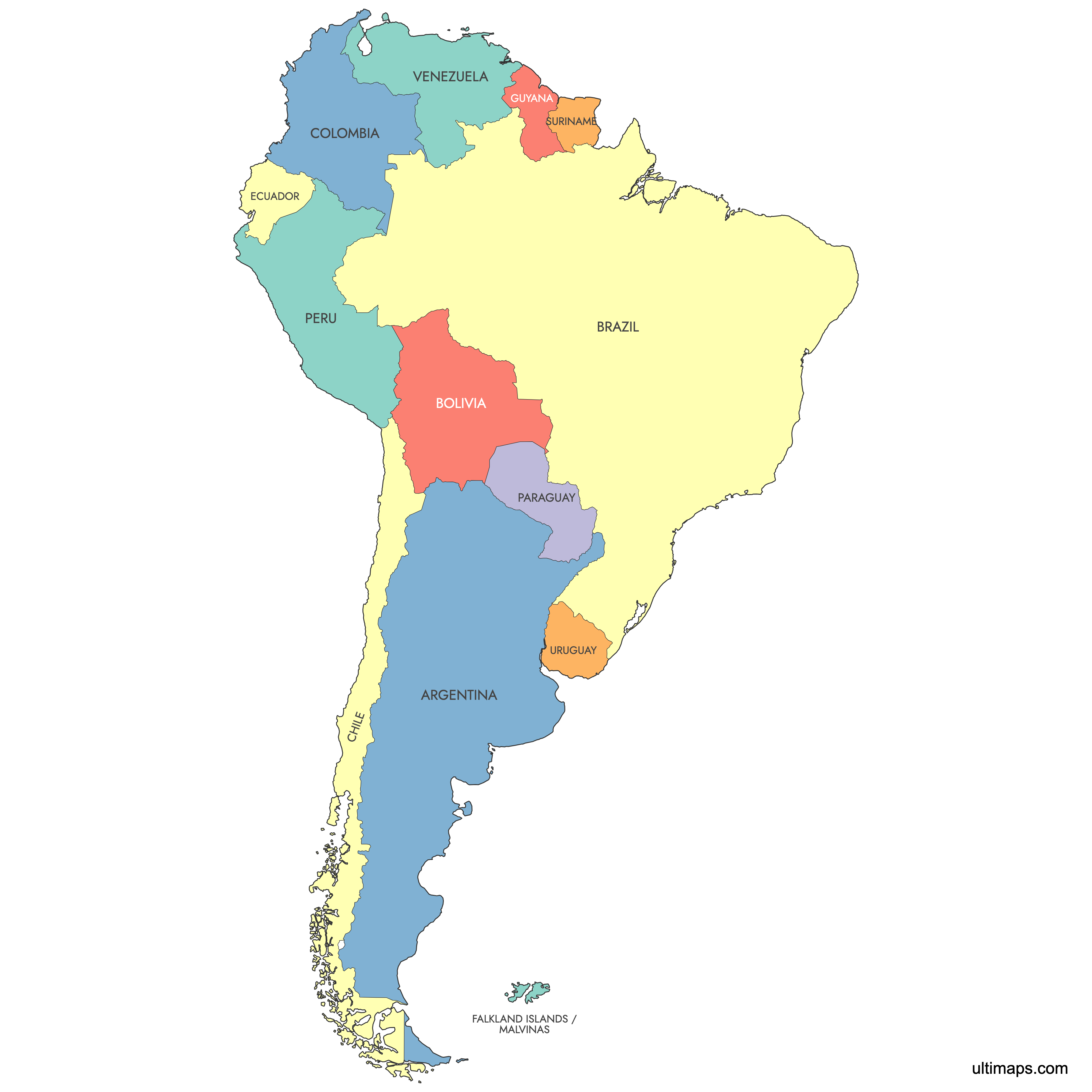
Need it without colors? The blank version of this map comes as a print-ready PDF (A4 and US Letter), a PNG and an editable SVG.
Custom Map Features
This map supports labels.
This map is divided into 13 countries.
Updates
Feb 14, 2025:
- Added labels suport
Apr 14, 2024:
- Added map of South America
Frequently Asked Questions
There are 12 sovereign countries in South America: Argentina, Bolivia, Brazil, Chile, Colombia, Ecuador, Guyana, Paraguay, Peru, Suriname, Uruguay, and Venezuela.
Brazil is the largest country, covering 8,515,767 km².
Suriname is the smallest, with an area of 163,820 km².
Brazil has the largest population, with over 214 million people as of 2023.
Major cities include São Paulo and Rio de Janeiro in Brazil, Buenos Aires in Argentina, Lima in Peru, Bogotá in Colombia, and Santiago in Chile.
The primary languages are Spanish and Portuguese (Brazil). Other official languages include English (Guyana), Dutch (Suriname), and French (French Guiana).
You can use Ultimaps to create a custom map of South America. Color-code states manually or upload data, place pins, customize look and feel and export to PNG, PDF or SVG.