Map of Brazil States
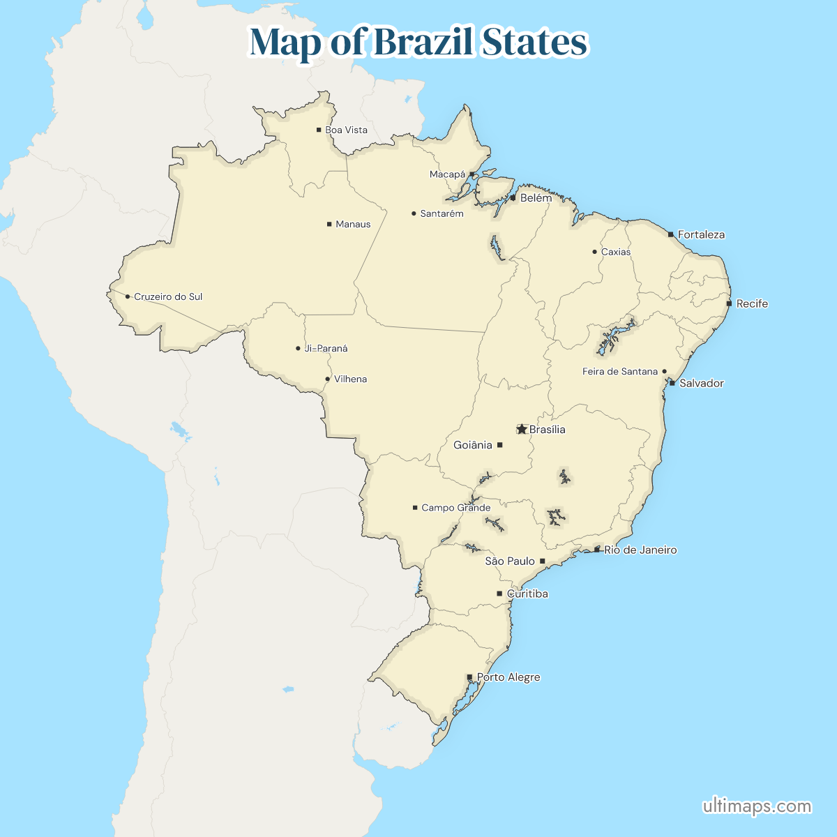
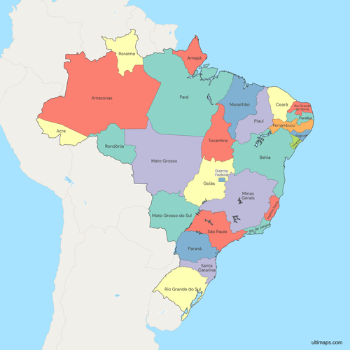
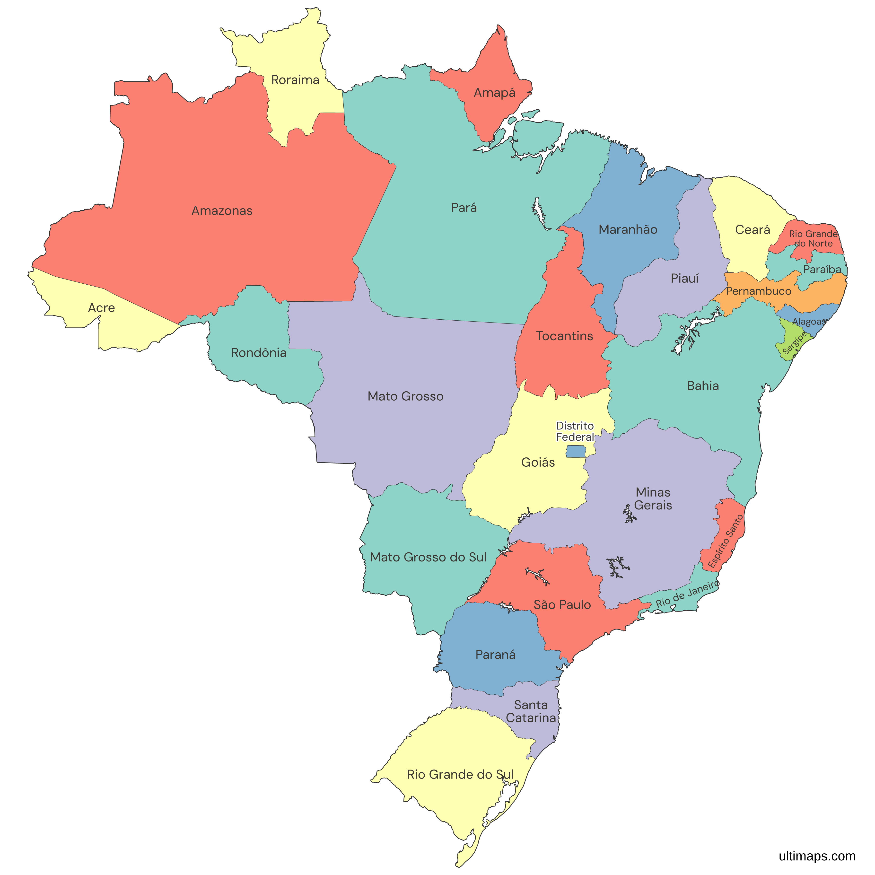
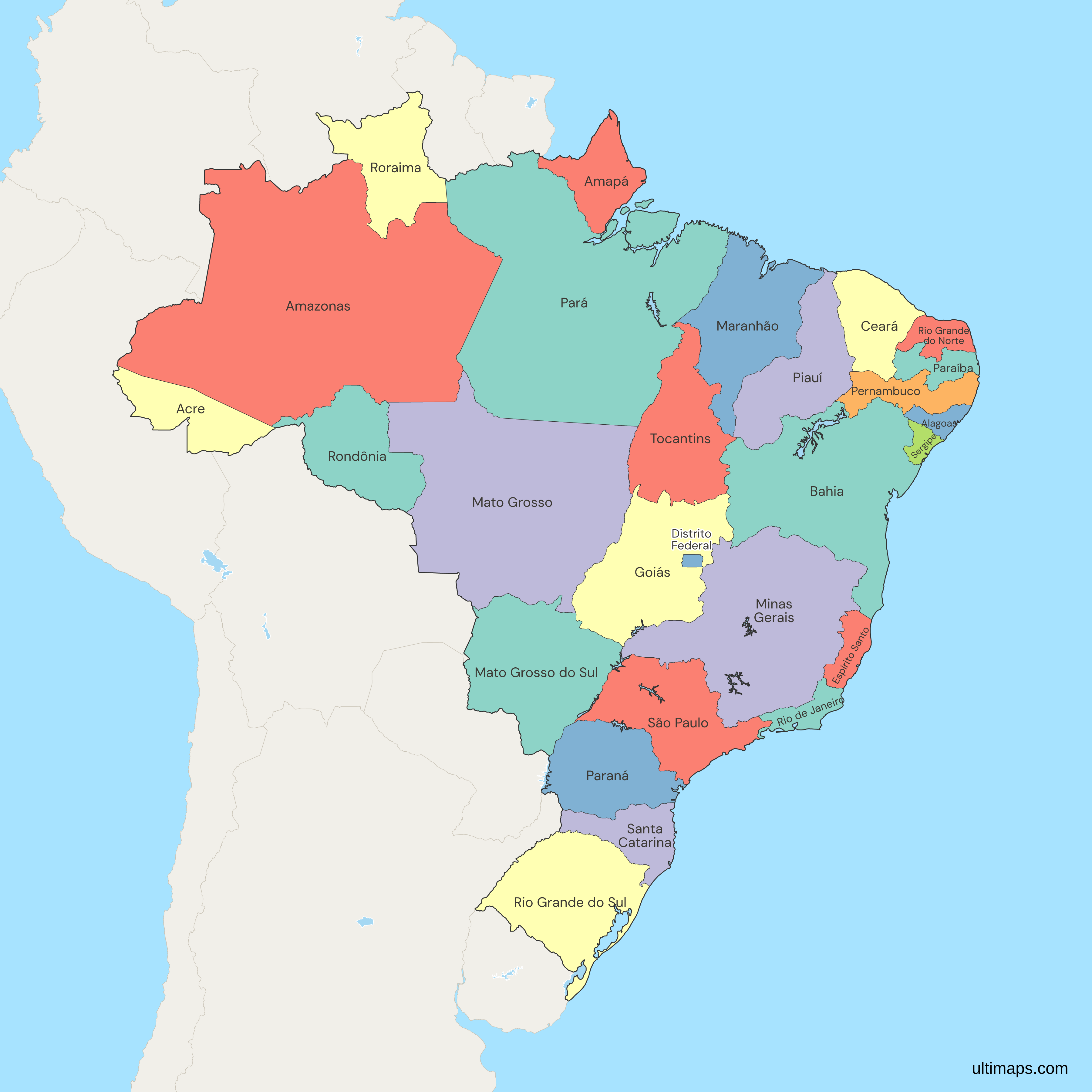
Brazil is a federation with 26 states and 1 Federal District, each with unique cultural and geographical features. Use the interactive maps below to explore these regions and their boundaries. Download free maps or learn more about creating a custom map of Brazil to visualize your own data.
Interactive Map of Brazil States
List of Regions (27)
| # | Region |
|---|---|
| 1 | Acre |
| 2 | Alagoas |
| 3 | Amapá |
| 4 | Amazonas |
| 5 | Bahia |
| 6 | Ceará |
| 7 | Distrito Federal |
| 8 | Espírito Santo |
| 9 | Goiás |
| 10 | Maranhão |
| 11 | Mato Grosso |
| 12 | Mato Grosso do Sul |
| 13 | Minas Gerais |
| 14 | Pará |
| 15 | Paraíba |
| 16 | Paraná |
| 17 | Pernambuco |
| 18 | Piauí |
| 19 | Rio de Janeiro |
| 20 | Rio Grande do Norte |
| 21 | Rio Grande do Sul |
| 22 | Rondônia |
| 23 | Roraima |
| 24 | Santa Catarina |
| 25 | São Paulo |
| 26 | Sergipe |
| 27 | Tocantins |
Brazil States: Key Facts
- Total Federative Units: 27 (26 states and 1 federal district)
- Largest State by Area: Amazonas - 1,570,745.68 square kilometers
- Smallest State by Area: Sergipe - 21,910.4 square kilometers
- Most Populous State: São Paulo with over 44 million inhabitants
- Least Populous State: Roraima with approximately 636,707 inhabitants
- Longest Coastline: Bahia with 1,183 kilometers
- Federal District: Brasília, serving as the capital
- Major Urban Centers: São Paulo, Rio de Janeiro, Salvador, Brasília, Belo Horizonte, Fortaleza, Manaus
- Total Area of Brazil: 8,515,770 square kilometers
- Number of Municipalities: 5,570, with 31 in the Federal District
- Time Zones: Four, ranging from UTC−2 to UTC−5
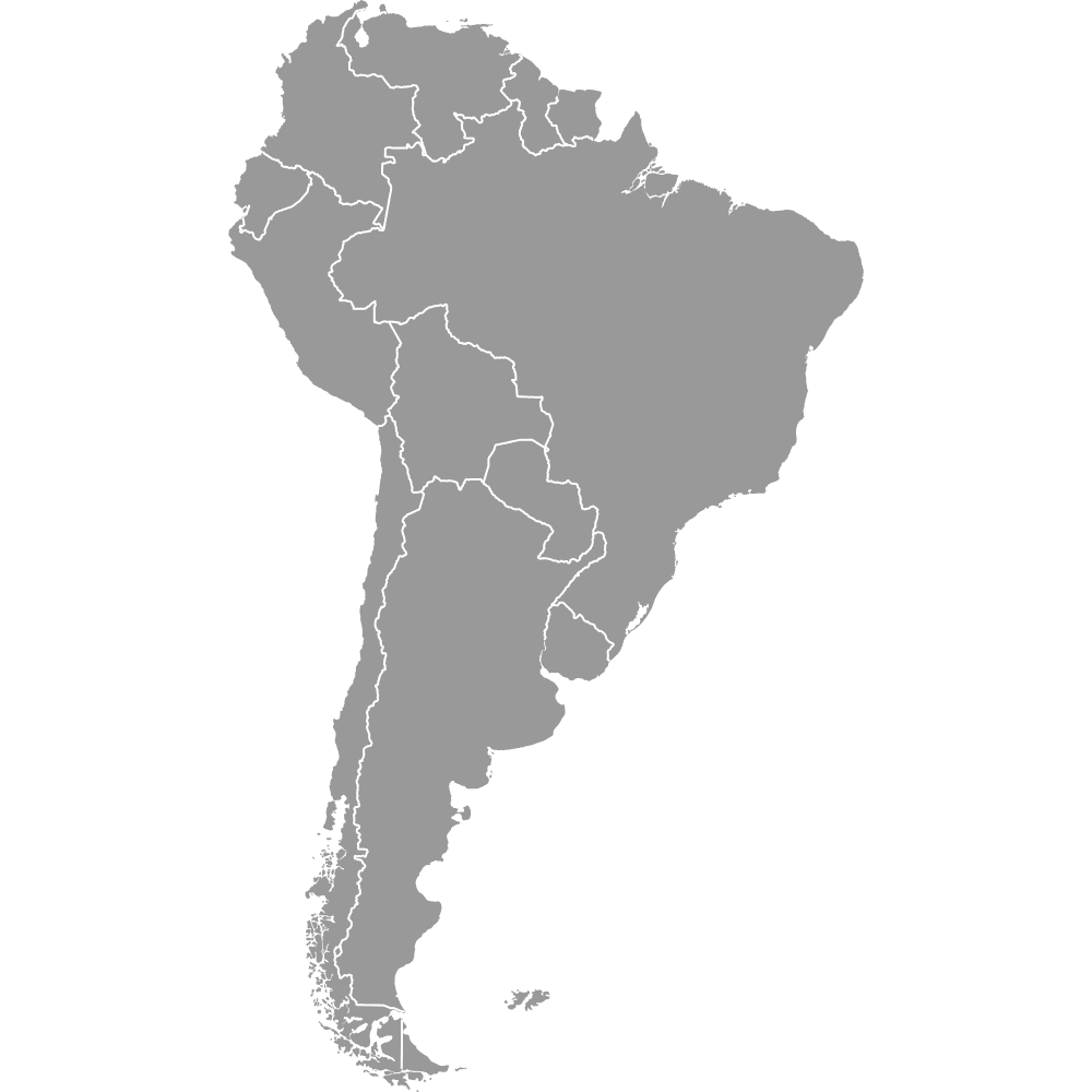
- Neighboring Countries: French Guiana, Suriname, Guyana, Venezuela, Colombia, Peru, Bolivia, Paraguay, Argentina, Uruguay
Interesting and Fun Facts
- Amazonas is larger than many countries, including Mongolia and Peru.
- São Paulo's population exceeds that of many South American countries.
- Bahia is famous for its Afro-Brazilian culture.
- Mato Grosso do Sul has the highest percentage of indigenous population.
- Roraima is entirely north of the equator.
- The borders of most states have remained the same since the 1988 Constitution.
Free Downloads
Free for personal and commercial use with a credit to Ultimaps. See the license terms for details.
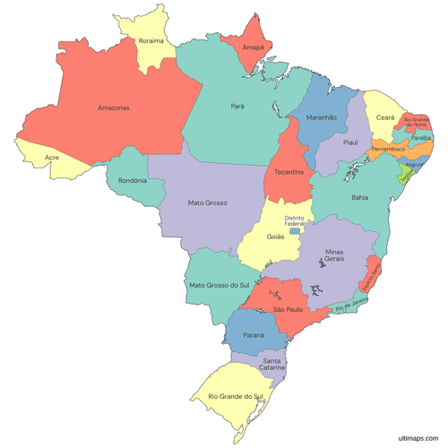 Colored Map of Brazil Statespng677 KB
 Political Map of Brazil with Statespng768 KB
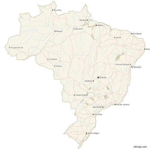 Map of Brazil with Cities and Roadspng1269 KB
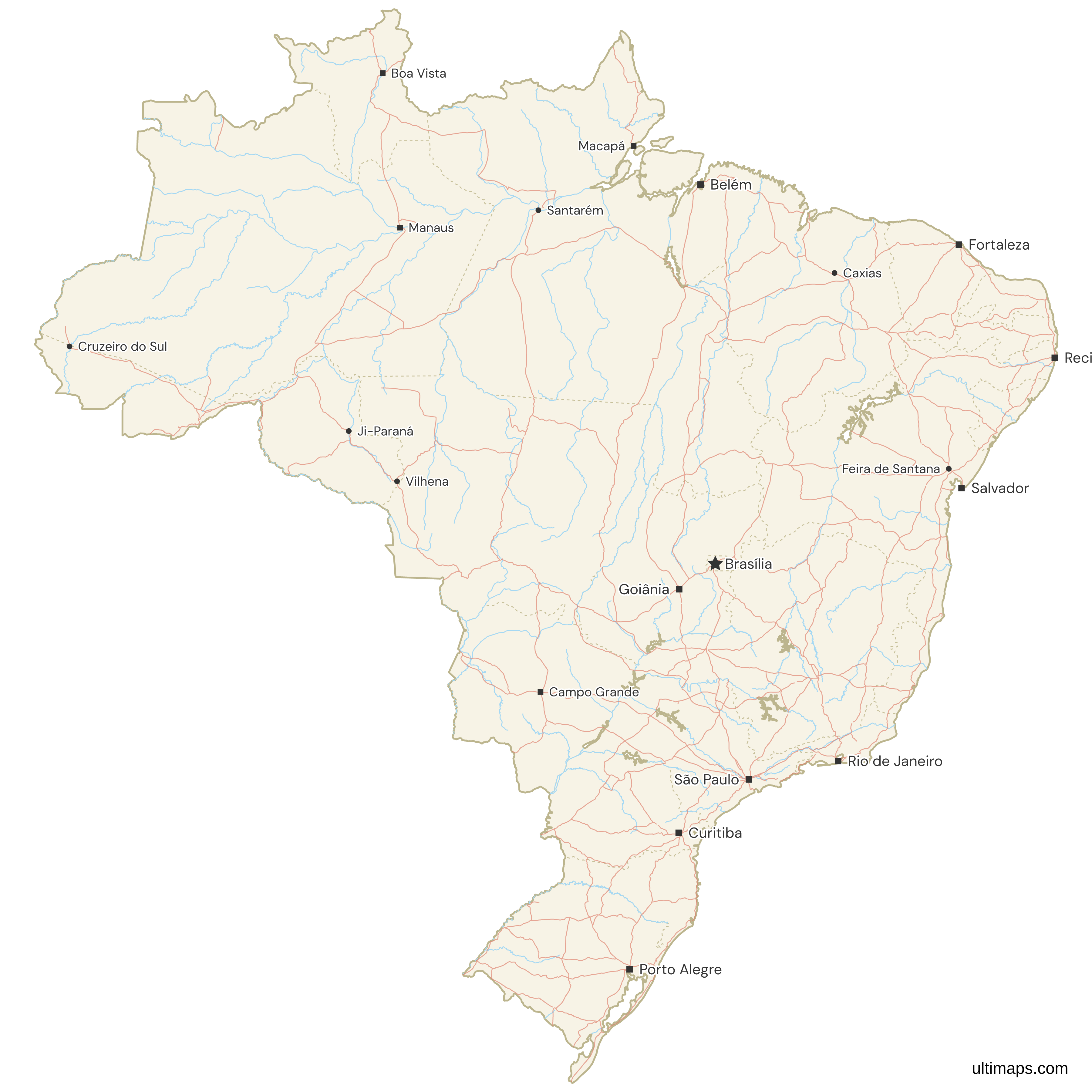
Need it without colors? The blank version of this map comes as a print-ready PDF (A4 and US Letter), a PNG and an editable SVG.
Custom Map Features
This map supports labels.
This map supports surrounding areas, roads, rivers and cities. New
This map is divided into 27 regions.
Updates
Nov 25, 2025:
- Improved map quality
- Added support for surrounding areas and lakes
Nov 21, 2024:
- Added map of Brazil states
Frequently Asked Questions
Brazil has 26 states and 1 Federal District, making a total of 27 federative units.
Amazonas is the largest state in Brazil by area, covering 1.57 million square kilometers.
The Federal District is where the capital, Brasília, is located and it is divided into 31 administrative regions instead of municipalities.
You can use Ultimaps to create custom maps of Brazil. Color-code states manually or upload data, place pins, customize look and feel, and export to PNG, PDF, or SVG.