Map of Uruguay Departments
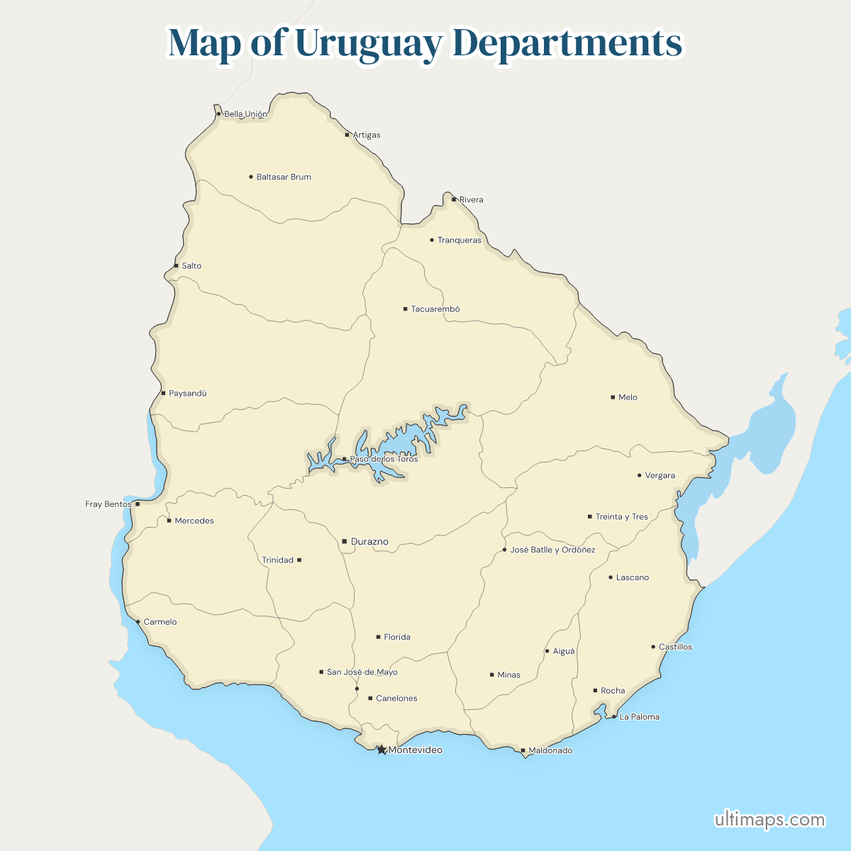
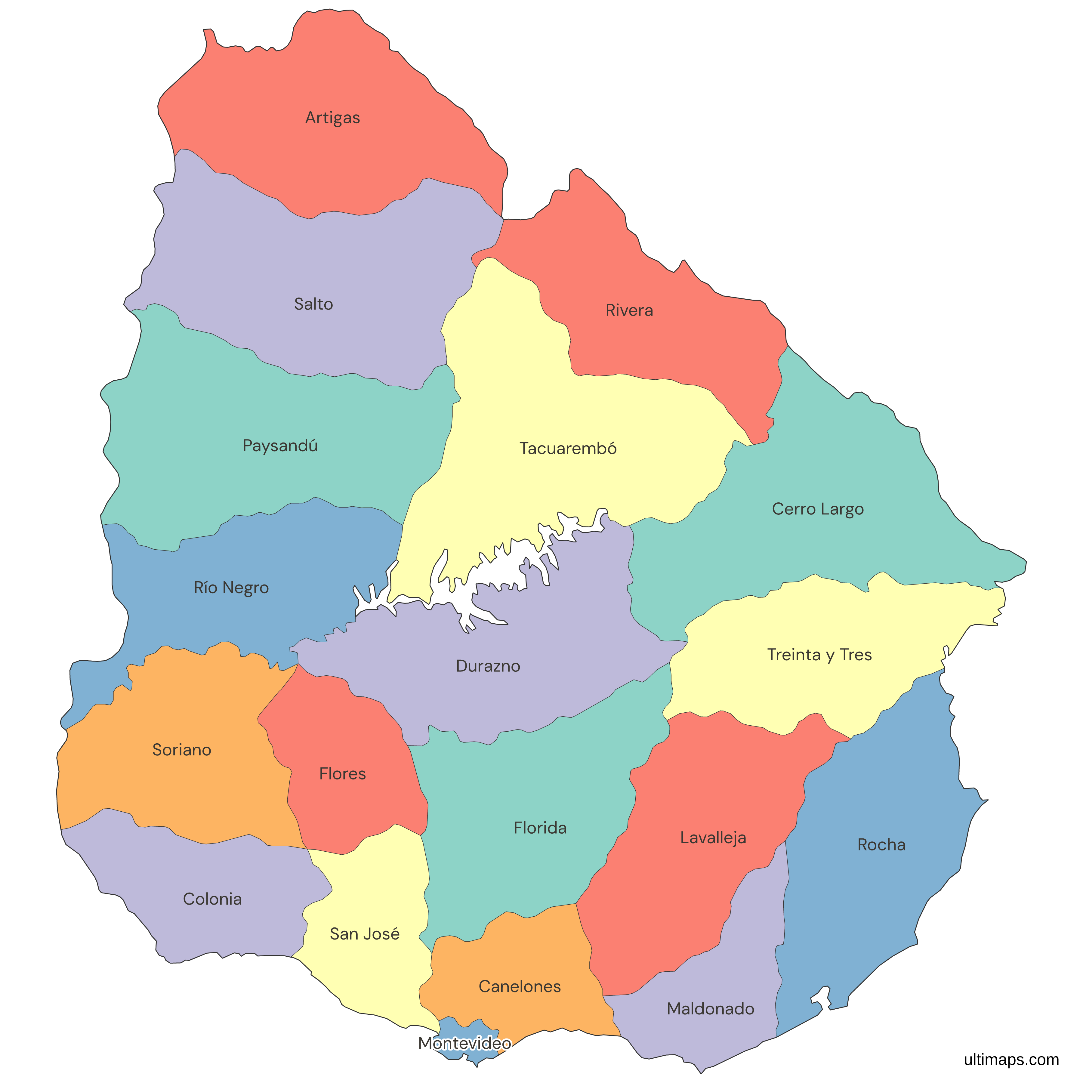
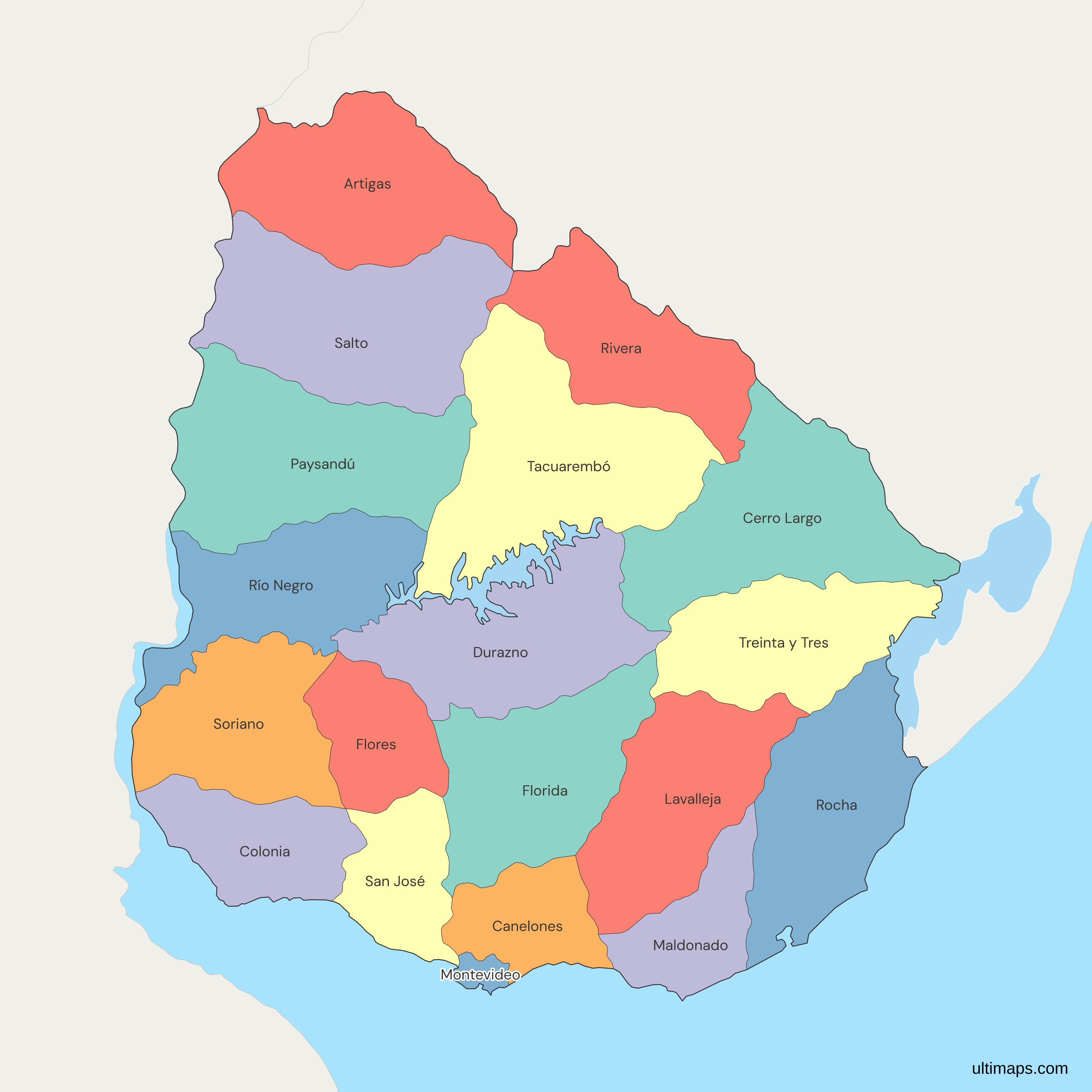
Uruguay is divided into 19 departments (departamentos en Español), each serving as a distinct administrative region. Use the interactive maps below to explore the departments and their boundaries. Download free maps or learn how to create a custom map of Uruguay to visualize your own data.
Interactive Map of Uruguay Departments
List of Departments (19)
| # | Department |
|---|---|
| 1 | Artigas |
| 2 | Canelones |
| 3 | Cerro Largo |
| 4 | Colonia |
| 5 | Durazno |
| 6 | Flores |
| 7 | Florida |
| 8 | Lavalleja |
| 9 | Maldonado |
| 10 | Montevideo |
| 11 | Paysandú |
| 12 | Río Negro |
| 13 | Rivera |
| 14 | Rocha |
| 15 | Salto |
| 16 | San José |
| 17 | Soriano |
| 18 | Tacuarembó |
| 19 | Treinta y Tres |
Uruguay Departments: Key Facts
- Number of Departments: 19
- Largest Department by Area: Tacuarembó (15,438 km²)
- Smallest Department by Area: Montevideo (530 km²)
- Most Populous Department: Montevideo (1,302,954 residents in 2023)
- Least Populous Department: Flores (26,271 residents in 2023)
- Major Urban Centers: Montevideo, Salto, Paysandú, Maldonado, Rivera, Canelones
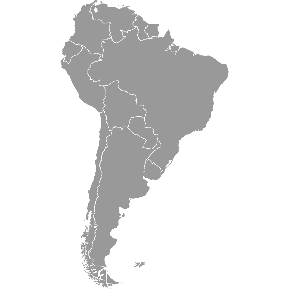
- Neighboring Countries: Argentina (west), Brazil (north and northeast)
- Coastlines: Atlantic Ocean, Río de la Plata
- Time Zone: Uruguay Standard Time (UYT), UTC -3
- Historical Note: Departmental system established in 1830
Interesting Facts
- Montevideo, both a department and the capital, houses nearly one-third of Uruguay’s population.
- Colonia del Sacramento is a UNESCO World Heritage Site, facing Buenos Aires across the Río de la Plata.
- Rocha is known for its pristine beaches and the town of Chuy, split with Brazil.
- Treinta y Tres honors the 'Thirty-Three Orientals,' national heroes in Uruguay's independence.
- Artigas is famous for its amethyst mines.
Free Downloads
Free for personal and commercial use with a credit to Ultimaps. See the license terms for details.
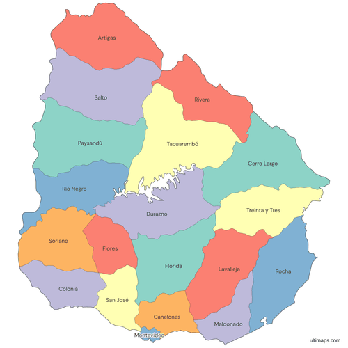 Colored Map of Uruguay Departmentspng566 KB
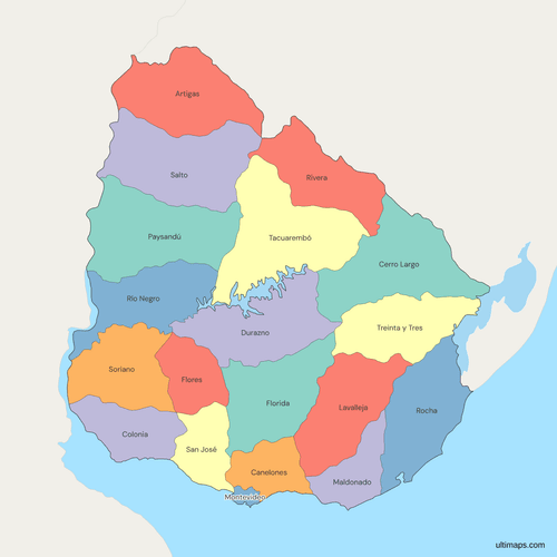 Political Map of Uruguay with Departmentspng567 KB
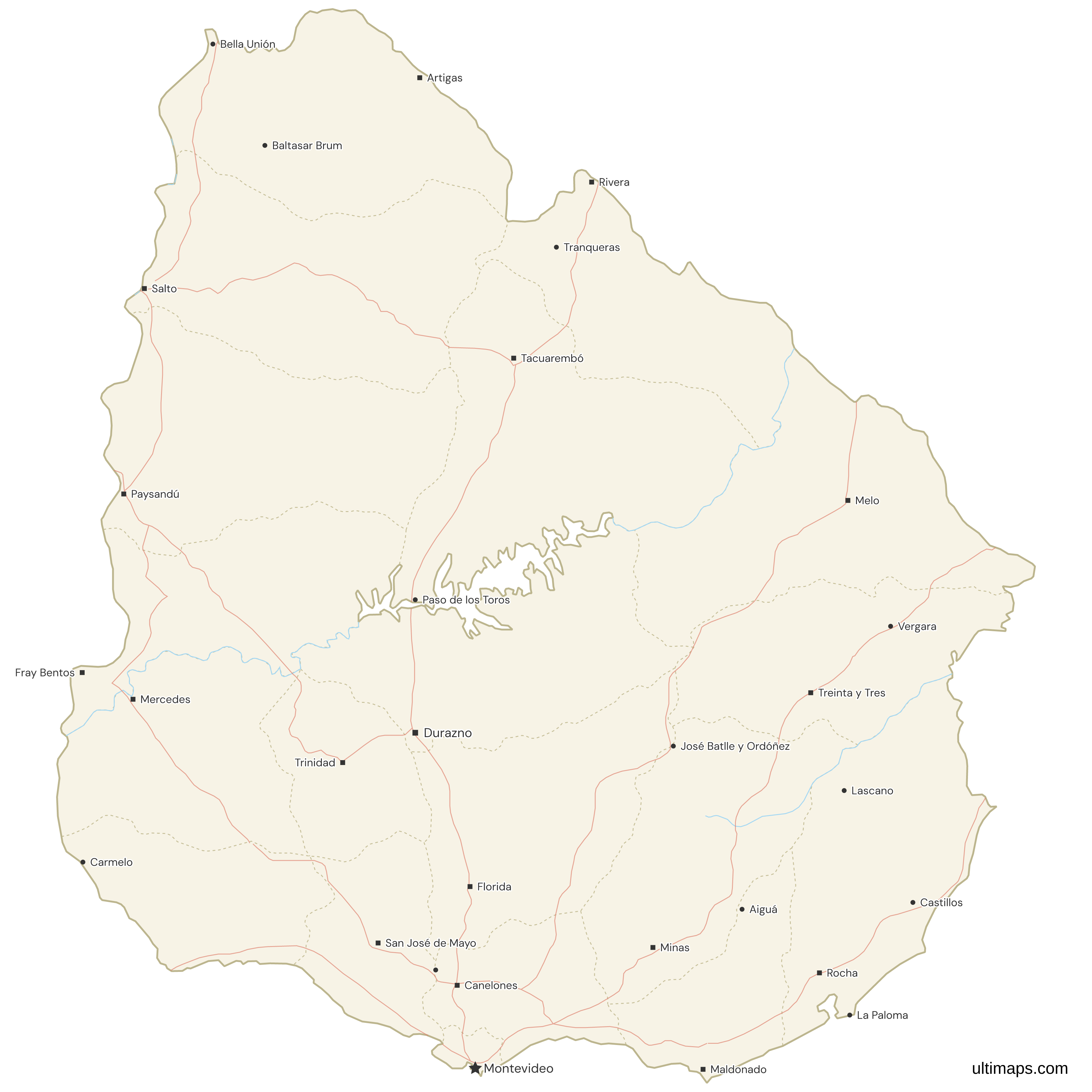
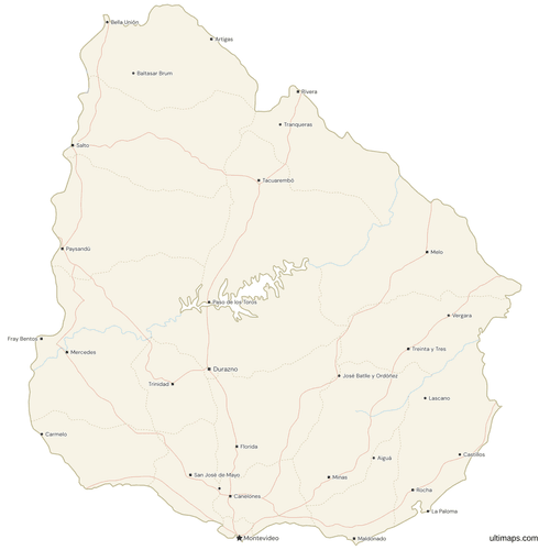 Map of Uruguay with Cities and Roadspng772 KB
Need it without colors? The blank version of this map comes as a print-ready PDF (A4 and US Letter), a PNG and an editable SVG.
Custom Map Features
This map supports labels.
This map supports surrounding areas, roads, rivers and cities. New
This map is divided into 19 departments.
Updates
Nov 25, 2025:
- Added map of Uruguay departments and its labeled version
Frequently Asked Questions
There are 19 departments in Uruguay, each serving as a first-level administrative division.
Tacuarembó is the largest department, covering 15,438 square kilometers.
Montevideo is the most populous department, with 1,302,954 residents as of the 2023 census.
Uruguay shares borders with Argentina to the west and Brazil to the north and northeast.
You can use Ultimaps to create custom maps of Uruguay. Color-code departments manually or upload data, place pins, customize look and feel, and export to PNG, PDF, or SVG.