Iceland Regions Map
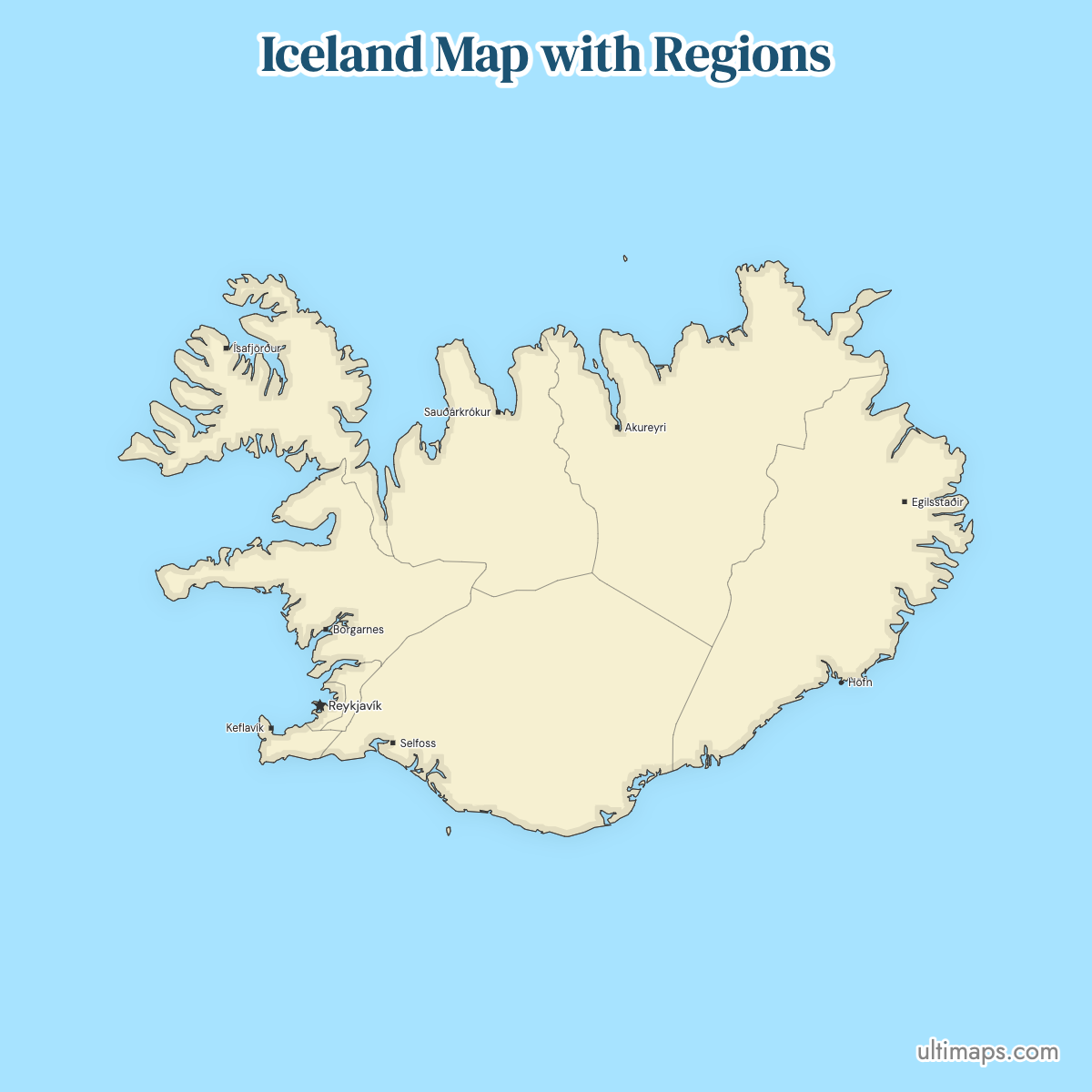
Iceland's regions map has 8 units, the regions Statistics Iceland uses to report population and economic figures, from the Capital Region with 249,054 residents to the Westfjords with 7,176 (1 January 2025). Reykjavík, the national capital, sits inside the Capital Region with Kópavogur, Hafnarfjörður and the other municipalities around it, and the region holds about 64% of the country's 389,444 people. South Iceland is the largest region at 30,983 km² (11,963 sq mi), spanning glaciers, black-sand plains and waterfalls, while the Southern Peninsula covers only 813 km² (314 sq mi).
These regions are groupings of municipalities for statistics, not governments: they have no council or budget, and the municipalities run local services. Zoom in to trace the fjords of the northwest or follow the Ring Road between Akureyri and Egilsstaðir, then color the regions with your own figures to build a thematic map of Iceland.
Interactive Iceland Regions Map
List of Regions (8)
| # | Region |
|---|---|
| 1 | Austurland |
| 2 | Höfuðborgarsvæði |
| 3 | Norðurland eystra |
| 4 | Norðurland vestra |
| 5 | Suðurland |
| 6 | Suðurnes |
| 7 | Vestfirðir |
| 8 | Vesturland |
Iceland Regions: Key Facts
- Total number of regions: 8, as defined by Statistics Iceland: the Capital Region, Southern Peninsula, West Iceland, Westfjords, Northwest Iceland, Northeast Iceland, East Iceland and South Iceland
- Most populous region: Capital Region (Höfuðborgarsvæðið), 249,054 people (2025)
- Least populous region: Westfjords (Vestfirðir), 7,176 people (2025)
- Most thinly settled region: Northwest Iceland (Norðurland vestra), 7,355 people on 13,108 km², about 0.56 per km² (2025)
- Largest region by area: South Iceland (Suðurland), 30,983 km² (11,963 sq mi), per Statistics Iceland
- Smallest region by area: Southern Peninsula (Suðurnes), 813 km² (314 sq mi), per Statistics Iceland
- Main urban centers: Reykjavík in the Capital Region, Akureyri in Northeast Iceland, Reykjanesbær on the Southern Peninsula, Selfoss in South Iceland, Ísafjörður in the Westfjords, Egilsstaðir in East Iceland, Akranes in West Iceland, Sauðárkrókur in Northwest Iceland
- Capital: Reykjavík, inside the Capital Region
- Borders: no land borders. Iceland sits in the North Atlantic, with the Iceland Sea to the north and the Denmark Strait between it and Greenland. The other closest neighbors across water are the Faroe Islands, Norway and the United Kingdom, all mapped alongside the rest of Europe
- Time zone: UTC+0, Iceland Standard Time, kept year-round with no daylight saving switch
- Legal status: statistical divisions rather than self-governing units; municipalities hold the local government powers
- Boundary history: the regions were defined as statistical reporting units rather than by a single reform act. The municipalities inside them have merged repeatedly, which changes the fine detail of the map without changing the eight-region framework
Interesting Facts
- South Iceland covers 30,983 km² and the Southern Peninsula 813 km², so the largest region is about 38 times the size of the smallest.
- About 64% of Iceland's 389,444 residents live in the Capital Region, which covers roughly 1% of the country's land (2025).
- Northeast Iceland collects several of the country's best-known sights in one region: Lake Mývatn, Goðafoss, Dettifoss and the Ásbyrgi canyon.
- Snæfellsjökull National Park and Kirkjufell belong to West Iceland, while Dynjandi waterfall and the Látrabjarg cliffs are in the Westfjords.
- The Westfjords and Northwest Iceland have almost the same population, 7,176 and 7,355 (2025), but Northwest Iceland spreads its residents over far more land, which makes it the most thinly settled region.
Free Downloads
Free for personal and commercial use with a credit to Ultimaps. See the license terms for details.
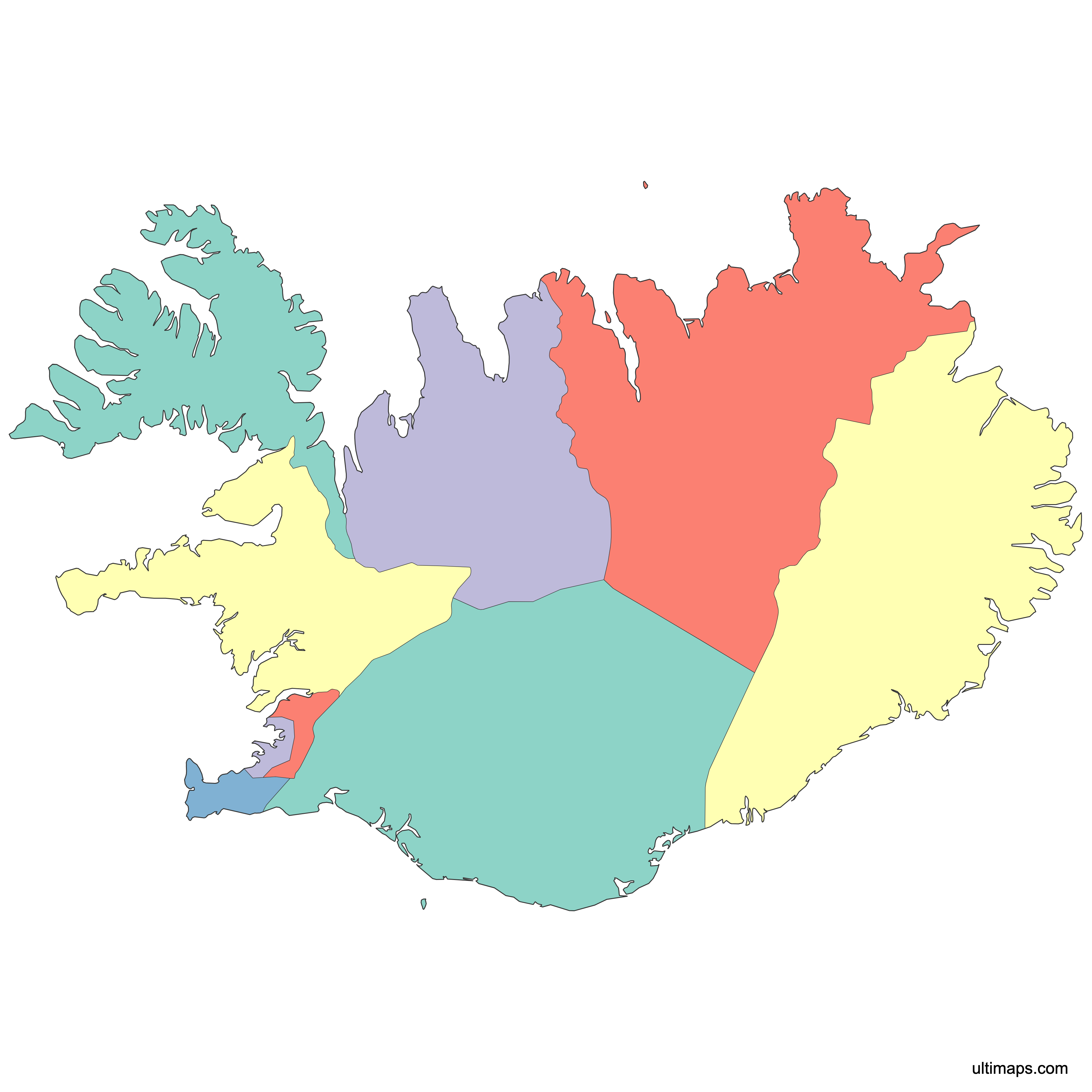
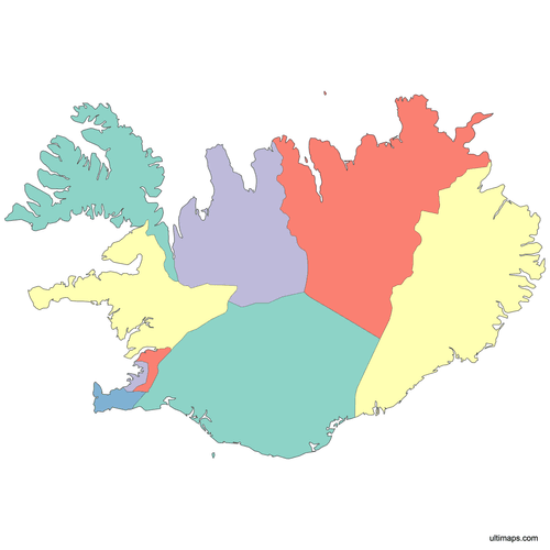 Colored Iceland Regions Mappng538 KB
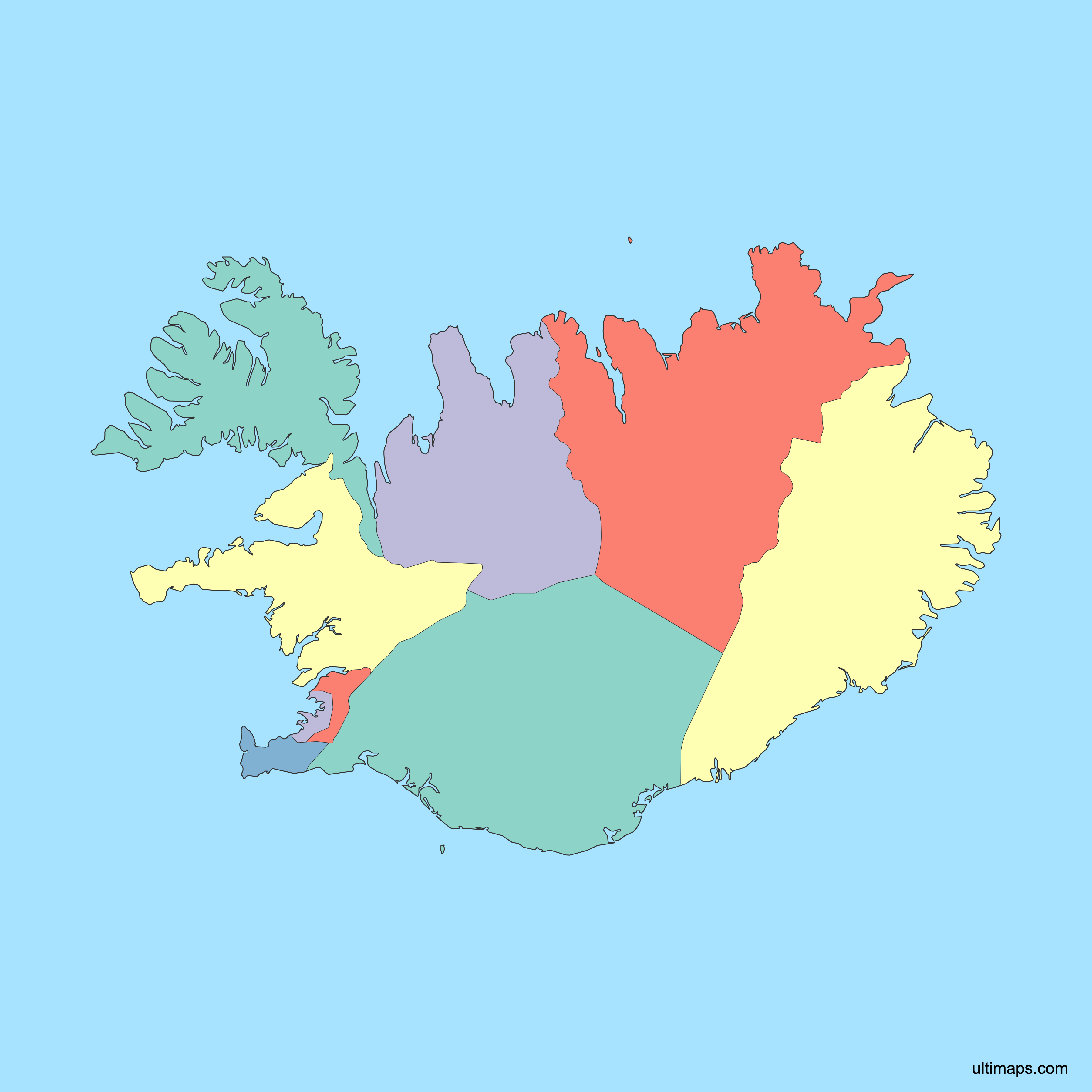
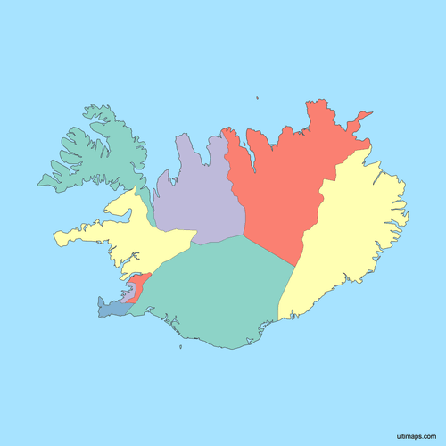 Political Map of Iceland with Regionspng480 KB
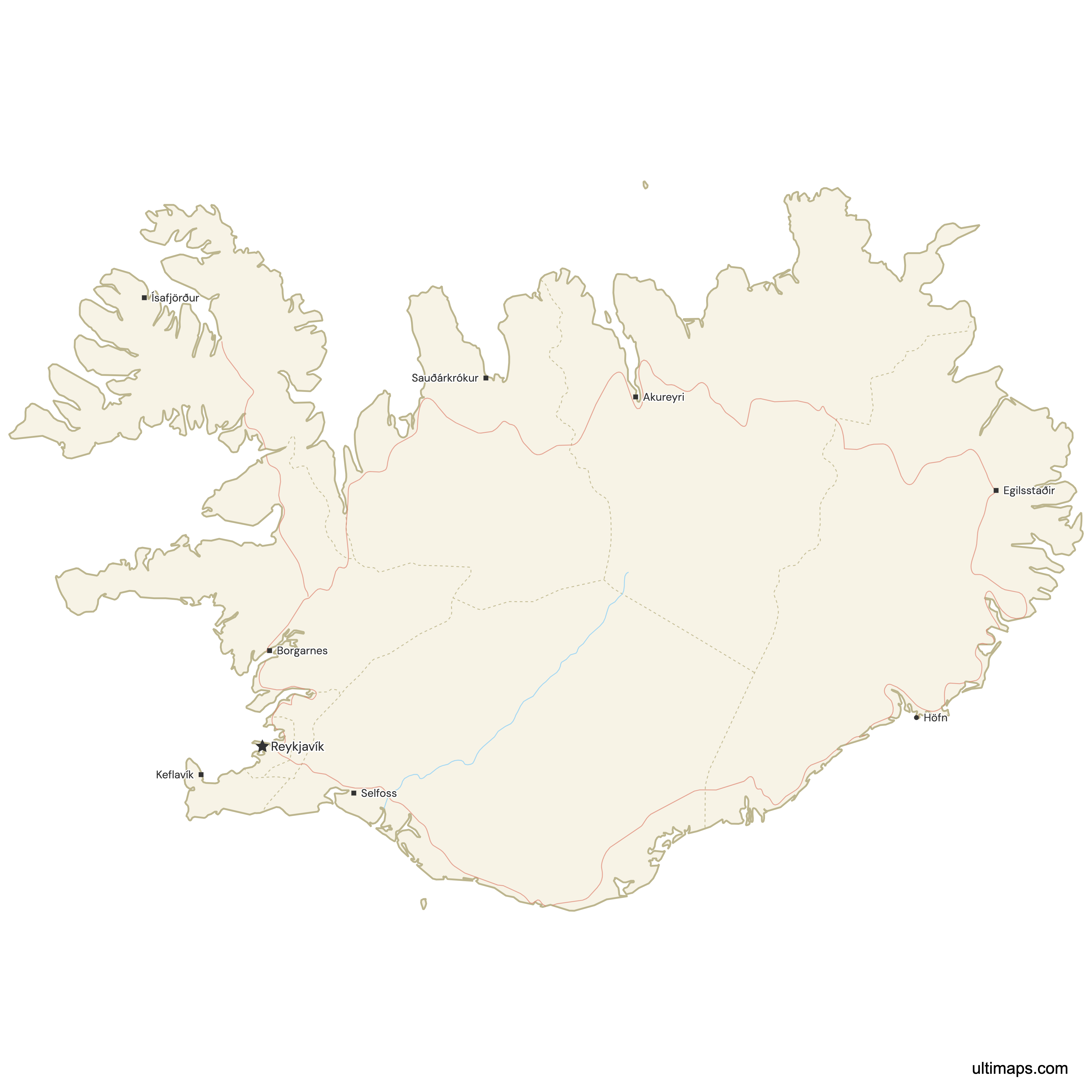
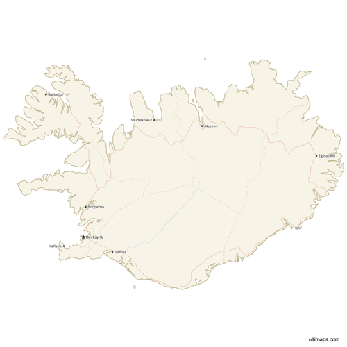 Map of Iceland with Cities and Roadspng597 KB
Need it without colors? The blank version of this map comes as a print-ready PDF (A4 and US Letter), a PNG and an editable SVG.
Custom Map Features
This map supports labels.
This map supports surrounding areas, roads, rivers and cities. New
This map is divided into 8 regions.
Updates
September 28, 2026:
- Reykjavík is now part of the Capital Region, so the map shows Iceland's 8 official regions
May 14, 2026:
- Added map of Iceland Regions with surrounding countries, cities, roads, rivers and lakes
Frequently Asked Questions
Iceland has 8 regions: the Capital Region, Southern Peninsula, West Iceland, Westfjords, Northwest Iceland, Northeast Iceland, East Iceland and South Iceland, and all 8 appear on the map on this page. The regions serve statistical purposes. They collect census, tourism and labour figures, but they do not elect assemblies or levy taxes. Local government in Iceland sits with the municipalities, which merge and change far more often than the eight regional boundaries do.
South Iceland (Suðurland) is the largest of Iceland's regions at 30,983 km² (11,963 sq mi), stretching from the coastal lowlands around Selfoss and Vík inland toward the Highlands. It contains the waterfalls Seljalandsfoss and Skógafoss, black-sand beaches and large glaciated areas, which makes it one of the most visited parts of the country. The Southern Peninsula, at 813 km² (314 sq mi), sits at the other end of the range. On a choropleth map the size difference matters: South Iceland dominates the frame visually even when its value is modest, so a legend and clear labels help readers.
The Capital Region (Höfuðborgarsvæðið) is the most populous region of Iceland with 249,054 residents (2025). It contains Reykjavík, the capital and the country's main cultural and economic center, along with the neighbouring municipalities that ring the city. Landmarks there include Hallgrímskirkja and the Harpa Concert Hall. No other region comes close: the Westfjords, at the opposite extreme, has 7,176 people (2025). Akureyri in Northeast Iceland and Reykjanesbær on the Southern Peninsula are the largest towns outside the capital area. Because population is so concentrated, per-capita indicators usually read very differently from raw totals when you map them.
The Westfjords (Vestfirðir) is the least populous region of Iceland, with 7,176 residents (2025), just below Northwest Iceland's 7,355. Ísafjörður is the main service town. The peninsula's coastline is cut by long, deep fjords, which lengthens road journeys and keeps settlements small and scattered. Dynjandi waterfall and the Látrabjarg bird cliffs are both here. Northwest Iceland, not the Westfjords, is the most thinly settled region, because it spreads a similar population over 13,108 km². When you color Icelandic regions by totals, both regions sit at the pale end of the scale, so rates per 1,000 inhabitants often tell a more useful story than counts.
Reykjavík is in the Capital Region (Höfuðborgarsvæðið), which had 249,054 inhabitants in 2025 and also covers Kópavogur, Hafnarfjörður, Garðabær, Mosfellsbær and the other neighbouring municipalities. The city is a municipality, not a region of its own, although some older boundary datasets outline it separately and show a ninth shape. If you are joining data by name, check whether your source reports figures for Reykjavík the city or for the whole Capital Region. Mixing the two produces totals that will not reconcile with national statistics.
Iceland's 8 regions are statistical divisions, not administrative ones. They have no regional parliament, governor or budget. Municipalities are the country's real local government tier, running schools, planning and social services, and they are the units that merge or split over time. The regions exist so that population, employment, tourism and economic data can be reported at a level between the municipality and the state. That is also why regional boundaries change rarely: they follow groupings of municipalities. For most reporting and mapping work, the eight regions remain the standard sub-national breakdown for Iceland.
Iceland has no states or provinces. The country has two tiers of government, the national state and the municipalities, and the 8 regions group those municipalities for statistics. Iceland also has 23 historical counties (sýslur), which still appear in place names and older maps but no longer form a layer of government. If you are looking for a map of Iceland's states, provinces or counties, the 8-region map is the standard breakdown that current statistics use.
Iceland's best-known landmarks spread across all the regions. Hallgrímskirkja and Harpa stand in the Capital Region. West Iceland holds Snæfellsjökull National Park and the peak Kirkjufell. Dynjandi waterfall and the Látrabjarg cliffs are in the Westfjords. Northeast Iceland has Lake Mývatn, Goðafoss, Dettifoss and Ásbyrgi canyon. Stuðlagil canyon and the Vök Baths are in East Iceland, near Egilsstaðir. South Iceland covers Seljalandsfoss and Skógafoss along with the black-sand coast around Vík. Marking these as pins on top of a colored regional map gives readers a reference point for where each figure applies.
Everything happens in the browser on this page, and the editor is free to use without an account. If you have data, import a table of eight numbers, one per region, and the regions are colored on a scale with a legend. Without data, click individual regions, the Westfjords alone for instance, and recolor them by hand. Palette, background, label wording, typeface and outline weight are set independently, and pins can mark Reykjavík, Akureyri, Ísafjörður or any coordinates you choose, each with a caption. A free export is a standard PNG with a small Ultimaps credit, and high-resolution PNG, SVG and PDF exports come with a Pro plan.